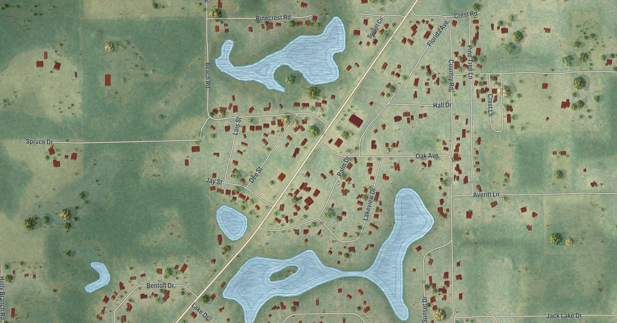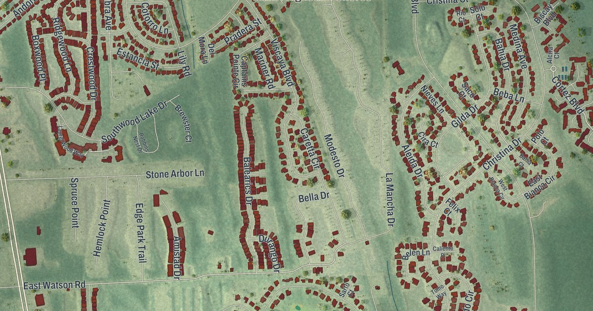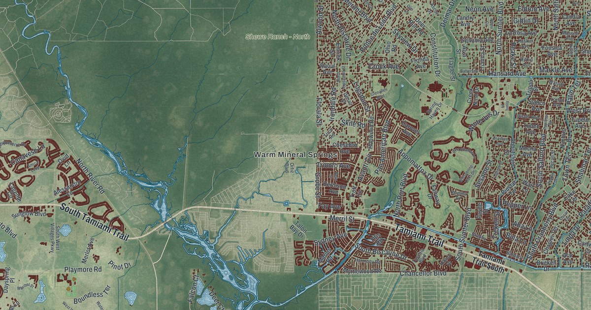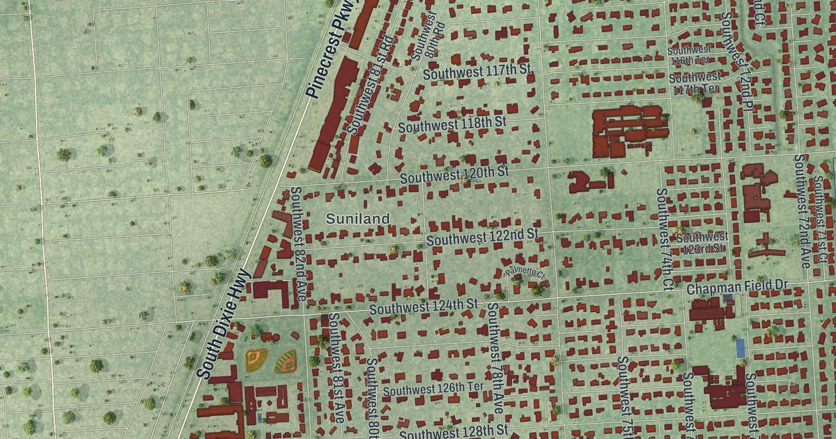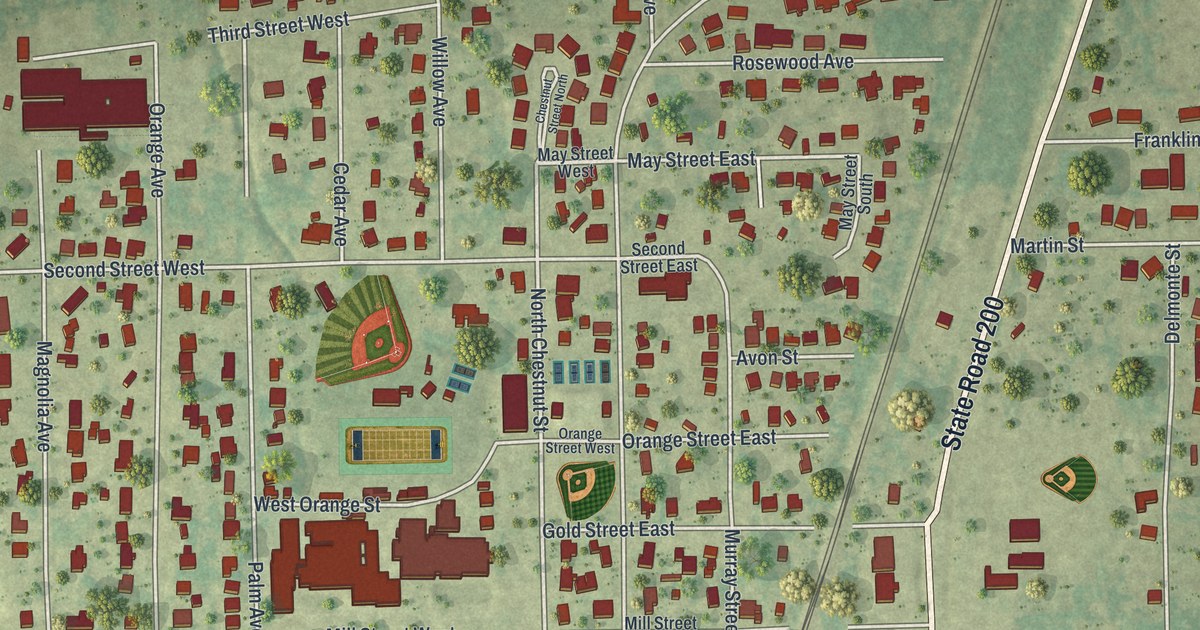
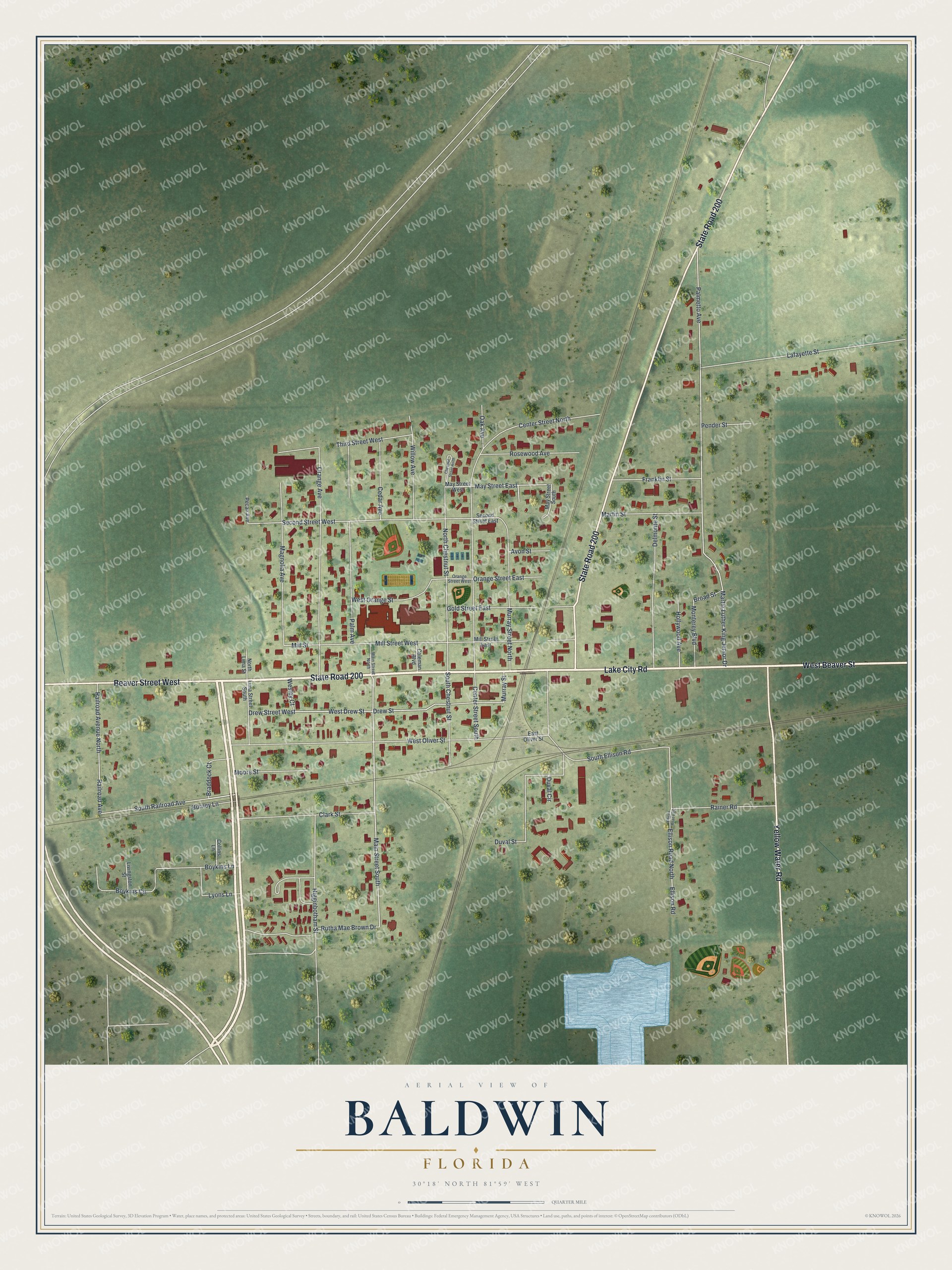
This beautifully detailed map of Baldwin, Florida was created in 2026 using aerial imagery combined with modern topographical, census, street and landmark data. It’s a one-of-a-kind view of Baldwin that combines accurate data with a vintage aesthetic. The map shows every building in its true location, many of the roads carry their names, and the shaded topographic relief shows the shape of the land.
Explore an aerial view of Baldwin, Florida
On the map you’ll find State Road 200, West Beaver Street, Lake City Road, Yellow Water Road, Beaver Street West, Main Street South, West Drew Street, Drew Street, South Railroad Avenue, Murray Street, North Chestnut Street, May Street East, and more. If you look closely you can even find your house accurately drawn in its correct location. Zoom in on the preview to look for yours.
Did You Know?
Baldwin began in 1846 as Thigpen, named for a man who ran a tavern for the stagecoach line. After railroads arrived, the town was renamed for Abel Seymour Baldwin. He served as head of the Florida, Atlantic and Gulf Central Railroad.
Take a closer look at the Baldwin map
Names on this map
These names are printed on this map.
Streets and roads: State Road 200, West Beaver Street, Lake City Road, Yellow Water Road, Beaver Street West, Main Street South, West Drew Street, Drew Street, South Railroad Avenue, Murray Street, North Chestnut Street, May Street East.
More street names, A to Z
Avon Street, Boykins Circle, Boykins Lane, Braddock Court, Broad Street, Burney Lane, Cedar Avenue, Center Street North, Center Street South, Chestnut Street North, Clark Street, Coleman Boulevard, Collins Lane, Delmonte Street, Drew Street West, Duval Circle, Duval Street, East Oliver Street, Ellison Road, Ellison Road East, Ellison Road North, Franklin Street, Gold Street East, Higginbotham Street, Hollywood Avenue, Lafayette Street, Lima Street South, Livingston Street, Lyons Lane, Magnolia Avenue, Main Street North, Martin Luther King Junior Drive, Martin Street, May Street South, May Street West, Mill Street, Mill Street East, Mill Street West, Monterey Boulevard, Moore Street, Murray Street North, North Lima Street, Oak Avenue, Orange Avenue, Orange Street East, Orange Street West, Palm Avenue, Palmetto Avenue, Pecan Avenue, Pender Street, Railroad Avenue, Railroad Avenue North, Rainer Road, Rosewood Avenue, Rutha Mae Brown Drive, Second Street East, Second Street West, South Chestnut Street, South Ellison Road, Third Street West, Wesley Court, West Oliver Street, West Orange Street, Willow Avenue.
See it on a wall
The Baldwin map as a framed print. Swipe for more.


This beautifully detailed map of Baldwin makes an attractive addition to your office, library, or den, and it can even be used to teach children the geography and history of the area. It also makes a great gift for anyone who grew up in Baldwin or moved away. When you’re done exploring, click here to get your copy of the Baldwin map.