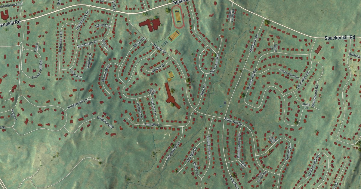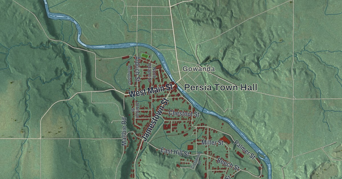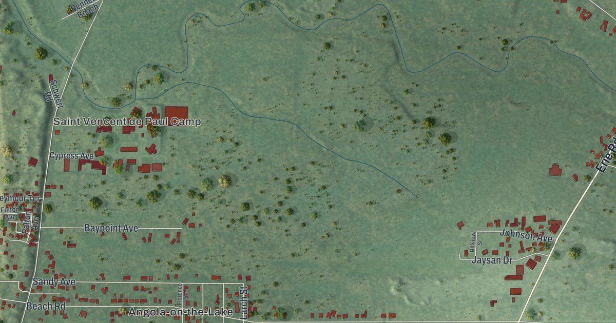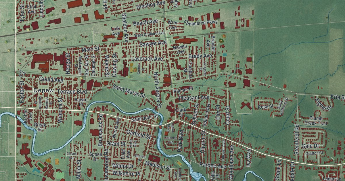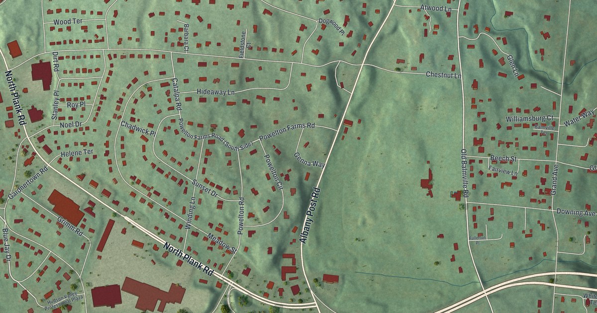
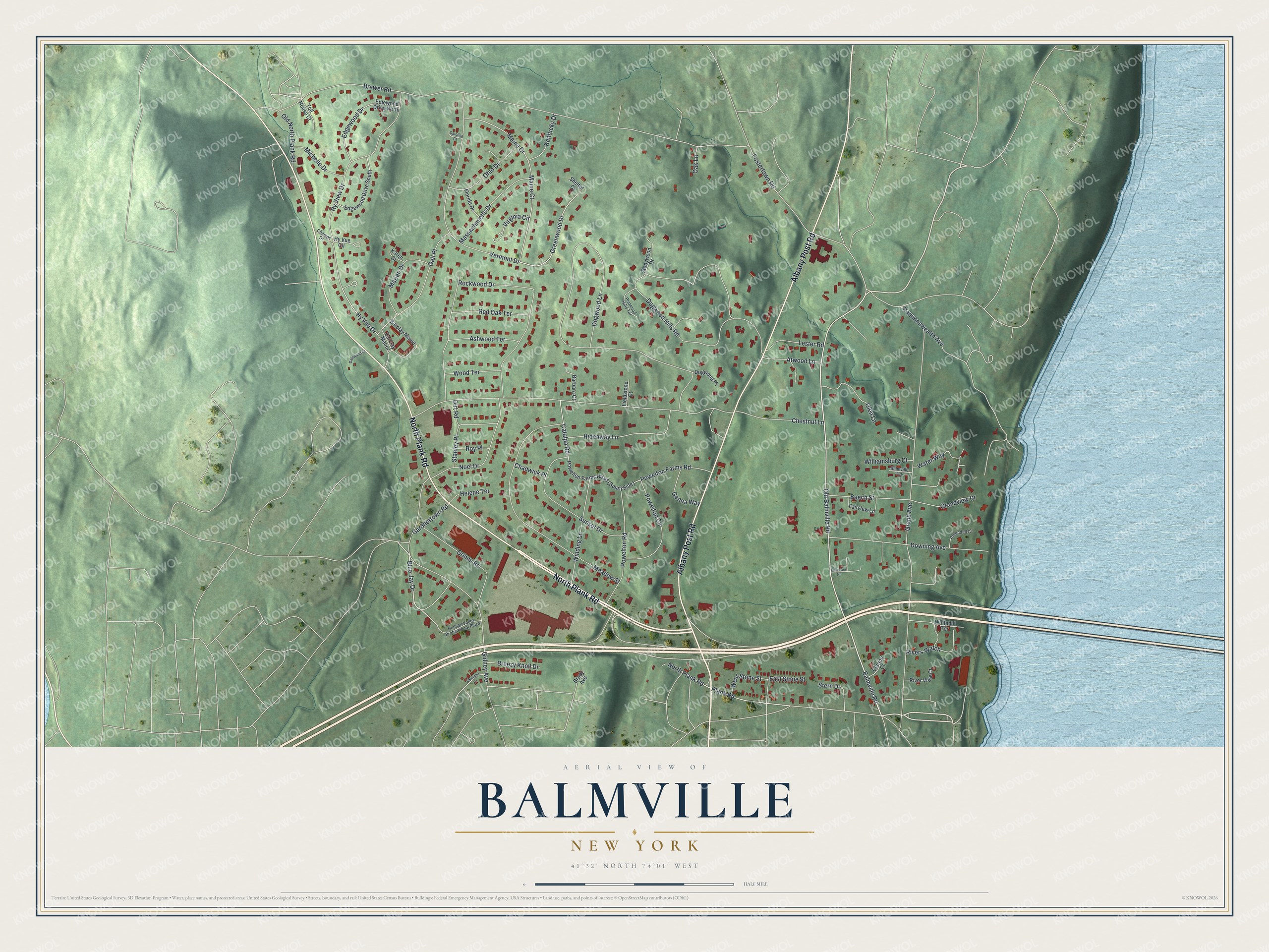
This beautifully detailed map of Balmville, New York was created in 2026 using aerial imagery combined with modern topographical, census, street and landmark data. It’s a one-of-a-kind view of Balmville that combines accurate data with a vintage aesthetic. The map shows every building in its true location, many of the roads carry their names, and the shaded topographic relief shows the shape of the land.
Explore an aerial view of Balmville, New York
On the map you’ll find Plank Road, Albany Post Road, Balmville Road, Blue Jay Drive, Gardnertown Road, and more. If you look closely you can even find your house accurately drawn in its correct location. Zoom in on the preview to look for yours.
Did You Know?
The Balmville Tree once stood in this hamlet and counted as New York’s smallest state forest. The tree was over 300 years old and one of only three federally protected trees in the nation. As it rapidly decayed, state conservation officers cut it down for safety on August 5, 2015.
Take a closer look at the Balmville map
Names on this map
These names are printed on this map.
Streets and roads: North Plank Road, Albany Post Road, Balmville Road, Blue Jay Drive, Gardnertown Road, Water Way, Hy Vue Drive, Greenwood Drive, Plank Road, Old Balmville Road, Brewer Road, Chestnut Lane.
More street names, A to Z
Aldendell Court, Ashwood Terrace, Atwood Lane, Balmville Terrace, Barbara Court, Barclay Manor, Beech Street, Brady Avenue, Breezy Knoll Drive, Carolina Court, Catalpa Road, Chadwick Place, Champs Drive, Clarion Court, Commonwealth Avenue, Dalewood Drive, Dirt Road, Dogwood Hills Road, Dogwood Lane, Dogwood Place, Downing Avenue, East Stone Street, Edgewood Drive, Edgewood Drive South, Edjewood Drive North, Fairview Lane, Fieldstone Court, Florida Drive, Fostertown Road, Fullerton Place, Gail Place, Genna Way, Gidney Avenue, Glen Lane, Grand Avenue, Grandview Drive, Grimm Road, Helene Terrace, Hideaway Lane, Hudson Valley Professional Plaza, Hy View Drive, Hy Vue Circle, Karen Court, Kentucky Drive, Lester Road, Maine Court, Maine Drive, Marian Drive, Massachusetts Drive, Meadow Street, Michelle Drive, Noel Drive, Oak Lane, Ohio Drive, Old North Plank Road, Poowood Hills Terrace, Powelton Circle, Powelton Farms Road, Powelton Road, Red Oak Terrace, Rivers Watch, River View Court, Rockwood Drive, Roy Place, Shelter Cv, Sherman Drive, Stanley Place, Stern Drive, Stonywood Drive, Sunset Drive, Toll House Court, Vermont Drive, Virginia Circle, West Stone Street, Whitehill Terrace, Williamsburg Court, Winding Lane, Wood Terrace.
See it on a wall
The Balmville map as a framed print. Swipe for more.


This beautifully detailed map of Balmville makes an attractive addition to your office, library, or den, and it can even be used to teach children the geography and history of the area. It also makes a great gift for anyone with Balmville roots. When you’re done exploring, click here to get your copy of the Balmville map.