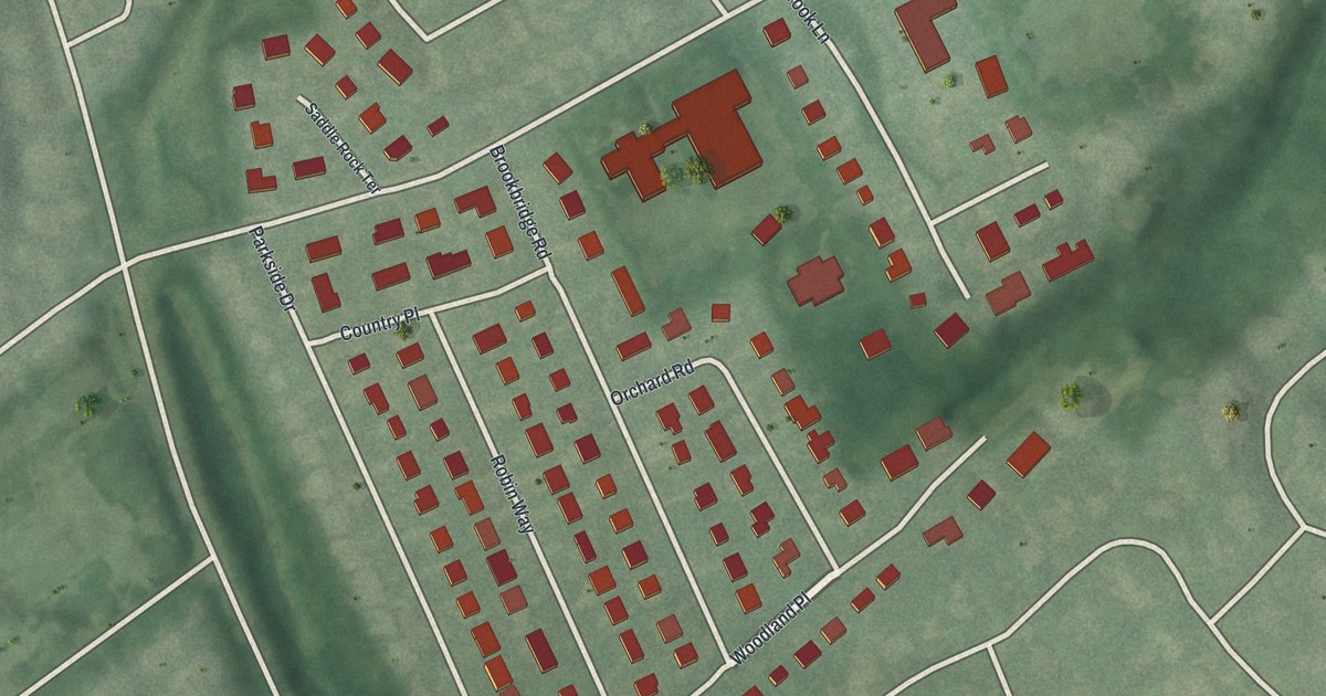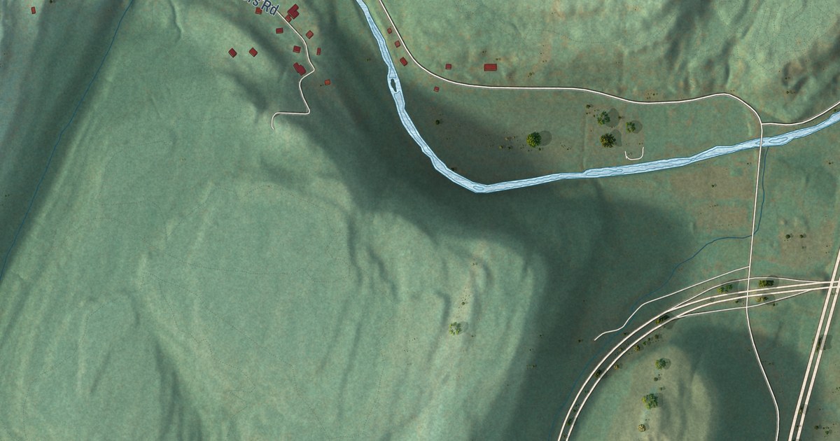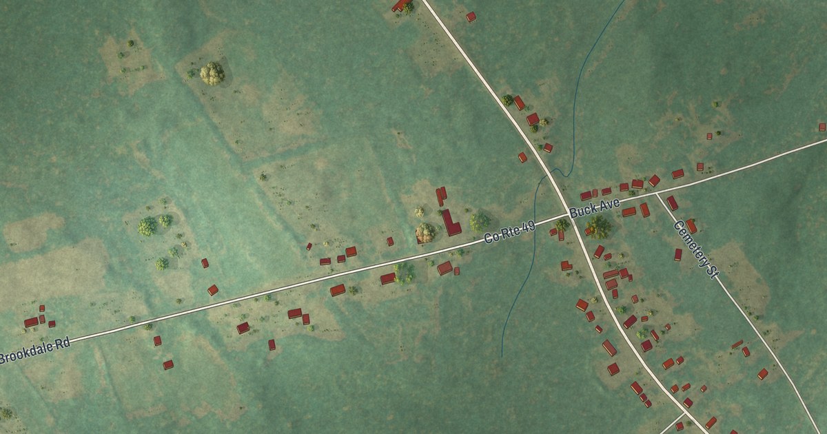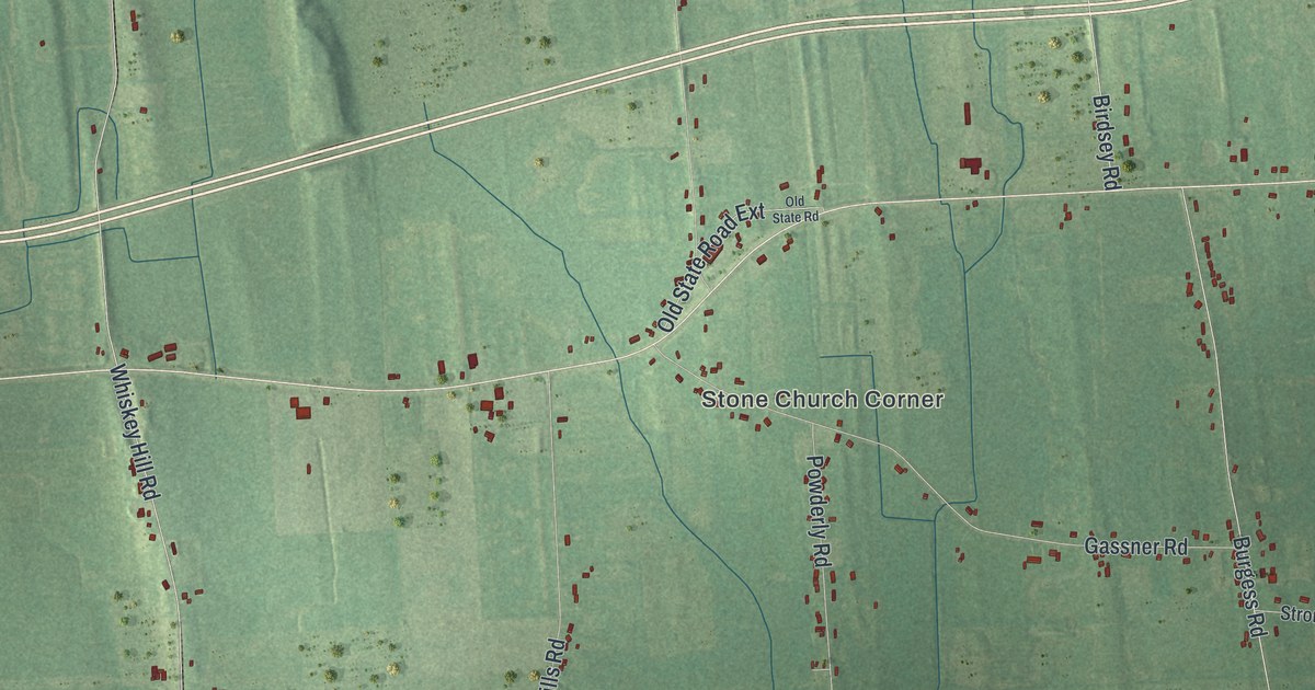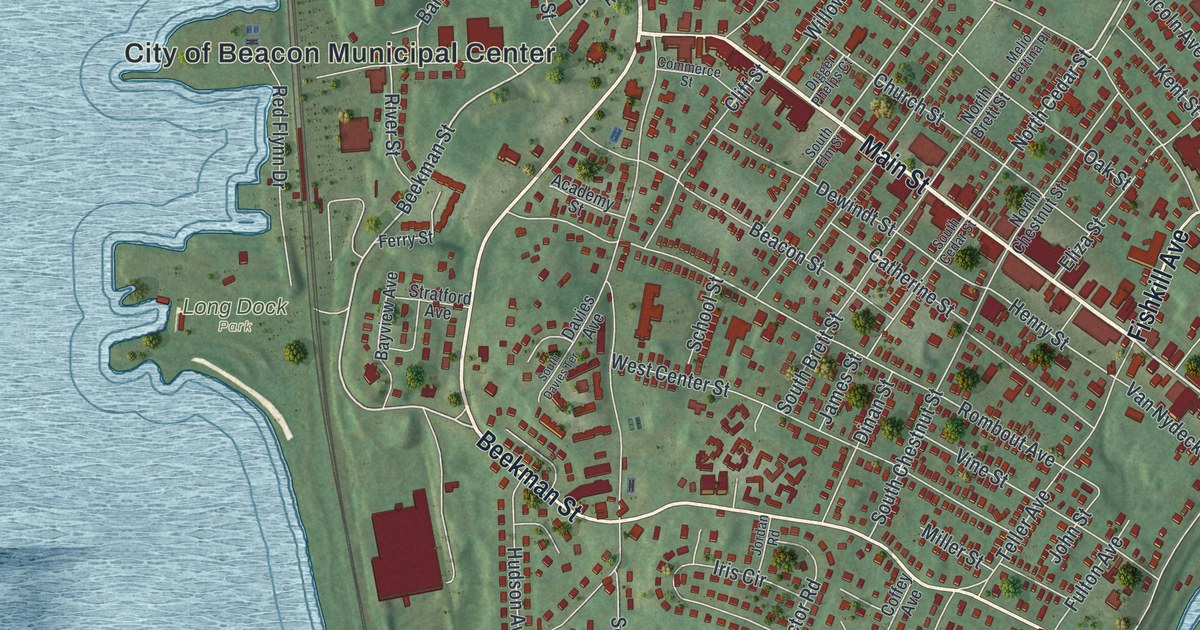
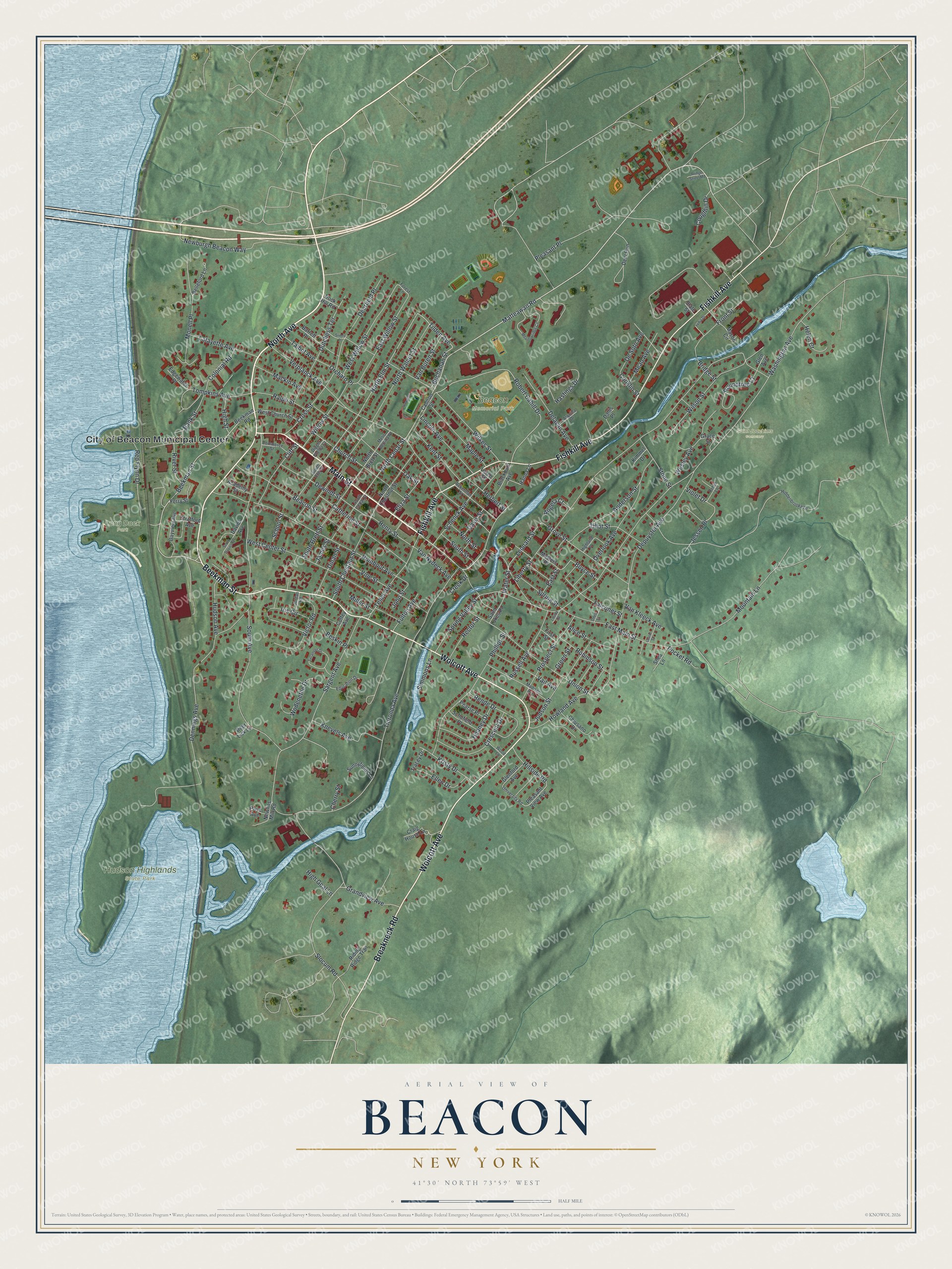
This beautifully detailed map of Beacon, New York was created in 2026 using aerial imagery combined with modern topographical, census, street and landmark data. It’s a one-of-a-kind view of Beacon that combines accurate data with a vintage aesthetic. The map shows every building in its true location, many of the roads carry their names, and the shaded topographic relief shows the shape of the land.
Explore an aerial view of Beacon, New York
On the map you’ll find Hudson Highlands State Park, Long Dock Park, and Saint Joachims Cemetery, along with Main Street, North Avenue, Wolcott Avenue, Beekman Street, Breakneck Road, and more. If you look closely you can even find your house accurately drawn in its correct location. Zoom in on the preview to look for yours.
Did You Know?
Beacon takes its name from the signal fires of the Revolution. Patriots lit them on the summit of the Fishkill Mountains to warn the Continental Army when British troops moved. Europeans had settled the area in 1709 as two villages, Matteawan and Fishkill Landing.
Take a closer look at the Beacon map
Names on this map
These names are printed on this map.
Places: City of Beacon Municipal Center, Beacon Memorial Park, Hudson Highlands State Park, Long Dock Park and Saint Joachims Cemetery.
Streets and roads: Main Street, North Avenue, Wolcott Avenue, Beekman Street, Breakneck Road, Fishkill Avenue, Matteawan Road, East Main Street, North Cedar Street, Tilden Avenue, Buchanan Street, Grandview Avenue.
More street names, A to Z
Academy Street, Ackerman Street, Alice Street, Anderson Street, Angela Court, Arquilla Drive, Bank Street, Barrett Place, Bayview Avenue, Beacon Street, Beekman Road, Belleford Lane, Beskin Place, Blackburn Avenue, Boyce Street, Bridge Street, Bridge Street Md, Cannon Street, Catherine Street, Cherry Street, Chiusano Drive, Church Street, Cliff Street, Coffey Avenue, Colonial Road, Commerce Street, Conklin Street, Coughlin Drive, Craig House Lane, Creek Drive, Crescent Drive, Cross Street, Dallis Place, Davies Avenue, Davis Street, Deerfield Place, Deer Lick Lane, Deer Run, Delavan Avenue, Dennings Avenue, Depuyster Avenue, De Soto Avenue, Dewindt Street, Digger Phelps Court, Dinan Street, Dutchess Terrace, East Street, East Willow Street, Edgewater Place, Education Drive, Eliza Street, Ellen Drive, Falconer Street, Ferry Street, First Street, Forest Lane, Front Street, Fulton Avenue, Glen Avenue, Glenford Avenue, Grace Street, Green Street, Grove Street, Hanna Lane, Hastings Drive, Heaney Drive, Helen Court, Henry Street, Herbert Street, Hiddenbrooke Drive, High Goal Lane, Highland Place, High Street, Hillside Road, Howland Avenue, Hudson Avenue, Iris Circle, James Street, Jessen Place, John Street, Jordan Road, Judson Street, Kent Street, Kimmel Drive, Knevels Avenue, Kristy Drive, Lafayette Avenue, Larch Street, Laurel Street, Leonard Street, Liberty Street, Lincoln Avenue, Louisa Street, Lydia Drive, Mackin Avenue, Madison Avenue, Maple Street, Mason Circle, Masters Place, Mead Avenue, Meadowridge Circle, Melio Bettina Place, Miller Street, Monell Place, Mountain Lane, Newburgh Beacon Way, Newlins Mill Road, North Brett Street, North Chestnut Street, North Elm Street, North Street, North Walnut Street, Oak Street, Odell Street, Orchard Place, Overlook Avenue, Paye Avenue, Pearse Place, Phillips Street, Pleasant Place, Pleasant View Avenue, Pocket Road, Prospect Street, Ralph Street, Rector Street, Red Flynn Drive, Rende Drive, Riding Ridge Trail, River Street, Robert Cahill Drive, Robin Lane, Robinson Street, Rock Hill Road, Rombout Avenue, Roundtree Court, Russell Avenue, Saint Lukes Place, Sargent Avenue, Schenck Avenue, Schofield Place, School Street, Shea Lane, Simmons Lane, Sivers Place, Slocum Road, South Avenue, South Brett Street, South Cedar Street, South Chestnut Street, South Davies Terrace, South Elm Street, South Street, Spring Street, Spring Valley Street, State Street, Stone Street, Stratford Avenue, Sunnyfields Lane, Sycamore Drive, Talbot Avenue, Teller Avenue, Tillot Street, Tioronda Avenue, Tompkins Avenue, Tracey Drive, Union Street, University Road, Vail Avenue, Van Buren Street, Van Kleeck Avenue, Van Nydeck Avenue, Verplanck Avenue, Victor Road, Vine Street, Violet Drive, Washington Avenue, Water Street, Wesley Avenue, West Center Street, West Church Street, West Willow Street, Wilkes Street, Willow Street, Wilson Street, Wodenethe Drive, Wood Lane.
See it on a wall
The Beacon map as a framed print. Swipe for more.


This beautifully detailed map of Beacon makes an attractive addition to your office, library, or den, and it can even be used to teach children the geography and history of the area. It also makes a great gift for anyone with Beacon roots. When you’re done exploring, click here to get your copy of the Beacon map.