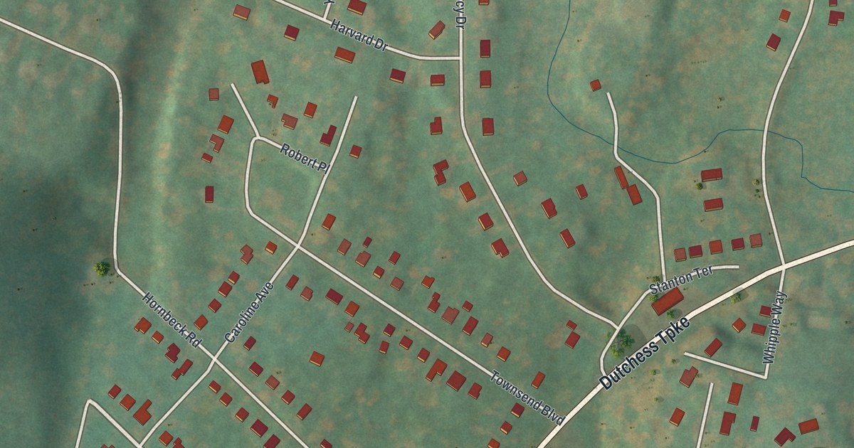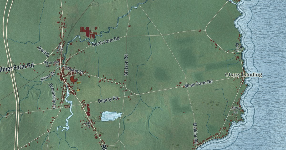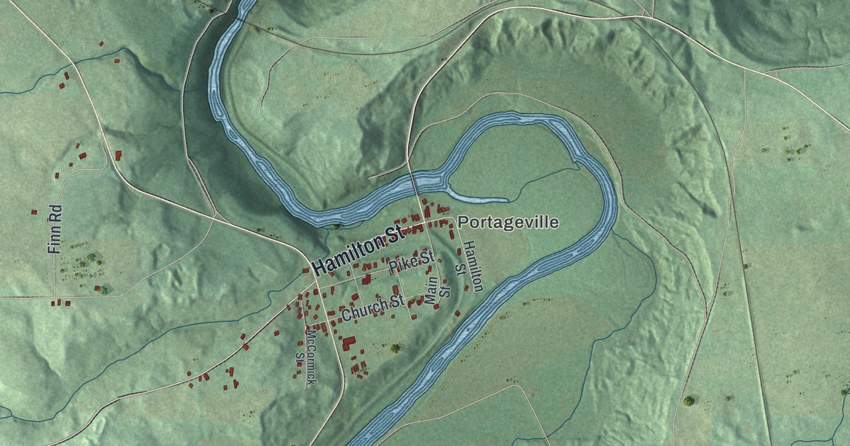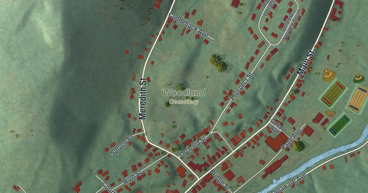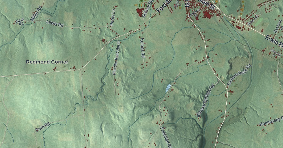
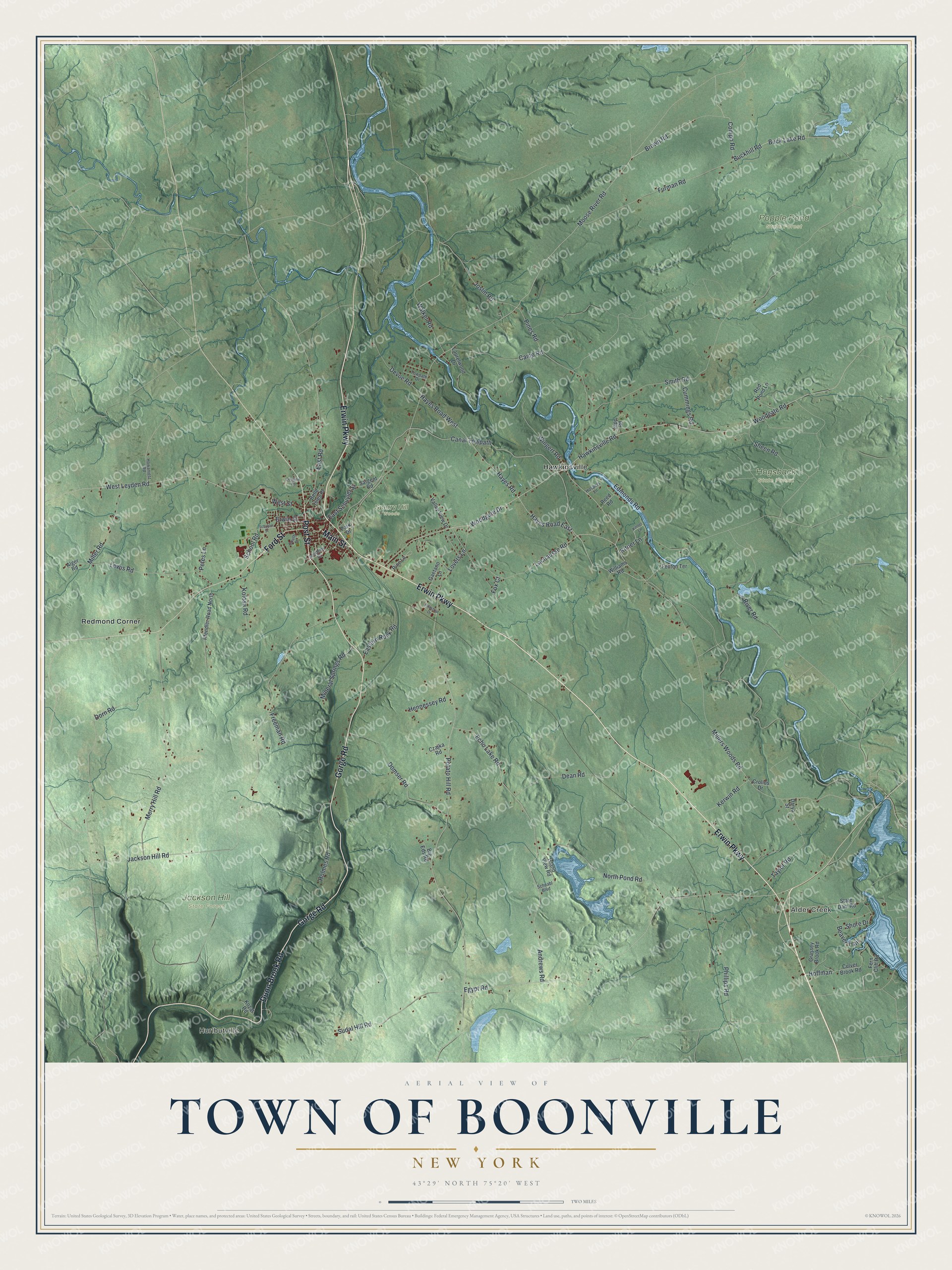
This beautifully detailed map of the Town of Boonville, New York was created in 2026 using aerial imagery combined with modern topographical, census, street and landmark data. It’s a one-of-a-kind view of the Town of Boonville that combines accurate data with a vintage aesthetic. The map shows every building in its true location, many of the roads carry their names, and the shaded topographic relief shows the shape of the land.
Explore an aerial view of the Town of Boonville, New York
On the map you’ll find Hurlbutville, Alder Creek, Hawkinsville, Redmond Corner, Hogsback State Forest, Jackson Hill State Forest, and Popple Pond State Forest, along with Erwin Parkway, Dunn Brook Road, Gorge Road, Post Street, Main Street, and more. If you look closely you can even find your house accurately drawn in its correct location. Zoom in on the preview to look for yours.
Did You Know?
Boonville takes its name from Gerrit Boon, a land agent for the Holland Land Company. Both the town and its village carry his name. Settlers first arrived around 1795. The town was split off from the town of Leyden in 1805.
Take a closer look at the Town of Boonville map
Names on this map
These names are printed on this map.
Places: Hurlbutville, Alder Creek, Hogsback State Forest, Jackson Hill State Forest, Popple Pond State Forest, Sperry Hill Woods, Hawkinsville and Redmond Corner.
Streets and roads: Erwin Parkway, Dunn Brook Road, Gorge Road, Post Street, Main Street, Ford Street, Millers Woods Road, Hayes Road East, Hayes Road, Canal Towpath, Buck Lake Road, Compo Road.
More street names, A to Z
Academy Street, Alger Road, Andrews Road, Beaver Trail, Belle Isles Place, Big Eds Road, Brown Road, Buckhill Road, Camp Road, Crolius Drive, Culver Brook Road, Cummings Road, Czajka Road, Darya Street, Dean Road, Denslow Road, Devoe Road, Domser Road, Dorn Road, Eastern Rock Road, East Road, East Schuyler Street, Echo Lake Road, Edmonds Road, Egypt Road, Erwin Street, Fenton Terrace, Fern Cliff Road, Fox Court, Freeman Road, Furman Road, Gaetano Lane, Grassey Brook Road, Hawkinsville Road, Hayes Road West, Hennessey Road, Hoffman, Holmes Road, Hospers Lane, Howanietz Road, Industrial Drive, Island View Road, Jackson Hill Road, Joslin Road, Kerwin Road, Kipp Road, Kitner Lane, Kittner Lane, Kolosa Road, Kozar Road, Lachausse Road, Laurelwood Drive, Lewis Road, Lovers Lane, Merry Hill Road, Miller Road, Mineral Springs Road, Moose River Road, North Pond Road, Park Drive, Petes Lane, Pfendler Road North, Phillips Road, Pine Lane, Pines Road, Potato Hill Road, Red Pond Lane, Reed Road, River Road, Sargent Road, Schnabl Boulevard, School Road, Schuyler Street, Sheen Road, Shore Drive, Smith Road, South Street, State Dam Road, Sudal Hill Road, Taylor Road, Towpath Drive, Valley View Drive, Walker Road, West Leyden Road, West Street, Williams Road, Wingert Road, Woodgate Drive, Woodgate Road.
See it on a wall
The Boonville map as a framed print. Swipe for more.


This beautifully detailed map of the Town of Boonville makes an attractive addition to your office, library, or den, and it can even be used to teach children the geography and history of the area. It also makes a great gift for someone who left the Town of Boonville and still calls it home. When you’re done exploring, click here to get your copy of the Town of Boonville map.