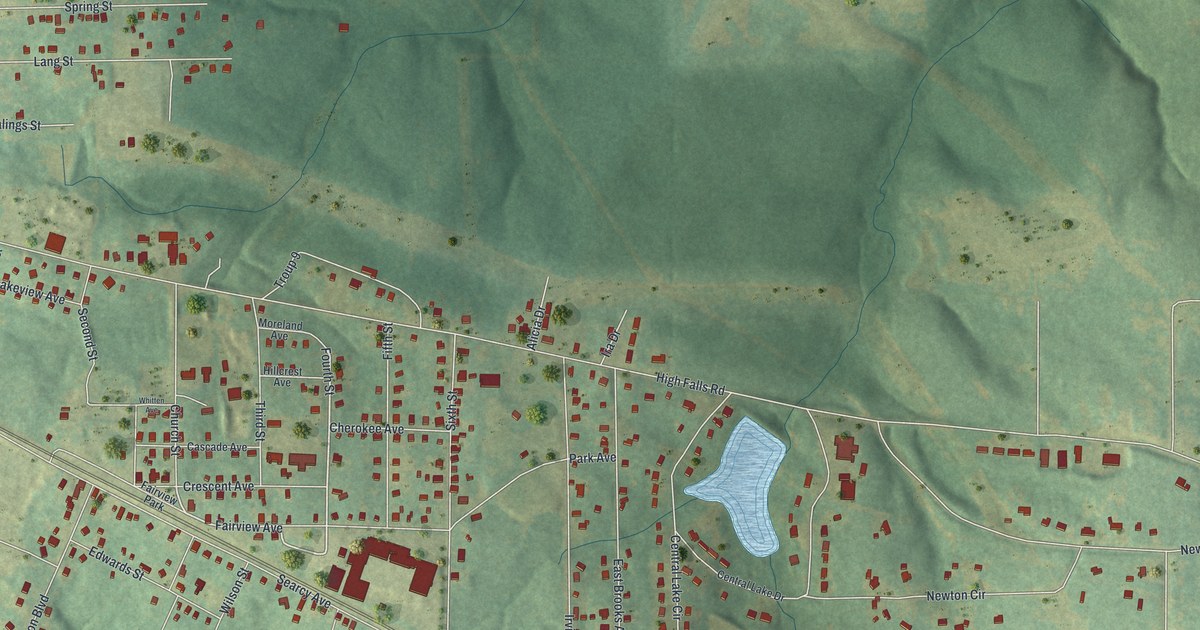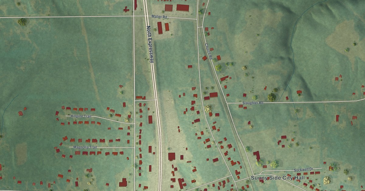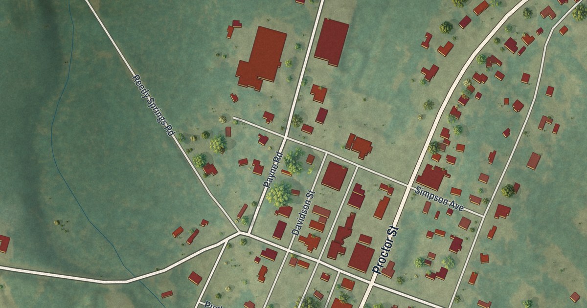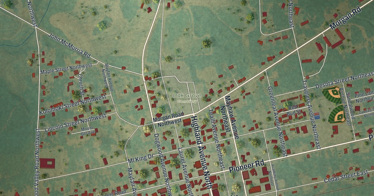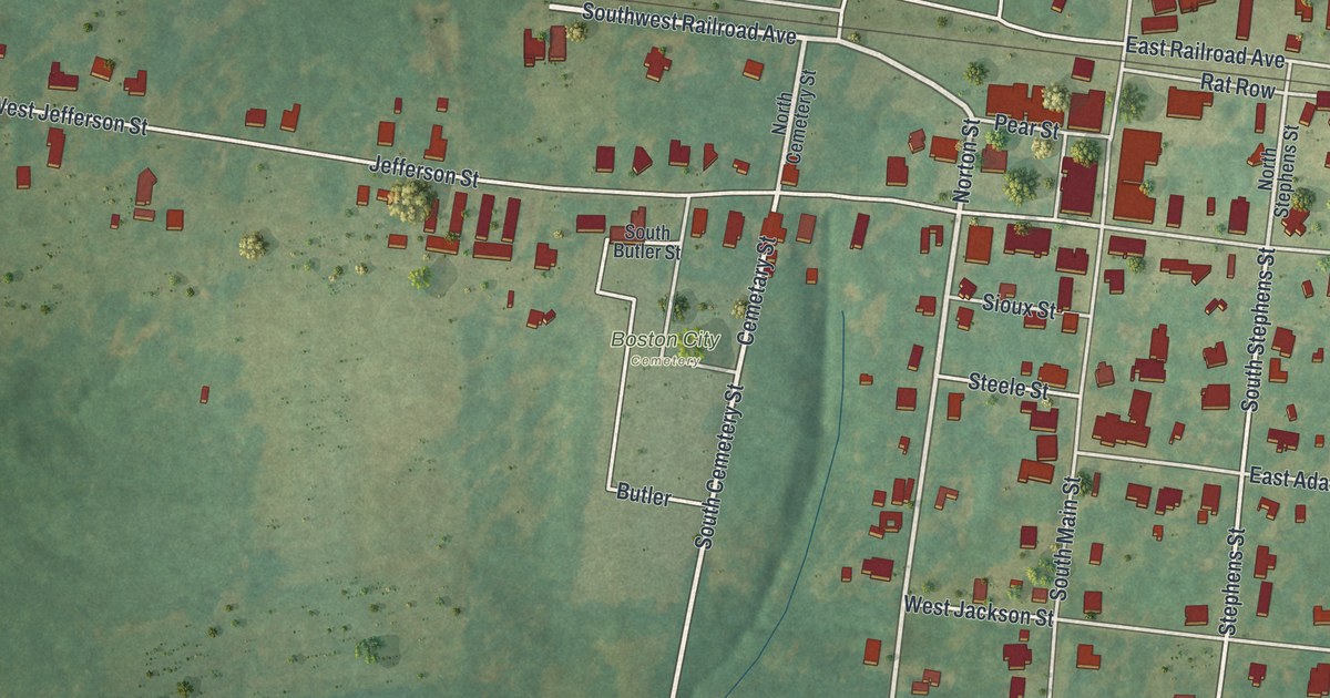
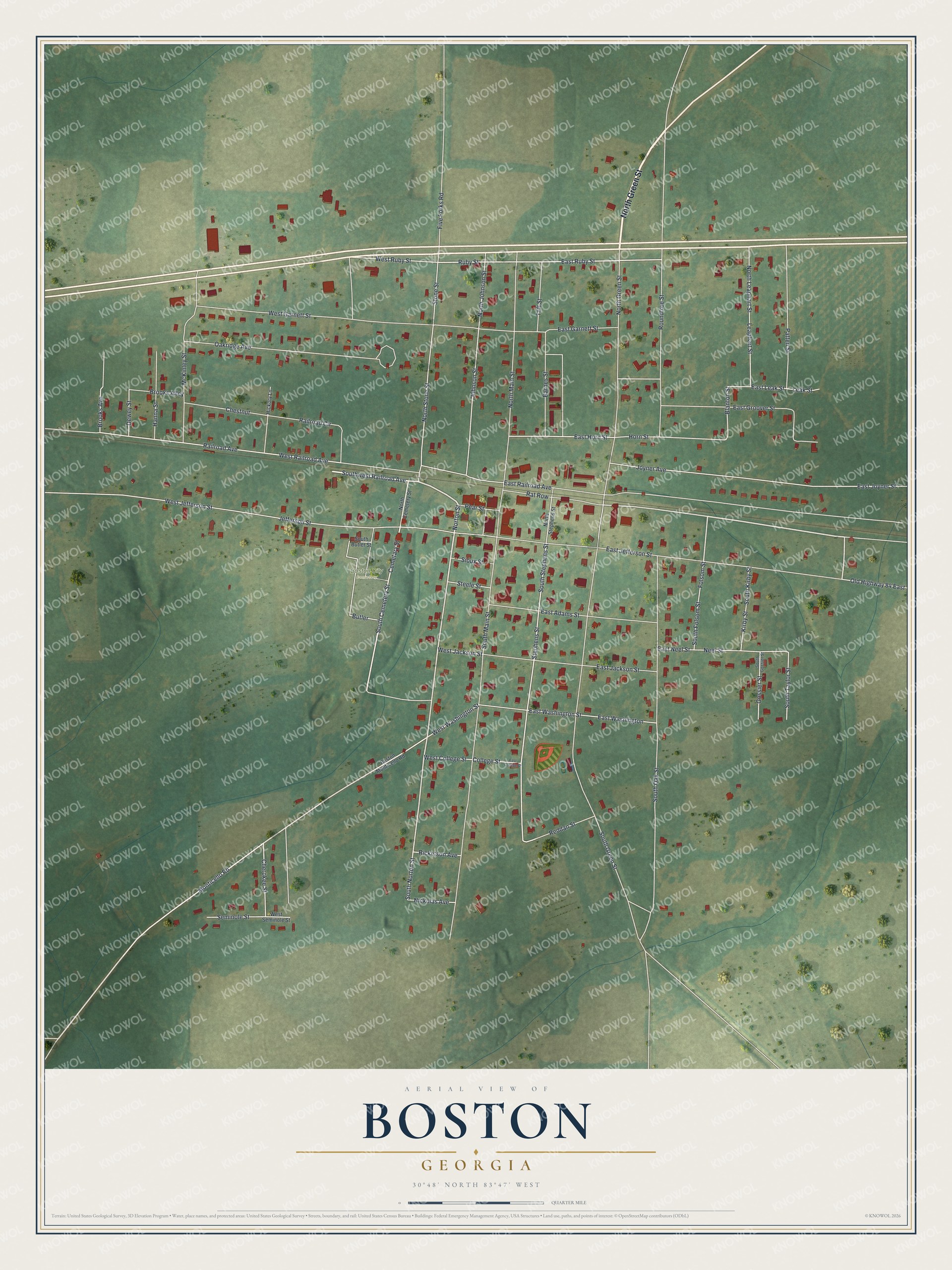
This beautifully detailed map of Boston, Georgia was created in 2026 using aerial imagery combined with modern topographical, census, street and landmark data. It’s a one-of-a-kind view of Boston that combines accurate data with a vintage aesthetic. The map shows every building in its true location, many of the roads carry their names, and the shaded topographic relief shows the shape of the land.
Explore an aerial view of Boston, Georgia
On the map you’ll find Boston City Cemetery, along with Green Street, Railroad Avenue, Norton Street, Cemetary Street, Cemetery Street, and more. If you look closely you can even find your house accurately drawn in its correct location. Zoom in on the preview to look for yours.
Did You Know?
This Thomas County town was first known as Blue Springs. It was later renamed for Thomas M. Boston, a man who discovered a healing spring close to where the town grew. The Georgia General Assembly incorporated the town in 1870.
Take a closer look at the Boston map
Names on this map
These names are printed on this map.
Places: Boston City Cemetery.
Streets and roads: North Green Street, West Railroad Avenue, Norton Street, Southwest Railroad Avenue, South Norton Street, Cemetary Street, South Cemetery Street, West Washington Street, Monticello Road, East Ruby Street, Ruby Street, West Ruby Street.
More street names, A to Z
Barnes Street, Blanton Street, Boston Monticello Road, Brooks Alley, Brooks Avenue, Butler, Cherokee Street, Chestnut, College Street, Dewey Street, East Adams Street, East College Street, East Garnett Street, East Groover Street, East Horn Street, East Jackson Street, East Jefferson Street, East Joyner Street, East Leak Street, East Neel Street, East Railroad Avenue, East Washington, East Washington Street, Five Forks Road, Folsom Street, Gossier Street, Hanna Street, Hickory Lane, Horn Street, Jefferson Street, Johnson Street, Joyner Avenue, Kirby Street, Leak Street, Leaphart Street, McKinley Street, Neel Street, Nickolas Avenue, North Cemetery Street, North Johnson Street, North Leaphart Street, North Main Street, North Stephens Street, North Stone Street, Oakridge Avenue, Old Highway 84 East, Patten Street, Pear Street, Railroad Avenue, Railroad Circle, Rat Row, Reddan Street, Ricketson Avenue, Roundtree Street, Seminole Street, Sioux Street, South Butler Street, South Folsom Street, South Gossier Street, South Green Street, South Kirby Street, South Main Street, South Oak Street, South Stephens Street, South Taylor Street, Steele Street, Stephens Street, Stone Street, Taft Street, West College Street, West Garnett Street, West Jackson Street, West Jefferson Street, West Seminole Street.
See it on a wall
The Boston map as a framed print. Swipe for more.


This beautifully detailed map of Boston makes an attractive addition to your office, library, or den, and it can even be used to teach children the geography and history of the area. It also makes a great gift for anyone with Boston roots. When you’re done exploring, click here to get your copy of the Boston map.