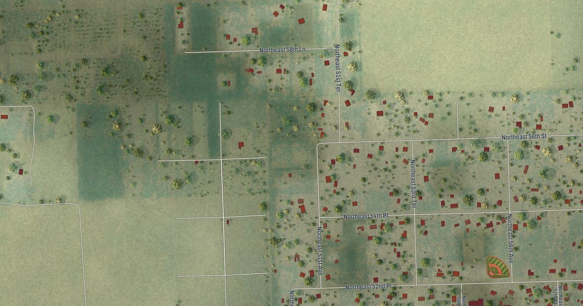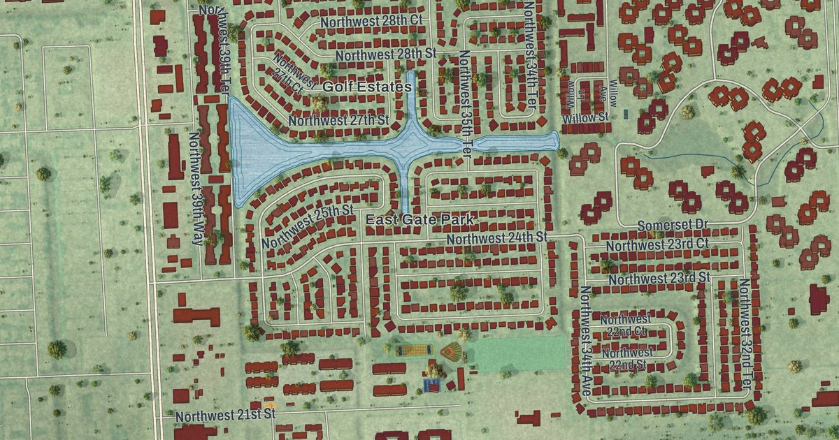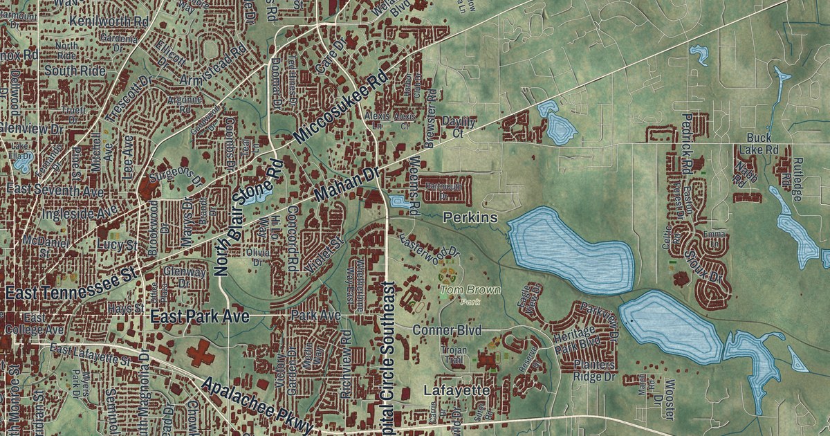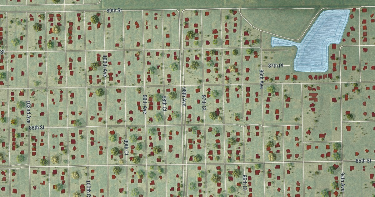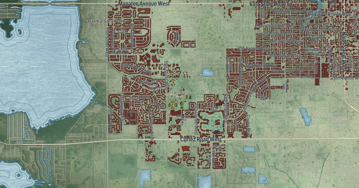
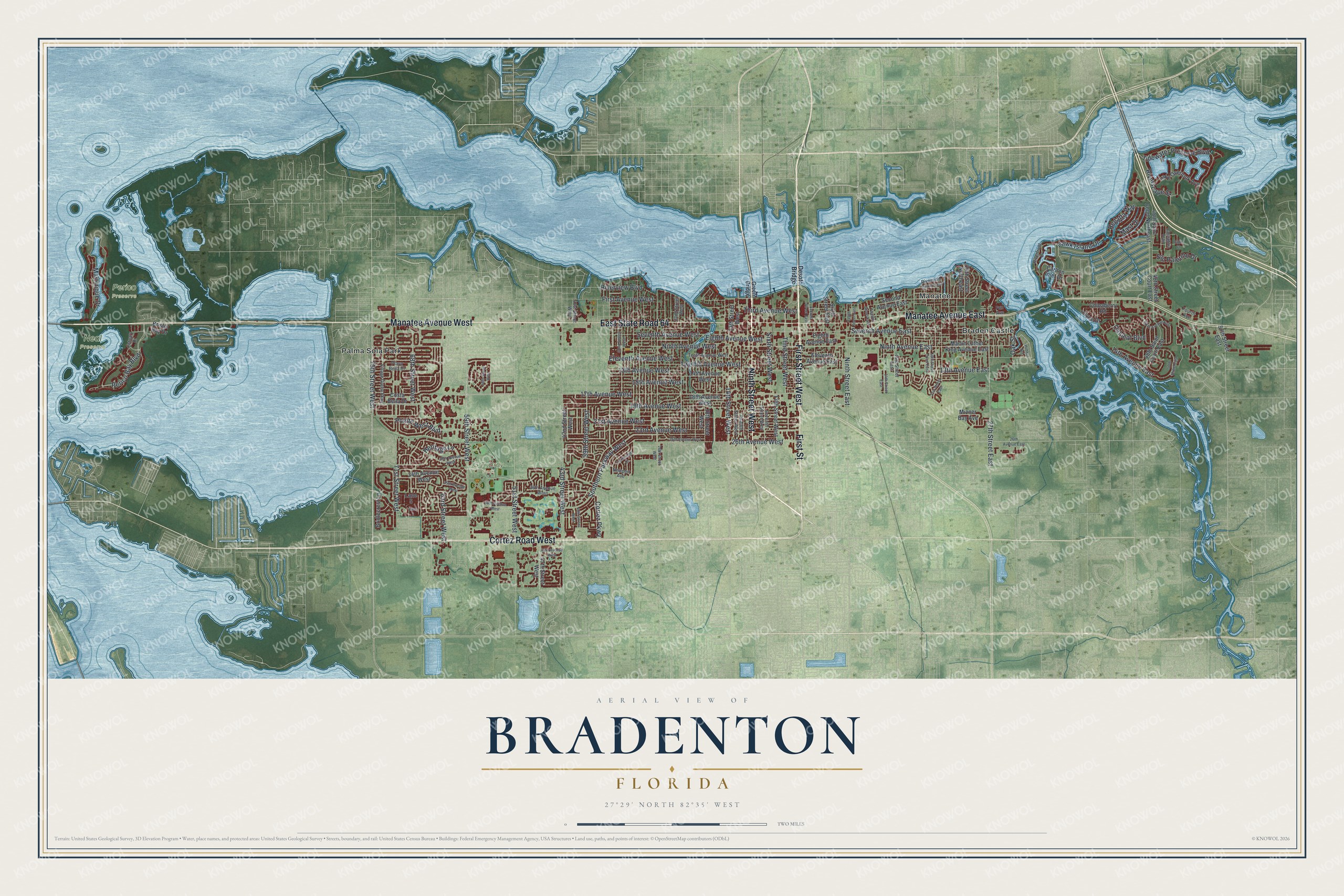
This beautifully detailed map of Bradenton, Florida was created in 2026 using aerial imagery combined with modern topographical, census, street and landmark data. It’s a one-of-a-kind view of Bradenton that combines accurate data with a vintage aesthetic. The map shows every building in its true location, many of the roads carry their names, and the shaded topographic relief shows the shape of the land.
Explore an aerial view of Bradenton, Florida
On the map you’ll find Neal Preserve, Perico Preserve, Braden Castle, Manatee, Palma Sola Park, and East State Road 64, along with Ninth Street West, First Street, Cortez Road West, Manatee Avenue West, Manatee Avenue East, First Street West, and more. If you look closely you can even find your house accurately drawn in its correct location. Zoom in on the preview to look for yours.
Did You Know?
Bradenton is named for Dr. Joseph Braden, a planter from Virginia. He came to Manatee County in 1843 to start over after the Panic of 1837. He built a pier to ship sugar and a stockade home called Fort Braden. A spelling error on the 1878 post office application made the town Braidentown.
Take a closer look at the Bradenton map
Names on this map
These names are printed on this map.
Places: G.T. Bray Park, Neal Preserve, Perico Preserve, Braden Castle, Manatee and Palma Sola Park.
Streets and roads: Ninth Street West, First Street, Cortez Road West, Manatee Avenue West, East State Road 64, Manatee Avenue East, First Street West, 75th Street West, 59th Street West, 17th Avenue West, Ninth Avenue West, 21st Avenue West.
More street names, A to Z
13th Avenue East, 13th Avenue West, 13th Street West, 14th Avenue East, 14th Avenue West, 14th Street East, 14th Street West, 15th Avenue West, 15th Street East, 18th Avenue West, 18th Street West, 19th Avenue West, 19th Street Court East, 21st Street East, 22nd Street West, 23rd Avenue West, 24th Street Northeast, 25th Avenue West, 26th Avenue East, 26th Avenue West, 26th Street West, 27th Street East, 29th Avenue West, 32nd Street West, 34th Avenue West, 35th Avenue West, 36th Avenue West, 38th Avenue West, 39th Street West, 40th Street West, 41st Street West, 42nd Street West, 43rd Street West, 45th Avenue West, 47th Street West, 48th Saint Court East, 48th Saint Court Northeast, 48th Street Court East, 50th Street East, 51st Street West, 56th Street West, 57th Street East, 63rd Street West, 68th Street West, 71st Street West, Bridlecrest Lane, Bristol Bay Drive, Cabo Court, Cambridge Drive, Cantabria Trail, Carlton Inlet Drive, Chinaberry Road, Cortez Parkway, Costa Bella Drive, Desoto Bridge, Eighth Avenue East, Eighth Avenue West, Eleventh Avenue East, Eleventh Avenue West, Estuary Drive, Fifth Street West, First Avenue West, Fourth Avenue, Fun Avenue, Green Bridge, Hawk Island Drive, Heritage Lane, Hubbel Road, Joyce Drive, Lake Overlook Avenue, Lane 1, Lane 5, Martinique Drive, Martin Luther King Avenue East, Mast Drive, Mizner Bay Avenue, Newport Avenue, Ninth Avenue East, Ninth Street East, Oakleaf Boulevard, Oak Street, Perico Bay Boulevard, Playa Bella Drive, Pointe West Boulevard, Regatta Way, Riverfront Drive, Riverscape Street, Riverside Drive East, Riverview Boulevard, San Palermo Drive, Second Avenue East, Second Street East, Seventh Avenue East, Seventh Avenue West, Seventh Street West, Sixth Avenue East, Sixth Street East, Sixth Street West, Southern Parkway West, Tenth Avenue West, Tenth Street East, Third Avenue West, Third Street West, Tidewater Preserve Boulevard, Twelfth Avenue West, Twelfth Street East, Twelfth Street West, Village Green Parkway.
See it on a wall
The Bradenton map as a framed print. Swipe for more.


This beautifully detailed map of Bradenton makes an attractive addition to your office, library, or den, and it can even be used to teach children the geography and history of the area. It also makes a great gift for someone who left Bradenton and still calls it home. When you’re done exploring, click here to get your copy of the Bradenton map.