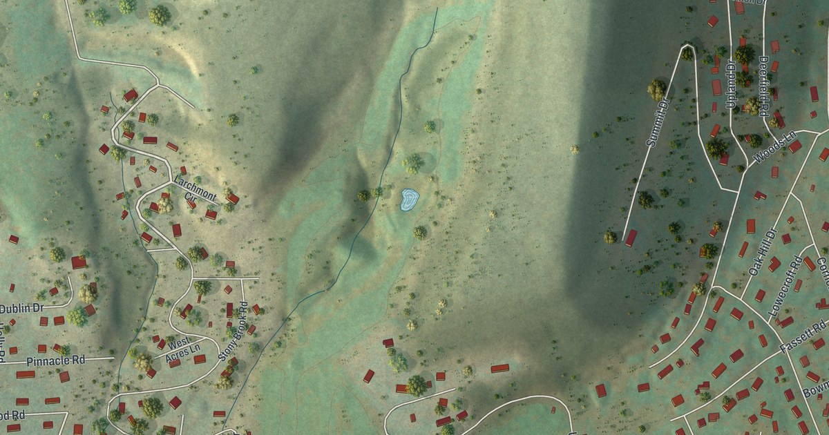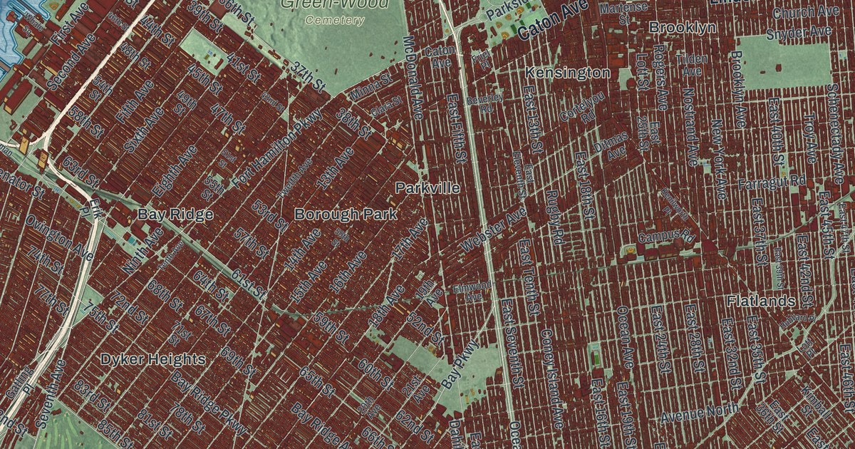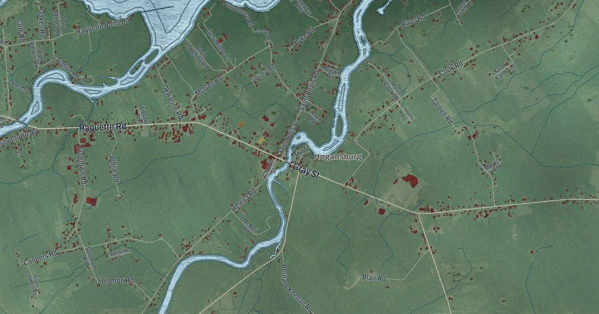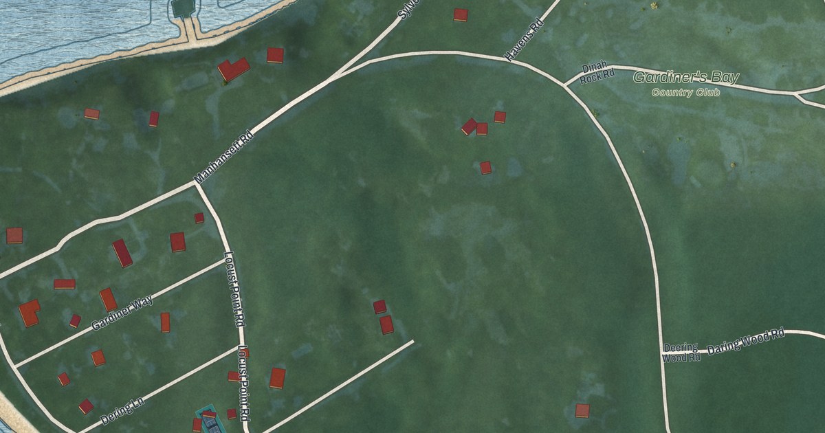
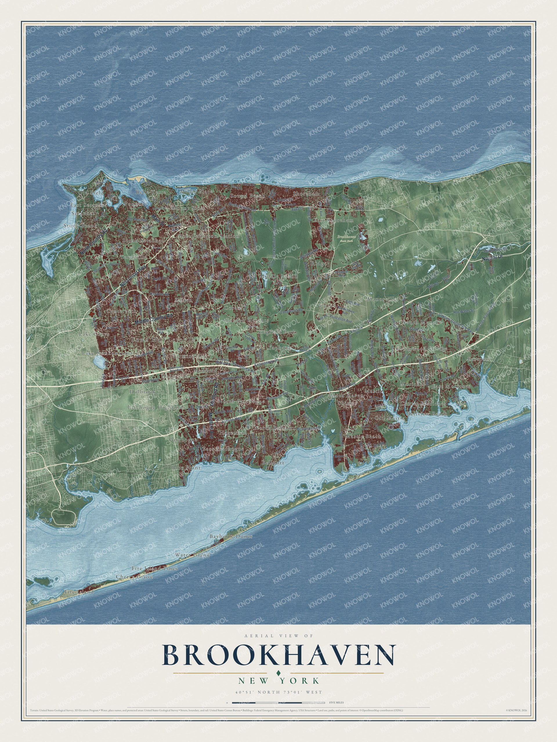
This beautifully detailed map of Brookhaven, New York was created in 2026 using aerial imagery combined with modern topographical, census, street and landmark data. It’s a one-of-a-kind view of Brookhaven that combines accurate data with a vintage aesthetic. The map shows every building in its true location, many of the roads carry their names, and the shaded topographic relief shows the shape of the land.
Explore an aerial view of Brookhaven, New York
On the map you’ll find Bayberry Dunes, Belle Terre, Bellport, Bellview Beach, and Blue Point, along with Middle Country Road, Nesconset Highway, Medford Avenue, Nugent Drive, Medford Road, and more. If you look closely you can even find your house accurately drawn in its correct location. Zoom in on the preview to look for yours.
Did You Know?
English settlers arrived around 1640. On April 14, 1655, several of them bought the land from its tribal owners in the first deed of settlement at Setauket. That made Brookhaven the fifth English township on Long Island. The first settlement took the name Setauket from a local tribe.
Take a closer look at the Brookhaven map
Names on this map
These names are printed on this map.
Places: Town Hall Level 12, Brookhaven State Park, Fire Island, Bayberry Dunes, Bellview Beach, Belle Terre, Bellport, Eastport, Stony Brook, Middle Island, Lake Ronkonkoma, Fire Island Pines, South Haven, Sound Beach, Blue Point, South Manor, Gordon Heights, Patchogue Highlands, Old Field, Terryville, East Moriches, Ridge, Centereach, Water Island, North Bellport, Holtsville, Shoreham, Mastic Beach, Mastic, Port Jefferson Station, Yaphank, Manorville, Upton, Setauket, Medford, Holbrook, Selden, Mount Sinai, Cherry Grove, Old Mastic, Lake Grove, Poquott, Greenwood Village, Shirley, Farmingville, South Setauket, Moriches, Hagerman, Center Moriches, Miller Place, East Patchogue, Coram, North Patchogue, East Shoreham, East Setauket, Patchogue and Siegfield Park.
Streets and roads: Middle Country Road, Nesconset Highway, North Country Road, Medford Avenue, Nugent Drive, Medford Road, Main Street, William Floyd Parkway, Nicolls Road, Sunrise Highway, Montauk Highway, Patchogue-Mt Sinai Road.
More street names, A to Z
2 Street, 4 Avenue, Abbey Lane, Adirondack Drive, Alder Lane, Artist Drive, Atlantic Avenue, Avondale Drive, Barker Drive, Barnes Road, Bartlett Road, Barton Avenue, Bauer Avenue, Bay Avenue, Bayview Avenue, Beaverdam Road, Bell Avenue, Bell Circle, Bellhaven Road, Bellmore Avenue, Bellport Avenue, Bernstein Boulevard, Bicycle Path, Birchwood Park Drive, Birchwood Road, Blair Drive, Blue Point Road, Boxwood Drive, Boylan Lane, Boyle Road, Brookhaven Avenue, Buffalo Avenue, Bypass, Canal Road, Captain Daniel Roe Highway, Carol Avenue, Casey Lane, Cedar Avenue, Center Street, Chapman Boulevard, Charter Road, Chateau Drive, Christian Avenue, Church Lane, Circle Road, Circuit Road, Clancy Road, Clark Street, Cliff Road, Colin Drive, College Road, Connecticut Avenue, Coram - Yaphank, Corey Avenue, Corporate Drive, Country Road, Craft Road, Crane Neck Road, Currans Road, Daisy Drive, Dare Road, Dawn Drive, Day Street, Dayton Avenue, Deer Lane, Diana Road, Duncan Avenue, Dune Walk, Dyke Road, Eason Drive, East Chapman Boulevard, East Main Street, Eastwood Boulevard, Echo Avenue, Eleanor Avenue, Elizabeth Way, Elm Road, Erin Lane, Express Drive, Expressway Drive, Expressway Drive North, Farm To Market Road, Fawn Lane, Fifth Avenue, Fire Road, First Avenue, Fisk Road, Fox Lane, Fox Road, Frowein Road, Fulton Avenue, Gazzola Drive, Gerard Road, Granny Road, Gray Avenue, Green Avenue, Griffin Drive, Grove Avenue, Grove Street, Grucci Lane, Gull Dip Road, Haig Avenue, Hallock Avenue, Hallock Road, Halsey Manor Road, Hammond Road, Hawkins Avenue, Hawkins Road, Helme Avenue, Hill Rise, Hills Lane, Hill Street, Hilltop Drive, Holbrook Road, Holiday Park Drive, Horseblock Road, Hospital Road, Hot Water Street, Hounslow Road, Howard Street, Hunter Avenue, Hy Place, Inlet View Path, Jamaica Avenue, Jayne Boulevard, Jeff Street, Jennings Avenue, Jerusalem Hollow Road, Jones Road, Kettles Lane, Lake Shore Road, Lakeside Trail, Lake Street, Lidge Drive, Lilco Road, Lily Drive, Lincoln Avenue, Locust Avenue, Locust Drive, Long Hill Road, Long Island Avenue, Long Road, Longwood Road, Lynbrook Drive, Magnet Street, Main Avenue, Manor Drive, Manor Road, Manorville Road, Maple Road, Maple Street, Martha Avenue, Mastic Road, Middle Island Boulevard, Miller Avenue, Miller Place Road, Mill Road, Monroe Street, Mooney Pond Road, Moriches-Riverhead Road, Moriches Middle Island Road, Moriches Road, Morris Avenue, Mott Lane, Mount Sinai Avenue, Mount Sinai Coram Road, Mud Road, Munsell Road, Nadine Lane, National Boulevard, Natures Lane, Noahs Path, North Bicycle Path, North Dunton Avenue, North Ocean Avenue, North Road, North Street, North Titmus Drive, Oakland Avenue, Oak Street, Oakwood Road, Ohls Street, Old Dock Road, Old Field Road, Old Post Road, Old Stump Road, Old Town Road, Olive Street, Oneida Avenue, Orchard Road, Orchid Drive, Oxhead Road, Paige Lane, Park Avenue, Parkside Avenue, Park Street, Path Drive, Pauls Path, Penn Street, Picasso Way, Pine Edge Drive, Pine Hill Road, Pine Road, Pine Street, Poet Lane, Pond Path, Pond Road, Pondway, Portion Road, Prince Street, Princeton Avenue, Quaker Path, Railroad Avenue, Ramsey Road, Randall Road, Ridge Road, River Avenue, River Road, Riviera Drive, Robert Street, Rocky Point Road, Rocky Point Yaphank Road, Roe Avenue, Rose Lane, Royal Way, Ruland Road, Rush Street, Rustic Road, Ryerson Avenue, Sally Lane, Samantha Drive, School Street, Seacliff Avenue, Senix Avenue, Sequoia Drive, Sheep Pasture Road, Shore Drive, Shore Road, Silas Carter Road, Sills Road, Sipp Avenue, Smith Avenue, Smith Lane, Smith Road, Soundview Drive, Southaven Avenue, South Country Road, South Drive, South River Road, South Street, Spar Drive, Stacy Drive, Starr Boulevard, Station Road, Stony Brook Road, Swezey Lane, Swezey Street, Sycamore Circle, Sylvan Avenue, Tarkhill Trail, Taylor Avenue, Tenth Avenue, Thompson Street, Toppings Path, Tree Road, Union Avenue, Upton Road, Valentine Road, Victory Avenue, Village Drive, Virginia Avenue, Wading River Hollow Road, Wading River Road, Walnut Street, Wards Lane, Warren Avenue, Washburn Street, Waverly Avenue, Webb Avenue, Weeks Avenue, Wellsley Lane, West Bartlett Road, Westfield Road, Westminster Avenue, Whiskey Road, Winters Drive, Woodland Road, Woodlot Road, Wood Road, Woodside Avenue, Yale Road, Yaphank Avenue, Yaphank Middle Island Road, Yaphank Road, Zophar Mills Road.
See it on a wall
The Brookhaven map as a framed print. Swipe for more.


This beautifully detailed map of Brookhaven makes an attractive addition to your office, library, or den, and it can even be used to teach children the geography and history of the area. It also makes a great gift for anyone who grew up in Brookhaven or moved away. When you’re done exploring, click here to get your copy of the Brookhaven map.