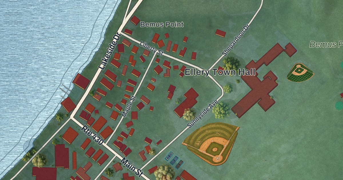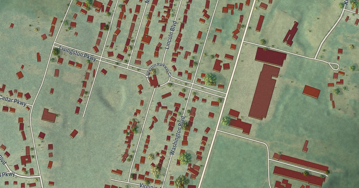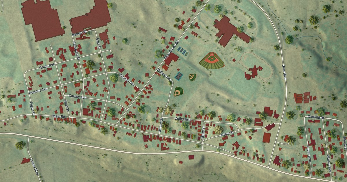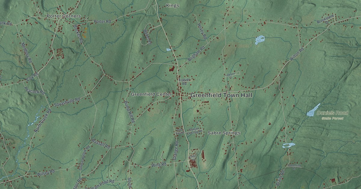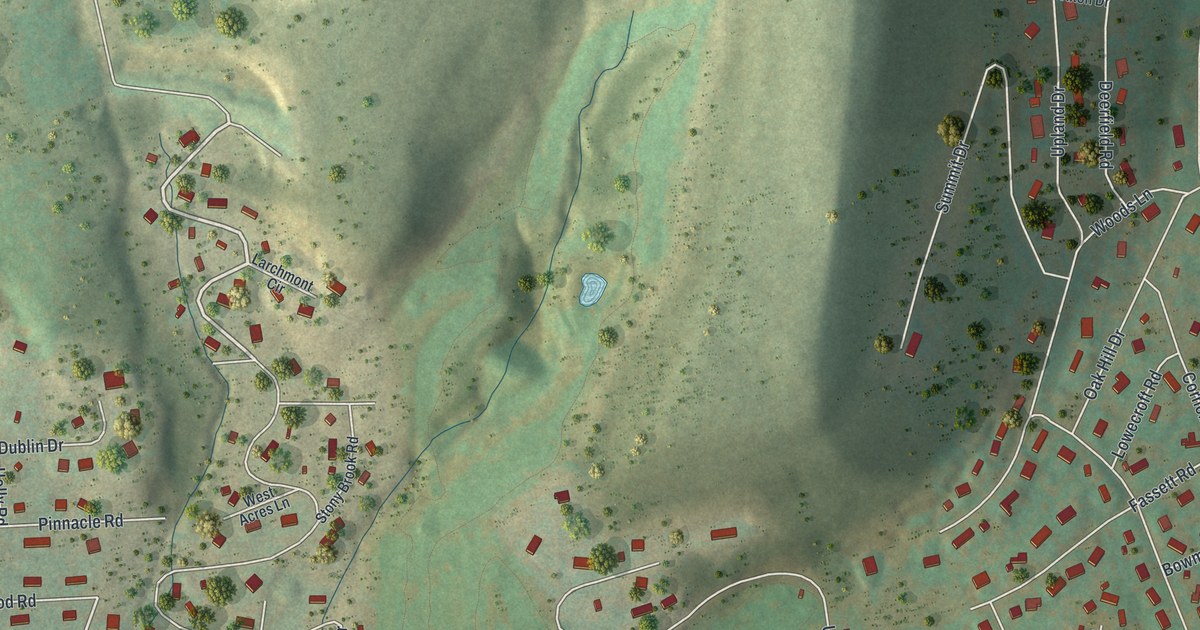
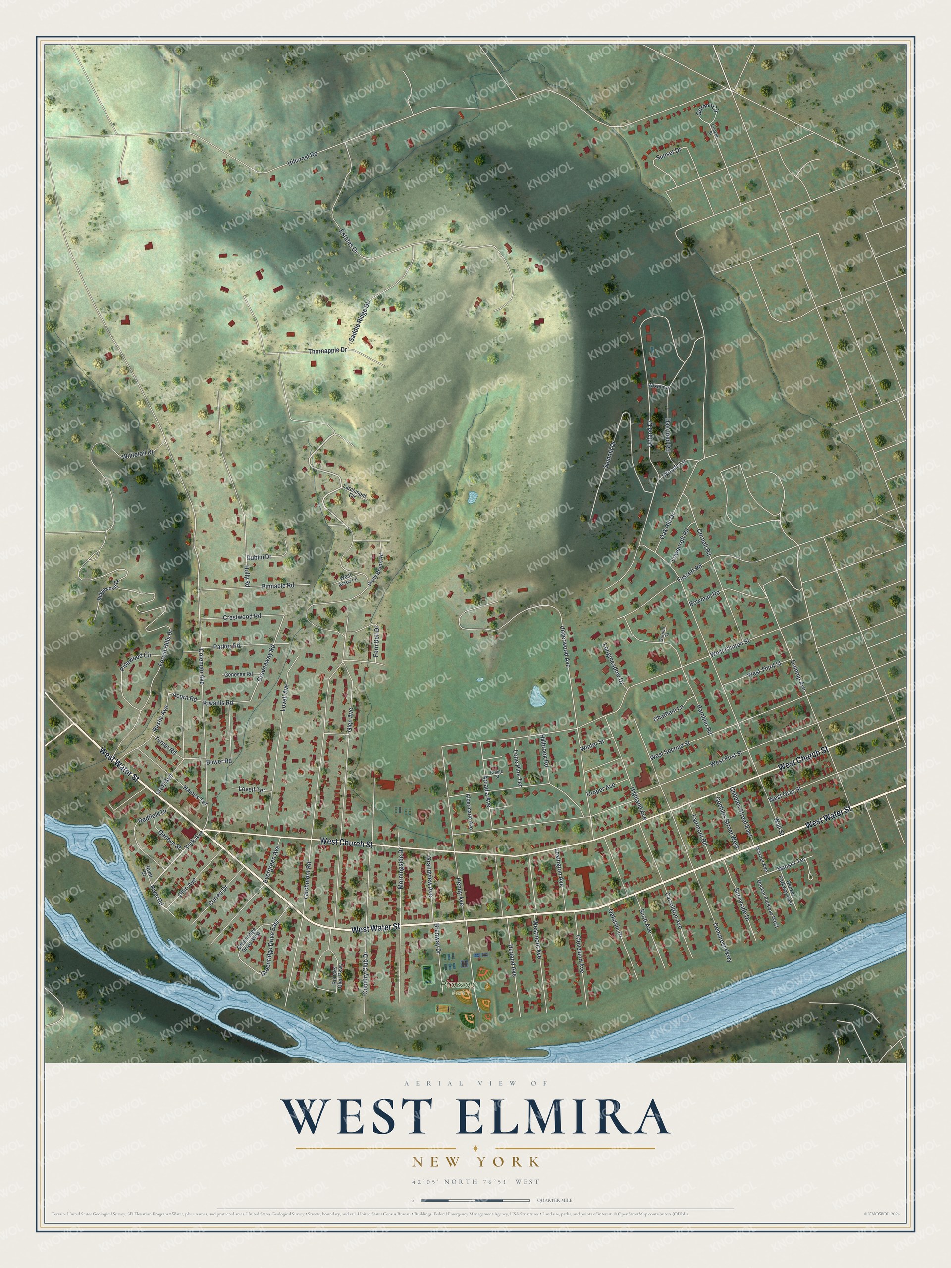
This beautifully detailed map of West Elmira, New York was created in 2026 using aerial imagery combined with modern topographical, census, street and landmark data. It's a modern aerial view of West Elmira in Chemung County, New York, that combines modern data with a vintage aesthetic. The roads feature printed names, and if you look closely you can find your exact house accurately shown in its correct location.
Explore an aerial view of West Elmira, New York
On this map you'll find Pirozzolo Park, West Water Street, West Church Street, Larchmont Road, York Avenue, River Road, Winsor Terrace, Greenaway Road, Hillcrest Road, Coleman Avenue, Underwood Avenue, West First Street, and more. Each red shape is a building, so zoom in on the preview and look for yours.
West Elmira is a community in Chemung County. The Census Bureau counted 4,850 people here in 2020. West Elmira sits about 2 miles northwest of Southport, 3 miles south of Elmira Heights and 6 miles south of Horseheads. The map prints the town name in its title panel, with the coordinates below it.
Take a closer look at the West Elmira map
Names on this map
These names are printed on this map.
Places: Pirozzolo Park.
Streets and roads: West Water Street, West Church Street, Larchmont Road, York Avenue, River Road, Winsor Terrace, Greenaway Road, Hillcrest Road, Coleman Avenue, Underwood Avenue, West First Street, West Clinton Street.
More street names, A to Z
Acorn Road, Albermarle Avenue, Arcadia Avenue, Bower Road, Bowman Road, Brenway Drive, Carrollton Avenue, Chatham Lane, Cleveland Avenue, Cobbles Street East, Cobbles Street West, Conklin Street, Cornell Road, Country Club Drive, Craige Street, Crestwood Road, Curren Drive, Decker Parkway East, Decker Parkway West, Deerfield Road, Demarest Parkway, Draper Avenue, Dublin Drive, Durland Avenue, Estates Drive, Evergreen Avenue, Fairmont Road, Fassett Road, Fern Dell Drive, Forest Hills Drive, Genesee Road, Geneva Street, Glen Avenue, Gordon Circle, Grandview Avenue, Graylea Circle, Greenridge Drive East, Greenridge Drive West, Groff Avenue, Guinnip Avenue, Haines Terrace, Hendy Avenue, Highland Avenue, Hillbrook Road, Holly Road, Kiwanis Road, Larchmont Circle, Lexington Avenue, Lone Pine Terrace, Longmeadow Drive, Lovell Avenue, Lovell Terrace, Lowecroft Road, Morningside Drive, Oakdale Drive, Oak Hill Drive, Ohio Avenue, Parker Road, Pinewood Circle, Pinnacle Road, Rambler Road, Redfield Drive, Ridgewood Drive, River Drive, Roricks Glen Parkway, Rustic Avenue, Saddle Ridge Drive, Scott Avenue, Stony Brook Road, Summit Drive, Sunnyside Drive, Sunset Drive, Thornapple Drive, Turner Road, Upland Drive, Wall Street, Warner Avenue, West Acres Lane, West Gray Street, Westmont Avenue, West Second Street, West Third Street, Whitetail Drive, Winter Street, Wixon Drive, Woods Lane.
See it on a wall
The West Elmira map as a framed print. Swipe for more.


Created by KNOWOL in 2026. The buildings are small red shapes, the roads carry their printed names, and shaded relief shows the shape of the land. The title panel reads "AERIAL VIEW OF WEST ELMIRA, NEW YORK" with 42°05' NORTH 76°51' WEST.
It suits a den, a classroom or a front hall, and it makes a gift for anyone with West Elmira roots. Open the preview and find the block you know. See sizes and frames for the West Elmira map.