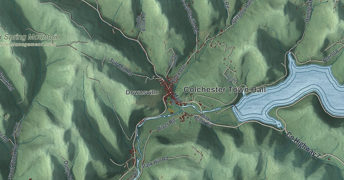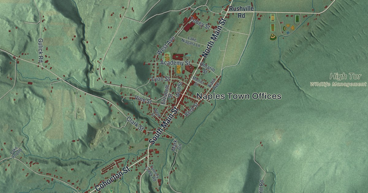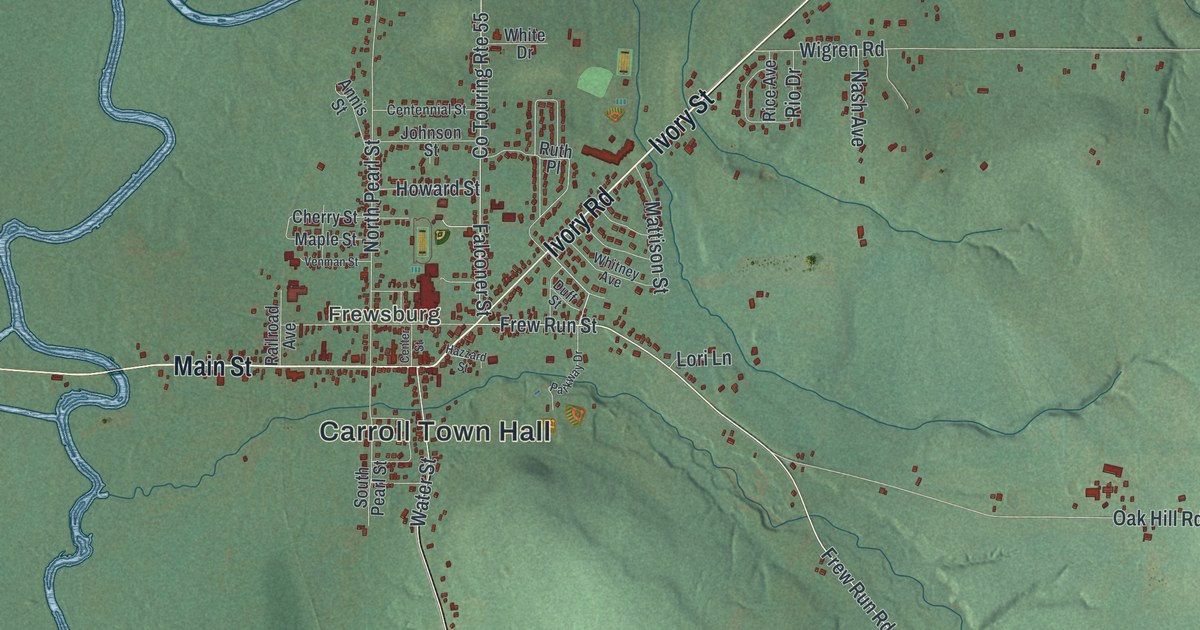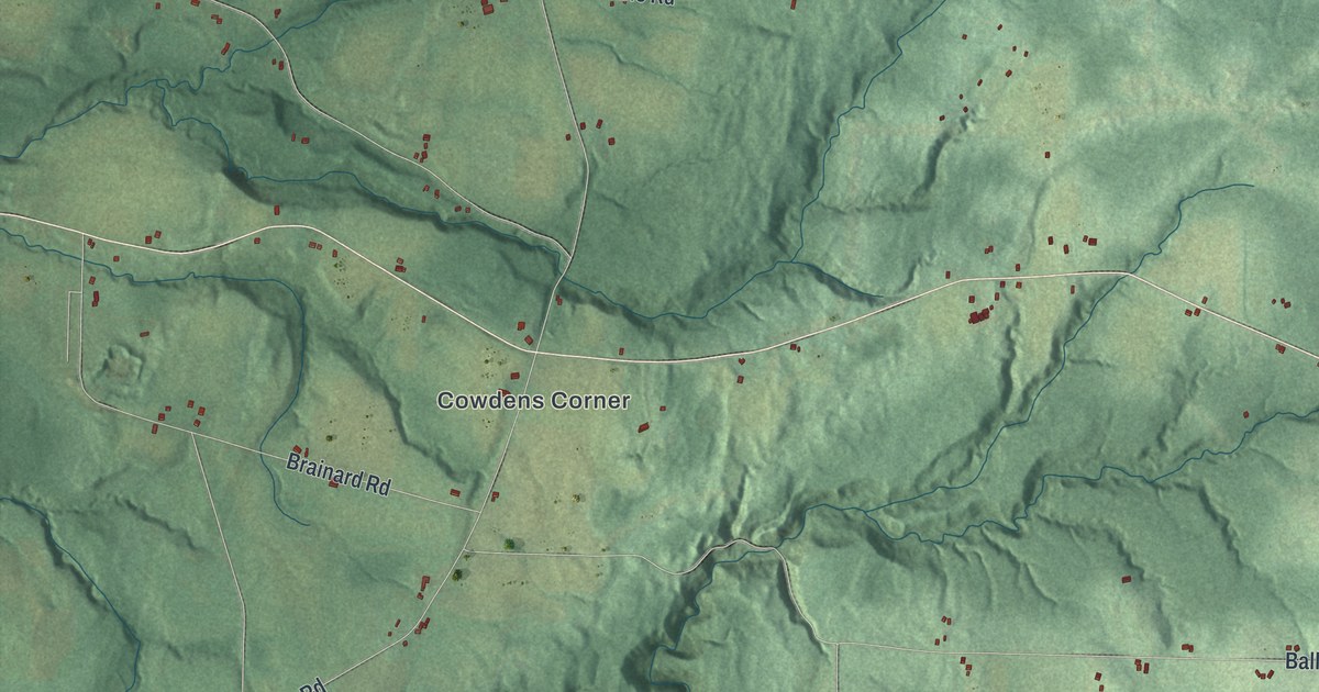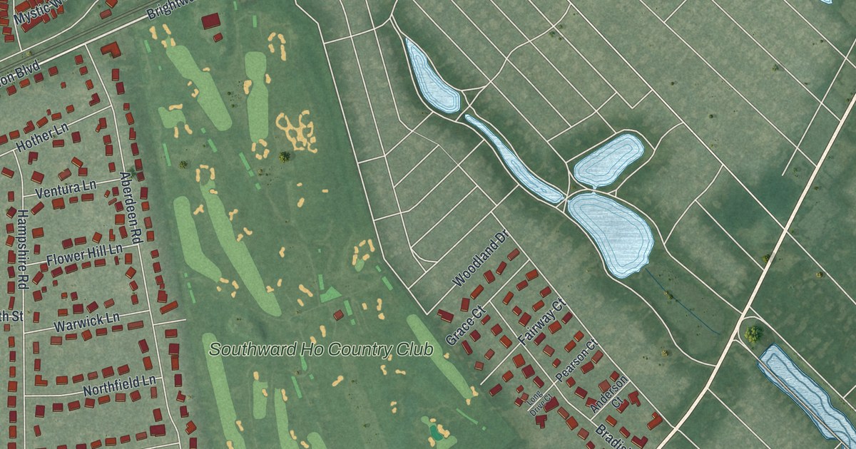
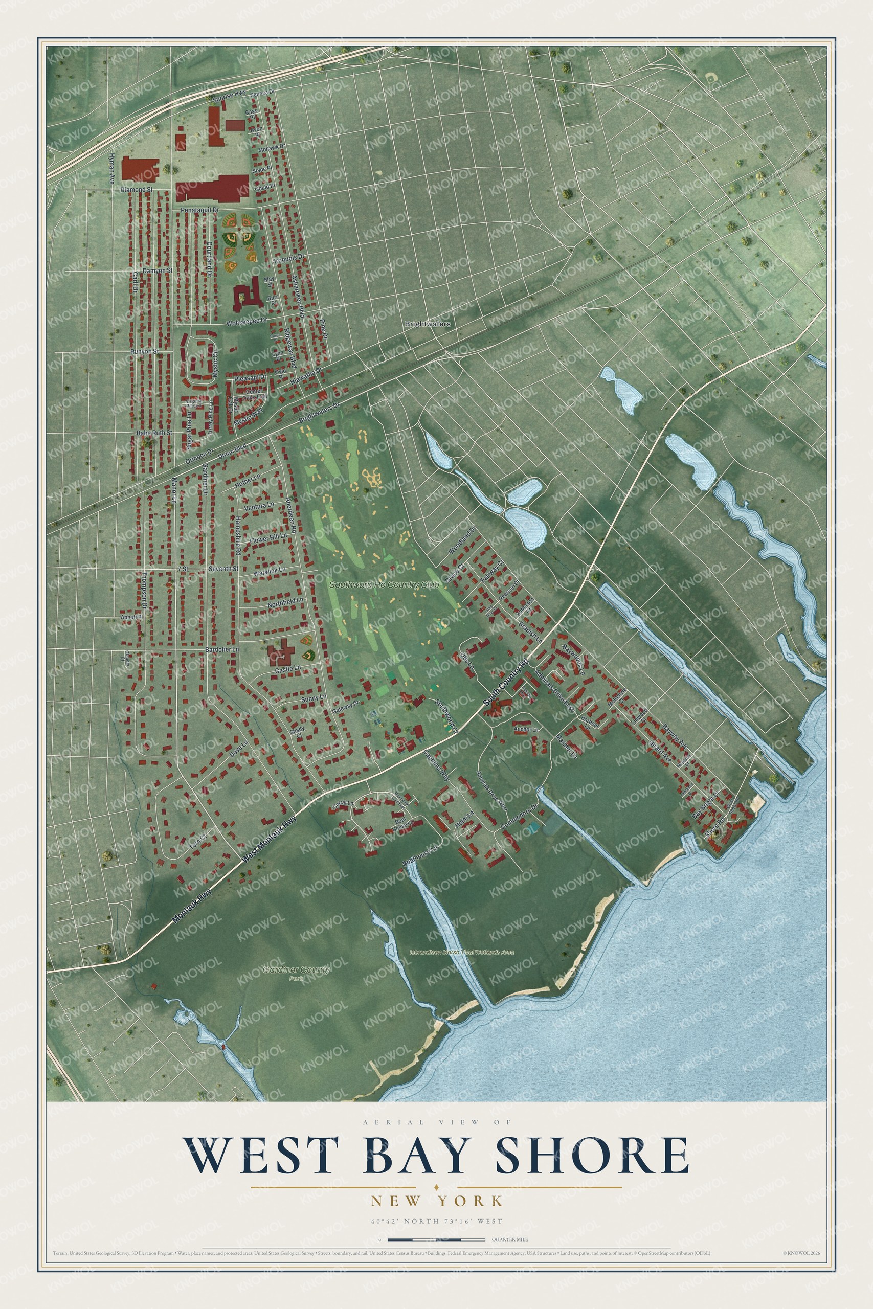
This beautifully detailed map of West Bay Shore, New York was created in 2026 using aerial imagery combined with modern topographical, census, street and landmark data. It's a modern aerial view of West Bay Shore in Suffolk County, New York, that combines modern data with a vintage aesthetic. The roads feature printed names, and if you look closely you can find your exact house accurately shown in its correct location.
Explore an aerial view of West Bay Shore, New York
On this map you'll find Gardiner County Park, Isbrandtsen Marsh Tidal Wetlands Area, Brightwaters, Southward Ho Country Club, Montauk Highway, West Montauk Highway, South Country Road, Manor Lane, Brightwaters Drive, Helm Lane, Thompson Drive, Gardiner Drive, and more. Each red shape is a building, so zoom in on the preview and look for yours.
West Bay Shore is a community in Suffolk County. The Census Bureau counted 4,625 people here in 2020. West Bay Shore sits about 2 miles east of West Islip, 3 miles southwest of Islip and 3 miles east of Babylon. The map prints the town name in its title panel, with the coordinates below it.
Take a closer look at the West Bay Shore map
Names on this map
These names are printed on this map.
Places: Gardiner County Park, Isbrandtsen Marsh Tidal Wetlands Area, Brightwaters and Southward Ho Country Club.
Streets and roads: Montauk Highway, West Montauk Highway, South Country Road, Manor Lane, Brightwaters Drive, Helm Lane, Thompson Drive, Gardiner Drive, Bayway Avenue, Aberdeen Road, Hampshire Road, Asharoken Boulevard.
More street names, A to Z
7 Street, Abbott Place, Admirals Drive East, Admirals Drive West, Anchor Lane, Anderson Court, Avon Place, Babe Ruth Street, Bardolier Lane, Bay Bright Court, Baywoods Lane, Boathouse Lane, Boat House Lane, Boathouse Lane East, Bradish Lane, Burr Place, Captains Way, Carll Drive, Cass Place, Castle Lane, Center Oaks Trail, Commodore Drive, Corral Lane, Courtland Drive, Damyon Street, Daniels Way, Diamond Street, Dove Lane, Fairway Court, Flower Hill Lane, Gateway Drive, Girard Avenue, Gould Place, Grace Court, Harbour Lane, Hiawatha Drive, Hother Lane, Hyman Avenue, Iroquois Drive, Lawrence Court, Linwood Court, Long Drive Court, Lynn Place, Mariner Lane, May Street, McKenzie Court, Mohawk Drive, Mystic Circle, Mystic Oak Drive, Mystic Way, Neptune Court, Northfield Lane, Olander Court, Orinoco Drive, Otis Lane, Ovid Place, Pearson Court, Penataquit Drive, Pine Drive, Pleasant Drive, Ridgeway Boulevard, Rowe Place, Runyon Street, Seneca Drive, Seventh Street, Shady Court, Shore Road, Slade Place, Southwood Court, Sugar Pine Lane, Sunny Lane, Sunrise Highway, Tern Court, Torrey Pine Lane, Union Boulevard, Ventura Lane, Virginia Pine Lane, Warwick Lane, West Shore Road, Wohseepee Drive, Woodland Drive.
See it on a wall
The West Bay Shore map as a framed print. Swipe for more.


Created by KNOWOL in 2026. The buildings are small red shapes, the roads carry their printed names, and shaded relief shows the shape of the land. The title panel reads "AERIAL VIEW OF WEST BAY SHORE, NEW YORK" with 40°42' NORTH 73°16' WEST.
It looks right in a kitchen, an office or a den, and it's a gift for anyone who grew up in West Bay Shore or moved away. Open the preview and find your street. See sizes and frames for the West Bay Shore map.