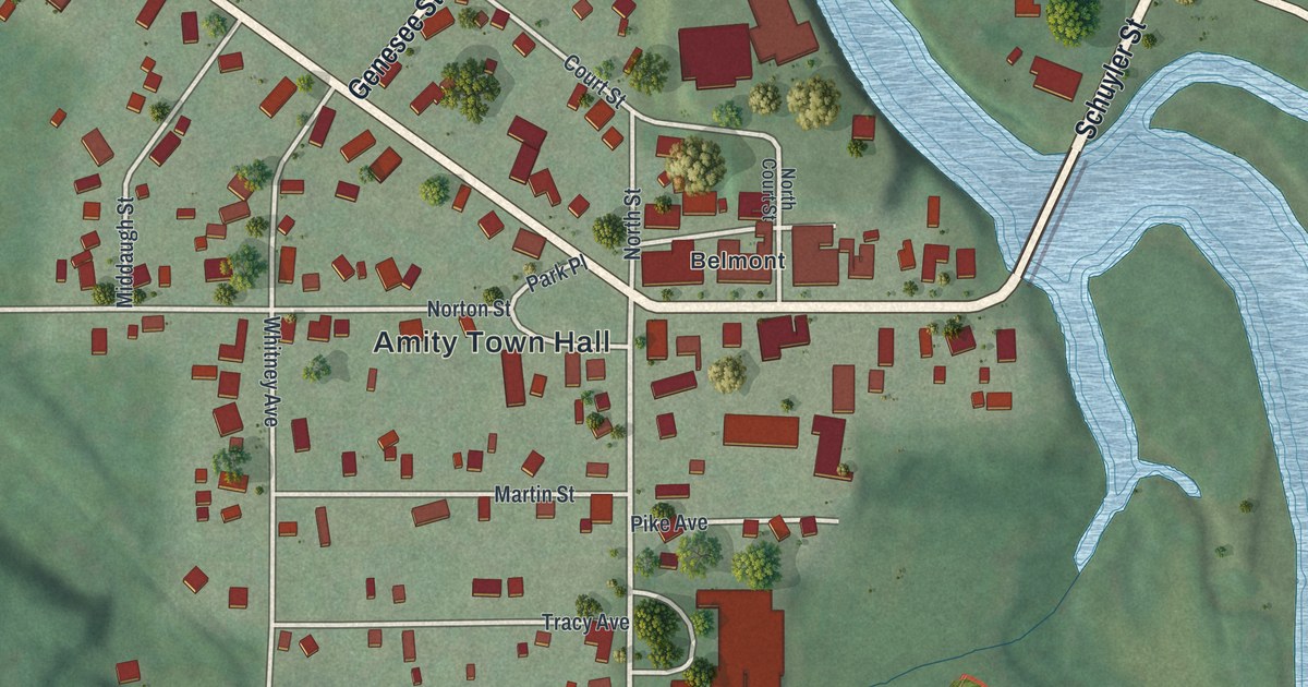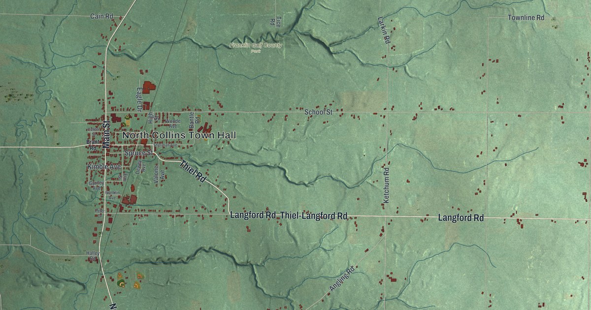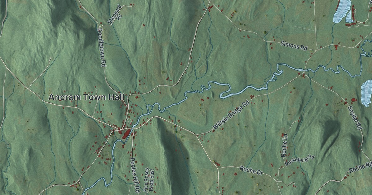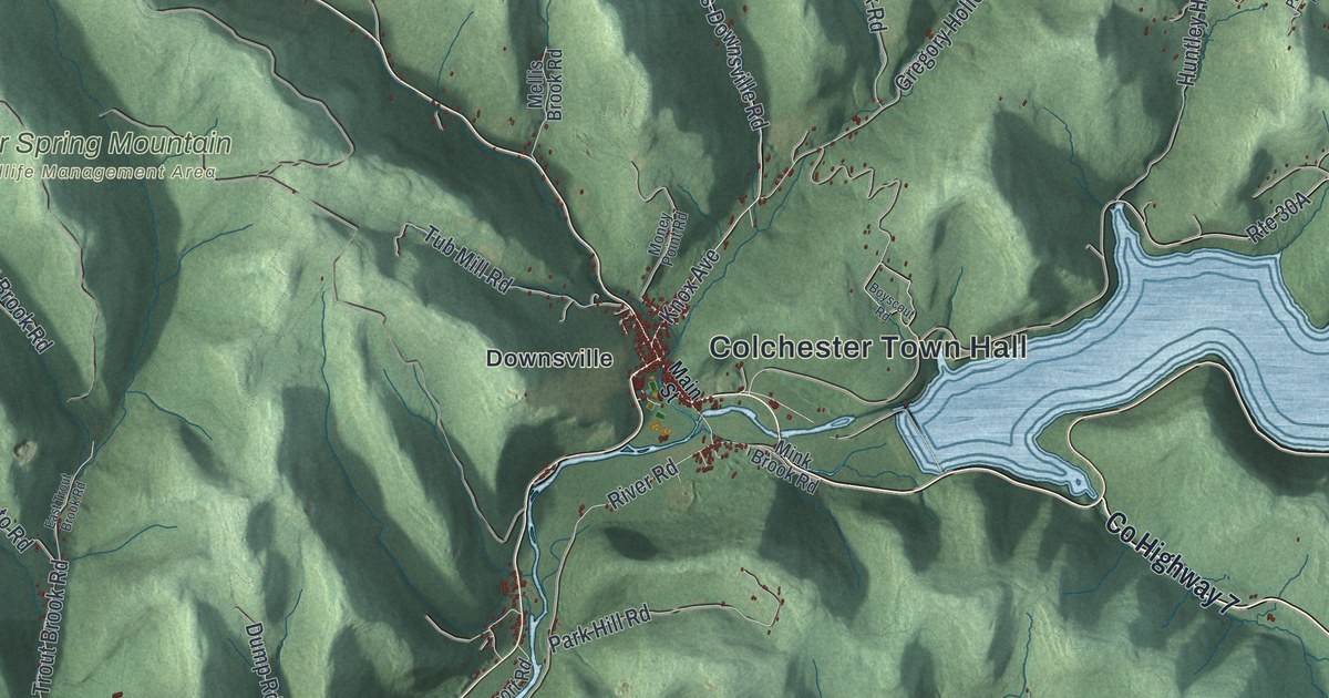
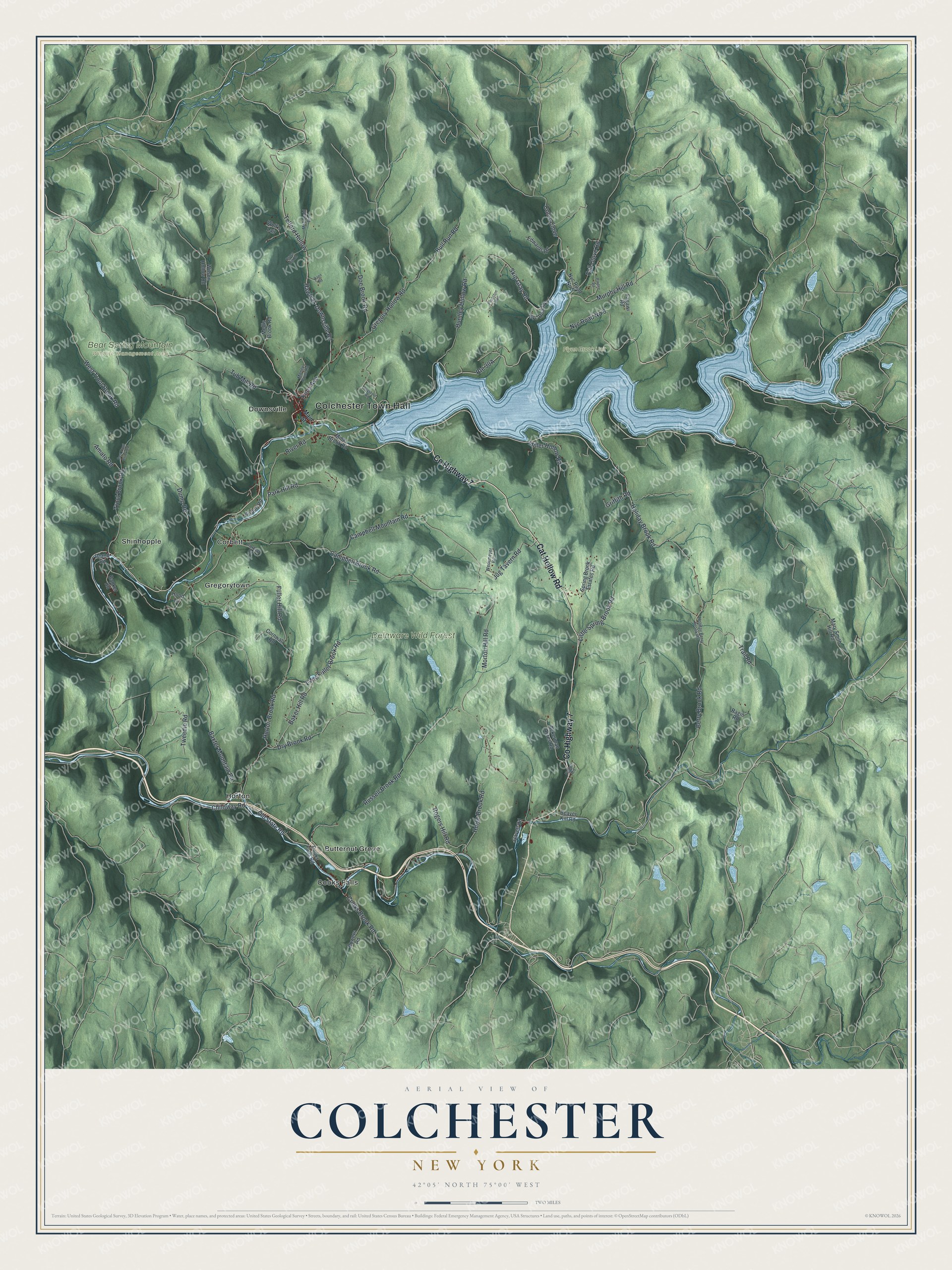
This beautifully detailed map of Colchester, New York was created in 2026 using aerial imagery combined with modern topographical, census, street and landmark data. It’s a one-of-a-kind view of Colchester that combines accurate data with a vintage aesthetic. The map shows every building in its true location, many of the roads carry their names, and the shaded topographic relief shows the shape of the land.
Explore an aerial view of Colchester, New York
On the map you’ll find Colchester Town Hall, Coles Clove, Butternut Grove, Cooks Falls, Corbett, Downsville, Gregorytown, Bear Spring Mountain Wildlife Management Area, and Delaware Wild Forest, along with Cat Hollow Road, Main Street, Knox Avenue, and more. If you look closely you can even find your house accurately drawn in its correct location. Zoom in on the preview to look for yours.
Did You Know?
Downsville, a hamlet and former village in Colchester, is named for Abel Downs, who ran a tannery there. In 1954, workers paid by New York City finished a dam at Downsville on the East Branch of the Delaware River. It created the Pepacton Reservoir, part of the city’s water supply.
Take a closer look at the Colchester map
Names on this map
These names are printed on this map.
Places: Colchester Town Hall, Bear Spring Mountain Wildlife Management Area, Delaware Wild Forest, Flynn Brook Unit, Butternut Grove, Cooks Falls, Corbett, Downsville, Gregorytown, Horton and Shinhopple.
Streets and roads: Cat Hollow Road, County Highway 7, Coles Clove, Knox Avenue, Hawleys-Downsville Road, Telford Hollow, Old State Road, River Road, Morton Hill Road, Campbell Brook Road, Baxter Mountain Road, Berry Brook Road.
More street names, A to Z
Ackerman Acres Road, Airport Road, Amato Road, Baker Hill Road, Banker Road, Beaver Kill Road, Bowers Road, Boyscout Road, Brace Hill Road, Bull Run Road, Campbell Mountain Road, Chiloway Road, Cooks Brook Road, Cooks Falls Road, Corbett Road, Cornwall Road, Dann Road, Doe Brook Road, Dry Brook Road, Dump Road, East Trout Brook Road, Edwards Road, Fagawi Road, Fall Clove Road, Fuller Hill Road, Fulton Road, Gavett Road, Gregory Hollow Road, Griffith Road, Holiday Berry Brook Road, Holiday Brook Road, Hood Lane, Horse Brook Road, Horton Brook Road, Huntley Hollow Road, Island Road, Jug Tavern Road, Little Fuller Brook Road, Little Spring Brook Road, Main Street, Mary Smith Hill Road, McDonald Road, Mellis Brook Road, Miller Hollow Road, Mink Brook Road, Money Point Road, Murphy Hill Road, Nyc Road No 1, Nyc Road No 5, Nyc Road No 6, Pardee Road, Park Hill Road, Pepacton Trail, Ragin Road, Rogers Hill Road, Russell Brook Road, Skip Gray Road, Spring Brook Estates Road, Trail Road, Trout Brook Road, Tub Mill Road, Tweedie Road, Wedemeyer Road, West Trout Brook Road, Wilson Hollow Road, Wolf's Lair.
See it on a wall
The Colchester map as a framed print. Swipe for more.


This beautifully detailed map of Colchester makes an attractive addition to your office, library, or den, and it can even be used to teach children the geography and history of the area. It also makes a great gift for anyone who grew up in Colchester or moved away. When you’re done exploring, click here to get your copy of the Colchester map.