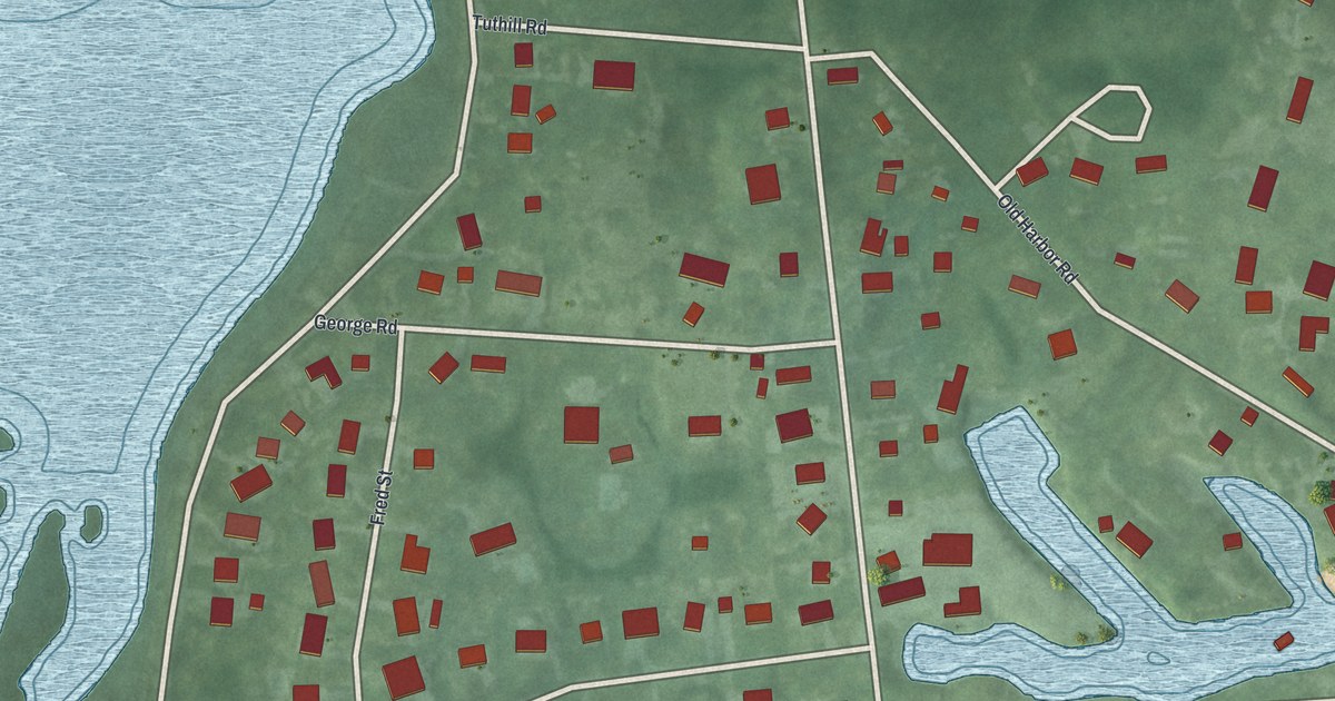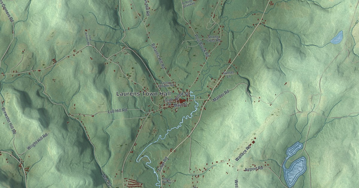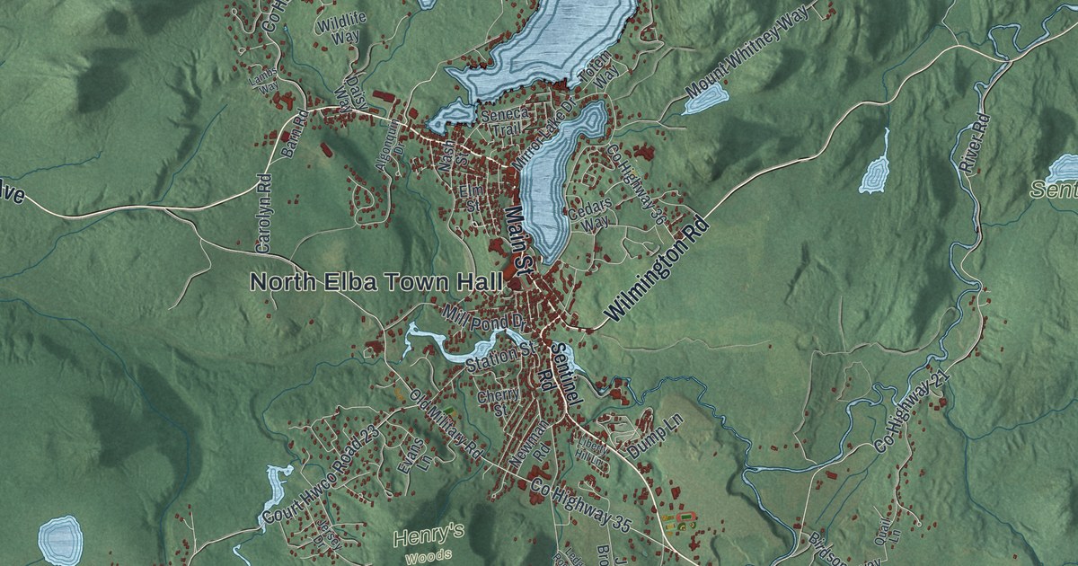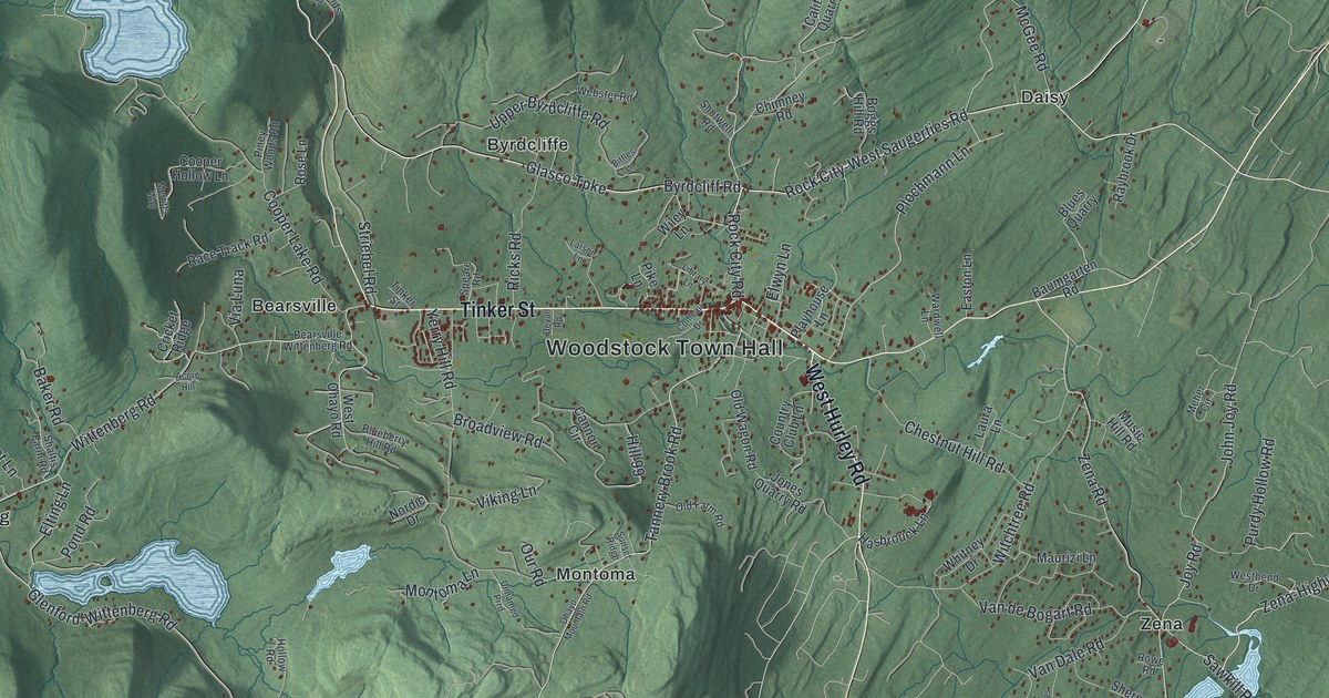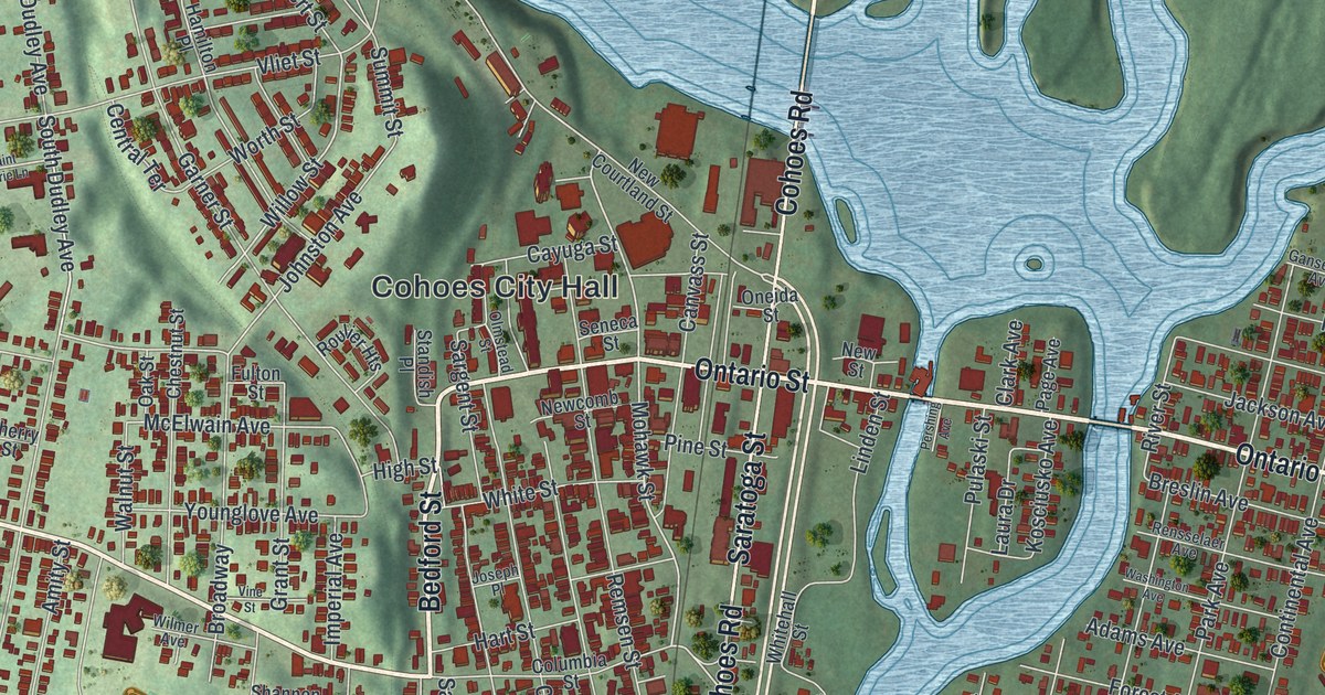
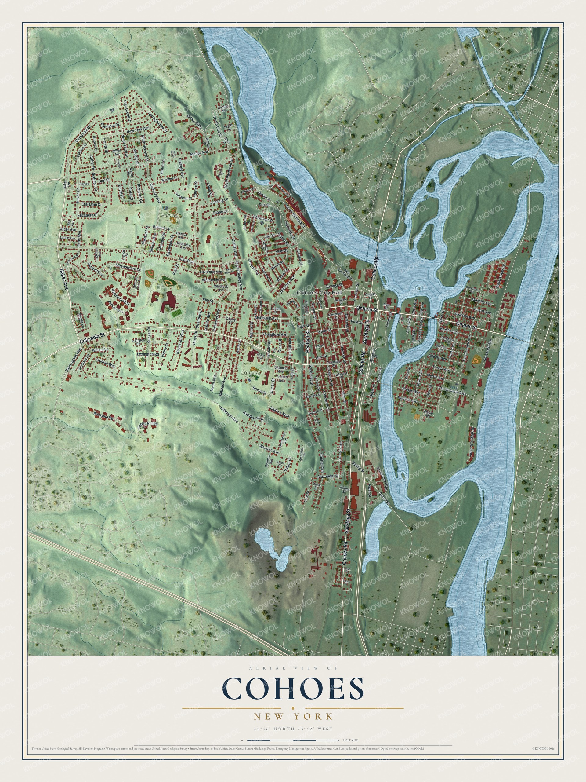
This beautifully detailed map of Cohoes, New York was created in 2026 using aerial imagery combined with modern topographical, census, street and landmark data. It’s a one-of-a-kind view of Cohoes that combines accurate data with a vintage aesthetic. The map shows every building in its true location, many of the roads carry their names, and the shaded topographic relief shows the shape of the land.
Explore an aerial view of Cohoes, New York
On the map you’ll find Cohoes City Hall, Lansing Park, and Berkley Park, along with Ontario Street, Baker Avenue, Columbia Street, Bedford Street, and more. If you look closely you can even find your house accurately drawn in its correct location. Zoom in on the preview to look for yours.
Did You Know?
Albany County’s first cotton mill went up in Cohoes in the 1820s. The Harmony Manufacturing Company started in 1836 and grew famous as Harmony Mills. Its Mill #3, over 1000 feet long, was thought to be the longest unbroken textile mill in the nation. Textiles earned the city its nickname, the Spindle City.
Take a closer look at the Cohoes map
Names on this map
These names are printed on this map.
Places: Cohoes City Hall, Lansing Park and Berkley Park.
Streets and roads: Ontario Street, Baker Avenue, Columbia Street, Bedford Street, Cohoes Road, Saratoga Street, Saint Agnes Highway, South Dudley Avenue, Mohawk Street, Willow Street, Devlin Street, Delaware Avenue.
More street names, A to Z
Adams Avenue, Admiral's Walk Drive, Alder Avenue, Alexander Street, Amity Street, Andrew Lane, Arlington Road, Arthur Drive, Avalon Place, Bayberry Lane, Beacon Avenue, Bell Avenue, Berkeley Avenue, Berkley Avenue, Berkshire Avenue, Bevan Street, Bleeker Street, Breslin Avenue, Bridge Avenue, Bridge Street, Broadway, Bullock Lane, Canvass Street, Carl Street, Carlton Avenue, Cataract Street, Cayuga Street, Cedar Street, Central Avenue, Central Terrace, Cherry Hill Road, Cherry Street, Chestnut Street, Church Street, Clark Avenue, Clearview Court, Conboy Avenue, Congress Street, Conliss Avenue, Continental Avenue, Cottage Avenue, Dartmouth Street, David Drive, Deerfield Drive, Diane Court, Division Street, Dudley Avenue, Dyke Avenue, Eagle's Nest, Earl Lynn Court, Edsel Place, Edward Street, Egbert Street, Elaine Court, Elizabeth Court, Elm Street, Erie Street, First Street, Forest Avenue, Fourth Street, Francis Street, Fulton Street, Gansevoort Avenue, Garner Street, George Street, Grandview Avenue, Grandview Terrace, Grant Street, Hamilton Place, Harmony Street, Hart Street, Harvard Street, Haven Lane, Hawk Street, Hawthorne Street, Heartt Avenue, High Street, Hilltop Drive, Hines Drive, Hudson Avenue, Imperial Avenue, Jackson Avenue, James Street, Jay Street, Jefferson Avenue, Jennings Place, Johnston Avenue, Joseph Place, Kosciusko Avenue, Lancaster Street, Lansing Lane, Lansing Street, Lark Street, Laura Drive, Lenox Avenue, Leversee Avenue, Lexington Road, Lighthall Avenue, Lincoln Avenue, Linda Avenue, Linden Street, Linen Place, Louis Street, Main Street, Mann Avenue, Manor Avenue, Manor Heights, Manor Sites, Maple Avenue, Maple Lane, Masten Avenue, Mazurki Court, McDonald Drive, McElwain Avenue, Meadowlark Drive, Melville Avenue, Middle Street, Miller Avenue, Morris Street, Myrtle Avenue, Newark Street, Newcomb Street, New Courtland Street, New Street, New York Avenue, Nichols Lane, Niver Street, North Erie Street, North First Street, North Mohawk Street, North Reservoir Street, North Second Street, North Third Street, Oak Street, Oliver Street, Olmstead Street, Oneida Street, Oxford Circle, Page Avenue, Park Avenue, Pasinella Way, Pasinell Way, Pershing Avenue, Pike Creek Drive, Pine Street, Platt Street, Pleasant Court, Pleasant Street, Pulaski Street, Randolph Street, Remsen Street, Rensselaer Avenue, Reservoir Street, Richmond Street, River Street, Romaine Road, Roosevelt Boulevard, Rose Court, Roulier Heights, Rudolph Court, Saint Marie Lane, Sandusky Street, Sargent Street, School Street, Schuyler Street, Second Street, Seneca Street, Seymour Avenue, Shannon Avenue, Simmons Avenue, Springhollow Drive, Spring Street, Standish Place, Stratford Court, Summit Street, Sunset Court, Tanguay Drive, Taylor Street, Third Street, Trull Street, Truman Way, Van Schaick Avenue, Vine Street, Vliet Boulevard, Vliet Street, Walnut Street, Washington Avenue, Waterside Way, Watersview Circle, Watervliet Avenue, Wertime Court, Western Avenue, West Street, Whitbeck Avenue, Whitehall Street, White Street, William Street, Willowbrook Lane, Wilmer Avenue, Wilson Lane, Worth Street, Younglove Avenue, Ziemke Farm Lane.
See it on a wall
The Cohoes map as a framed print. Swipe for more.


This beautifully detailed map of Cohoes makes an attractive addition to your office, library, or den, and it can even be used to teach children the geography and history of the area. It also makes a great gift for anyone who grew up in Cohoes or moved away. When you’re done exploring, click here to get your copy of the Cohoes map.