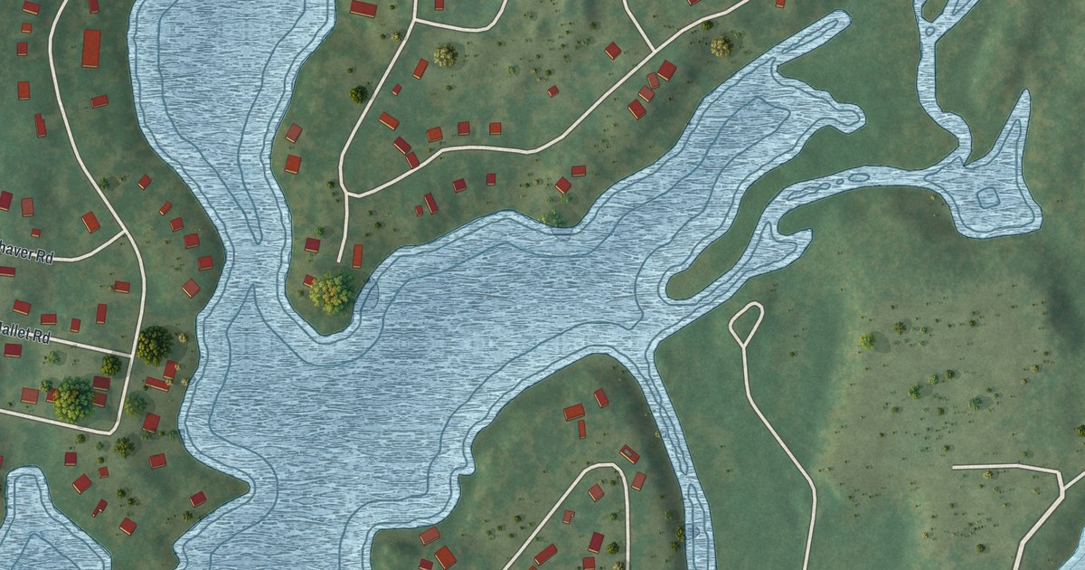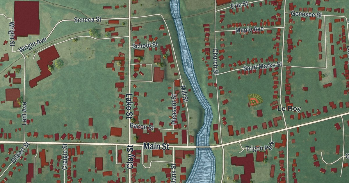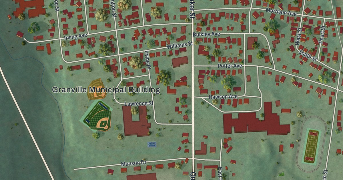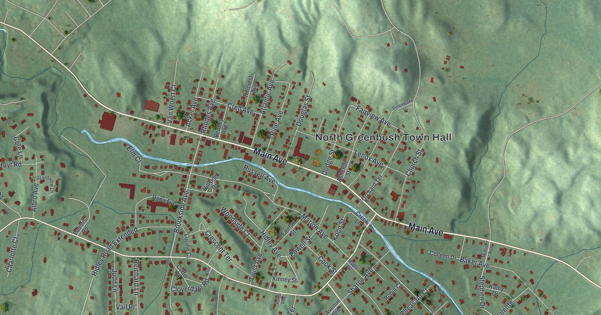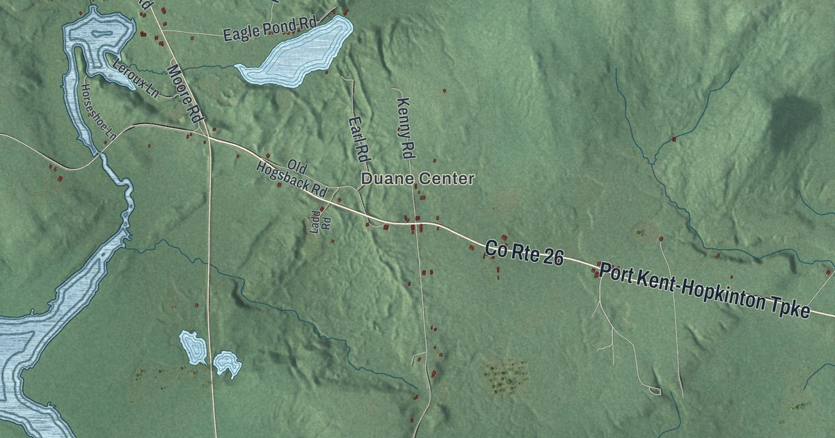
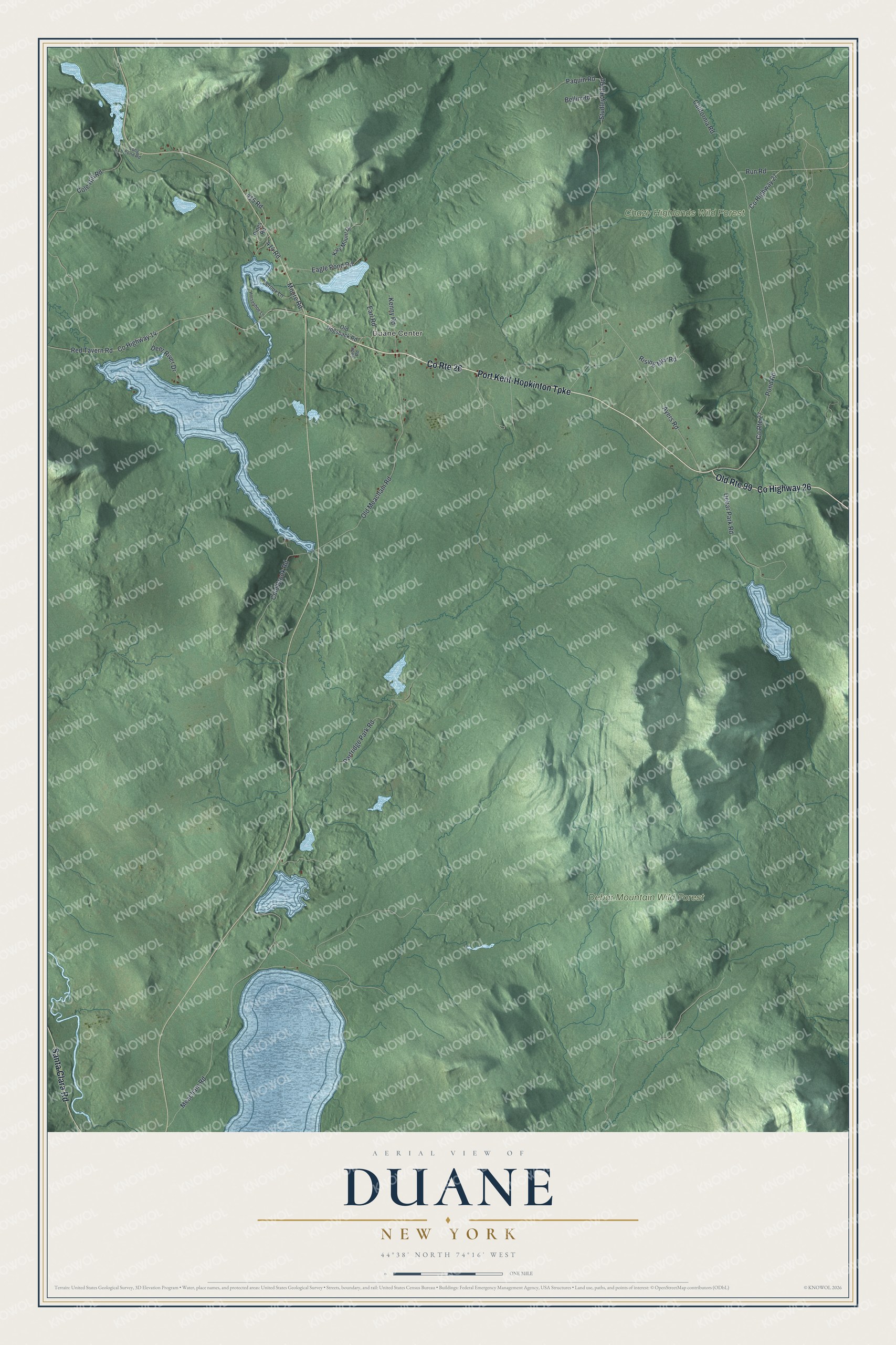
This beautifully detailed map of Duane, New York was created in 2026 using aerial imagery combined with modern topographical, census, street and landmark data. It’s a one-of-a-kind view of Duane that combines accurate data with a vintage aesthetic. The map shows every building in its true location, many of the roads carry their names, and the shaded topographic relief shows the shape of the land.
Explore an aerial view of Duane, New York
On the map you’ll find Duane Center, Chazy Highlands Wild Forest, and Debar Mountain Wild Forest, along with Port Kent-Hopkinton Turnpike, Santa Clara Road, Pond Road, Old Meacham Road, Moore Road, and more. If you look closely you can even find your house accurately drawn in its correct location. Zoom in on the preview to look for yours.
Did You Know?
Duane takes its name from James Duane, a developer who owned the land and brought its first settlers. His grandfather, also named James Duane, had been mayor of New York City. Processing iron ore was among the earliest work here. The town was formed from part of Malone in 1828.
Take a closer look at the Duane map
Names on this map
These names are printed on this map.
Places: Duane Center, Chazy Highlands Wild Forest and Debar Mountain Wild Forest.
Streets and roads: County Highway 26, Port Kent-Hopkinton Turnpike, County Route 26, Santa Clara Road, Old Route 99, Pond Road, County Highway 27, Old Meacham Road, Moore Road, Studley Hill Road, County Route 27, Meacham Road.
More street names, A to Z
414 Road, 415 Road, Ayers Road, Bellin Road, California Road, Cold Brook Road, Cole Hill Road, County Highway 14, Debar Park Road, Deer River Drive, Eagle Pond Road, Earl Road, Horseshoe Lane, Kary Mount Drive, Kenny Road, Ladd Road, Leroux Lane, Long Pond Road, Old Hogsback Road, Paquin Road, Partridge Park Road, Pines Road, Red Tavern Road, Rising Mist Road, Run Road.
See it on a wall
The Duane map as a framed print. Swipe for more.


This beautifully detailed map of Duane makes an attractive addition to your office, library, or den, and it can even be used to teach children the geography and history of the area. It also makes a great gift for someone who left Duane and still calls it home. When you’re done exploring, click here to get your copy of the Duane map.