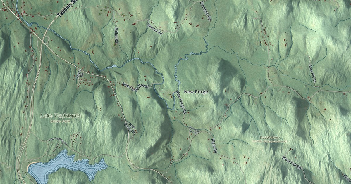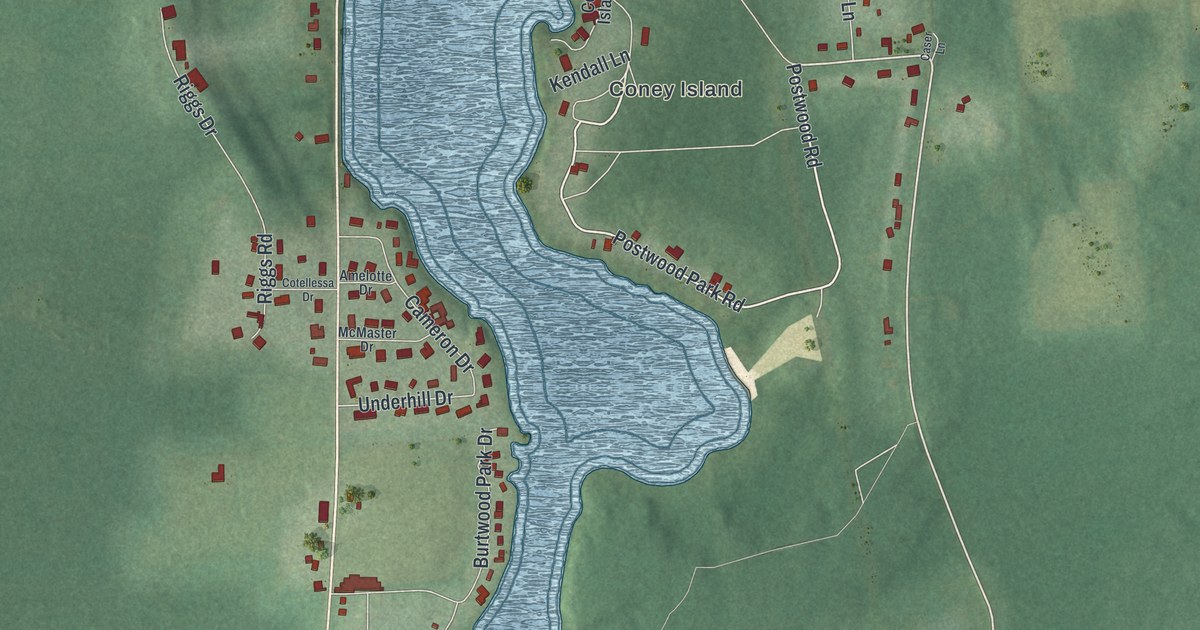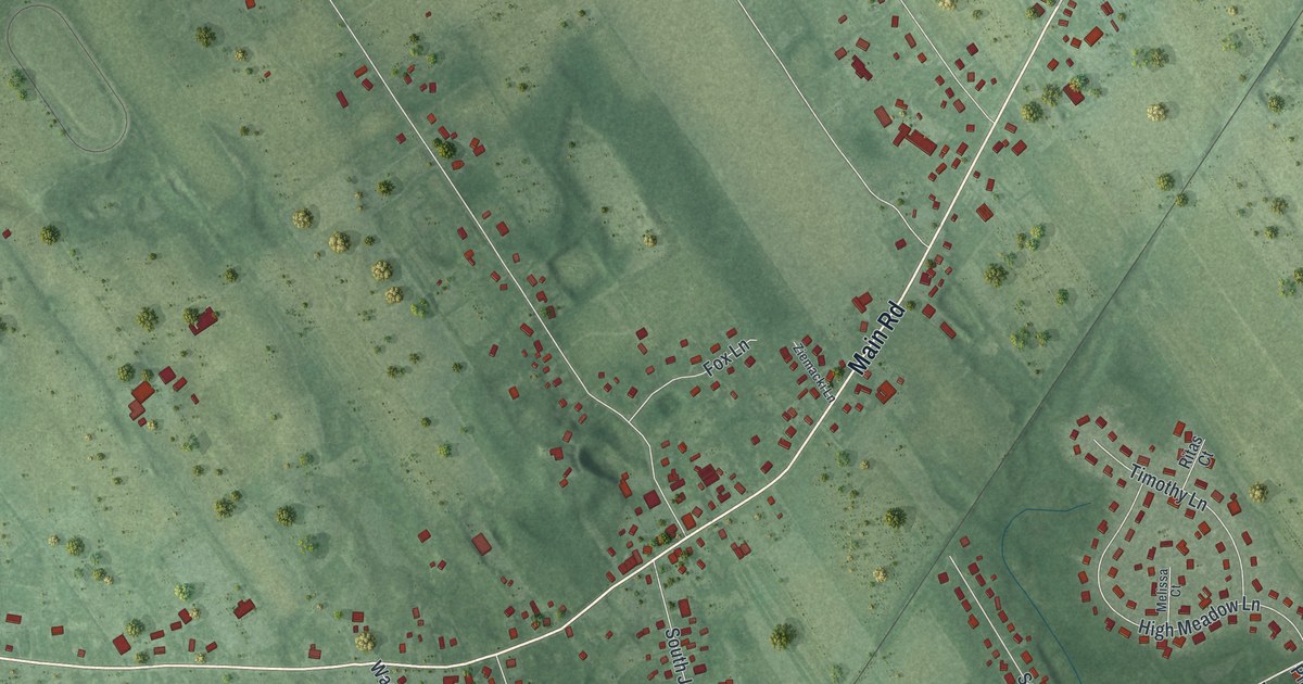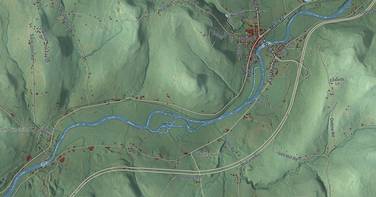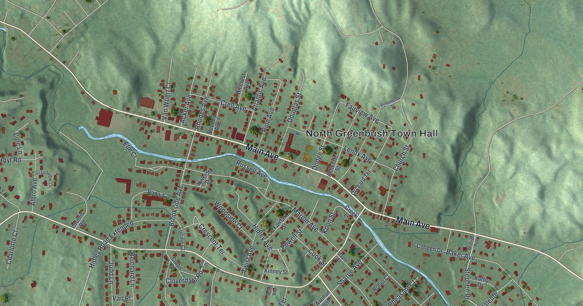
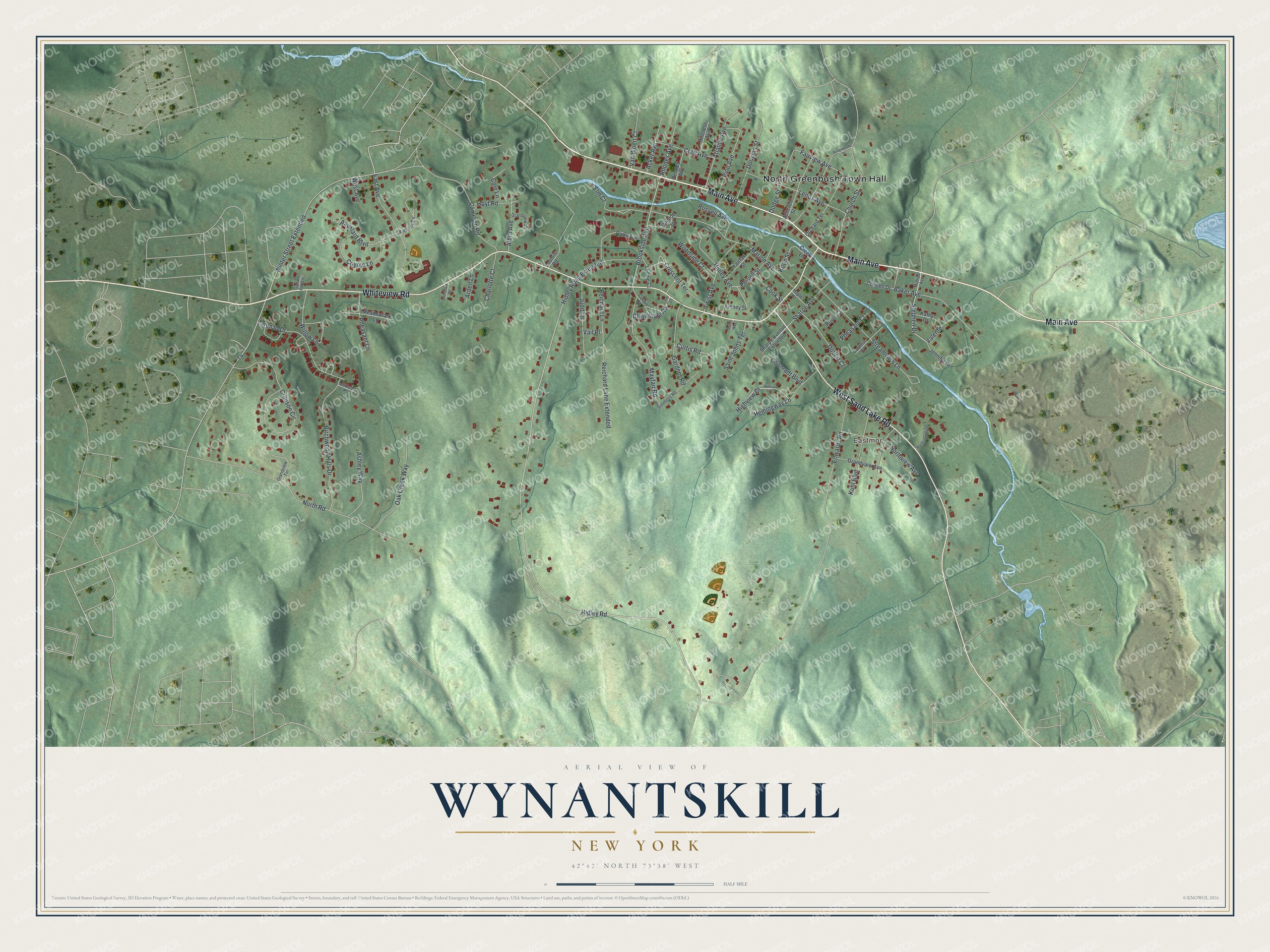
This beautifully detailed map of Wynantskill, New York was created in 2026 using aerial imagery combined with modern topographical, census, street and landmark data. It’s a one-of-a-kind view of Wynantskill that combines accurate data with a vintage aesthetic. The map shows every building in its true location, many of the roads carry their names, and the shaded topographic relief shows the shape of the land.
Explore an aerial view of Wynantskill, New York
On the map you’ll find North Greenbush Town Hall and Eastmor, along with Main Avenue, Whiteview Road, Sand Lake Road, Hidley Road, and more. If you look closely you can even find your house accurately drawn in its correct location. Zoom in on the preview to look for yours.
Take a closer look at the Wynantskill map
Names on this map
These names are printed on this map.
Places: North Greenbush Town Hall and Eastmor.
Streets and roads: Main Avenue, Whiteview Road, West Sand Lake Road, Hidley Road, Stephen Drive, Hemingway Lane, Brookside Avenue, Crescent Terrace, Fairview Avenue, Winter Street Extended, Edwards Road, North Road.
More street names, A to Z
Aavelard Boulevard, Acker Avenue, Albro Avenue, Arden Lane, Ashcroft Street, Ashley Way, Atlantic Avenue, Baker Avenue, Bellemeade Street, Bentley Avenue, Birchwood Hills Drive, Cameron Road, Cardinal Court, Charlotte Court, Church Street, Cloverdale Road, Cole Lane, Colleen Drive, Cook Street, Coonradt Boulevard, Coyote Lane, Creek Lane, Crell Avenue, Crimson Circle, Curtis Road, Curtis Street, Dana Avenue, Dobert Court, Dodge Street, Douglas Street, East Avenue, Elm Court, Fairfax Street, Gallant Fox Lane, Gardner Road, Grandview Avenue, Grandview Lane, Grandview Terrace, Hidley Avenue, Hidley Road Extended, Highview Court, Hillcrest Avenue, Hillside Drive, Hillview Court, Hoyt Road, Jennifer Drive, Judd Lane, Kathy Drive, Kimberly Circle, Kinney Street, Koon Street, Kuhl Boulevard, Lenox Avenue, Loomis Road, Lorenzo Drive, Lucille Court, Maple Street, Marion Avenue, Mayfair Road, McWood Place, Meadowlark Lane, Milhizer Avenue, Northview Avenue, Oak Creek Way, Orchard Terrace, Pheasant Court, Pheasant Lane, Pine Avenue, Pine Court, Powell Street, Reichard Lane, Reichard Lane Extended, Renshaw Road, Rhodes Avenue, Robin Court, Russell Avenue, Ruths Way, Saint Johns Terrace, Sharpe Avenue, Sharpe Avenue Extended, Simmons Road, Streamview Lane, Twist Avenue, Vail Place, Valente, Van Woert Court, West Avenue, Willow Lane, Woodside Court, Worthington Terrace.
See it on a wall
The Wynantskill map as a framed print. Swipe for more.


This beautifully detailed map of Wynantskill makes an attractive addition to your office, library, or den, and it can even be used to teach children the geography and history of the area. It also makes a great gift for anyone with Wynantskill roots. When you’re done exploring, click here to get your copy of the Wynantskill map.