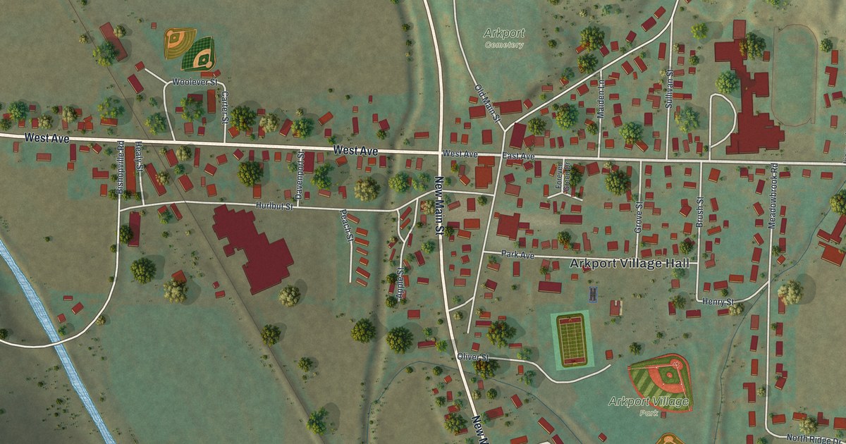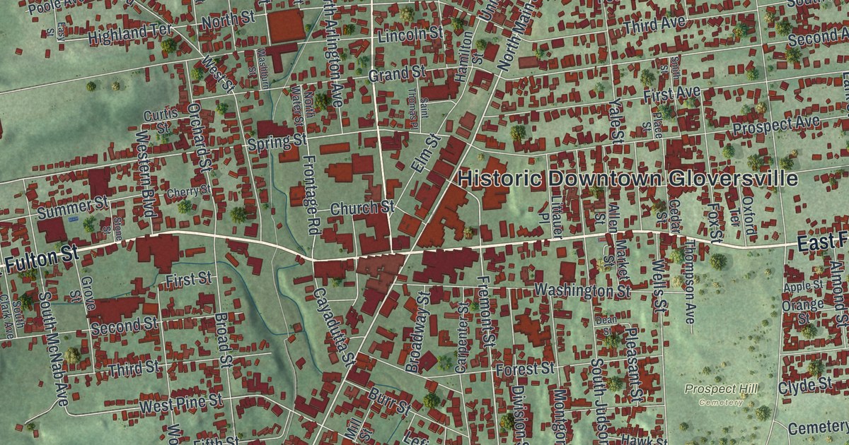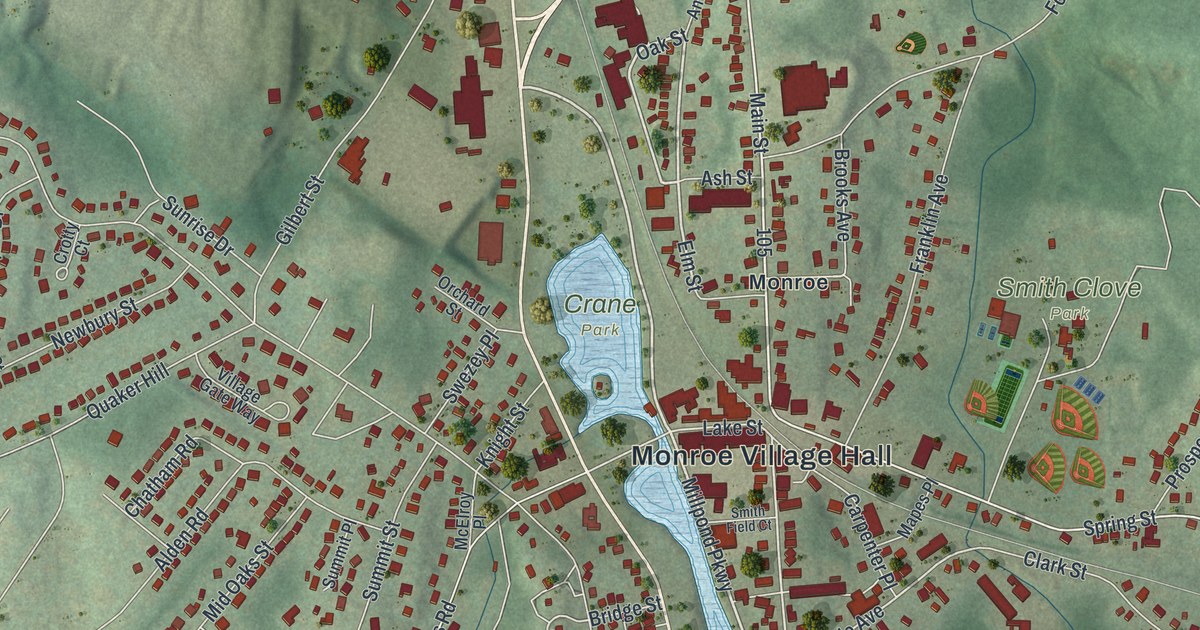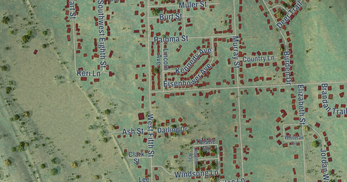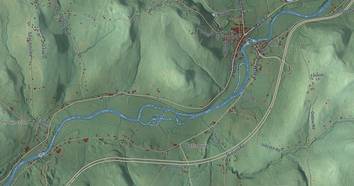
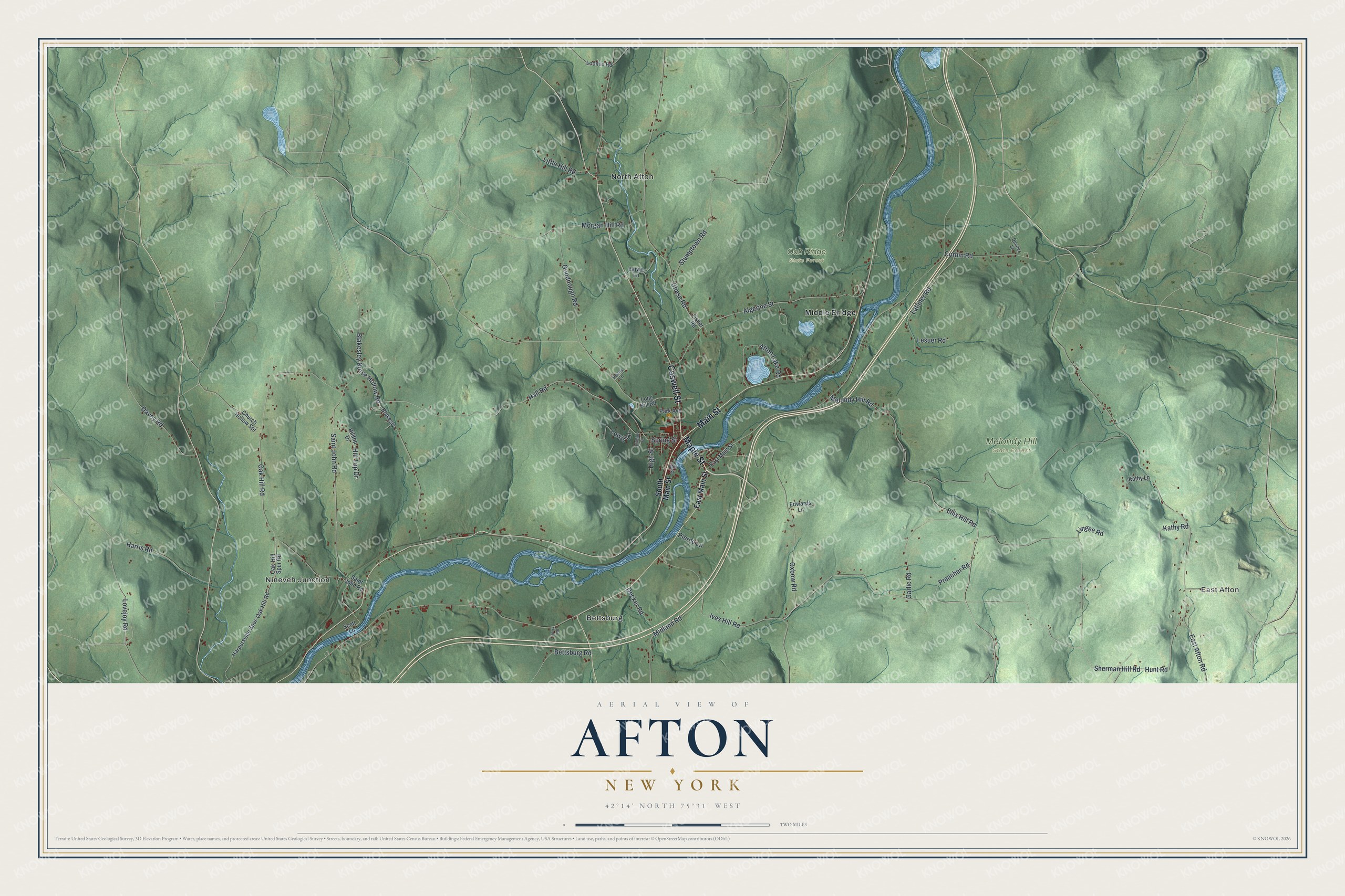
This beautifully detailed map of Afton, New York was created in 2026 using aerial imagery combined with modern topographical, census, street and landmark data. It’s a one-of-a-kind view of Afton that combines accurate data with a vintage aesthetic. The map shows every building in its true location, many of the roads carry their names, and the shaded topographic relief shows the shape of the land.
Explore an aerial view of Afton, New York
On the map you’ll find East Afton, Nineveh Junction, Bettsburg, Middle Bridge, North Afton, Melondy Hill State Forest, and Oak Ridge State Forest, along with Maple Street, Caswell Street, Main Street, Blakesley Nurse Hollow Road, Lovejoy Road, and more. If you look closely you can even find your house accurately drawn in its correct location. Zoom in on the preview to look for yours.
Did You Know?
Afton is named for a Scottish stream called Afton Water, in Ayrshire. The poet Robert Burns made that stream famous in verse. The town was split off from Bainbridge on November 18, 1857. Settlers first came to the area around 1786.
Take a closer look at the Afton map
Names on this map
These names are printed on this map.
Places: East Afton, Nineveh Junction, Melondy Hill State Forest, Oak Ridge State Forest, Bettsburg, Middle Bridge and North Afton.
Streets and roads: Maple Street, Caswell Street, Main Street, Blakesley Nurse Hollow Road, Lovejoy Road, Ellis Hill Road, Melondy Hill Road, Hunt Road, Hall Road, Oxbow Road, Sherman Hill Road, East Afton Road.
More street names, A to Z
Afton Lake Road, Algerine Street, Bettsburg Road, Blakesly, Chase Road, Church Hollow Spr, Corbin Road, Davey Road, Decker Road, Devries Lane, East Main Street, Edwards Lane, Fisher Road, Garlic Road, Goodnough Road, Harpursville Spur-Oak Hill Road, Harris Road, High Street, Hillside Drive, Hill Top Drive, Hilltop Drive, Howe Lane, Ives Hill Road, Kathy Lane, Kathy Road, Latimer Road, Lesuer Road, Lewis Lane, Lingee Road, Little Hill Road, Long Hill Road, Loomis Road, Midland Road, Mill Street, Morgan Hill Road, Oak-Hill Spur Road, Oak Hill Road, Park Avenue, Penny Lane, Pierce Lane, Preacher Road, Saint John Road, Scott Lane, South Main Street, Spring Street, Stumptown Road, Terry Road.
See it on a wall
The Afton map as a framed print. Swipe for more.


This beautifully detailed map of Afton makes an attractive addition to your office, library, or den, and it can even be used to teach children the geography and history of the area. It also makes a great gift for anyone who grew up in Afton or moved away. When you’re done exploring, click here to get your copy of the Afton map.