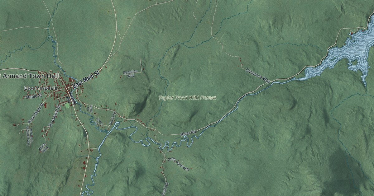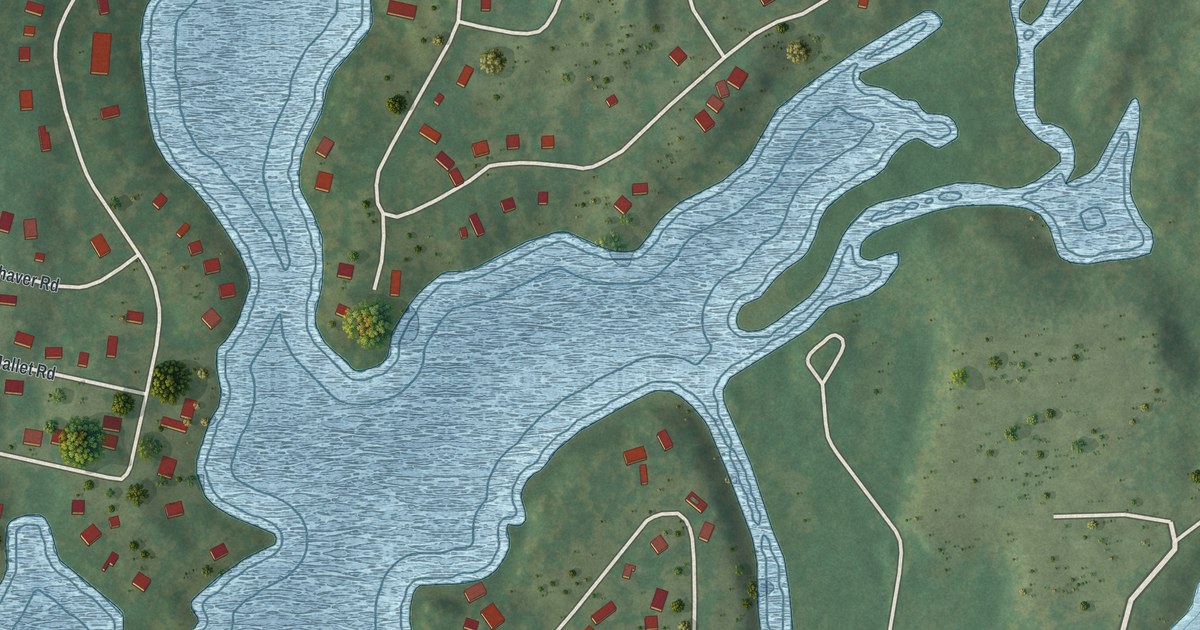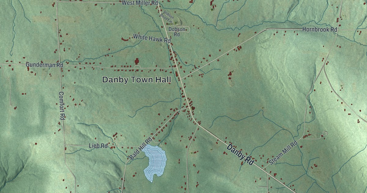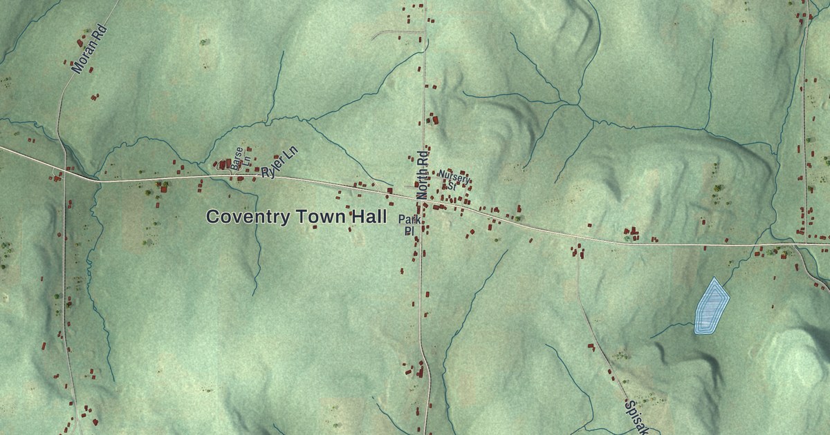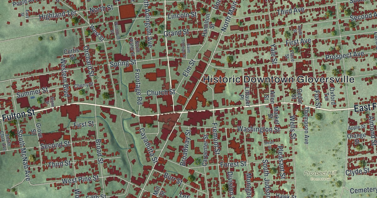
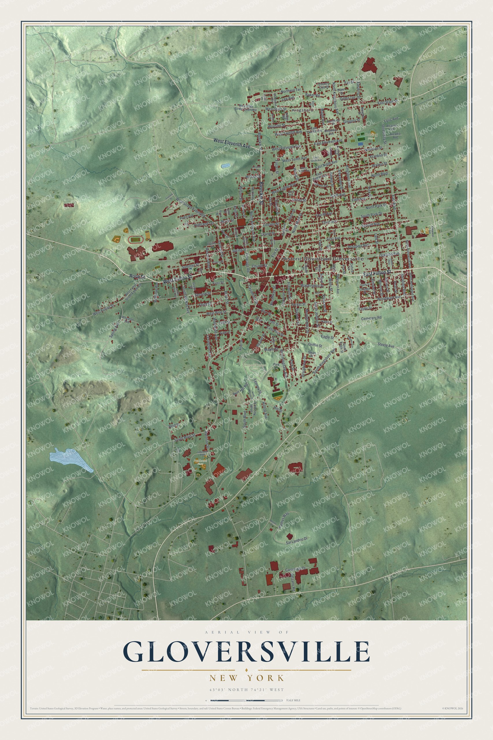
This beautifully detailed map of Gloversville, New York was created in 2026 using aerial imagery combined with modern topographical, census, street and landmark data. It’s a one-of-a-kind view of Gloversville that combines accurate data with a vintage aesthetic. The map shows every building in its true location, many of the roads carry their names, and the shaded topographic relief shows the shape of the land.
Explore an aerial view of Gloversville, New York
On the map you’ll find Historic Downtown Gloversville, Kingsboro, Herman Meyers Park, and Prospect Hill Cemetery, along with Fulton Street, Rose Street, Bleecker Street, Eleventh Avenue, and more. If you look closely you can even find your house accurately drawn in its correct location. Zoom in on the preview to look for yours.
Did You Know?
Before 1828 this place was known as Stump City, for all the trees that had been cut. It became Gloversville when its post office opened that year. Nearby hemlock forests supplied bark for tanning leather. From 1890 to 1950, nine of every ten gloves sold in America were made here.
Take a closer look at the Gloversville map
Names on this map
These names are printed on this map.
Places: Historic Downtown Gloversville, Darling Field, Herman Meyers Park, Prospect Hill Cemetery, Parkhurst Field and Kingsboro.
Streets and roads: East Fulton Street, West Fulton Street, Rose Street, Bleecker Street, West Eleventh Avenue, South Main Street, North Main Street, East Boulevard, Steele Avenue, Fremont Street, Lee Avenue, South McNab Avenue.
More street names, A to Z
Academy Place, Addison Street, Alcazar Avenue, Alexander Street, Allen Street, Almond Street, Apple Street, Arcadia Avenue, Baker Road, Baker Street, Beaver Street, Bellevue Avenue, Belzano Road, Bloomingdale Avenue, Brentwood Avenue, Broad Street, Broadway Street, Burlington Avenue, Burr Hill Road, Burr Street, Carpenter Street, Cayadutta Street, Cedar Street, Cemetery Road, Cherry Street, Church Street, Clyde Street, Corporate Drive, Country Club Drive, Curtis Street, Dean Street, Decker Drive, Delaware Avenue, Division Street, Eagle Street, Early Avenue, East Eighth Avenue, East Eleventh Avenue, Easterly Street, Eastland Drive, East Ninth Avenue, East Pine Street, East State Street, East Tenth Avenue, East Twelfth Avenue, Easy Street, Edgewood Drive, Elm Street, Elmwood Avenue, Fay Street, Fifth Avenue, Fifth Street, First Avenue, First Street, Forest Street, Foster Street, Fourth Avenue, Fox Street, Franklin Street, Frontage Road, Fruit Street, Gillen Terrace, Glenwood Avenue, Glove Street, Grand Street, Grandview Drive, Gregory Street, Griffin Street, Grove Street, Hamilton Street, Harrison Street, Hawk Street, Helwig Street, Highland Terrace, Hill Street, Hilltop Avenue, Industrial Parkway, James Street, Jay Street, John Street, Judson Parkway, Kathys Way, Kent Street, Kingsboro Avenue, Lafayette Street, Lark Street, Lefi Street, Lennox Street, Leto Lane, Lexington Avenue, Lincoln Street, Littauer Place, Lyric Avenue, Maple Avenue, Maple Street, Market Street, McKinley Place, Meadow Street, Mill Street, Monroe Street, Montgomery Street, Newman Street, North Arlington Avenue, North Boulevard, Northern Terrace, North Hollywood Avenue, North Kingsboro Avenue, North Nassau Street, North Park Drive, North Street, North Water Street, Oakland Avenue, Orange Street, Orchard Street, Oxford Terrace, Park Street, Park Terrace, Pearl Street, Place Street, Pleasant Street, Poole Avenue, Prospect Avenue, Reid Street, Ridge Road, River Street, Saint Thomas Place, Sal Landrio Drive, Santos Drive, Saratoga Boulevard, Second Avenue, Second Street, Seventh Avenue, Sixth Avenue, Sixth Street, Smith Street, South Boulevard, South Clark Avenue, South Eagle Street, South Hollywood Avenue, South Judson Street, South Kingsboro Avenue, South Nassau Street, South Park Drive, Spring Avenue, Spring Street, Spruce Street, Stone Street, Summer Street, Swan Street, Temple Street, Third Avenue, Third Street, Thompson Avenue, Union Street, University Street, Walnut Street, Washburn Street, Washington Street, Wells Street, West Eighth Avenue, Western Boulevard, West Fulton Street Extended, West Ninth Avenue, West Pine Street, West State Street, West State Street Extended, West Street, West Street Extended, West Tenth Avenue, West Twelfth Avenue, Wheaton Avenue, William Street, Willow Street, Wilson Street, Windsor Drive, Woodside Avenue, Wood Street, Woodward Avenue, Wooster Street, Yale Street, York Street.
See it on a wall
The Gloversville map as a framed print. Swipe for more.


This beautifully detailed map of Gloversville makes an attractive addition to your office, library, or den, and it can even be used to teach children the geography and history of the area. It also makes a great gift for anyone who grew up in Gloversville or moved away. When you’re done exploring, click here to get your copy of the Gloversville map.