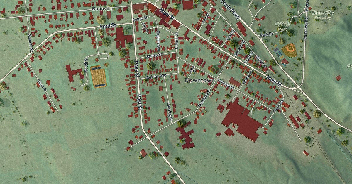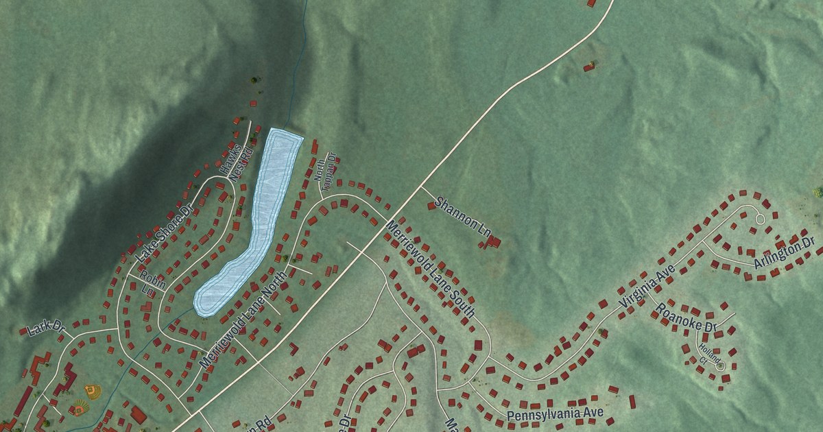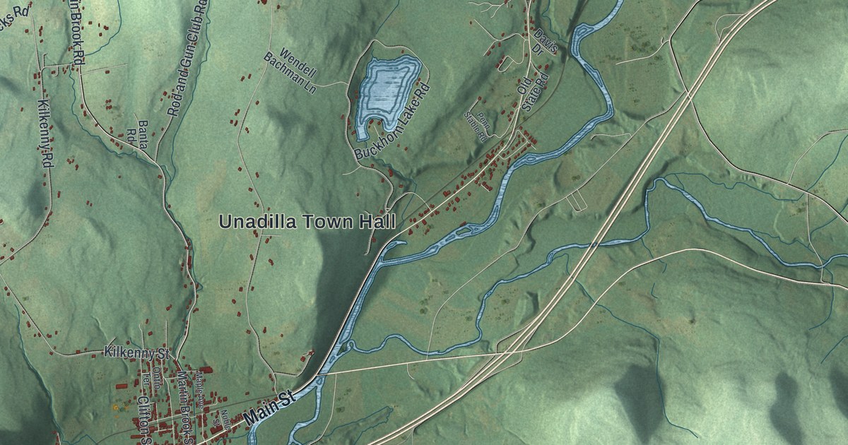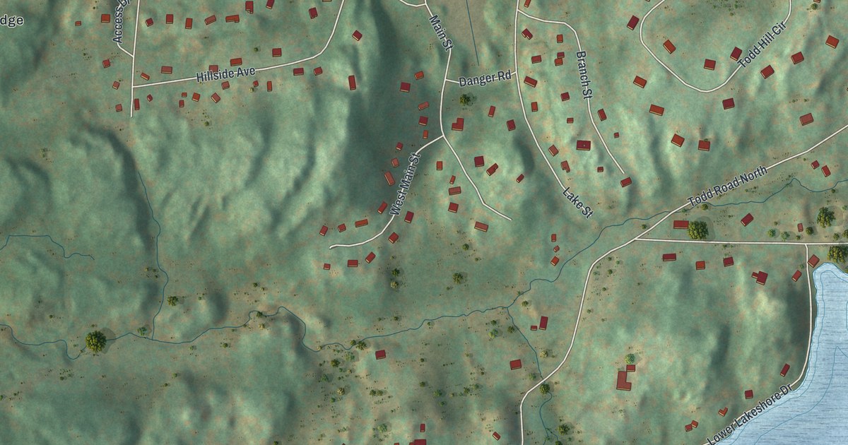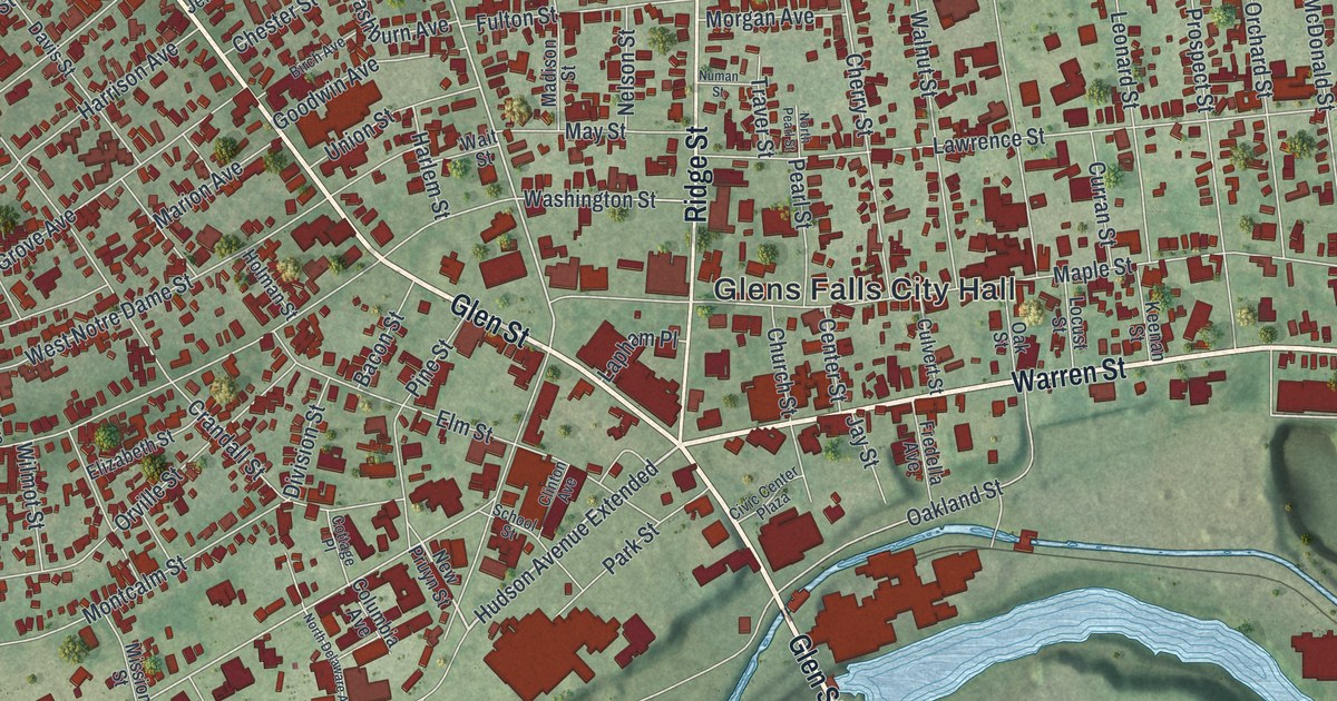
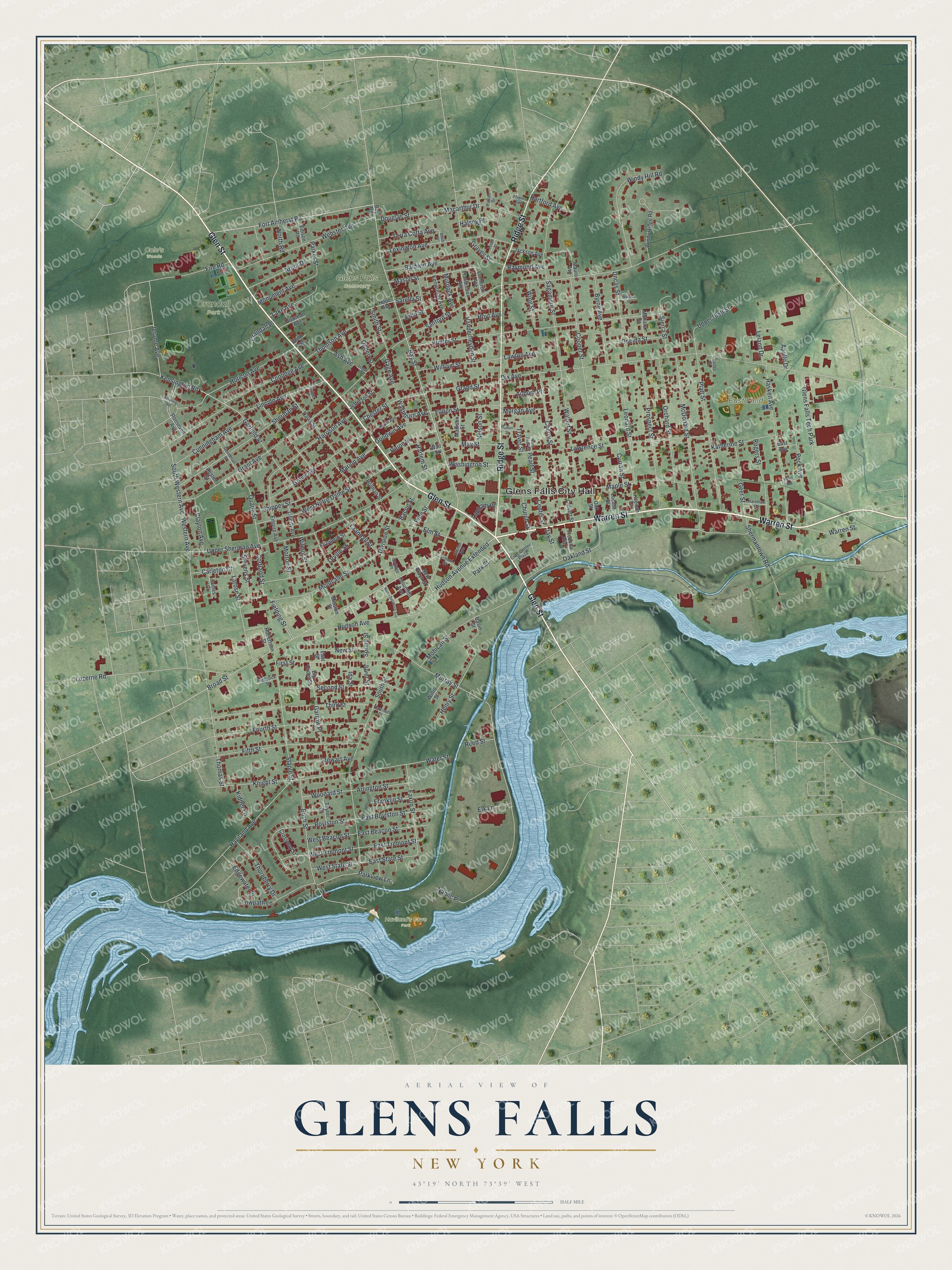
This beautifully detailed map of Glens Falls, New York was created in 2026 using aerial imagery combined with modern topographical, census, street and landmark data. It’s a one-of-a-kind view of Glens Falls that combines accurate data with a vintage aesthetic. The map shows every building in its true location, many of the roads carry their names, and the shaded topographic relief shows the shape of the land.
Explore an aerial view of Glens Falls, New York
On the map you’ll find Glens Falls City Hall, Hudson Avenue Extended, Crandall Park, and Haviland’s Cove Park, along with Glen Street, Warren Street, Ridge Street, and more. If you look closely you can even find your house accurately drawn in its correct location. Zoom in on the preview to look for yours.
Did You Know?
In 1766 the settlement was called Wing’s Falls. It honored Abraham Wing, who led the Quakers who settled here for good. In 1788 Wing’s claim to the name passed to Colonel Johannes Glen of Schenectady. Glen renamed the place for himself, and Glens Falls became the spelling.
Take a closer look at the Glens Falls map
Names on this map
These names are printed on this map.
Places: Glens Falls City Hall, Crandall Park, East Field, Glens Falls Cemetery, Haviland's Cove Park, Cole's Woods and Glens Falls Tech Park.
Streets and roads: Glen Street, Warren Street, Ridge Street, Hudson Avenue Extended, Fort Amherst Road, Bay Street, Kensington Road, Broad Street, Jerome Avenue, West Tremont Street, Oakland Street, South Western Avenue.
More street names, A to Z
Apollo Drive, Arbor Drive, Arlington Street, Ash Avenue, Auburn Place, Austin Street, Bacon Street, Baldwin Avenue, Basin Street, Bay Road, Big Cross Street, Birch Avenue, Bowman Avenue, Boylston Street, Bush Street, Byrne Avenue, Cameron Avenue, Carleton Court, Center Street, Charles Street, Cherry Street, Chester Street, Church Street, Civic Center Plaza, Clayton Avenue, Clinton Avenue, Columbia Avenue, Coolidge Avenue, Cooper Street, Cortland Street, Cottage Place, Crandall Place, Crandall Street, Crossway Street, Culvert Street, Cunningham Avenue, Curran Street, Davis Street, Division Street, Dix Avenue, Douglas Street, East Avenue, East Beacon Street, East Boylston Street, East State Street, East Street, East Tremont Street, Edgewater Place, Edison Road, Elizabeth Street, Elk Lane, Elm Street, Empire Avenue, Faxon Street, Fielding Street, Fifth Street, Fire Road, First Street, Flandreaux Avenue, Fourth Street, Fowler Avenue, Franklin Street, Fredella Avenue, Frederick Street, Fulton Street, Gage Avenue, Garfield Street, Garrow Place, Geer Street, Goodman Street, Goodwin Avenue, Grand Street, Grant Avenue, Graves Street, Grove Avenue, Halsey Place, Harlem Street, Harrison Avenue, Harrison Place, Hartford Avenue, Hartman Place, Haskell Avenue, Haviland Avenue, Henry Street, Holman Street, Hope Avenue, Horicon Avenue, Hoyt Avenue, Hudson Avenue, Hunter Street, Ida Street, Jackson Avenue, James Court, Jay Street, Jefferson Street, John Street, Juvet Street, Katherine Street, Keenan Street, Kenworthy Avenue, Kidder Lane, Knight Street, Lake Avenue, Lapham Place, Larose Street, Lawrence Street, Lawton Avenue, Leland Drive, Leonard Street, Lexington Avenue, Liberty Avenue, Lincoln Avenue, Locust Street, Logan Avenue, Luzerne Road, Macarthur Drive, Madison Street, Maple Street, Marion Avenue, Mason Street, Mauro Avenue, May Street, McDonald Street, Mission Street, Mohawk Street, Mohican Street, Montcalm Street, Monument Avenue, Morgan Avenue, Morton Street, Murdock Avenue, Murray Street, Namic Place, Nelson Street, New Pruyn Street, New Street, North Delaware Avenue, North Pearl Street, North Road, Numan Street, Oak Street, Ogden Street, Oneida Street, Orchard Street, Orville Street, Parker Street, Park Street, Parkview Lane, Patton Drive, Pearl Street, Peck Avenue, Peck Road, Pershing Road, Philo Avenue, Pine Street, Platt Street, Potter Street, Prospect Street, Pulver Place, Quade Street, Raymond Avenue, Reed Street, Robertson Street, Rogers Street, Roosevelt Avenue, Sagamore Street, Sanford Street, Sarella Street, School Street, Second Street, Sheridan Street, Shermantown Road, Shippey Street, Sierra Street, Smith Street, South Street, Spring Street, Staple Street, Stevens Street, Stewart Avenue, Taylor Street, Terra Cotta Avenue, Third Street, Thomas Street, Thomson Avenue, Thornberry Drive, Towpath Lane, Traver Street, Uncas Street, Union Street, Upper Platt Street, Upper Sherman Avenue, Vanderheyden Street, Wait Street, Wallace Drive, Walnut Street, Washburn Avenue, Washington Street, Water Street, Webb Street, Webster Avenue, West Beacon Street, Western Avenue, West Notre Dame Street, West State Street, William Street, Willis Street, Wilmot Street, Windy Hill Road, Windy Ridge Road, Wing Street, Woodard Street.
See it on a wall
The Glens Falls map as a framed print. Swipe for more.


This beautifully detailed map of Glens Falls makes an attractive addition to your office, library, or den, and it can even be used to teach children the geography and history of the area. It also makes a great gift for anyone with Glens Falls roots. When you’re done exploring, click here to get your copy of the Glens Falls map.