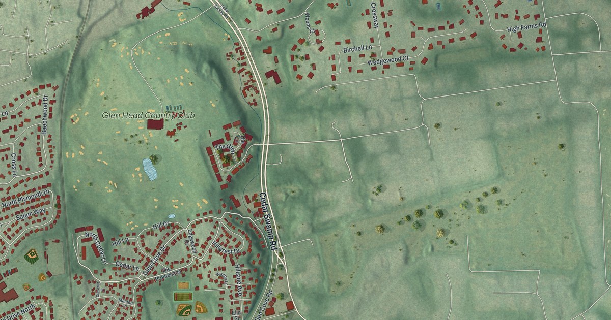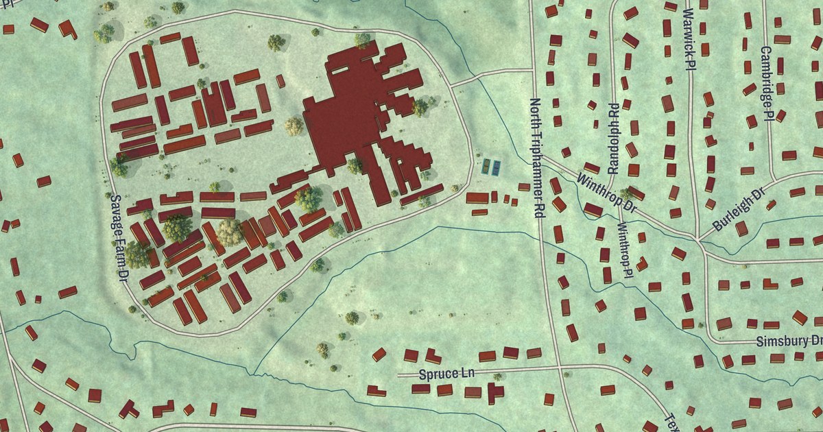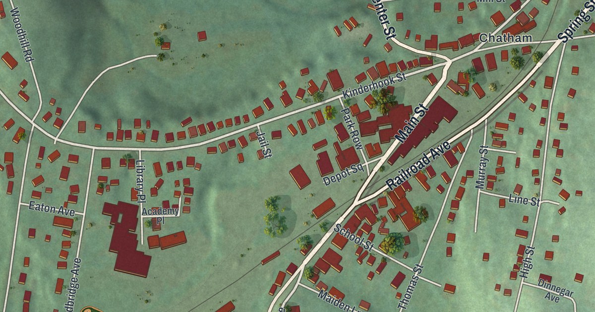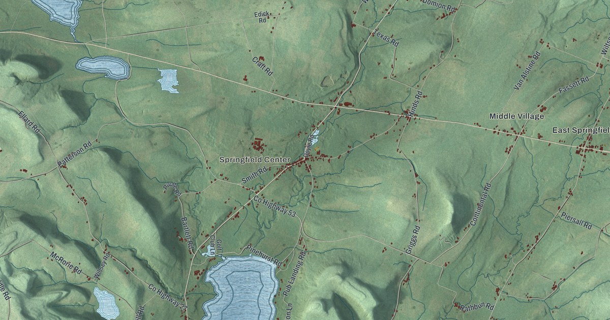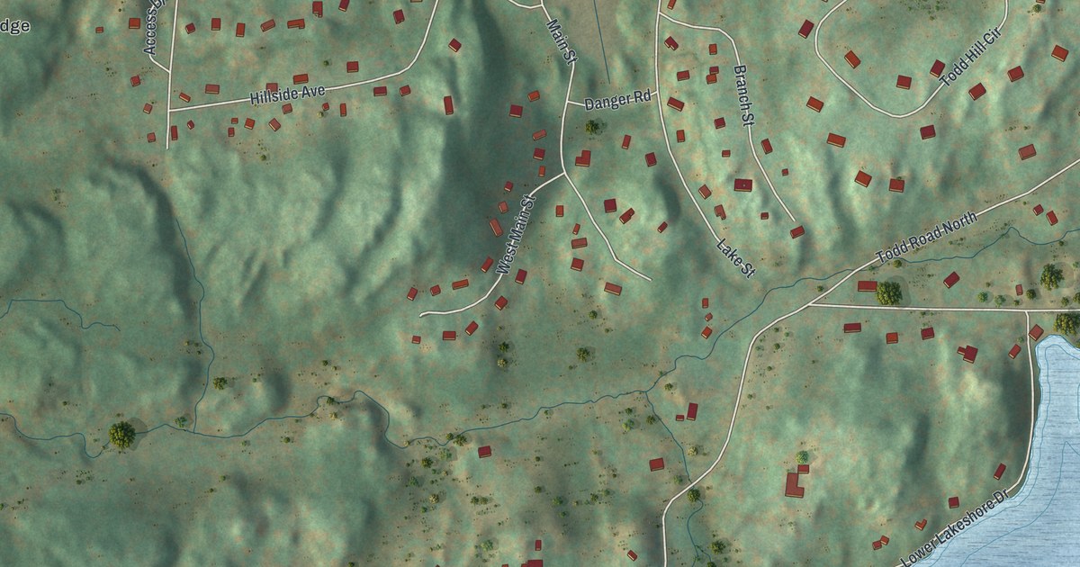
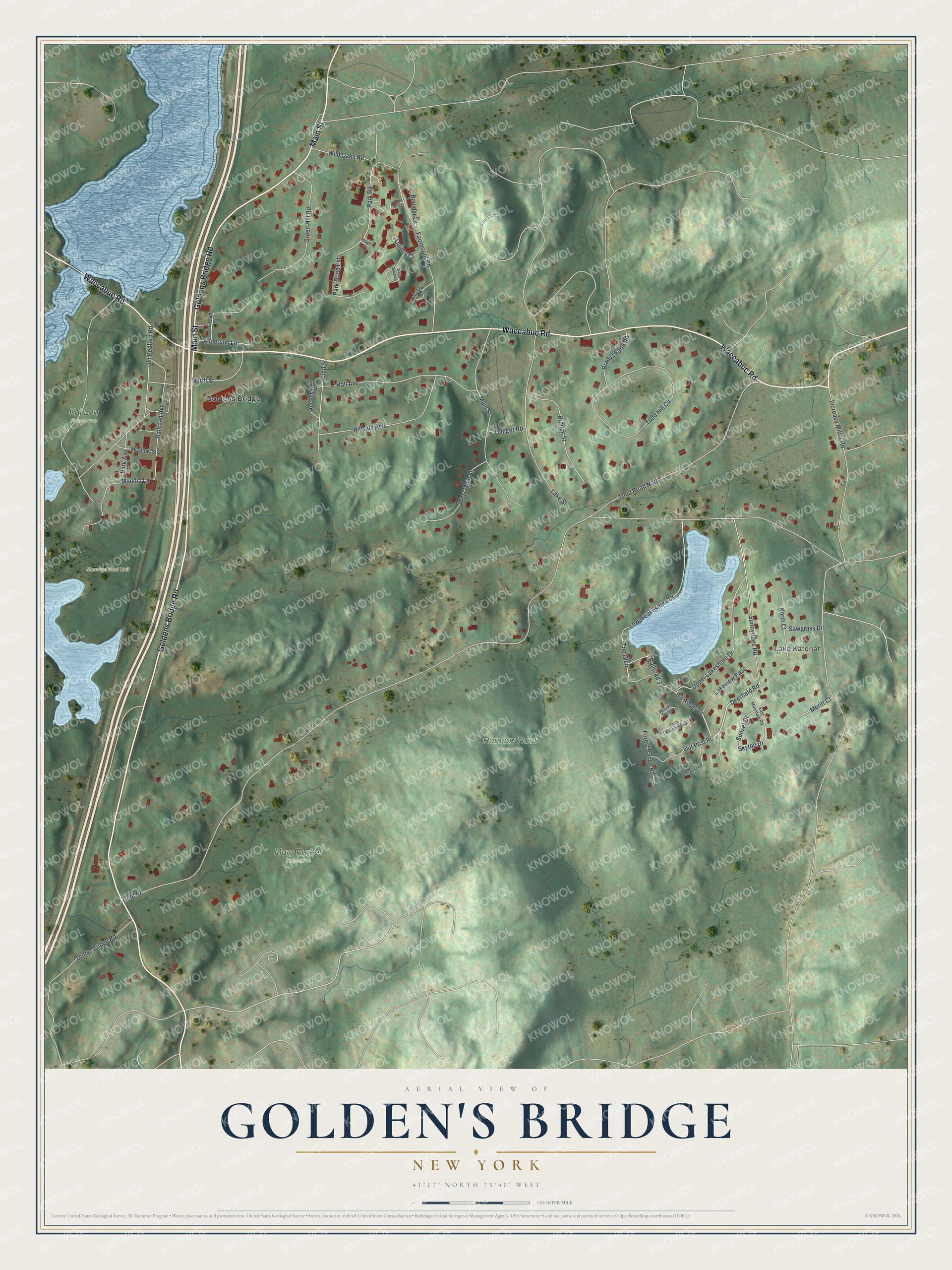
This beautifully detailed map of Golden's Bridge, New York was created in 2026 using aerial imagery combined with modern topographical, census, street and landmark data. It's a modern aerial view of Golden's Bridge in Westchester County, New York, that combines modern data with a vintage aesthetic. The roads feature printed names, and if you look closely you can find your exact house accurately shown in its correct location.
Explore an aerial view of Golden's Bridge, New York
On this map you'll find Lake Katonah, Mary Parker Preserve, Muscoot East Unit, Ramsay Hunt Preserve, Kai Lon Preserve, Goldens Bridge, Goldens Bridge Road, Waccabuc Road, Main Street, Deerfield Road, Skytop Drive, Sunset Drive, and more. Each red shape is a building, so zoom in on the preview and look for yours.
Golden's Bridge has a story worth telling. In 1887 J. J. Dean, pastor of the Goldens Bridge Methodist Episcopal Church, wrote that the hamlet on the Harlem Railroad, 44 miles from New York, was still in its infancy. He predicted that city people would come once they knew what health and happiness dwelt among its hills. Nora Smith, who came to the hamlet as a girl in 1899, later remembered watching cows unloaded from the train and trucked to local farms. That's from the Lewisboro Town Historian.
Golden's Bridge is a community in Westchester County. The Census Bureau counted 1,628 people here in 2020.
Take a closer look at the Golden's Bridge map
Names on this map
These names are printed on this map.
Places: Lake Katonah, Mary Parker Preserve, Muscoot East Unit, Ramsay Hunt Preserve, Kai Lon Preserve and Goldens Bridge.
Streets and roads: Goldens Bridge Road, Waccabuc Road, Main Street, Deerfield Road, Skytop Drive, Sunset Drive, Park Road, Todd Road, Railroad 3, Increase Miller Road, Upper Lakeshore Drive, Todd Road North.
More street names, A to Z
Access Drive, Anderson Lane, Big Woods Road, Boulder Lane, Bradys Farm Road, Branch Street, Danger Road, Duffys Bridge Road, East Mountain Road, Fairmount Road, Forest Range Road, Green Hill Road, Green Street, Hall Avenue, Hillside Avenue, Lake Street, Lakeview Pass, Lowell Court, Lower Lakeshore Drive, Mandia Lane, Meadow Street, Meritt Court, North Court, North Street, Old Bedford Road, Out Post Road, Park Avenue, Park Road Extension, Peach Court, Pond Street, Quincy Court, Railroad Avenue, Sawgrass Drive, South Mountain Pass, Sunnyridge Road, The Glen, Todd Hill Circle, Trailsend, West Main Street, White Birch, White Birch Lane, Wild Oaks Road, Woods Ridge.
See it on a wall
The Golden's Bridge map as a framed print. Swipe for more.


Created by KNOWOL in 2026. The buildings are small red shapes, the roads carry their printed names, and shaded relief shows the shape of the land. The title panel reads "AERIAL VIEW OF GOLDEN'S BRIDGE, NEW YORK" with 41°17' NORTH 73°40' WEST.
It looks right in a kitchen, an office or a den, and it's a gift for anyone who grew up in Golden's Bridge or moved away. Open the preview and find your street. See sizes and frames for the Golden’s Bridge map.