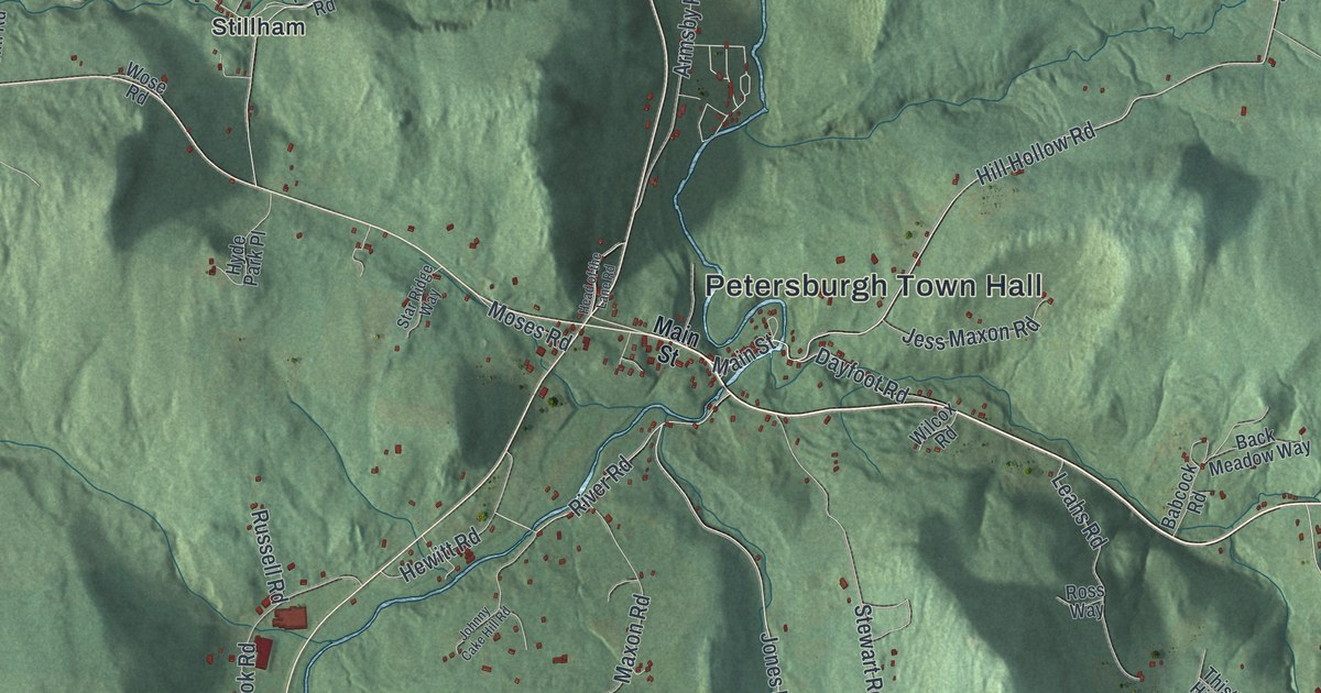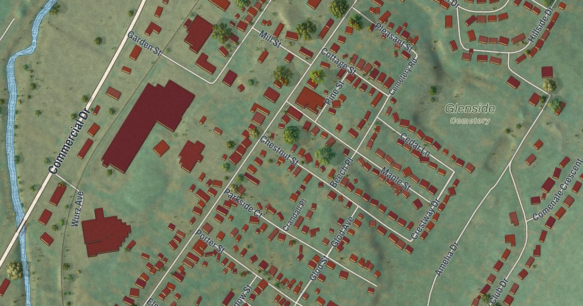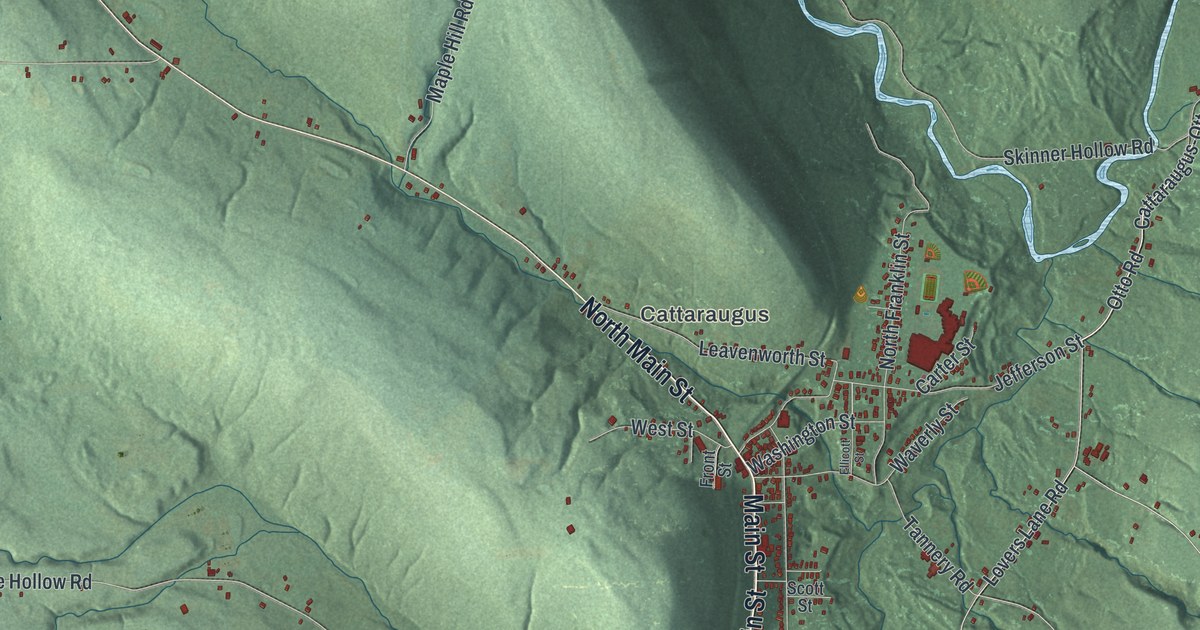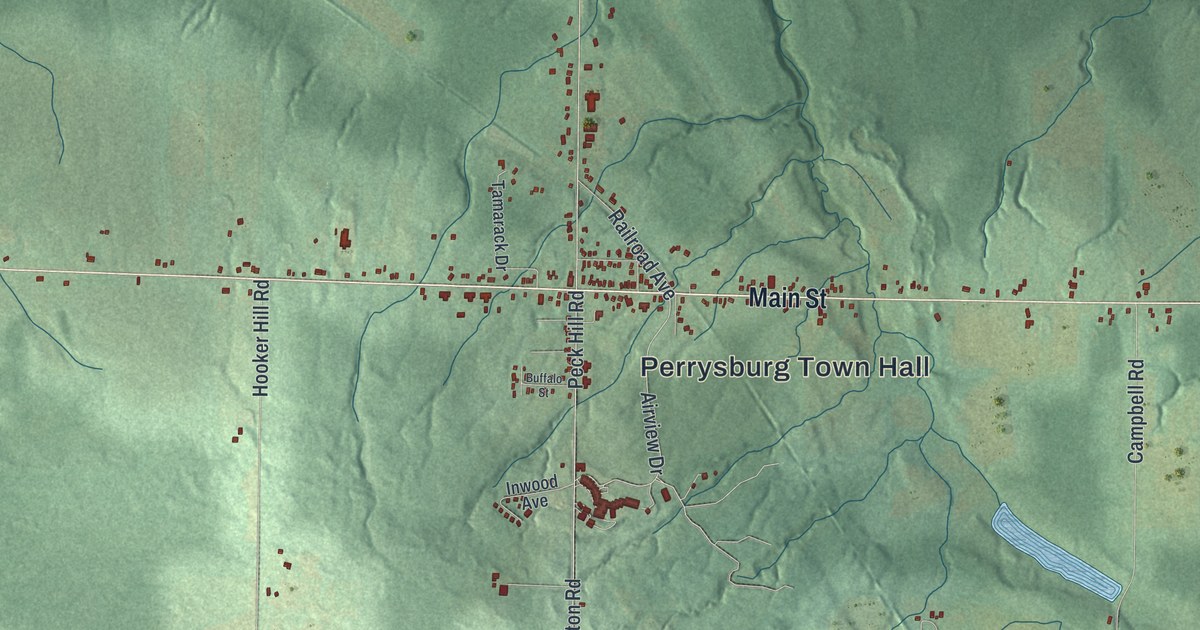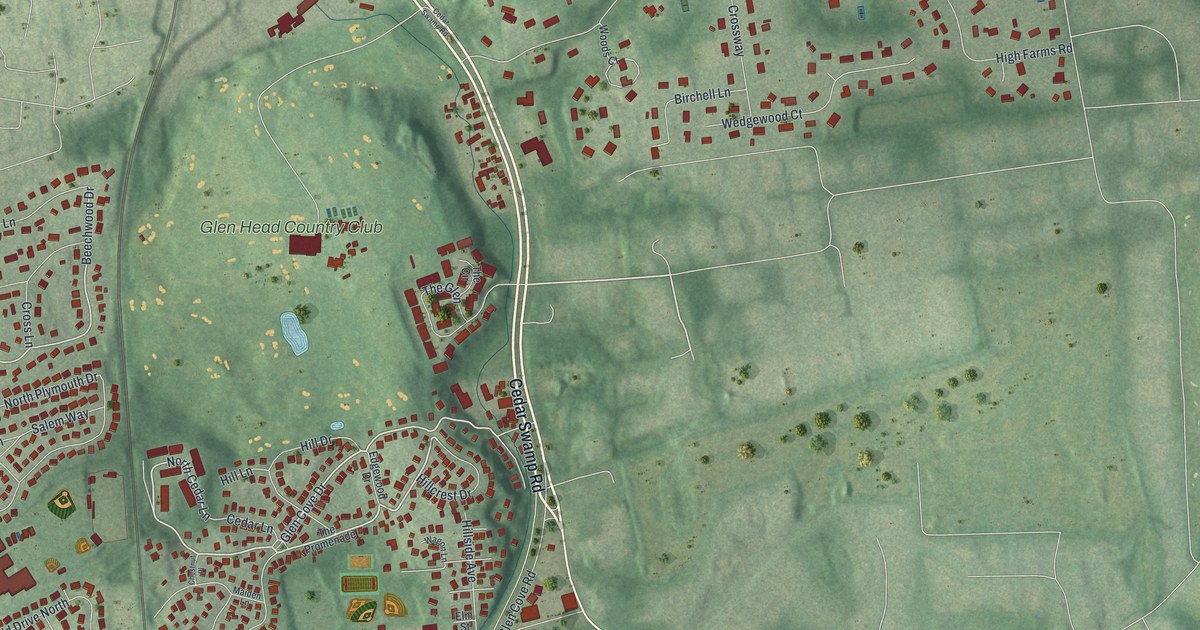
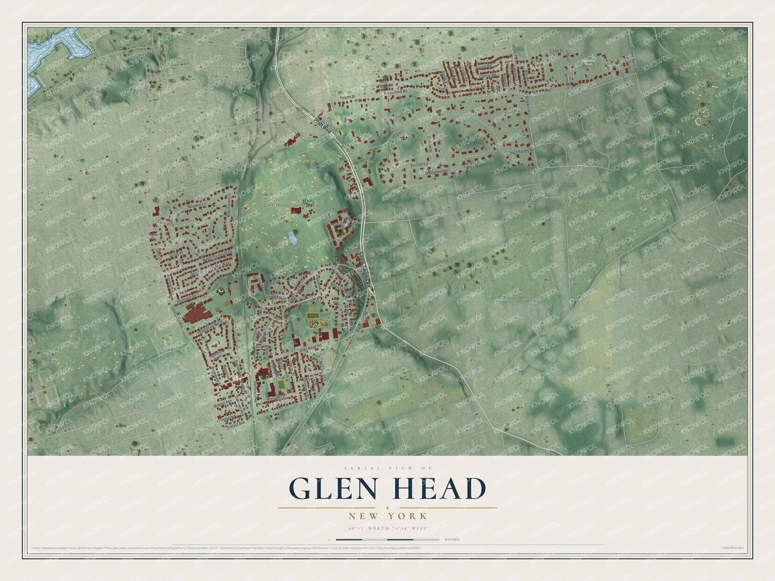
This beautifully detailed map of Glen Head, New York was created in 2026 using aerial imagery combined with modern topographical, census, street and landmark data. It's a modern aerial view of Glen Head in Nassau County, New York, that combines modern data with a vintage aesthetic. The roads feature printed names, and if you look closely you can find your exact house accurately shown in its correct location.
Explore an aerial view of Glen Head, New York
On this map you'll find Saunders Woods, Glen Head Country Club, Cedar Swamp Road, Pratt Boulevard, Glen Cove Drive, Beechwood Drive, North Cedar Lane, Railroad Avenue, Frost Pond Road, Glen Cove Avenue, High Farms Road, Glen Head Road, and more. Each red shape is a building, so zoom in on the preview and look for yours.
Glen Head is a community in Nassau County. The Census Bureau counted 4,837 people here in 2020. Glen Head sits about 2 miles east of Sea Cliff, 2 miles southwest of Matinecock and 2 miles north of Greenvale. The map prints the town name in its title panel, with the coordinates below it.
Take a closer look at the Glen Head map
Names on this map
These names are printed on this map.
Places: Saunders Woods and Glen Head Country Club.
Streets and roads: Cedar Swamp Road, Pratt Boulevard, Glen Cove Drive, Beechwood Drive, North Cedar Lane, Railroad Avenue, Frost Pond Road, Glen Cove Avenue, High Farms Road, Glen Head Road, Glen Cove Road, Locust Avenue.
More street names, A to Z
Ann Street, Anthony Marangiello Street, Bella Vista Avenue, Benjamin Street, Birchell Lane, Bowden Lane, Brookville Lane, Bryant Road, Caruso Lane, Cathy Court, Cedar Lane, Central Drive, Cherry Lane, Cherry Street, Chestnut Avenue, Chestnut Place, Collins Road, Cross Lane, Crossway, Darby Place, Depot Place, Dumond Place, East Avenue, Edgewood Drive, Ellen Court, Elm Street, Exeter Place, Falmouth Lane, Fourth Street, Glen Lane, Hillcrest Drive, Hill Drive, Hill Lane, Hillside Avenue, Keith Place, Lawrence Lane, Libby Drive, Linda Court, Magnolia Place, Maiden Lane, Maple Place, McCouns Lane, Meadow Lane, North Plymouth Drive, North Street, Oaklawn Avenue, Oak Valley Drive, Piping Rock Road, Plymouth Drive, Post Street, Prospect Street, Redwood Court, Rellim Drive, Rini Court, Rini Road, Robert Road, Ronan Road, Roosevelt Street, Roslyn Drive, Salem Way, Sandra Court, Sands Road, School Street, Sheppard Street, Smith Street, Tennis Court, Terry Court, The Circle, The Glen, The Promenade, Todd Drive North, Todd Drive South, Viola Drive, Wagon Lane, Wall Street, Walnut Avenue, Wedgewood Court, Woods Court.
See it on a wall
The Glen Head map as a framed print. Swipe for more.


Created by KNOWOL in 2026. The buildings are small red shapes, the roads carry their printed names, and shaded relief shows the shape of the land. The title panel reads "AERIAL VIEW OF GLEN HEAD, NEW YORK" with 40°51' NORTH 73°38' WEST.
It looks right in a kitchen, an office or a den, and it's a gift for anyone who grew up in Glen Head or moved away. Open the preview and find your street. See sizes and frames for the Glen Head map.