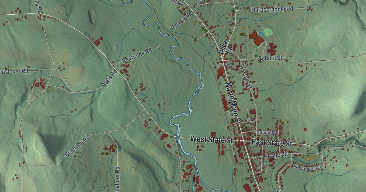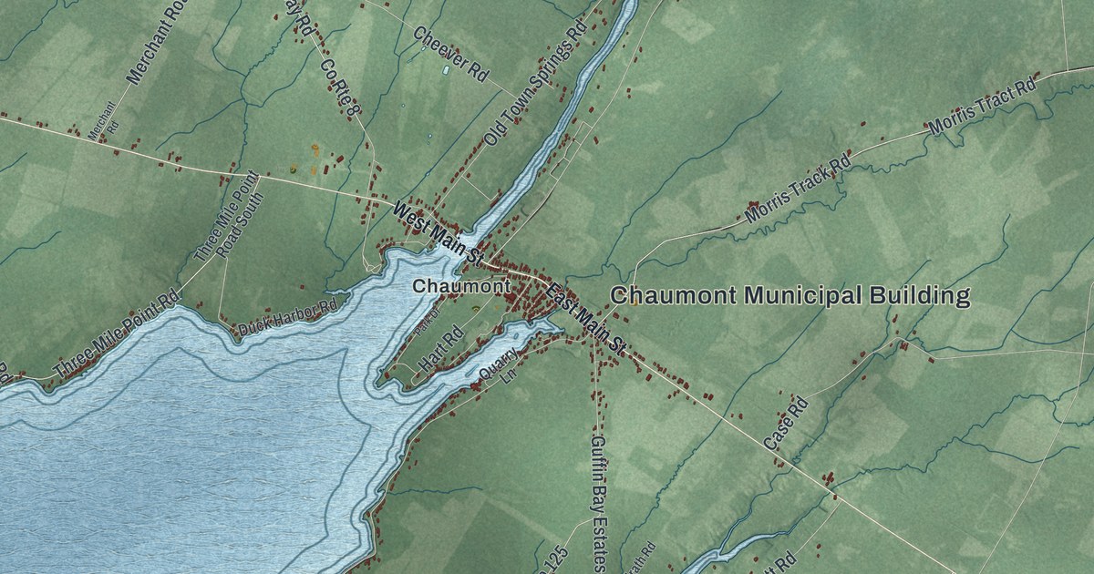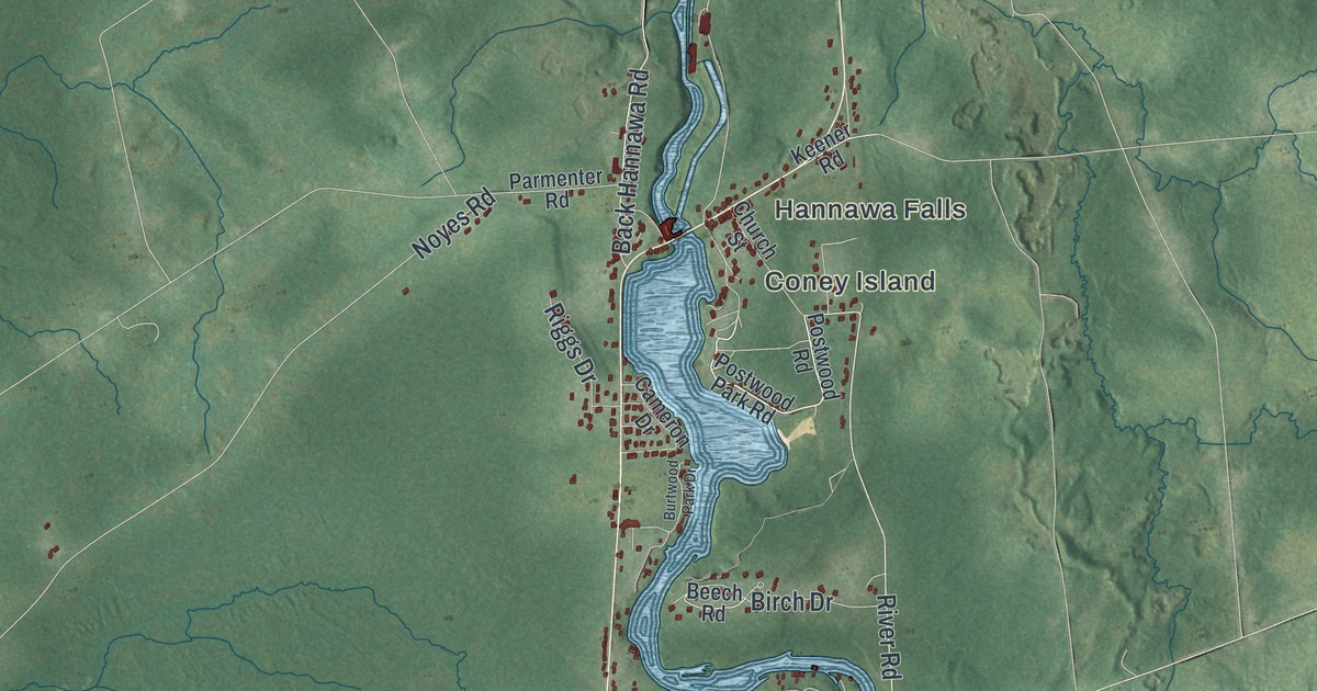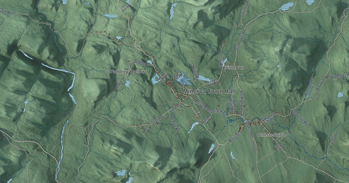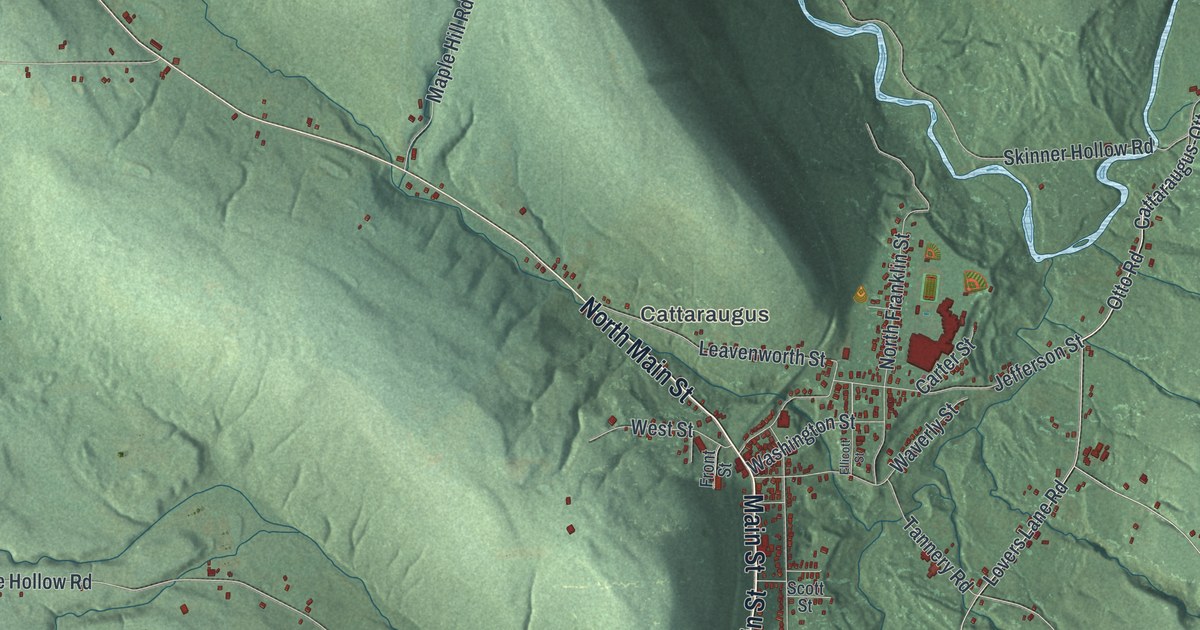
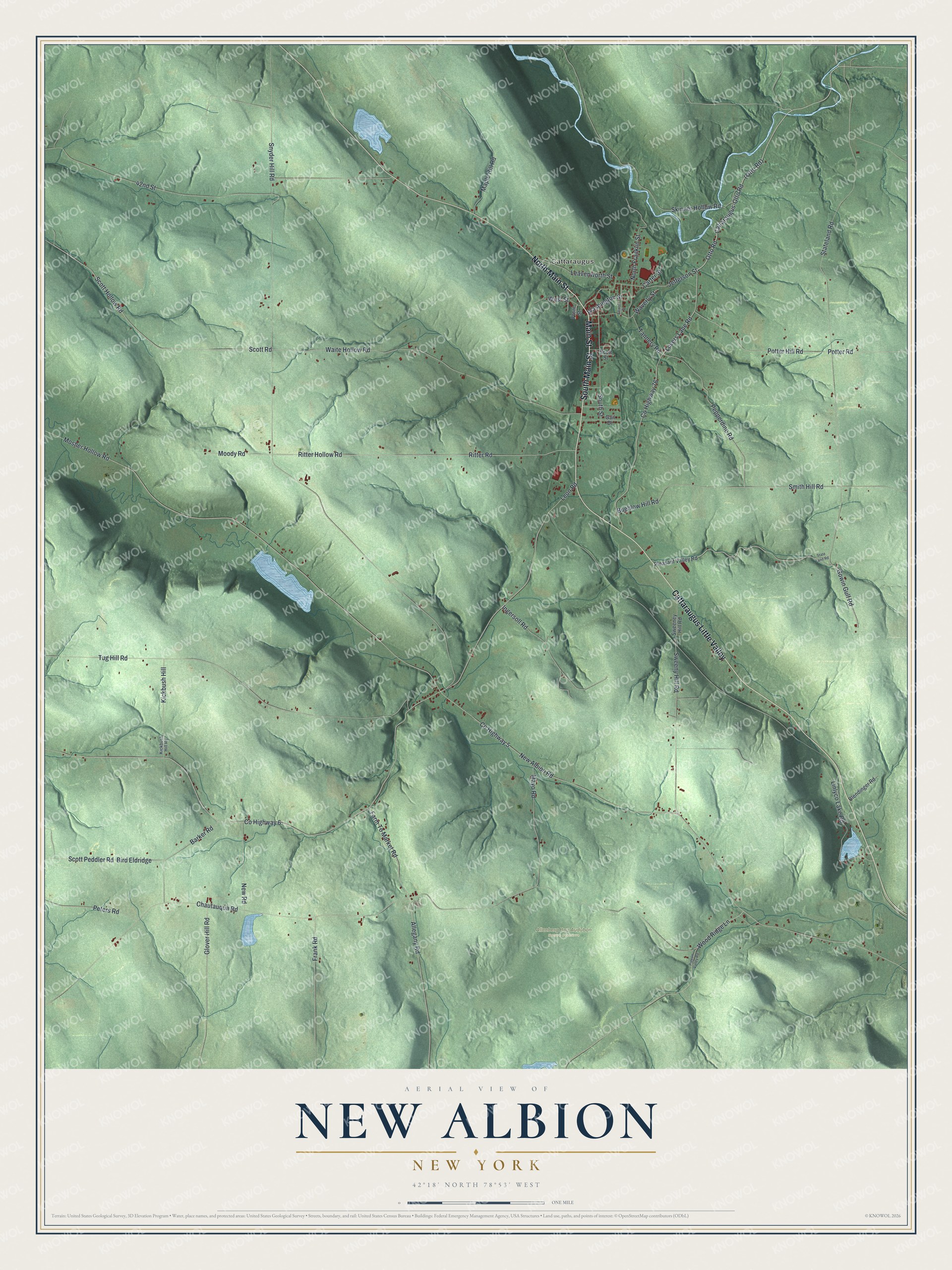
This beautifully detailed map of New Albion, New York was created in 2026 using aerial imagery combined with modern topographical, census, street and landmark data. It’s a one-of-a-kind view of New Albion that combines accurate data with a vintage aesthetic. The map shows every building in its true location, many of the roads carry their names, and the shaded topographic relief shows the shape of the land.
Explore an aerial view of New Albion, New York
On the map you’ll find (Otto Rd), Cattaraugus, and Allenberg Bog Audubon Nature Preserve, along with Main Street, Cattaraugus-Otto Road, Otto Road, Pepperdine Road, and more. If you look closely you can even find your house accurately drawn in its correct location. Zoom in on the preview to look for yours.
Did You Know?
The town was named after Albion in Orleans County, the home of some early settlers. Outsiders first settled here around 1818. The hamlet of New Albion was the oldest business center, and its first store opened in 1833. Later the village of Cattaraugus surpassed it, and the hamlet now has homes but no businesses.
Take a closer look at the New Albion map
Names on this map
These names are printed on this map.
Places: Cattaraugus and Allenberg Bog Audubon Nature Preserve.
Streets and roads: South Main Street, Main Street, North Main Street, Cattaraugus Little Valley, Cattaraugus-Otto Road, County Highway 6, Otto Road, Pepperdine Road, Waite Hollow Road, Scott Road, Leon Road, Chautauqua Road.
More street names, A to Z
42nd Street, Allegany Road, Barker Road, Bird Eldridge, Blendinger Road, Buehlow Hill Road, Carter Street, County Highway 5, County Highway 76, Ellicott Street, Farm To Market Road, Frank Road, Front Street, Gail Drive, Glover Hill Road, Gowin Gulf Road, Ingersoll Road, Jefferson Street, Kickbush Hill, Kickbush Hill Road, Leavenworth Street, Linlyco Lake Road, Lovers Lane Road, Maple Hill Road, Mayo Road, Moody Road, Mosher Hollow Road, New Albion Road, New Road, North Franklin Street, Peters Road, Pigeon Valley Road, Pleasant Valley Road, Potter Hill Road, Potter Road, Ritter Hollow Road, Ritter Road, Scott Hollow Road, Scott Peddler Road, Scott Street, Skinner Hollow Road, Smith Hill Road, Snyder Hill Road, South Street, Stateland Road, State Land Road, Sweeney Hill Road, Sweeny Hill Road, Tannery Road, Tug Hill Road, Washington Street, Waverly Street, West Street, Wood Ridge Lane.
See it on a wall
The New Albion map as a framed print. Swipe for more.


This beautifully detailed map of New Albion makes an attractive addition to your office, library, or den, and it can even be used to teach children the geography and history of the area. It also makes a great gift for someone who left New Albion and still calls it home. When you’re done exploring, click here to get your copy of the New Albion map.