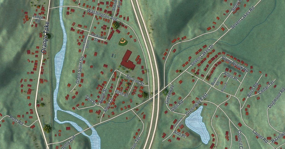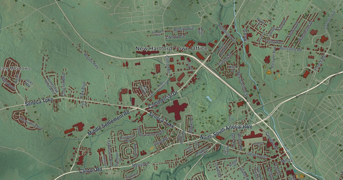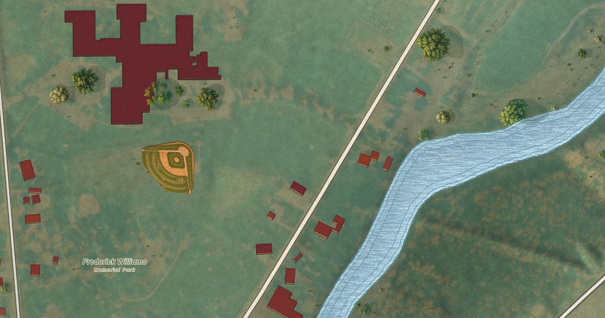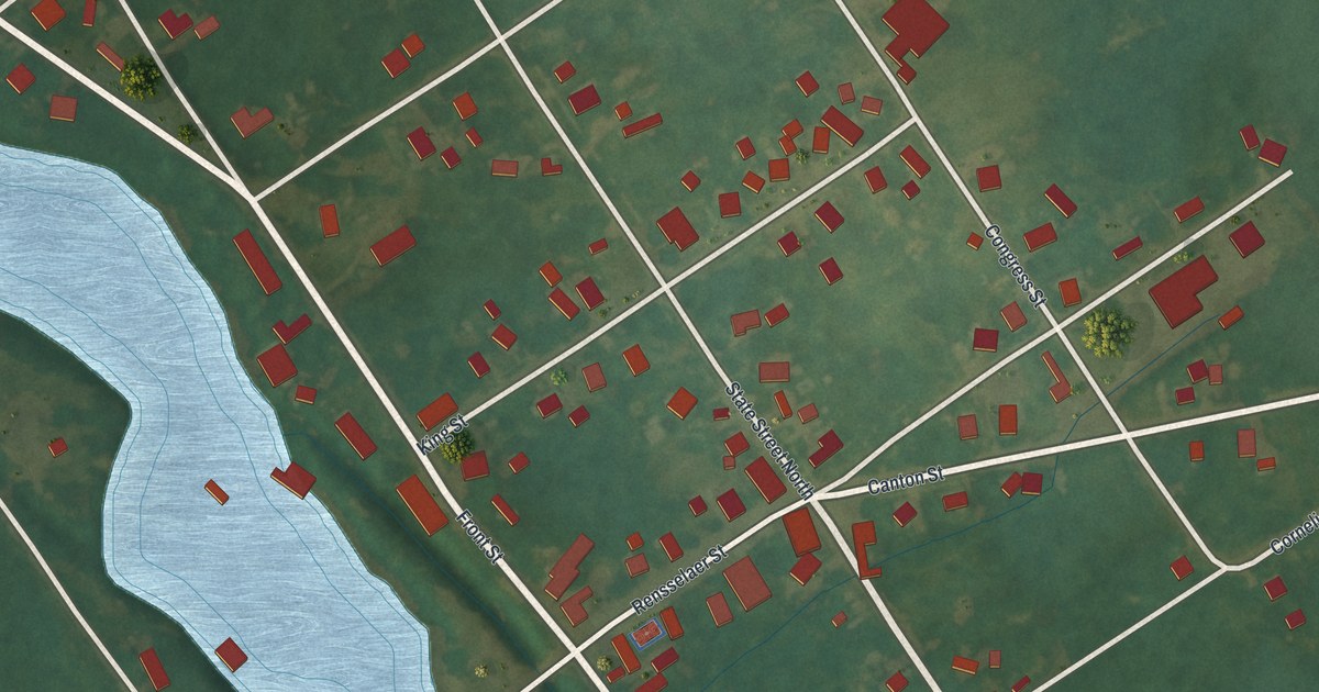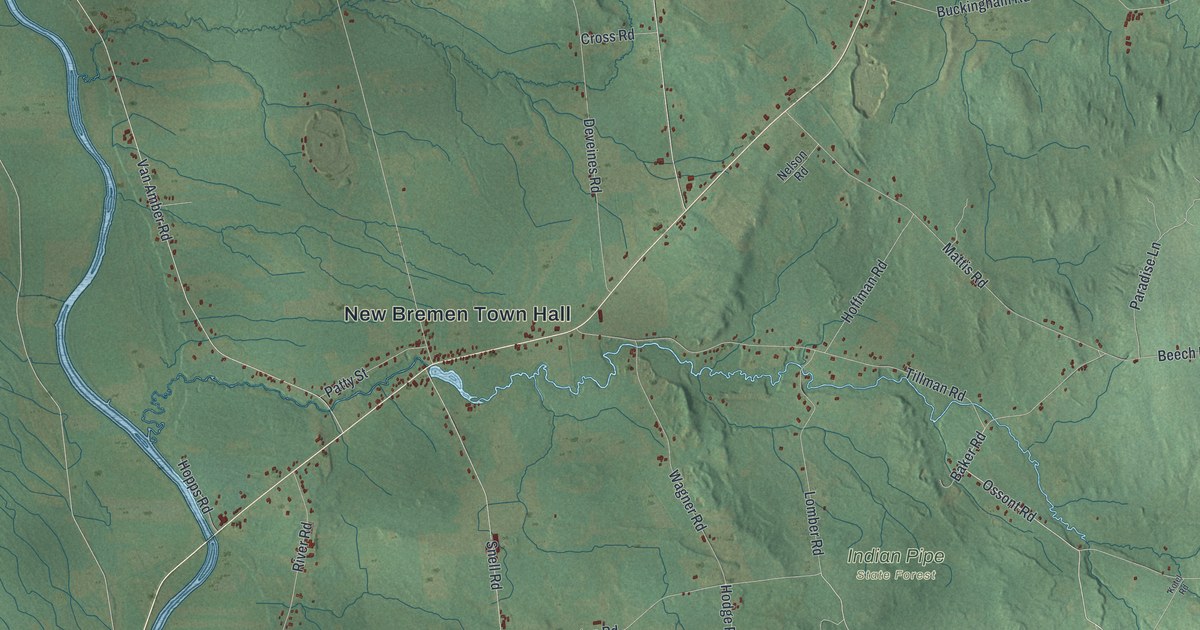
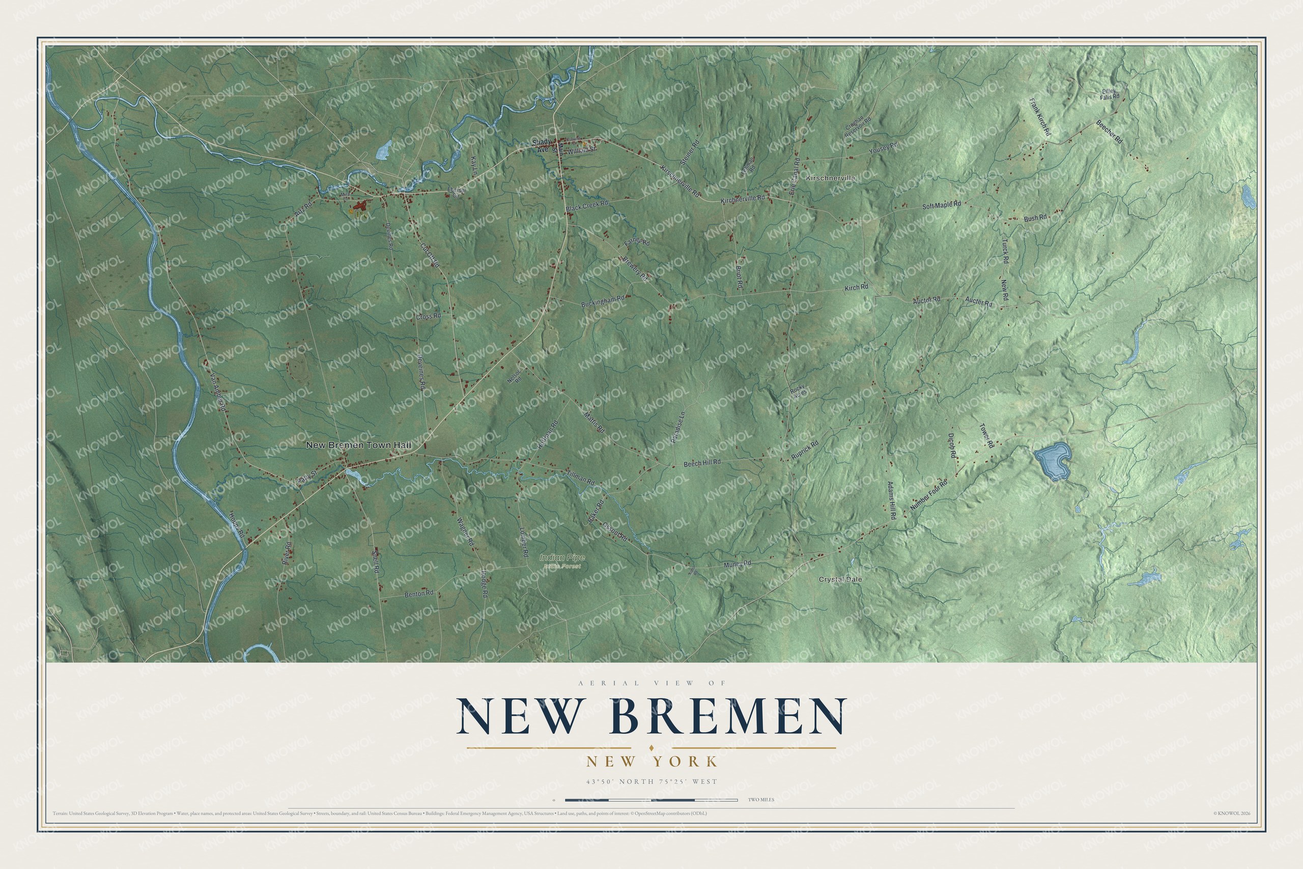
This beautifully detailed map of New Bremen, New York was created in 2026 using aerial imagery combined with modern topographical, census, street and landmark data. It’s a one-of-a-kind view of New Bremen that combines accurate data with a vintage aesthetic. The map shows every building in its true location, many of the roads carry their names, and the shaded topographic relief shows the shape of the land.
Explore an aerial view of New Bremen, New York
On the map you’ll find New Bremen Town Hall, Crystal Dale, Kirschnerville, and Indian Pipe State Forest, along with Shady Avenue, Main Street, Kirschnerville Road, Kirchnerville Road, and more. If you look closely you can even find your house accurately drawn in its correct location. Zoom in on the preview to look for yours.
Did You Know?
The town took its name from the German city of Bremen. Settlement began around 1798, and many later settlers came over from Germany. Charles Dayan laid out the community of New Bremen in 1826. The town itself formed in 1848 from parts of Croghan and Watson.
Take a closer look at the New Bremen map
Names on this map
These names are printed on this map.
Places: New Bremen Town Hall, Crystal Dale, Kirschnerville and Indian Pipe State Forest.
Streets and roads: Kirschnerville Road, Kirchnerville Road, Ossont Road, Baker Road, Cut Off Road, Aucter Road, Kirch Road, Deveines Road, Van Amber Road, Erie Canal Road, Soft Maple Road, Artz Road.
More street names, A to Z
Adams Hill Road, Auctor Road, Beecher Road, Beech Hill Road, Benton Road, Black Creek Road, Brewery Road, Briot Road, Buckingham Road, Bush Road, Convent Street, Croghan Reservoir Road, Cross Road, Devines Road, Dicob Road, Ebersol Circle, Effley Falls Road, Farney Road, Frank Kirch Road, Hodge Road, Hoffman Road, Hopps Road, Kay Lane, Kotel Road, Lehman Road, Lomber Road, Main Street, Mattis Road, Mira Lane, Muncy Road, Nelson Road, New Road, Number Four Road, Paradise Lane, Patty Street, River Road, Rocky Acres, Ruprick Road, Shady Avenue, Snell Road, Steiner Road, Tillman Road, Tower Road, Turck Road, Wagner Road, William Street, Yousey Road.
See it on a wall
The New Bremen map as a framed print. Swipe for more.


This beautifully detailed map of New Bremen makes an attractive addition to your office, library, or den, and it can even be used to teach children the geography and history of the area. It also makes a great gift for someone who left New Bremen and still calls it home. When you’re done exploring, click here to get your copy of the New Bremen map.