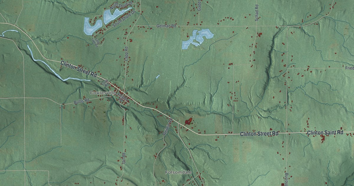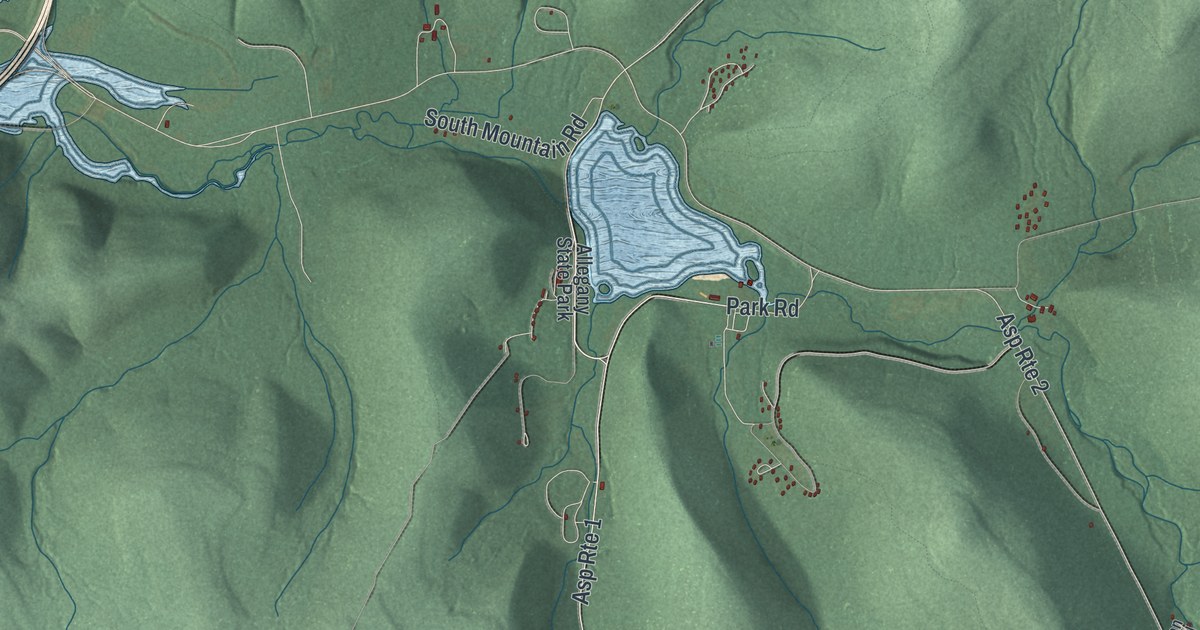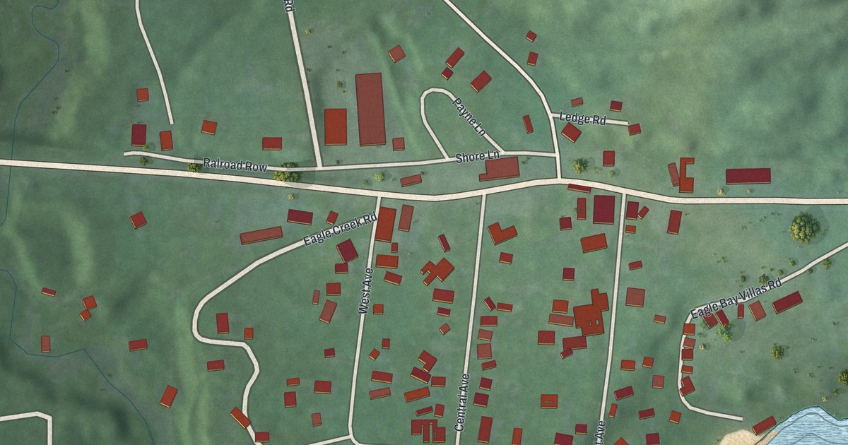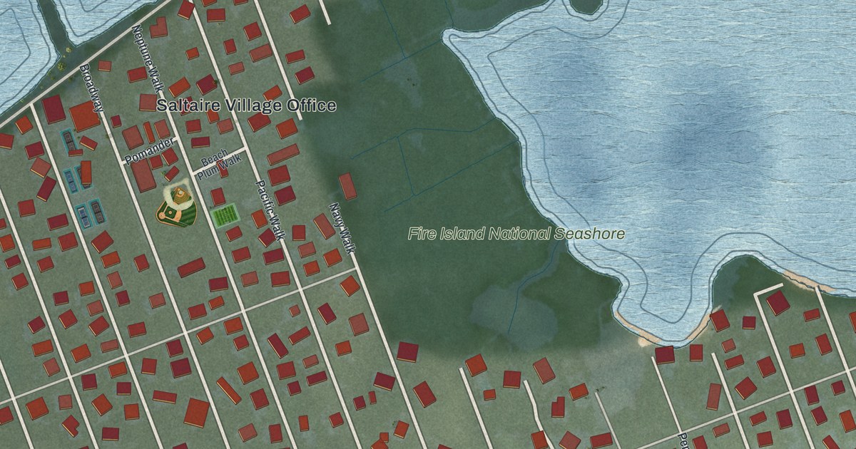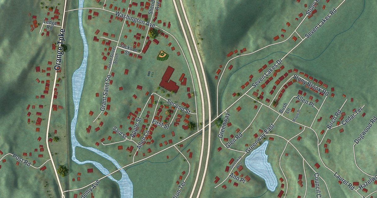
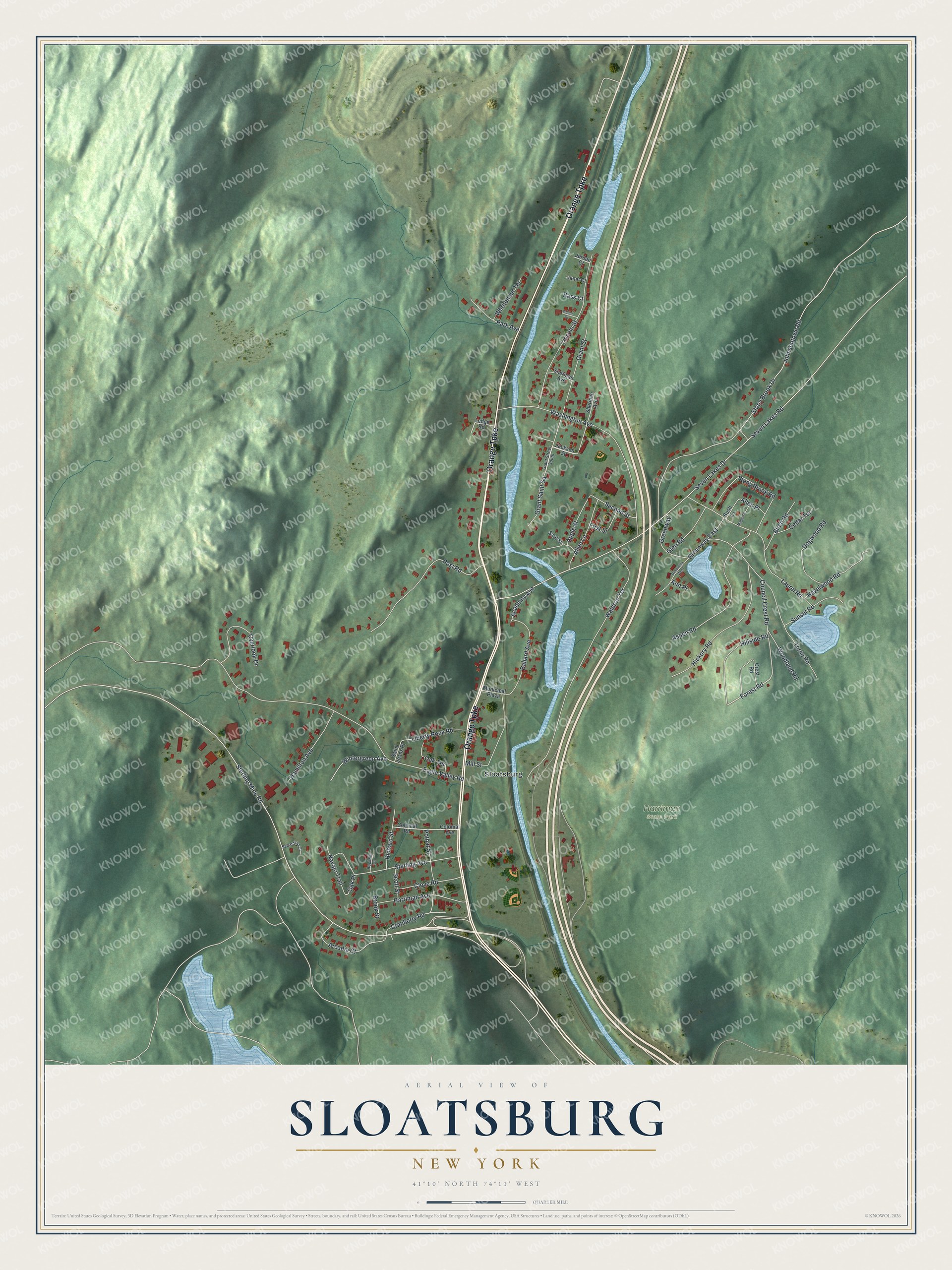
This beautifully detailed map of Sloatsburg, New York was created in 2026 using aerial imagery combined with modern topographical, census, street and landmark data. It’s a one-of-a-kind view of Sloatsburg that combines accurate data with a vintage aesthetic. The map shows every building in its true location, many of the roads carry their names, and the shaded topographic relief shows the shape of the land.
Explore an aerial view of Sloatsburg, New York
On the map you’ll find Harriman State Park, along with Orange Turnpike, Forest Road, Seven Lakes Drive, Seven Lakes Road, Sterling Mine Road, and more. If you look closely you can even find your house accurately drawn in its correct location. Zoom in on the preview to look for yours.
Did You Know?
Sloatsburg is named for the Sloat family. Isaac Van Deusen gave the land in 1763 to his daughter Marritge and her husband, Stephen Sloat. The couple built a stone house and kept a tavern on the Albany stagecoach road from New York. George Washington stayed there on June 6, 1779.
Take a closer look at the Sloatsburg map
Names on this map
These names are printed on this map.
Places: Harriman State Park and Sloatsburg.
Streets and roads: Orange Turnpike, Forest Road, Seven Lakes Drive, Seven Lakes Road, Eagle Valley Road, Sterling Mine Road, Johnsontown Road, Waldron Terrace, Washington Avenue, Aspen Road, Torne Road, Laurel Road.
More street names, A to Z
Academy Avenue, Adam Court, Allen Lane, Allen Place, Ann Place, Apple Street, Arcadia Court, Ballard Avenue, Bass Court, Birch Road, Brook Street, Bush Lane, Cedar Terrace, Clove Road, Colonial Avenue, Colonial Road, Council Crest Road, Cranberry Road, Crest Road, Dogwood Road, First Street, Glen Road, Grant Saint Square, Grant Street, Grant Street South, Greenway, Greenway East, Greenway West, Hamilton Avenue, Harriman Avenue, Hazelwood Road, Hickory Road, Hillside Road, Jackson Street, Janet Court, Jordan Court, Ledge Road, Liberty Rock Road, Lincoln Street, Maple Place, Mill Street, Municipal Plaza, Navajo Trail, Oak Place, Oak Terrace, Overlook Drive, Park Avenue, Post Road, Pothat Street, Richard Street, Rockhill Drive, Saint Joans Place, Sard Street, Scott Street, Sebastian Court, Second Street, Sheridan Avenue, Sherman Avenue, Sterling Avenue, Stony Brook Drive, Stony Brook Road, Sunset Road, Whritenour Terrace, Wintergreen Avenue, Woodland Road.
See it on a wall
The Sloatsburg map as a framed print. Swipe for more.


This beautifully detailed map of Sloatsburg makes an attractive addition to your office, library, or den, and it can even be used to teach children the geography and history of the area. It also makes a great gift for someone who left Sloatsburg and still calls it home. When you’re done exploring, click here to get your copy of the Sloatsburg map.