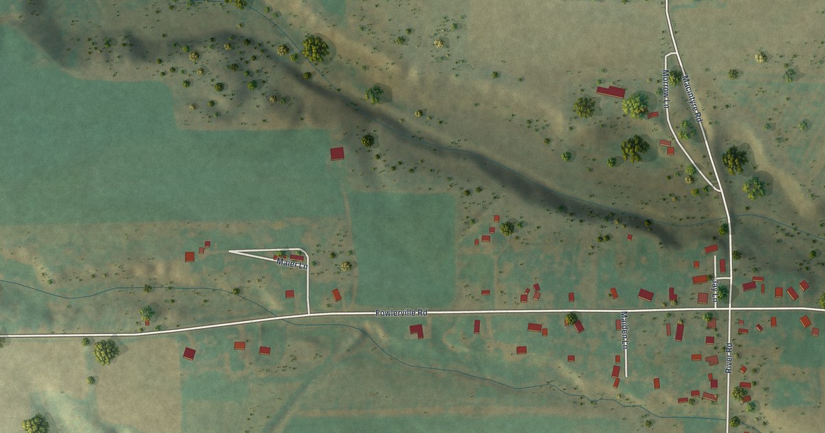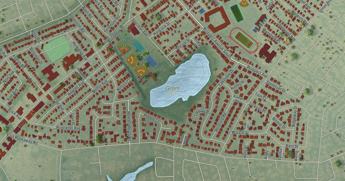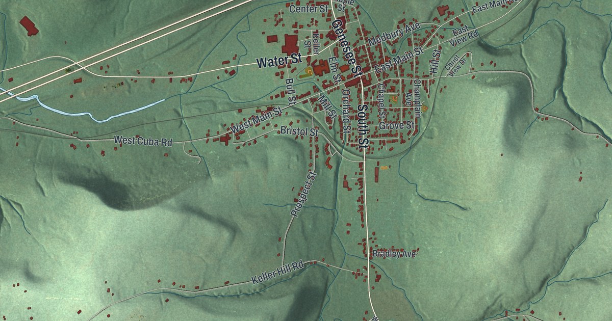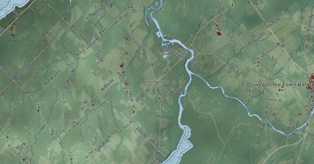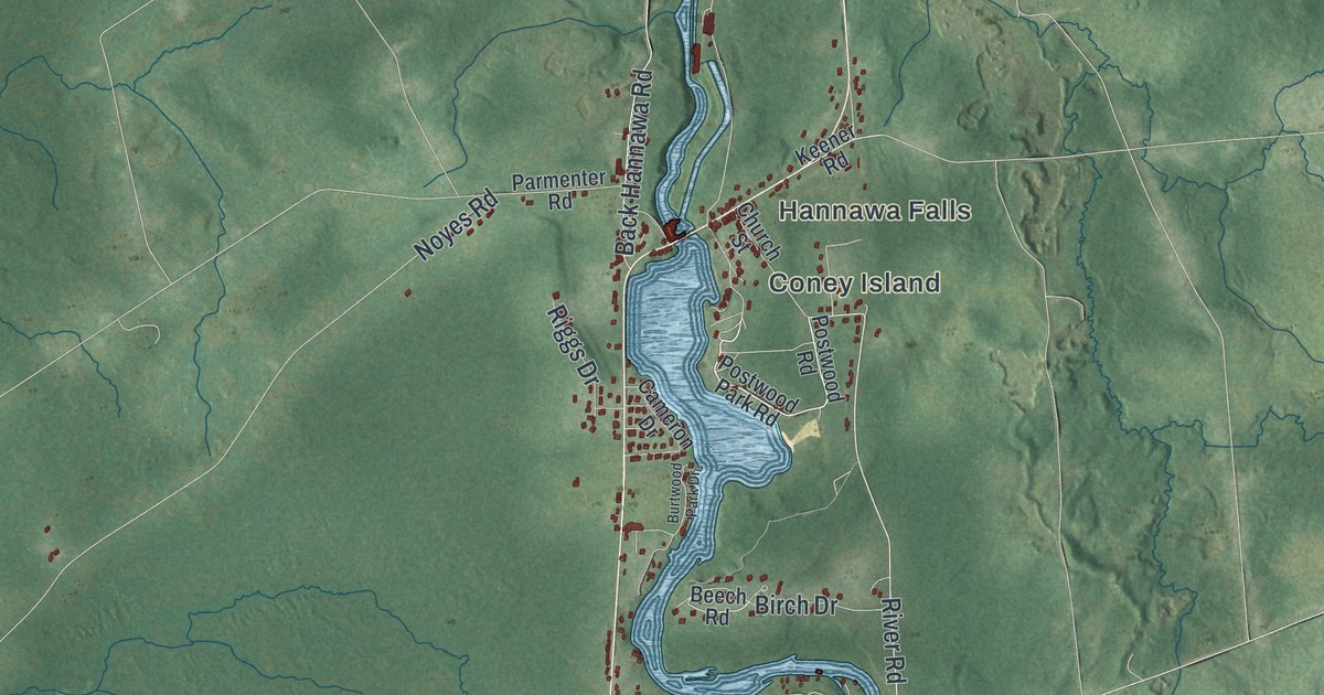
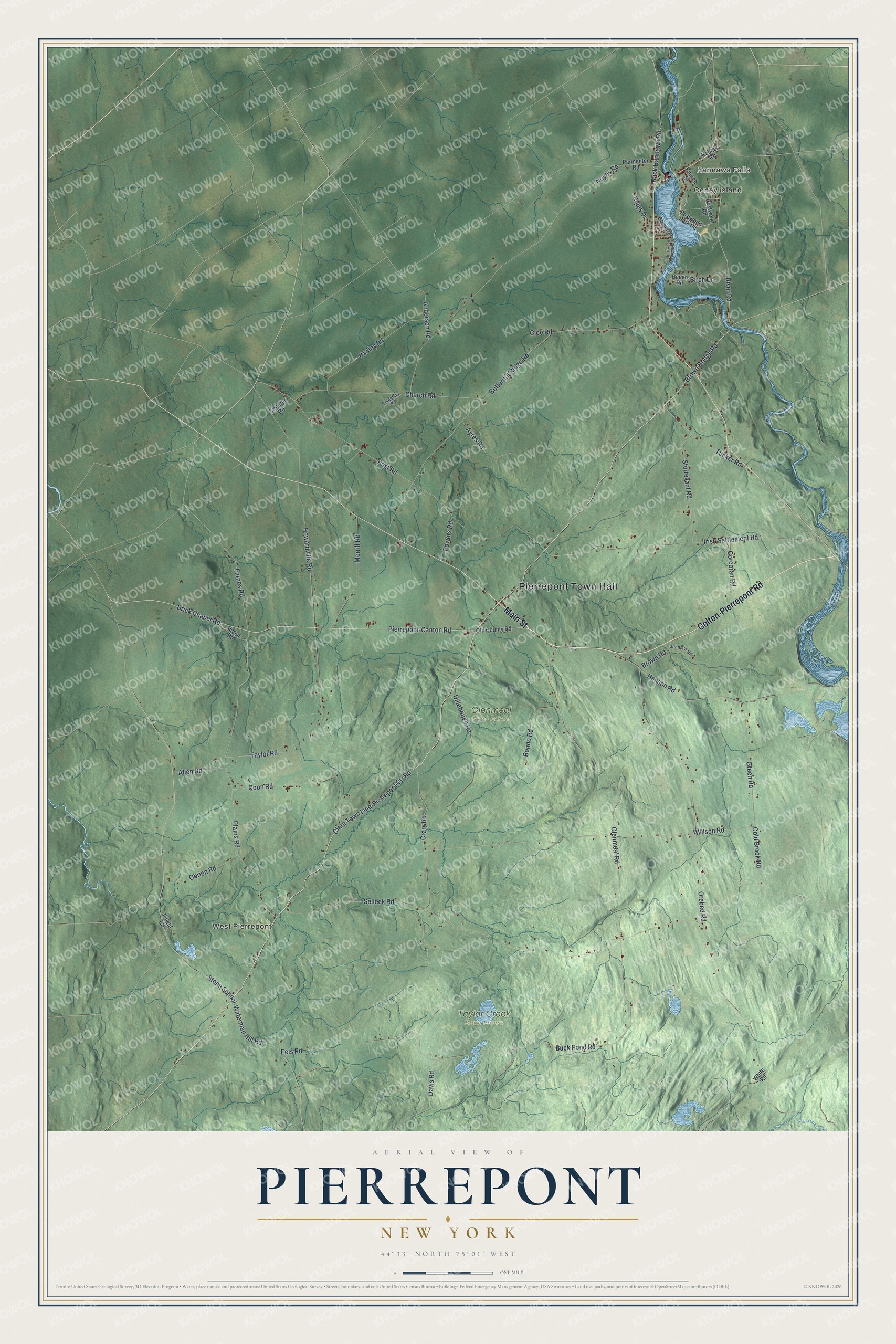
This beautifully detailed map of Pierrepont, New York was created in 2026 using aerial imagery combined with modern topographical, census, street and landmark data. It’s a one-of-a-kind view of Pierrepont that combines accurate data with a vintage aesthetic. The map shows every building in its true location, many of the roads carry their names, and the shaded topographic relief shows the shape of the land.
Explore an aerial view of Pierrepont, New York
On the map you’ll find Pierrepont Town Hall, Hannawa Falls, Coney Island, West Pierrepont, Glenmeal State Forest, and Taylor Creek State Forest, along with Main Street, Colton-Pierrepont Road, Clare Town Line-Pierrepont Ctr Road, River Road, and more. If you look closely you can even find your house accurately drawn in its correct location. Zoom in on the preview to look for yours.
Did You Know?
Pierrepont takes its name from Hezekiah Pierrepont, who once owned much of its land. The first settlers came around 1806, part of a wave of New Englanders moving into upstate New York. The town was formed in 1818 from parts of Russell and Potsdam.
Take a closer look at the Pierrepont map
Names on this map
These names are printed on this map.
Places: Pierrepont Town Hall, Hannawa Falls, Coney Island, West Pierrepont, Glenmeal State Forest and Taylor Creek State Forest.
Streets and roads: Main Street, Colton-Pierrepont Road, Clare Town Line-Pierrepont Ctr Road, River Road, Glenmeal Road, Brown Bridge Road, Buck Pond Road, Pierrepont-Canton Road, Crary Road, Irish Settlement Road, Post Road, Back Hannawa Road.
More street names, A to Z
Aldous Road, Allen Road, Anderson Road, Ayres Road, Beech Road, Birch Drive, Bonno Road, Brick Chapel Road, Brown Road, Burtwood Park Drive, Butternut Ridge Road, Cameron Drive, Cemetery Road, Church Road, Church Street, Cloe Road, Cold Brook Road, Coon Road, Corcoran Road, Davis Road, Dillabough Road, Eels Road, Farnes Road, Fifield Road, Green Road, Hadley Road, Hanson Road, Howardville Road, Johnson Road, Keener Road, Morrill Road, Noyes Road, Obrien Road, Old County Road, Orebed Road, Parmenter Road, Plains Road, Postwood Park Road, Postwood Road, Powers Road, Riggs Drive, Selleck Road, Stone School-Waterman Hill Road, Streeter Road, Sturtevant Road, Taylor Road, Tucker Road, White Road, Wilson Road.
See it on a wall
The Pierrepont map as a framed print. Swipe for more.


This beautifully detailed map of Pierrepont makes an attractive addition to your office, library, or den, and it can even be used to teach children the geography and history of the area. It also makes a great gift for someone who left Pierrepont and still calls it home. When you’re done exploring, click here to get your copy of the Pierrepont map.