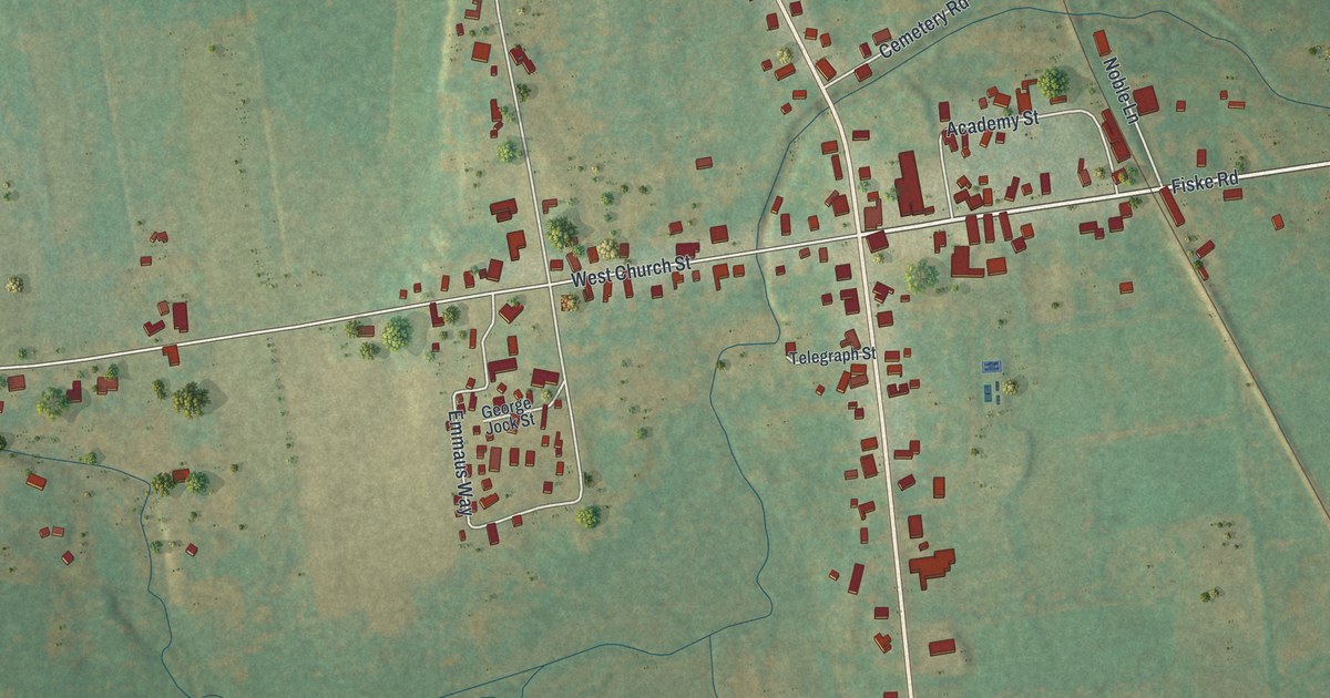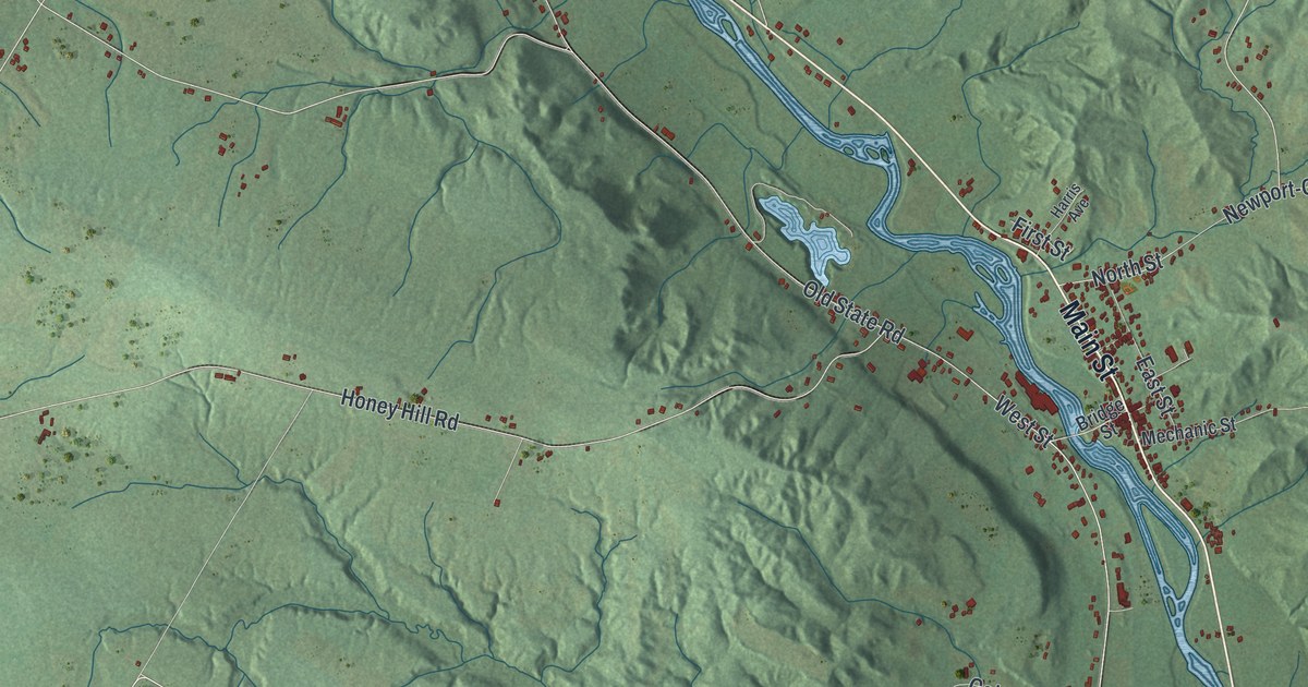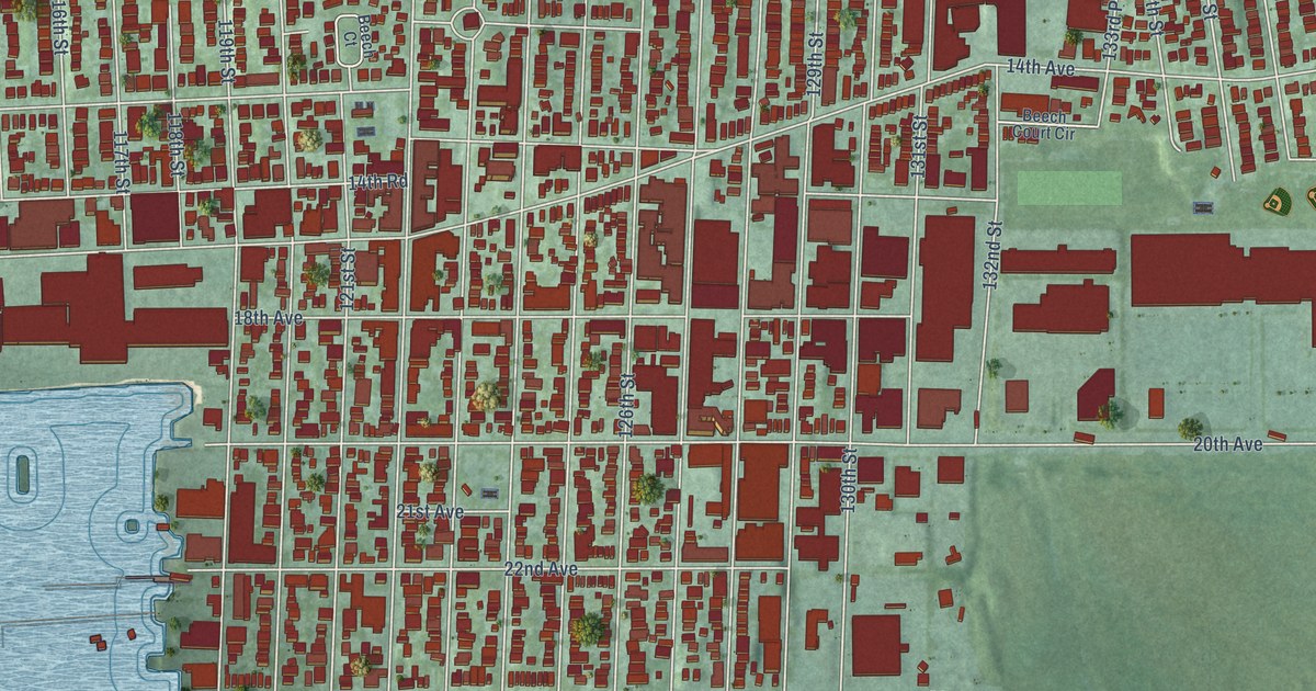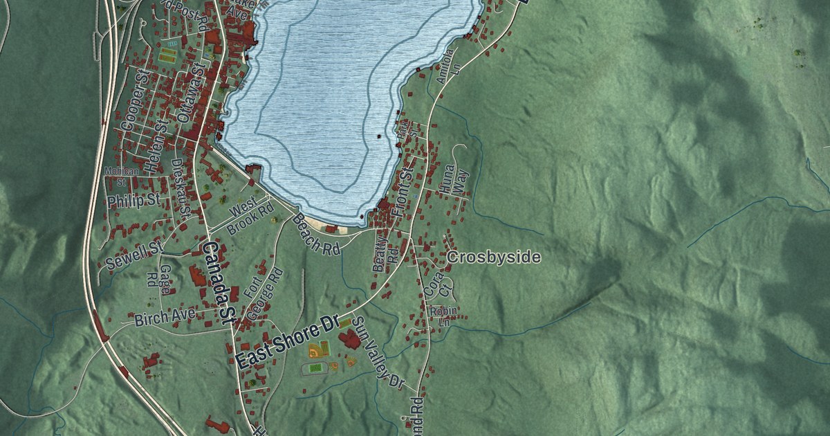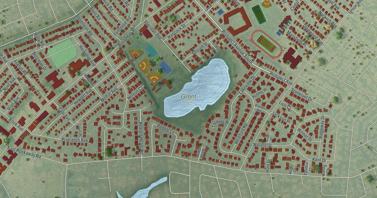
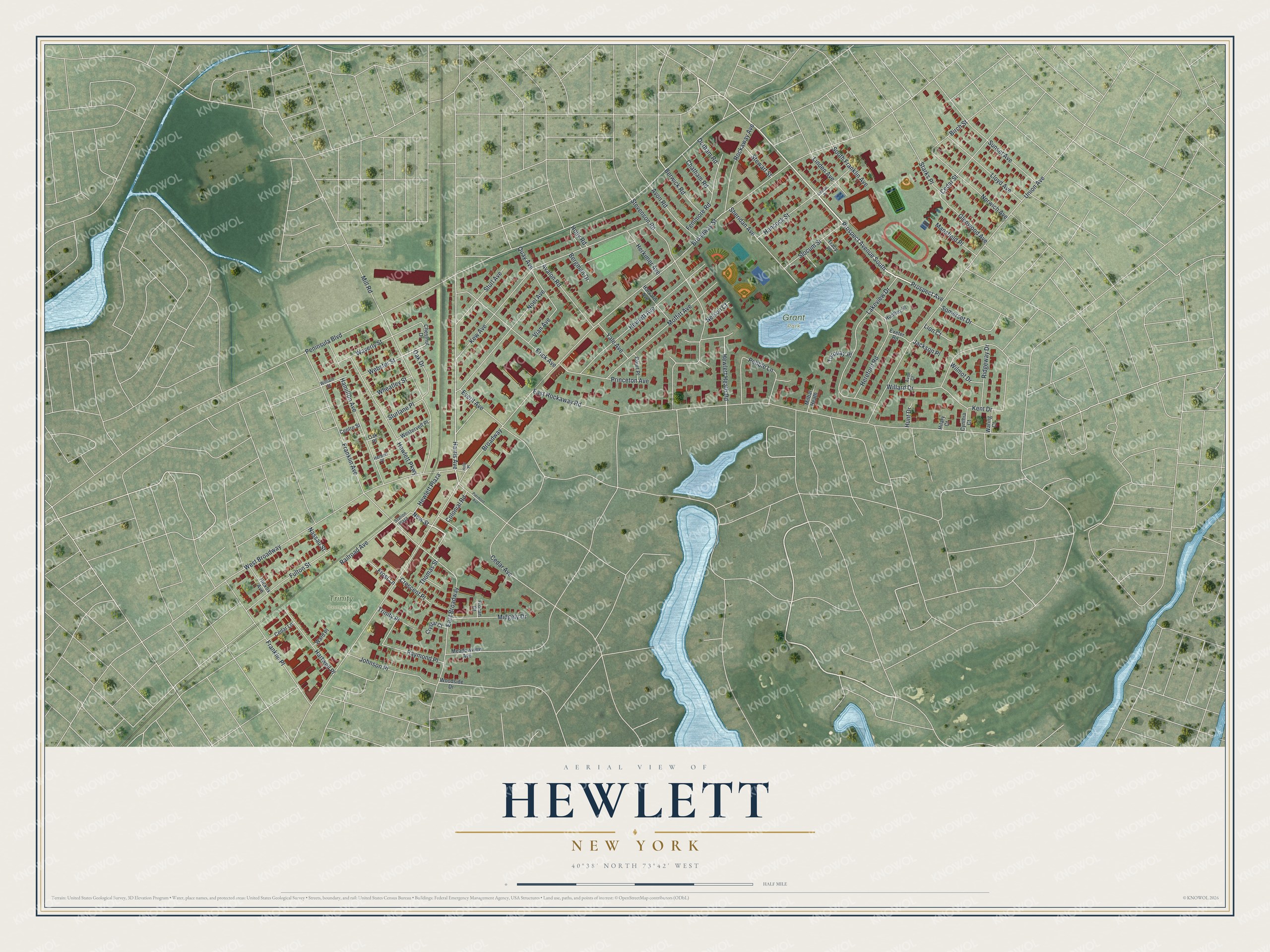
This beautifully detailed map of Hewlett, New York was created in 2026 using aerial imagery combined with modern topographical, census, street and landmark data. It’s a one-of-a-kind view of Hewlett that combines accurate data with a vintage aesthetic. The map shows every building in its true location, many of the roads carry their names, and the shaded topographic relief shows the shape of the land.
Explore an aerial view of Hewlett, New York
On the map you’ll find Grant Park and Trinity Cemetery, along with Prospect Avenue, New Street, Hewlett Heath Road, Harris Avenue, Peninsula Boulevard, and more. If you look closely you can even find your house accurately drawn in its correct location. Zoom in on the preview to look for yours.
Take a closer look at the Hewlett map
Names on this map
These names are printed on this map.
Places: Grant Park and Trinity Cemetery.
Streets and roads: Prospect Avenue South, Prospect Avenue, New Street, Hewlett Heath Road, Harris Avenue, Broadway, Peninsula Boulevard, East Rockaway Road, Union Avenue, Franklin Avenue, West Broadway, Stevenson Road.
More street names, A to Z
Avalon Road, Avon Court, Avon Road, Bergman Drive, Berwick Road, Birch Street, Broadway Street, Cedar Avenue, Cedar Lane, Cedar Street, Central Place, Centre Street, Chatham Road, Chestnut Drive, Colonial Road, Court Place, Crescent Place, Crystal Court, Cynthia Court, Durham Road, East Broadway, Erick Avenue, Everit Avenue, Exeter Road, Fenimore Road, Franklin Place, Frocan Court, Frost Lane, Fulton Street, Glenwood Avenue, Hamilton Avenue, Hancock Street, Hartwell Place, Harvard Avenue, Herbert Place, Hereford Road, Herkimer Avenue, Hewlett Avenue, Hewlett Parkway, Hewlett Plaza, Hickox Avenue, Hilary Court, Holly Place, Holly Road, Hunt Drive, Huntley Place, Jackson Place, Johnson Place, Kent Drive, Kew Avenue, Lakeview Drive, Linden Avenue, Lion Court, Lloyd Avenue, Mansfield Place, Meadowview Avenue, Midgely Drive, Milbar Heath, Mill Road, Moffitt Avenue, Nassau Street, Nelson Court, Noel Avenue, Norwich Avenue, Oak Drive, Oak Place, Pebble Lane, Piermont Avenue, Princeton Avenue, Quay Avenue, Railroad Avenue, Raymond Place, Ridgeway Drive, Rockaway Avenue, Sheridan Avenue, Slocum Street, Somerset Drive, South Franklin Avenue, Starks Place, Station Plaza, Stewart Street, Sturlane Place, Sturl Avenue, Sunset Avenue, Thomas Street, Torquay Place, Tracy Place, Trinity Place, Vian Avenue, Ward Place, Waring Court, Waverly Street, Webster Street, Westervelt Place, Wheatley Street, Willard Drive, William Street, Wilmot Drive, Woodside Drive, Yale Avenue.
See it on a wall
The Hewlett map as a framed print. Swipe for more.


This beautifully detailed map of Hewlett makes an attractive addition to your office, library, or den, and it can even be used to teach children the geography and history of the area. It also makes a great gift for anyone who grew up in Hewlett or moved away. When you’re done exploring, click here to get your copy of the Hewlett map.