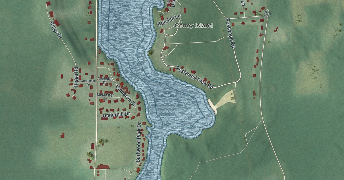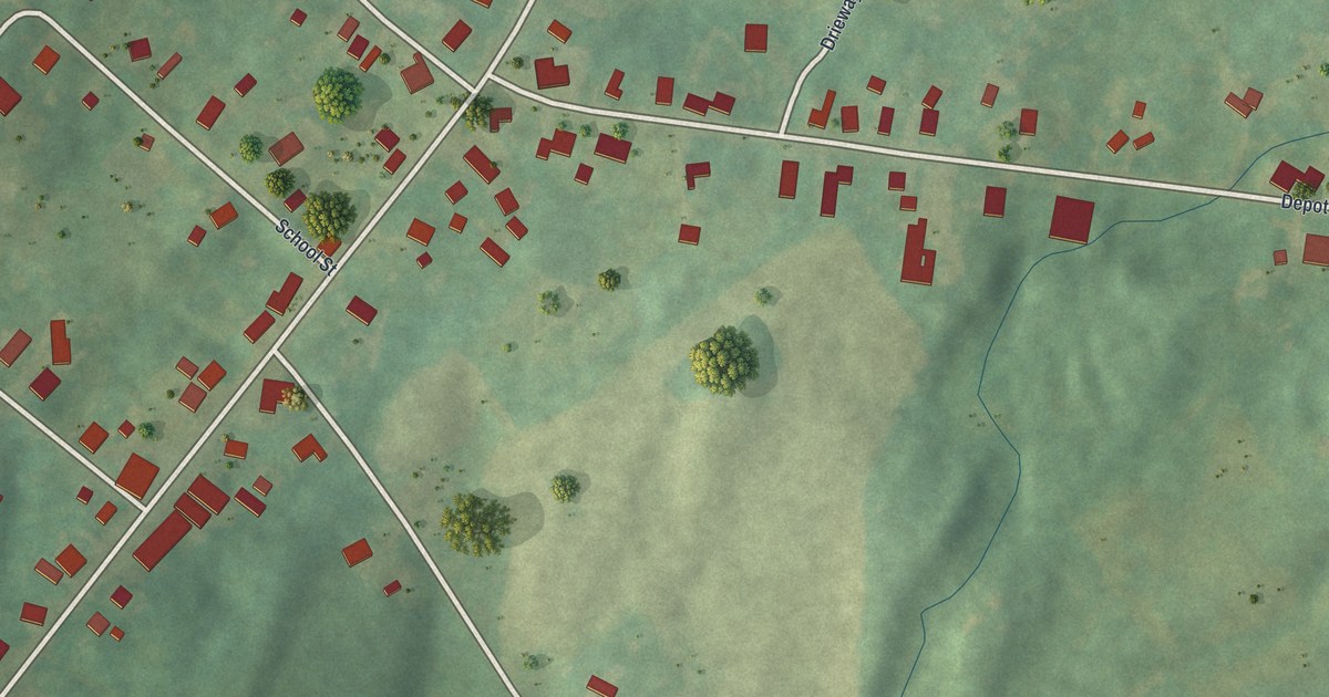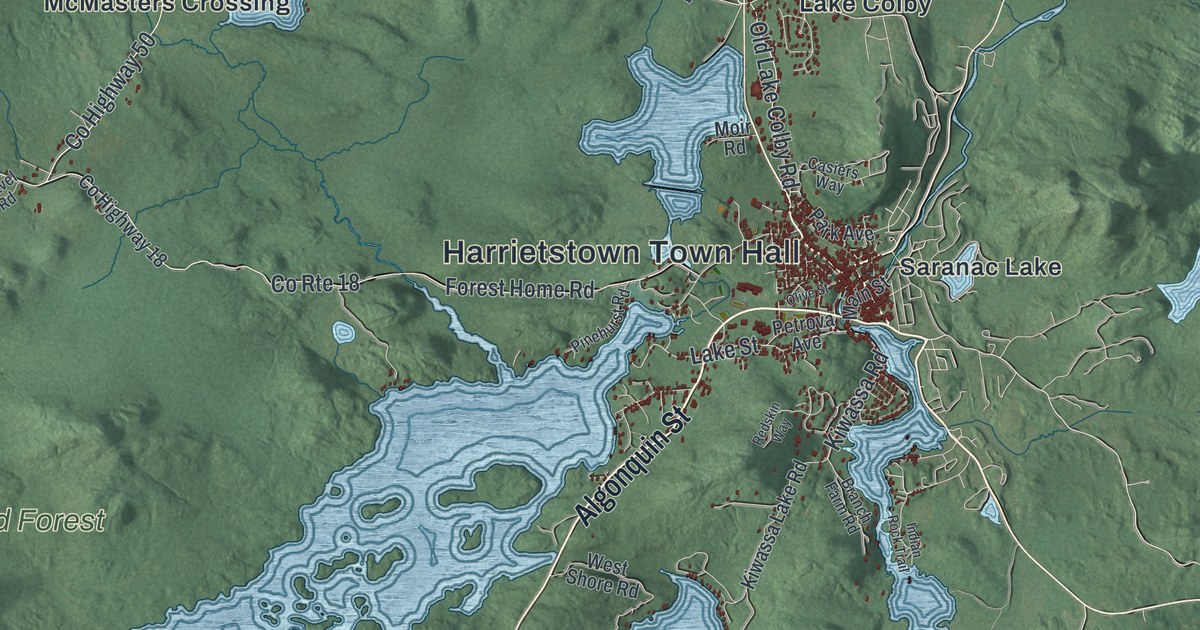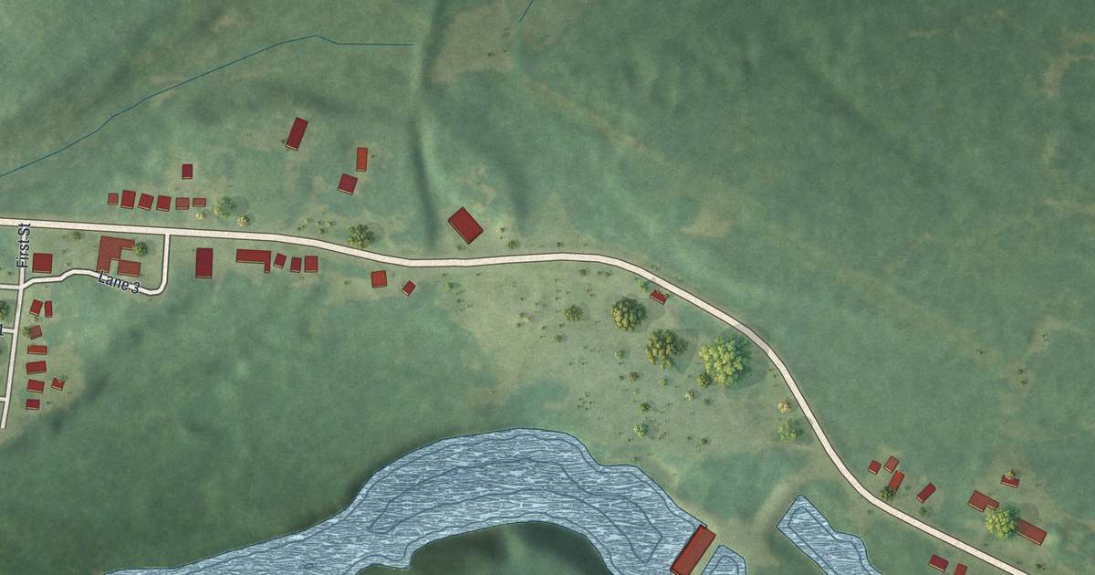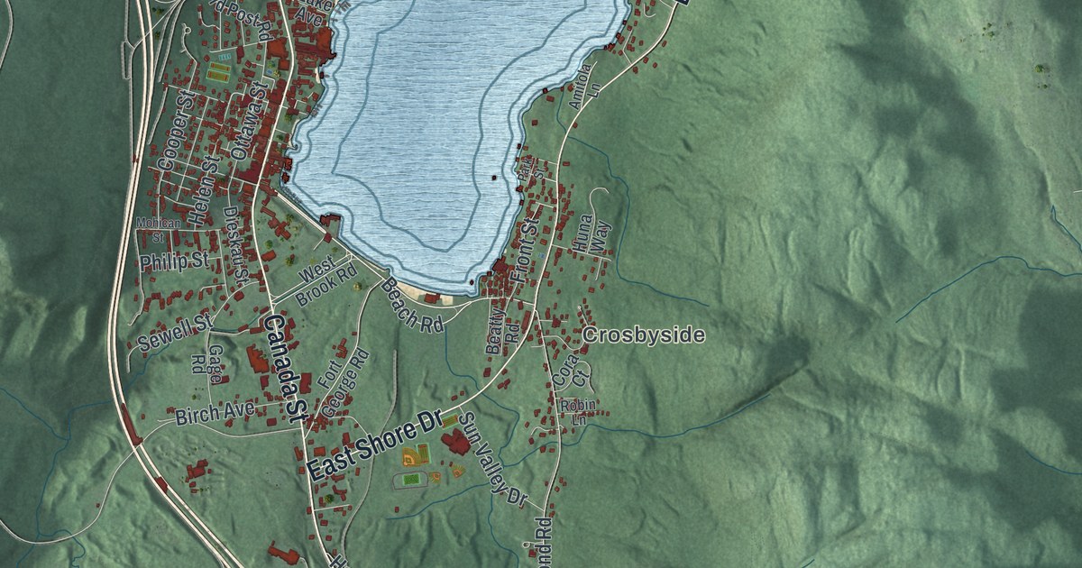
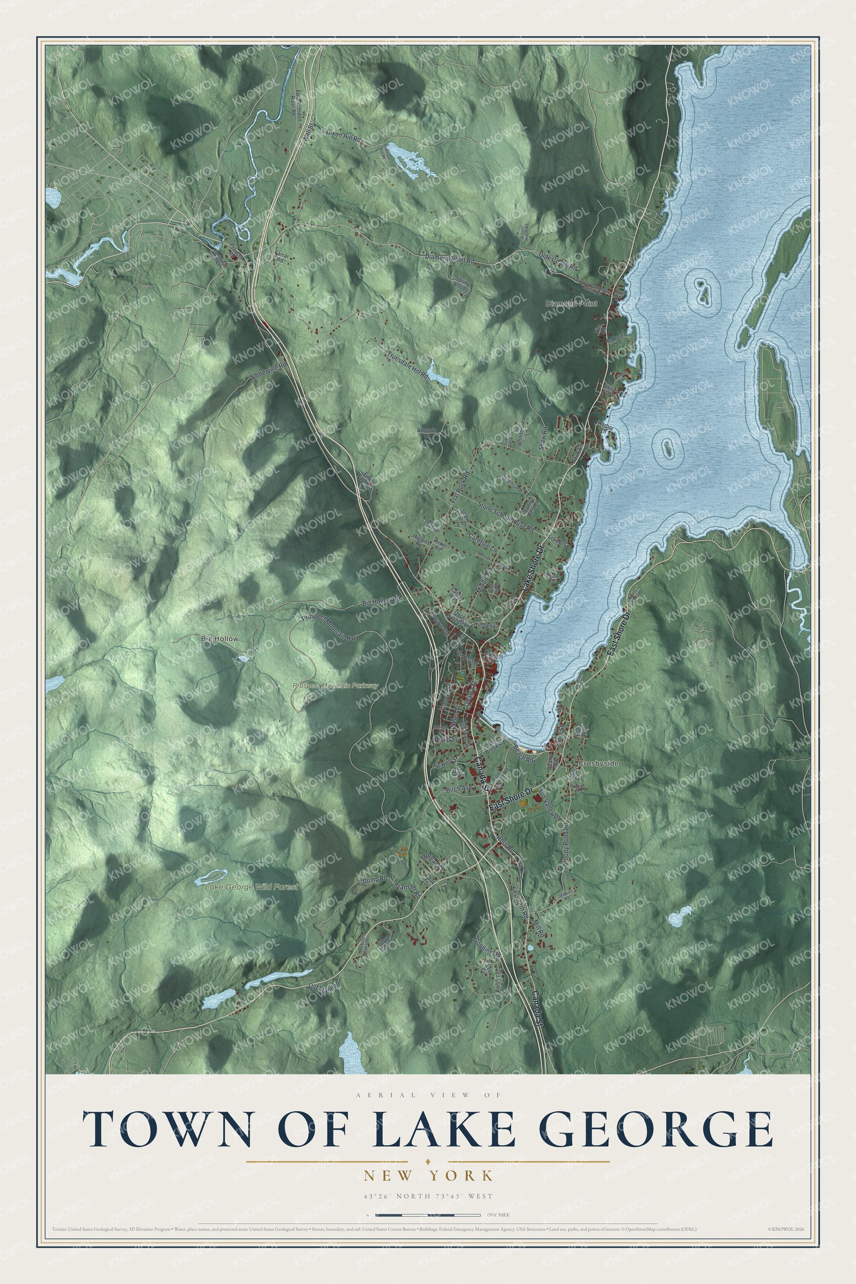
This beautifully detailed map of the Town of Lake George, New York was created in 2026 using aerial imagery combined with modern topographical, census, street and landmark data. It’s a one-of-a-kind view of the Town of Lake George that combines accurate data with a vintage aesthetic. The map shows every building in its true location, many of the roads carry their names, and the shaded topographic relief shows the shape of the land.
Explore an aerial view of the Town of Lake George, New York
On the map you’ll find Diamond Point, Crosbyside, Big Hollow, and Lake George Wild Forest, along with Canada Street, Lake Shore Drive, Shore Drive, Beach Road, Goggins Road, and more. If you look closely you can even find your house accurately drawn in its correct location. Zoom in on the preview to look for yours.
Did You Know?
In 1940 the village of Lake George was the seat of Warren County and a year-round sports center. All summer, shoppers and strollers crowded its streets. Wealthy New Yorkers flew seaplanes off the lake and commuted to their offices by air four or five days a week. That’s from the 1940 WPA guide to New York.
Take a closer look at the Town of Lake George map
Names on this map
These names are printed on this map.
Places: Diamond Point, Crosbyside, Big Hollow, Lake George Wild Forest and Prospect Mountain Parkway.
Streets and roads: Canada Street, Lake Shore Drive, East Shore Drive, Beach Road, Goggins Road, Dixon Hill Road, Middle Road, Dump Road, Prospect Mountain Highway, Truesdale Hill Road, Diamond Point Road, Big Hollow Road.
More street names, A to Z
Amanda Drive, Amitola Lane, Antlers Drive, Autumn Woods Road, Beatty Road, Birch Avenue, Bloody Pond Road, Carefree Lane, Carey Road, Christina Court, Cooper Street, Cora Court, Cotherman Drive, Deer Run Road, Diamond Point-Bakers Crossing Road, Dickinson Hill Road, Dieskau Street, East Schroon River Road, Ellsworth Road, Farrar Road, Finkle Farm Road, Flat Rock Road, Fort George Road, Front Street, Gage Road, Halada Drive, Harbor Lane, Harrington Hill Road, Helen Street, Higgins Road, Hill Drive, Horn Road, Hubbell Lane, Huna Way, In Haven Lane, Jenkins Road, Kirker Road, Konci Terrace, Lake Avenue, Lake Road, Lee Circle, Lisa Lane, Mill Road, Mohawk Mount Road, Mohican Street, Morgan Court, Mountain Drive, Oak Lane, Oak Street, Olde Coach Road, Old Military Road, Old Post Road, Old State Road, Old State Road South, Ottawa Street, Park Street, Paulist Fathers Road, Philip Street, Prosser Road, Robin Lane, Sewell Street, Shaw Road, Sherrick Drive, Skara Brae Drive, Smokey Bear Lane, Somerville Road, Spring Woods, Stone Schoolhouse Road, Sunny West Lane, Sun Valley Drive, Thomson Avenue, Transfer Road, Travis Trail, Upper Hubbell Lane, Vito Road, Wall Street, West Brook Road, White Tail Trail, Wonderview Lane.
See it on a wall
The Lake George map as a framed print. Swipe for more.


This beautifully detailed map of the Town of Lake George makes an attractive addition to your office, library, or den, and it can even be used to teach children the geography and history of the area. It also makes a great gift for someone who left the Town of Lake George and still calls it home. When you’re done exploring, click here to get your copy of the Town of Lake George map.