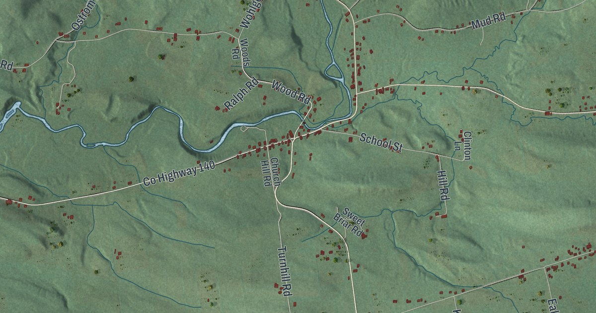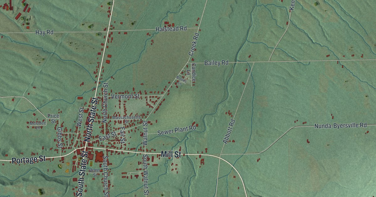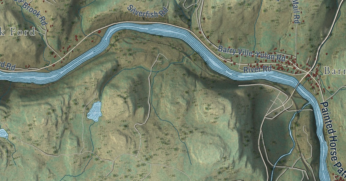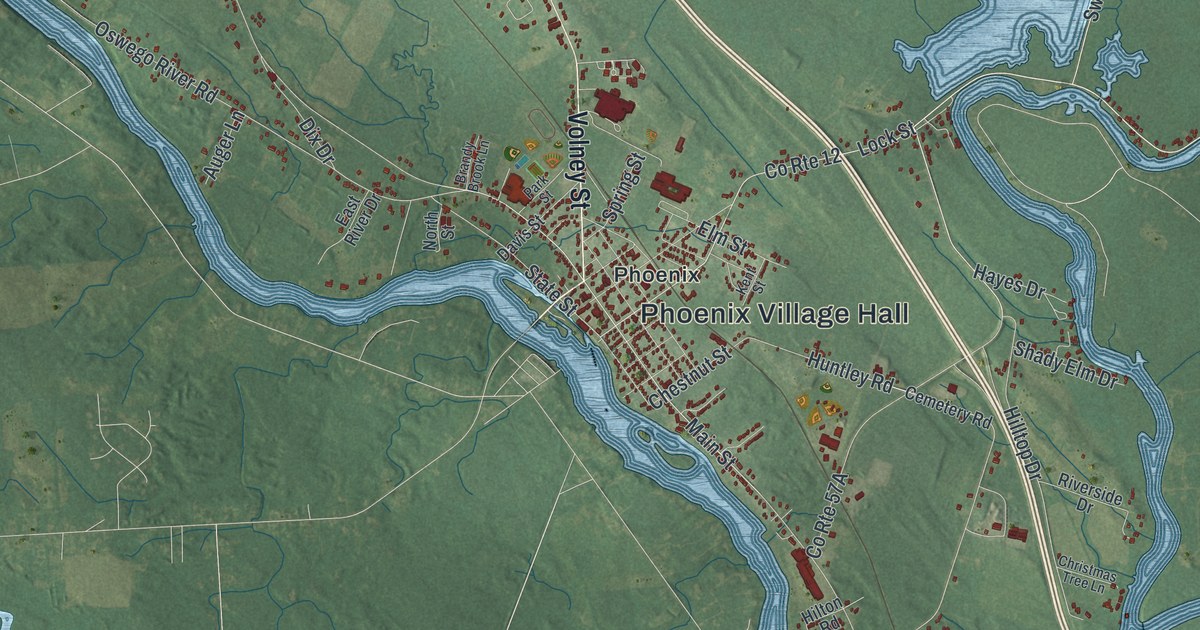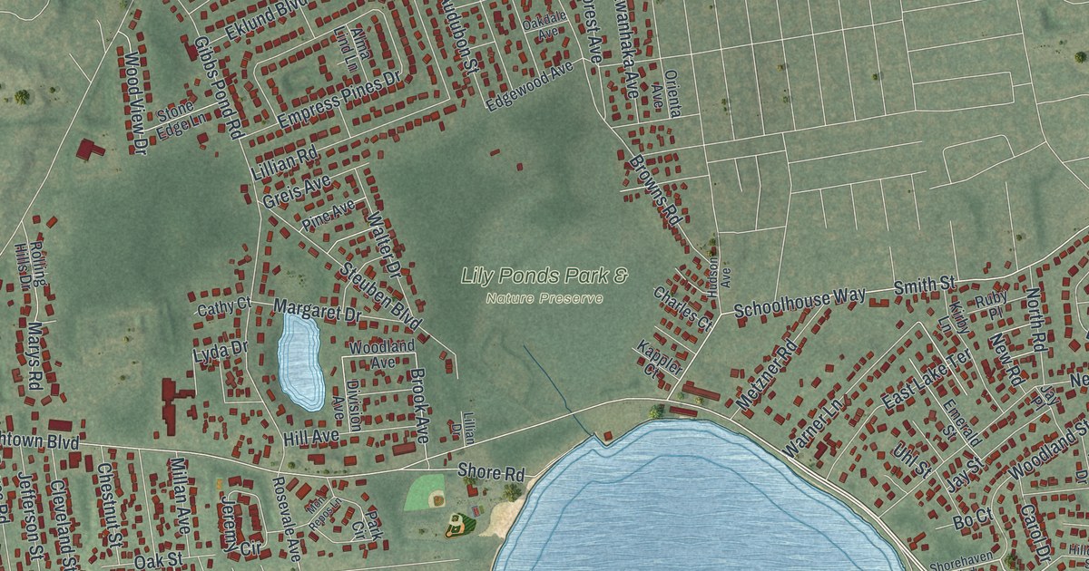
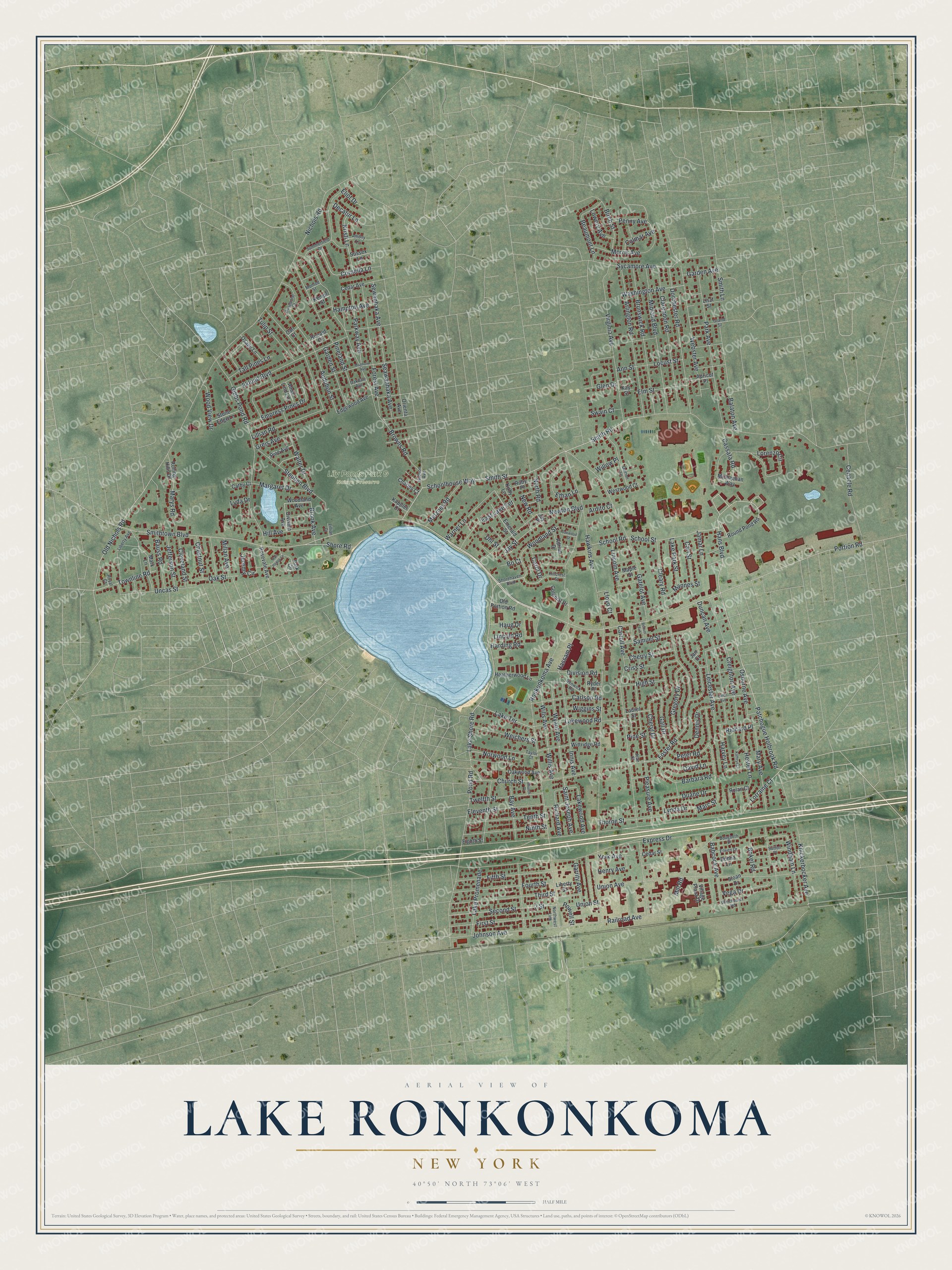
This beautifully detailed map of Lake Ronkonkoma, New York was created in 2026 using aerial imagery combined with modern topographical, census, street and landmark data. It’s a one-of-a-kind view of Lake Ronkonkoma that combines accurate data with a vintage aesthetic. The map shows every building in its true location, many of the roads carry their names, and the shaded topographic relief shows the shape of the land.
Explore an aerial view of Lake Ronkonkoma, New York
On the map you’ll find Lily Ponds Park & Nature Preserve, along with Portion Road, Lake Shore Road, Patchogue Holbrook Road, Hans Boulevard, Smith Street, and more. If you look closely you can even find your house accurately drawn in its correct location. Zoom in on the preview to look for yours.
Did You Know?
The hamlet sits beside the largest lake on Long Island, which shares its name. No streams feed the water, so its level rises and falls with the water table. The shoreline made the hamlet a resort town until a population boom in the mid-20th century. Many summer cottages from that era are now year-round homes.
Take a closer look at the Lake Ronkonkoma map
Names on this map
These names are printed on this map.
Places: Lily Ponds Park & Nature Preserve.
Streets and roads: Portion Road, Lake Shore Road, Patchogue Holbrook Road, Hans Boulevard, Smith Street, Second Street, Express Drive, Nichols Road, Hawkins Avenue, Ronkonkoma Avenue, Smithtown Boulevard, Smith Road.
More street names, A to Z
2 Street, Adrian Drive, Alma Lind Lane, Amboy Lane, Ann Street, Apricot Place, Ardito Court, Arlington Road, Audubon Street, Babcock Avenue, Balaton Avenue, Barbara Road, Bauss Road, Bay Avenue, Beaumont Lane, Benoni Avenue, Birch Street, Bo Court, Bokel Road, Brook Avenue, Browns Road, Brunswick Road, Carl Court, Carlson Road, Carl Street, Carol Drive, Carroll Avenue, Cassata Road, Cathy Court, Cedar Avenue, Cedar Street, Cenacle Road, Charles Court, Cherry Street, Cheryl Drive, Chestnut Street, Church Place, Church Street, Clarendon Road, Cleary Road, Cleveland Street, Colmar Avenue, Colonial Drive, Cornelia Lane, Creighton Avenue, Criss Street, Damon Lane, David Lane, Decatur Lane, Dennis Drive, Division Avenue, Division Road, Donna Lane, Dorchester Road, Dougbeth Drive, Duane Drive, Duncan Avenue, East Lake Terrace, Edgewood Avenue, Eighth Street, Eileen Drive, Eklund Boulevard, Eleventh Street, Eliot Drive, Elm Street, Emerald Street, Empress Pines Drive, Ethan Lane, Fifth Street, First Street, Forest Avenue, Foster Road, Fourth Street, Gail Drive, Garden Avenue, Garden Street, Garrity Avenue, Gatelot Avenue, Gibbs Pond Road, Glen Drive, Grand Street, Gregory Drive, Greis Avenue, Hampton Avenue, Harding Road, Harvey Lane, Hassam Place, Haug Drive, Heatherwood Lane, Henry Avenue, Hester Lane, High Street, Hill Avenue, Hillcrest Street, Hudson Avenue, Innis Avenue, Jamar Lane, Jan Court, Jay Place, Jay Street, Jean Court, Jefferson Street, Jeremy Circle, Johnson Avenue, Kappler Court, Kathryn Lane, Kay Street, Kempf Street, Kirby Lane, Knickerbocker Avenue, Kristi Lane, Lake Park Street, Lake Promenade, Lake Terrace, Lakewood Avenue, Lakewood Road, Larch Avenue, Laurel Street, Leicester Avenue, Liberty Avenue, Liberty Street, Lillian Drive, Lillian Road, Lincoln Avenue, Lincoln Road, Liszt Street, Lloyd Court, Locust Street, Lorenzo Circle, Lorraine Court, Lowery Avenue, Lyda Drive, Lynda Drive, Magnolia Avenue, Mannes Street, Maple Street, Marc Street, Margaret Drive, Mark Lane, Mary Avenue, Marys Road, Metzner Road, Michaelian Way, Midland Boulevard, Millan Avenue, Mill Road, Mon Repos Lane, Monroe Street, Morris Avenue, New Road, Newton Boulevard, Ninth Street, North Road, Northwest Link, Norwood Lane, Oakdale Avenue, Oak Street, Oakwood Avenue, Oakwood Street, Old Nichols Road, Old Portion Road, Orienta Avenue, Osage Lane, Osborne Avenue, Park Avenue, Park Circle, Parkway Avenue, Penny Avenue, Peter Road, Pine Avenue, Pineland Street, Pine Street, Pleasure Avenue, Pond Road, Powell Street, Railroad Avenue, Renwick Road, Richard Avenue, Richard Place, Rolan Court, Rolling Hills Drive, Ronald Court, Roseanne Court, Rosevale Avenue, Round Pond Road, Royal Court, Ruby Place, Ryder Place, Saint Joseph Avenue, Samuel Street, Schoolhouse Way, School Road, School Street, Seawanhaka Avenue, Sewanhaka Avenue, Shorehaven Boulevard, Shore Road, Sloan Drive, Smith Lane, Steuben Boulevard, Stone Edge Lane, Summerfield Drive, Sussex Lane, Sutton Place, Swain Court, Sycamore Avenue, Tall Pines Lane, Taylor Court, Tenth Street, Third Street, Thorne Street, Townline Road, Tulip Street, Twelfth Street, Uhl Street, Uncas Street, Union Avenue, Union Street, Vega Drive, Village Plaza Drive, Virginia Avenue, Walter Drive, Warner Lane, Washington Avenue, Webster Avenue, Weichers Street, Westwood Court, Wiggins Street, Willis Avenue, Willow Place, Wills Avenue, Winchester Road, Windham Lane, Wittridge Road, Woodland Avenue, Woodland Street, Wood View Drive, Wyant Avenue, Yerk Avenue.
See it on a wall
The Lake Ronkonkoma map as a framed print. Swipe for more.


This beautifully detailed map of Lake Ronkonkoma makes an attractive addition to your office, library, or den, and it can even be used to teach children the geography and history of the area. It also makes a great gift for someone who left Lake Ronkonkoma and still calls it home. When you’re done exploring, click here to get your copy of the Lake Ronkonkoma map.