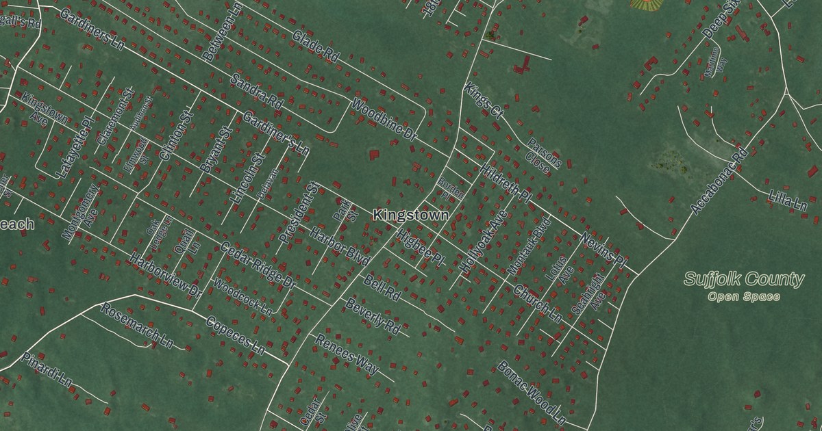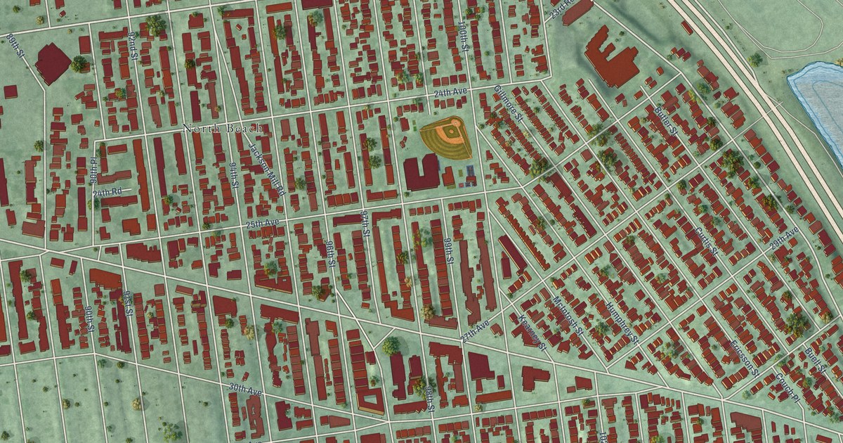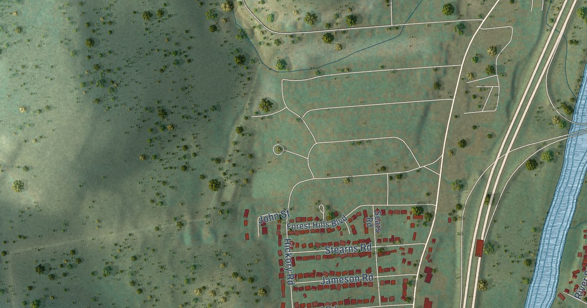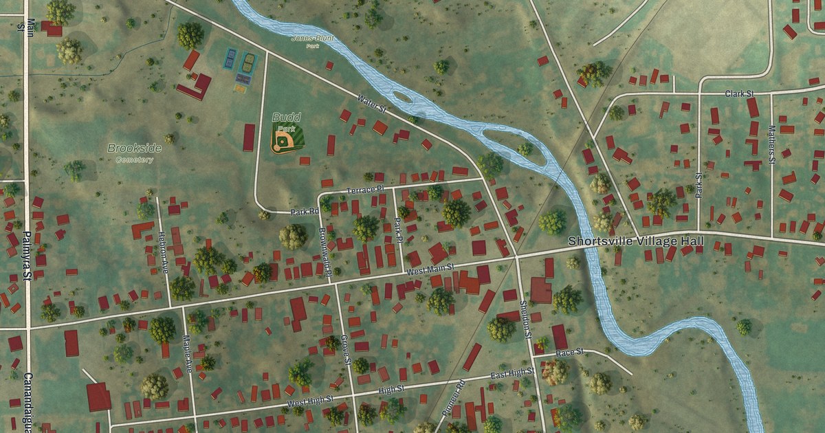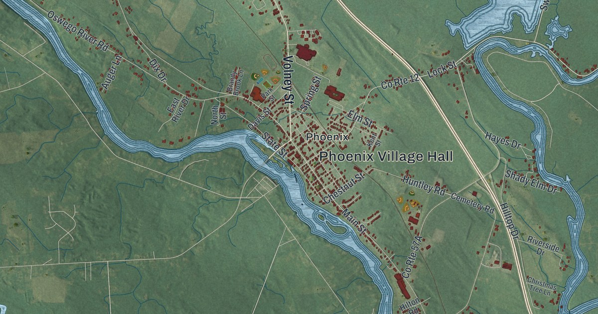
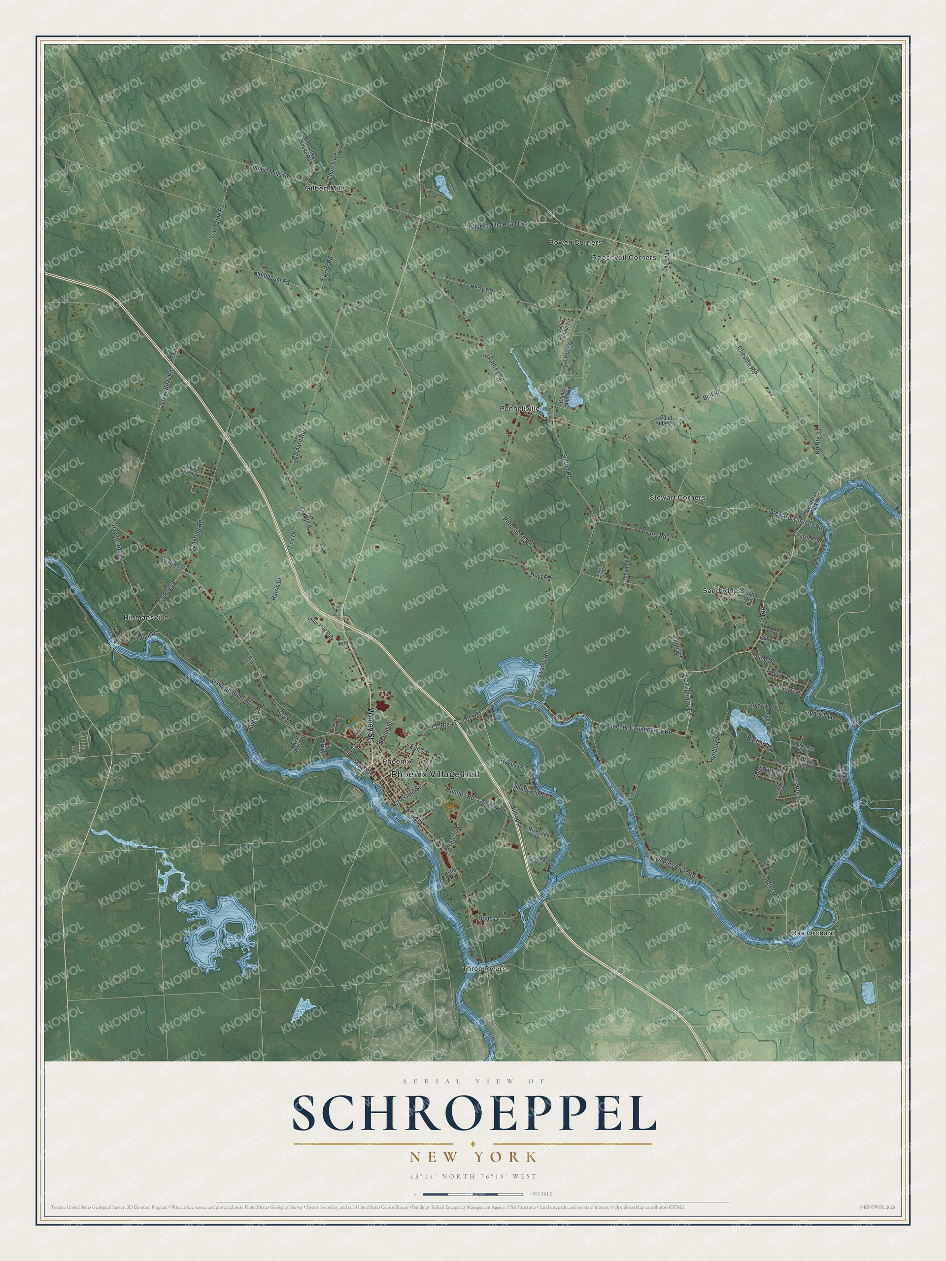
This beautifully detailed map of Schroeppel, New York was created in 2026 using aerial imagery combined with modern topographical, census, street and landmark data. It’s a one-of-a-kind view of Schroeppel that combines accurate data with a vintage aesthetic. The map shows every building in its true location, many of the roads carry their names, and the shaded topographic relief shows the shape of the land.
Explore an aerial view of Schroeppel, New York
On the map you’ll find Phoenix Village Hall, Co Rte, Bowen Corners, Gilbert Mills, Hinmansville, Oak Orchard, and Pennellville, along with Volney Street, Phoenix-Caughdenoy Road, Sutton Road, and more. If you look closely you can even find your house accurately drawn in its correct location. Zoom in on the preview to look for yours.
Did You Know?
The town takes its name from the Schroeppel family, who were early landowners in this part of Oswego County. It was formed in 1832 from part of Volney.
Take a closer look at the Schroeppel map
Names on this map
These names are printed on this map.
Places: Phoenix Village Hall, Bowen Corners, Gilbert Mills, Hinmansville, Oak Orchard, Pennellville, Phoenix, Roosevelt Corners, Sand Ridge, Stewart Corners, Three Rivers and Industrial Park.
Streets and roads: Volney Street, County Route 12, County Route, Phoenix-Caughdenoy Road, County Highway 12, Sutton Road, Stewarts Corners Road, Swamp Road, Huntley Road, Main Street, Oswego River Road, Gilbert Mills Road.
More street names, A to Z
Ainslee Drive, Aldrich Lane, Auger Lane, Bankrupt Road, Barnard Road, Barton Road, Beaver Drive, Bell Road, Biddlecum Road, Brandy Brook Lane, Camp Talool Road, Canal Road, Cemetery Road, Center Road, Chesbro Road, Chestnut Street, Christmas Tree Lane, Church Road, County Route 6, County Route 10, County Route 33, County Route 46, County Route 54, County Route 57, County Route 59, Dausman Road, Davis Street, Dix Drive, East River Drive, Elm Street, Ennis Avenue, Evans Road, Fietta Road, Fox Drive, Gilbert Mills Road East, Godfrey Road, Gravel Pit Road, Great Bear Road, Harris Drive, Hawthorne Road, Hayes Drive, Hidden Vw, Hilltop Drive, Hilton Road, Hinmanville Road, Hoag Drive, Hoyt Road, Hurlburt Road, Ironwood Drive, Johns Drive, June Drive, Kent Street, Kline Road, Larned Road, Lock Street, Manhattan Park Drive, Maple View Drive, North Street, Nottingham Runne, Oak Drive, Oneida River Road, Oneida View Drive, Park Street, Perry Road, Peter Scott Road, Pine Drive, Pine Tree Lane, Prior Road, Red School House Road, Riverside Drive, Sand Ridge Road, Shady Elm Drive, Shag Bark Lane, Sixberry Road, Spring Street, State Street, Tall Timber Lane, Town Line Road, Trask Lane, Twins Drive, Wigwam Road.
See it on a wall
The Schroeppel map as a framed print. Swipe for more.


This beautifully detailed map of Schroeppel makes an attractive addition to your office, library, or den, and it can even be used to teach children the geography and history of the area. It also makes a great gift for someone who left Schroeppel and still calls it home. When you’re done exploring, click here to get your copy of the Schroeppel map.