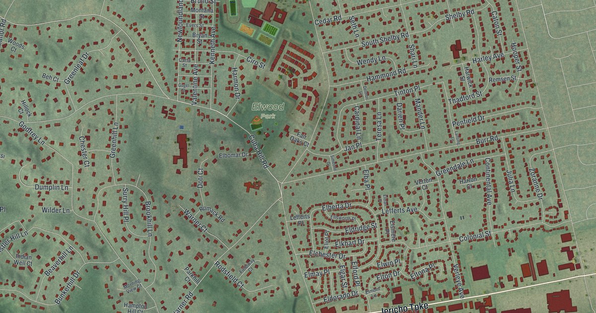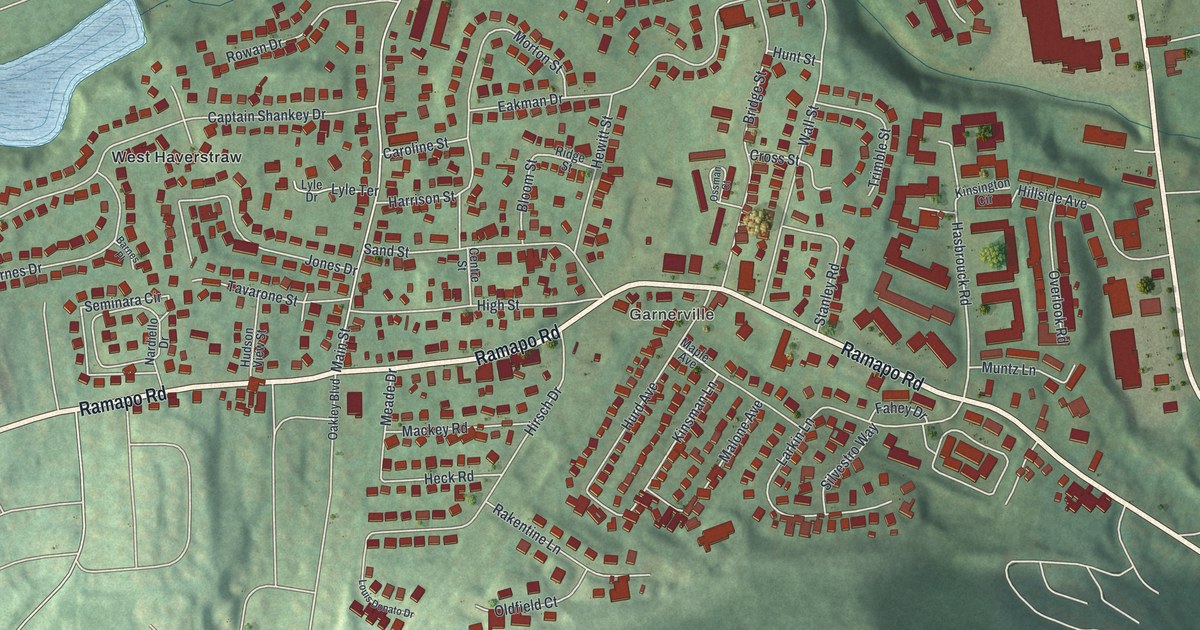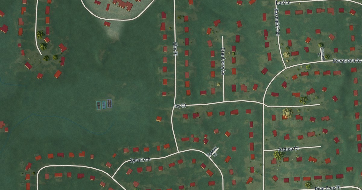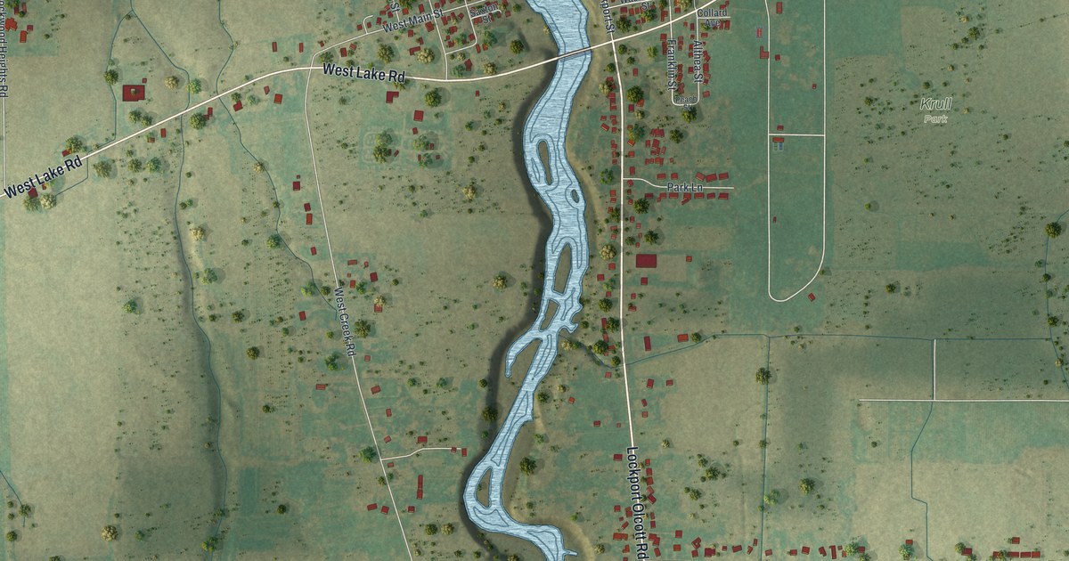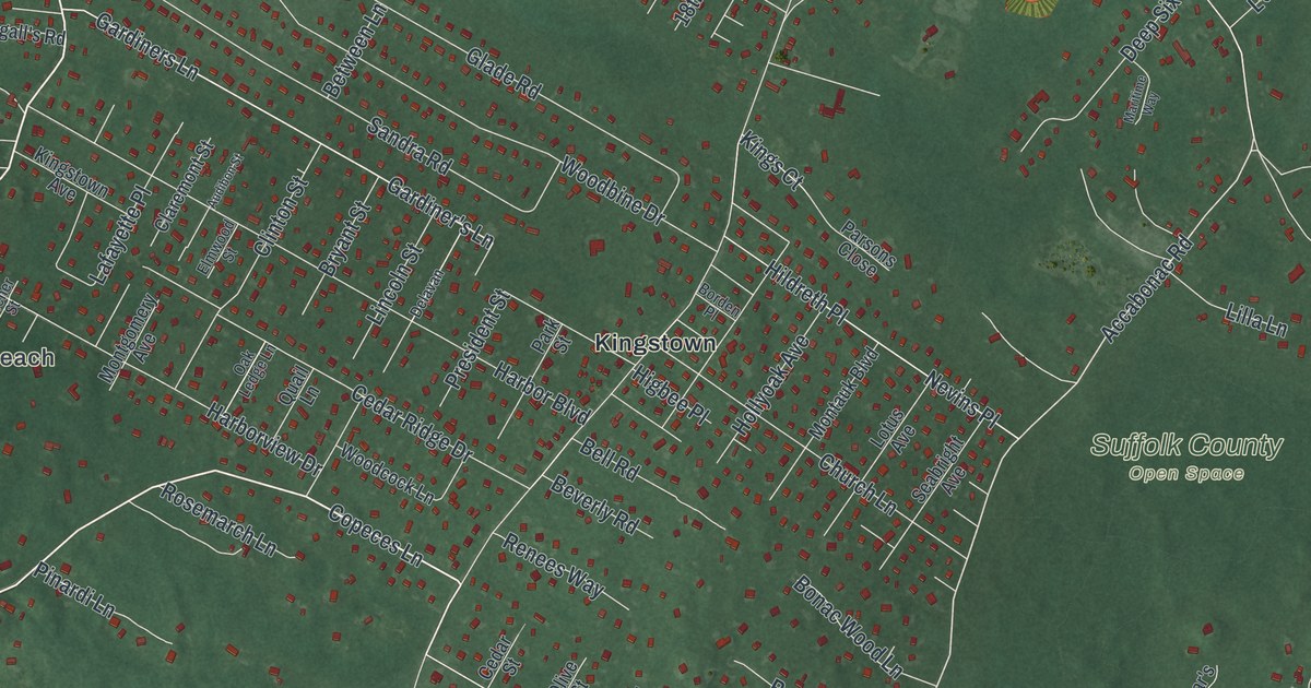
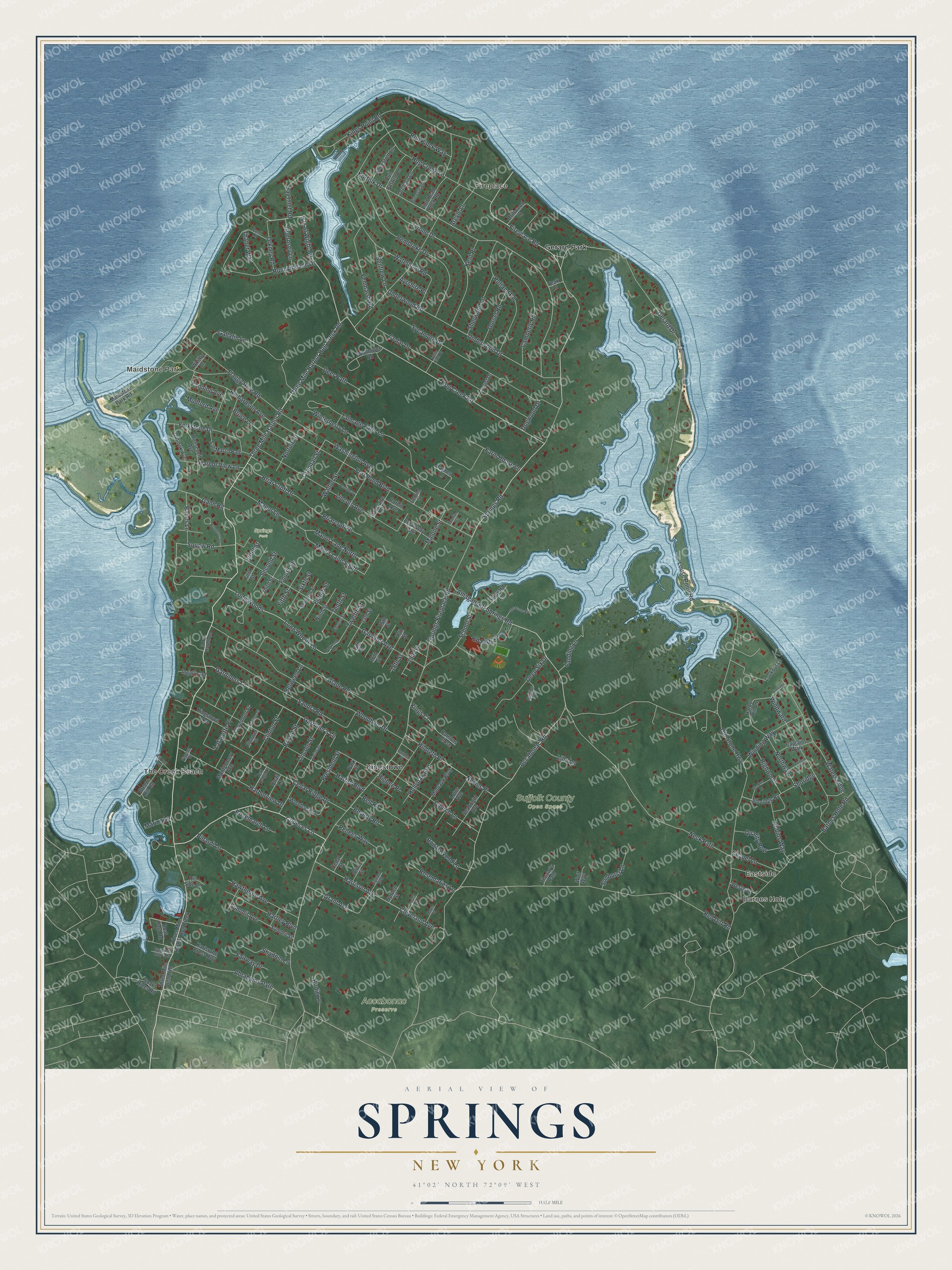
This beautifully detailed map of Springs, New York was created in 2026 using aerial imagery combined with modern topographical, census, street and landmark data. It’s a one-of-a-kind view of Springs that combines accurate data with a vintage aesthetic. The map shows every building in its true location, many of the roads carry their names, and the shaded topographic relief shows the shape of the land.
Explore an aerial view of Springs, New York
On the map you’ll find Barnes Hole, Eastside, The Creek Beach, Maidstone Park, Fireplace, and Accabonac Preserve, along with Three Mile Harbor Hog Creek Road, Three Mile Harbor Road, Isle of Wight Road, Copeces Lane, Hog Creek Road, and more. If you look closely you can even find your house accurately drawn in its correct location. Zoom in on the preview to look for yours.
Did You Know?
Springs is called the cradle of abstract expressionism in the art world. Jackson Pollock, Willem de Kooning and John Ferren all worked in the hamlet. Pollock died in a car crash in Springs in 1956. He rests in Green River Cemetery beside his wife, Lee Krasner.
Take a closer look at the Springs map
Names on this map
These names are printed on this map.
Places: Barnes Hole, Eastside, The Creek Beach, Maidstone Park, Fireplace, Accabonac Preserve, Springs Park, Suffolk County Open Space, Gerard Park and Kingstown.
Streets and roads: Three Mile Harbor Hog Creek Road, Three Mile Harbor Road, Isle of Wight Road, Copeces Lane, Hog Creek Road, Fireplace Road, Springs Fireplace Road, Accabonac Road, Grant Avenue, Crandall Street, Gardiners Lane, Gardiner's Lane.
More street names, A to Z
3 Mile Harbor Road, 13th Street, 14th Street, 15th Street, 16th Street, 17th Street, 18th Street, 19th Street, Abrahams Path, Amagansett Springs Road, Argyle Lane, Audibon Street, Ayrshire Place, Babes Lane, Barnes Hole Road, Bay Inlet Road, Bell Road, Between Lane, Beverly Road, Birdie Lane, Boat Yard Road, Bonac Wood Lane, Bon Pinck Way, Borden Place, Breeze Hill Road, Briarcroft Drive, Briar Croft Drive, Broadway, Broadway Avenue, Bruce Lane, Bryant Street, Bull Pasture Lane, Camberly Road, Captains Walk, Carriage Lane, Cedar Drive, Cedar Ridge Drive, Cedar Street, Chapel Lane, Church Lane, Claremont Street, Cleveland Avenue, Clinton Street, Corbin Avenue, Deep Six Drive, Deer Path, Delavan, Dogwood Drive, Dorset Road, Driftwood Lane, Eauclaire Street, Ed Hultz Lane, Eighth Street, Eleventh Street, Elmwood Street, Fairway Drive, Fanning Avenue, Farm House Lane, Fenmarsh Road, Fifth Street, First Street, Fischer Street, Flaggy Hole Road, Fleming Street, Folkstone Drive, Fort Pond Boulevard, Fourth Street, Front Street, Gallatin Lane, Gann Road, Gardiner Avenue, Gardiner Cove Road, Gerard Drive, Glade Road, Guernsey Lane, Harbor Boulevard, Harbor Hill Lane, Harborview Drive, Harbor View Lane, Harrison Avenue, Hartley Boulevard, Hawthorne Avenue, Haynes Lane, Higbee Place, Highland Boulevard, Highwood, Hildreth Place, Hill Side Lane, Hog Creek Lane, Hollyoak Avenue, Homestead Lane, Ingall's Road, Karlsruhe Cross Highway, Kent Place, Kings Court, Kings Point Road, Kingstown Avenue, Lafayette Place, Landing Lane, Lantern Lane, Lilla Lane, Lincoln Avenue, Lincoln Street, Lion Head Rock Road, Locust Drive, Locust Street, Longwood Lane, Long Woods, Long Woods Lane, Lookout Lane, Lotus Avenue, Louse Point Road, Maidstone Park Road, Malone Street, Manor Lane, Manor Lane North, Manor Lane South, Maple Street, Marina Lane, Maritime Way, Meehan Terrace, Montauk Boulevard, Montgomery Avenue, Mudford Avenue, Neck Path, Nevins Place, Ninth Street, Norfolk Drive, Norfolk Street, Northway, Oak Ledge Lane, Old Stone Highway, Old Stone Road, Olive Street, Orchard Lane, Orkney Road, Outlook Avenue, Park Street, Parsons Close, Pembroke Drive, Pinardi Lane, Pond Lane, President Street, Quail Lane, Quality Row, Red Dirt Road, Renees Way, Renfrew Lane, Richardson Avenue, Robins Way, Roosevelt Avenue, Rosemarch Lane, Rosemaries Lane, Runnymeade Drive, Rutland Road, Salt Marsh Path, Sandra Road, School Street, Seabright Avenue, Second Street, Seventh Street, Shadom Lane, Shadow Lane, Sheepfold Lane, Sherwood Lane, Shipyard Lane, Shoridge, Shoridge Road, Sixth Street, Soak Hides Road, Springs Road, Spruce Street, Summit Avenue, Summit Street, Sunburst Lane, Sycamore Drive, Talmage Farm Lane, Teak Lane, Tenth Street, Thanet Way, Third Street, Three Mile Bend Road, Three Mile Harbor Hog Creek, Thuzar's Path, Twelfth Street, Tyrone Drive, Underwood Drive, Underwood Road, Walton Street, Washington Avenue, Waterhole Road, Waters Edge, Westway, Whitby Lane, White Birch Drive, Wildflower Road, Will Curl Highway, Winding Way, Windward, Winterberry Lane, Wolf Way, Woodbine Drive, Woodcock Lane, Woodcrest Drive.
See it on a wall
The Springs map as a framed print. Swipe for more.


This beautifully detailed map of Springs makes an attractive addition to your office, library, or den, and it can even be used to teach children the geography and history of the area. It also makes a great gift for anyone with Springs roots. When you’re done exploring, click here to get your copy of the Springs map.