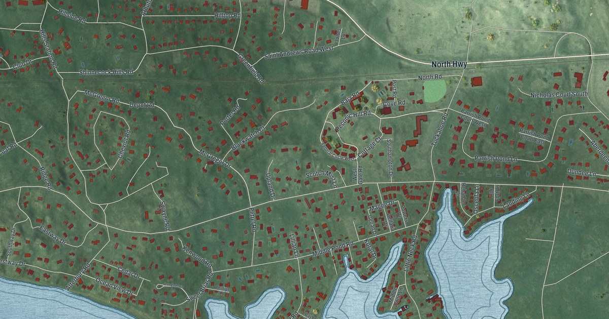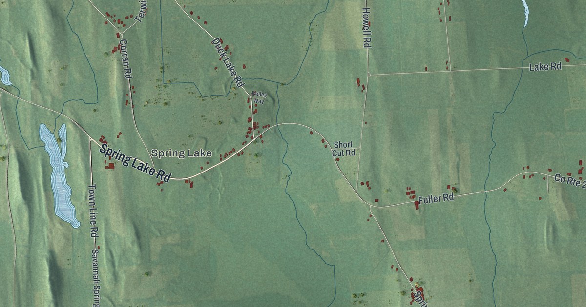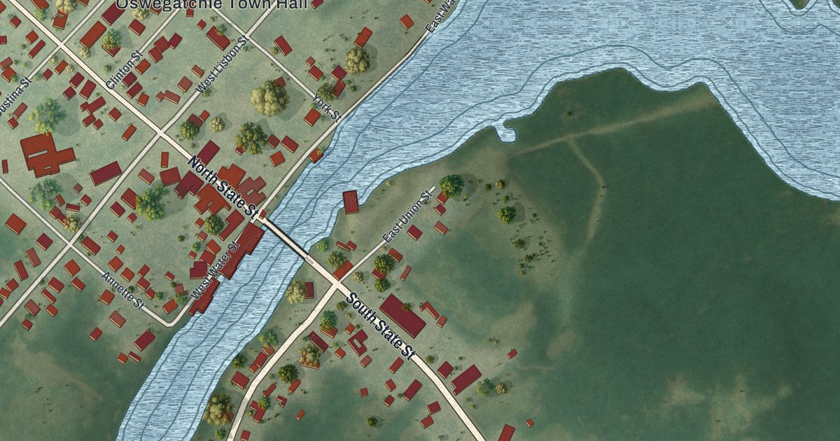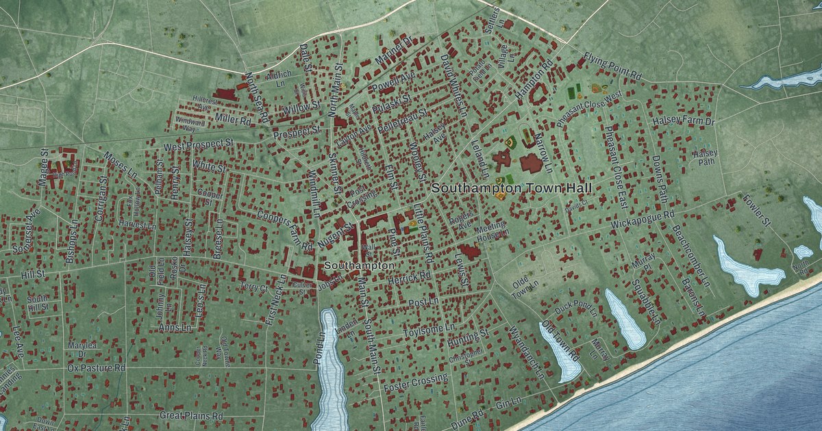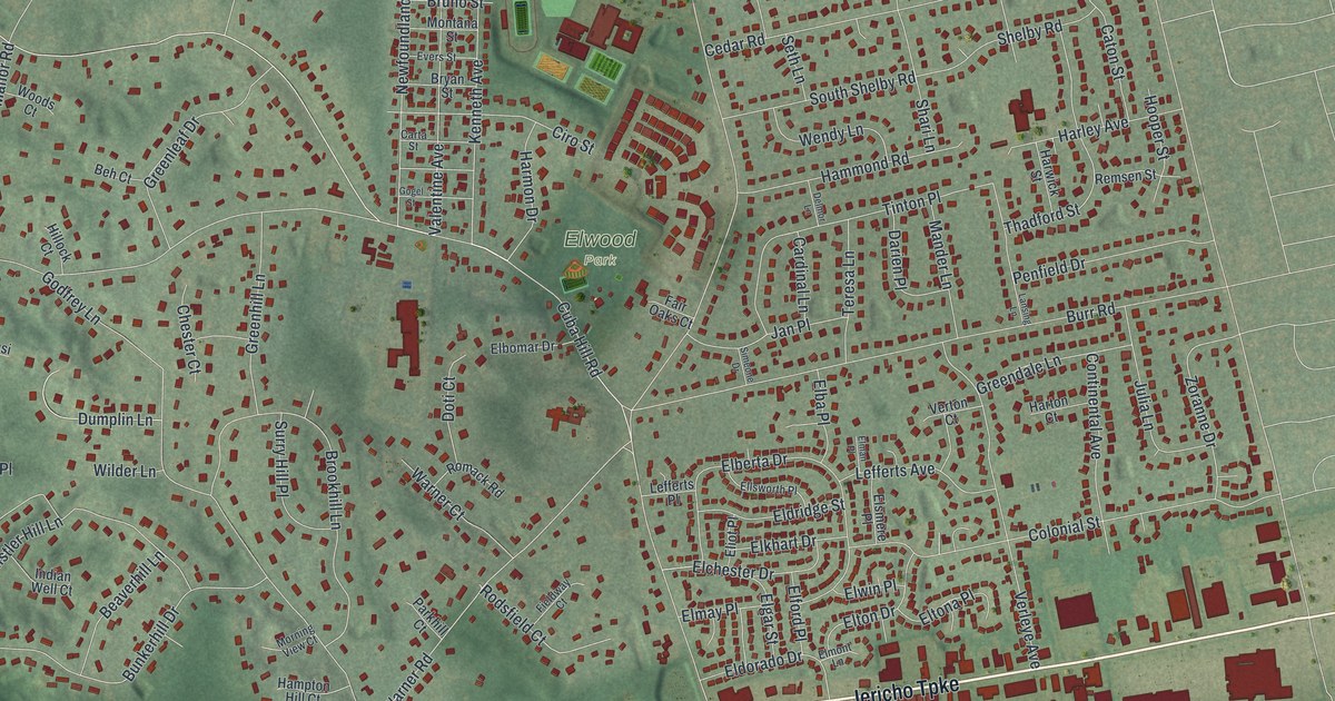
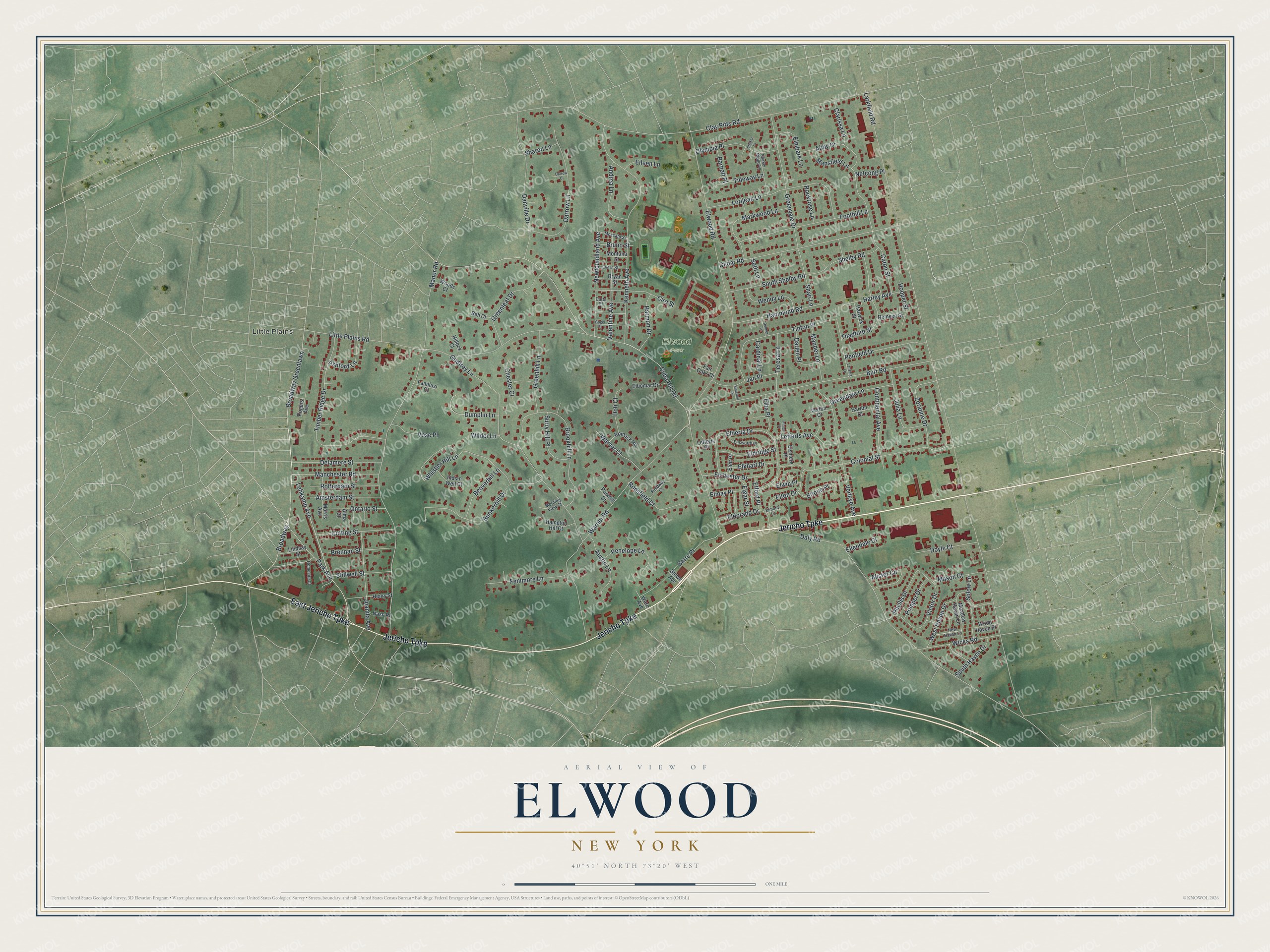
This beautifully detailed map of Elwood, New York was created in 2026 using aerial imagery combined with modern topographical, census, street and landmark data. It’s a one-of-a-kind view of Elwood that combines accurate data with a vintage aesthetic. The map shows every building in its true location, many of the roads carry their names, and the shaded topographic relief shows the shape of the land.
Explore an aerial view of Elwood, New York
On the map you’ll find Little Plains, along with Jericho Turnpike, Lebkamp Avenue, Larkfield Road, Elwood Road, Manor Road, and more. If you look closely you can even find your house accurately drawn in its correct location. Zoom in on the preview to look for yours.
Did You Know?
Elwood was first known as Northern Dix Hills. A post office opened there on June 7, 1870, under the name Elwood. A year later the old Dix Hills office closed, and all its mail moved to Elwood. That office lasted until October 31, 1902.
Take a closer look at the Elwood map
Names on this map
These names are printed on this map.
Places: Little Plains and Elwood Park.
Streets and roads: Jericho Turnpike, East Jericho Turnpike, Lebkamp Avenue, Larkfield Road, Elwood Road, Manor Road, Clay Pitts Road, Cuba Hill Road, Daly Road, Little Plains Road, Broadway, Broadway Greenlawn.
More street names, A to Z
Abby Drive, Alister Circle, Alma Court, Amsterdam Street, Andrea Lane, Ashford Lane, Austin Lane, Barnett Place, Barre Place, Beaverhill Lane, Beh Court, Brennan Street, Brookhill Lane, Bruno Street, Bryan Street, Bunkerhill Drive, Burr Road, Cardinal Lane, Carta Street, Caton Street, Cedar Road, Chester Court, Ciro Street, Clarissa Lane, Colonial Street, Continental Avenue, Cutting Street, Danville Drive, Darien Place, Darrow Court, Darrow Lane, Delamere Street, Delmor Lane, Doti Court, Doyle Court, Dumplin Lane, Eileen Lane, Elba Place, Elberta Drive, Elbomar Drive, Elchester Drive, Eldorado Drive, Eldridge Street, Elford Place, Elgar Street, Eliot Place, Elkhart Drive, Ellendale Court, Ellsworth Place, Elman Place, Elmay Place, Elmbark Lane, Elmont Lane, Elsmere Place, Eltona Place, Elton Drive, Elwin Place, Evers Street, Fair Oaks Court, Familusi Court, Fenimore Lane, Fieldway Court, Foothill Lane, Godfrey Lane, Gogel Street, Greendale Lane, Greenhill Lane, Greenleaf Drive, Greenvale Drive, Hammond Road, Hampton Hill Court, Harley Avenue, Harmon Drive, Harton Court, Harwick Street, Henry Street, Hillock Court, Homesite Court, Hooper Street, Indian Well Court, Jan Place, Juanita Avenue, Julia Lane, Kenneth Avenue, Lansing Lane, Lefferts Avenue, Lefferts Place, Lindsay Street, Lorijean Lane, Manchester Road, Mander Lane, Mansfield Lane, Markwood Lane, Mason Court, Meadow Haven Lane, Montana Street, Morning View Court, Morris Avenue, Moscato Street, Nash Place, Netcong Place, Newfoundland Avenue, New Haven Lane, Olympia Place, Ontario Street, Park Avenue, Parkhill Court, Penelope Lane, Penfield Drive, Phyllis Drive, Pomper Drive, Remsen Street, Rockrose Lane, Rodsfield Court, Rogers Avenue, Romack Road, Rotterdam Street, Seth Lane, Shaker Court, Shaker Ridge Lane, Shari Lane, Sharon Lane, Shelby Road, Simeone Drive, Solow Lane, South Haven Drive, South Shelby Road, Stillwell Street, Stowe Avenue, Surry Hill Place, Teresa Lane, Thadford Street, Tideway Lane, Timber Ridge Drive, Tinton Place, Valentine Avenue, Verleye Avenue, Verton Court, Victor Drive, Vose Place, Ware Avenue, Warner Court, Warner Road, Wendy Lane, West Haven Drive, Whistler Hill Lane, Wicks Road, Wilder Lane, Wood Haven Place, Woods Court, Zoranne Drive.
See it on a wall
The Elwood map as a framed print. Swipe for more.


This beautifully detailed map of Elwood makes an attractive addition to your office, library, or den, and it can even be used to teach children the geography and history of the area. It also makes a great gift for anyone who grew up in Elwood or moved away. When you’re done exploring, click here to get your copy of the Elwood map.