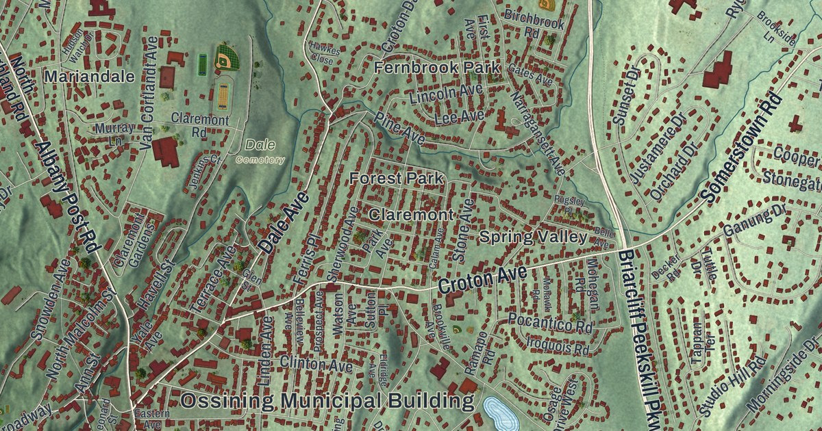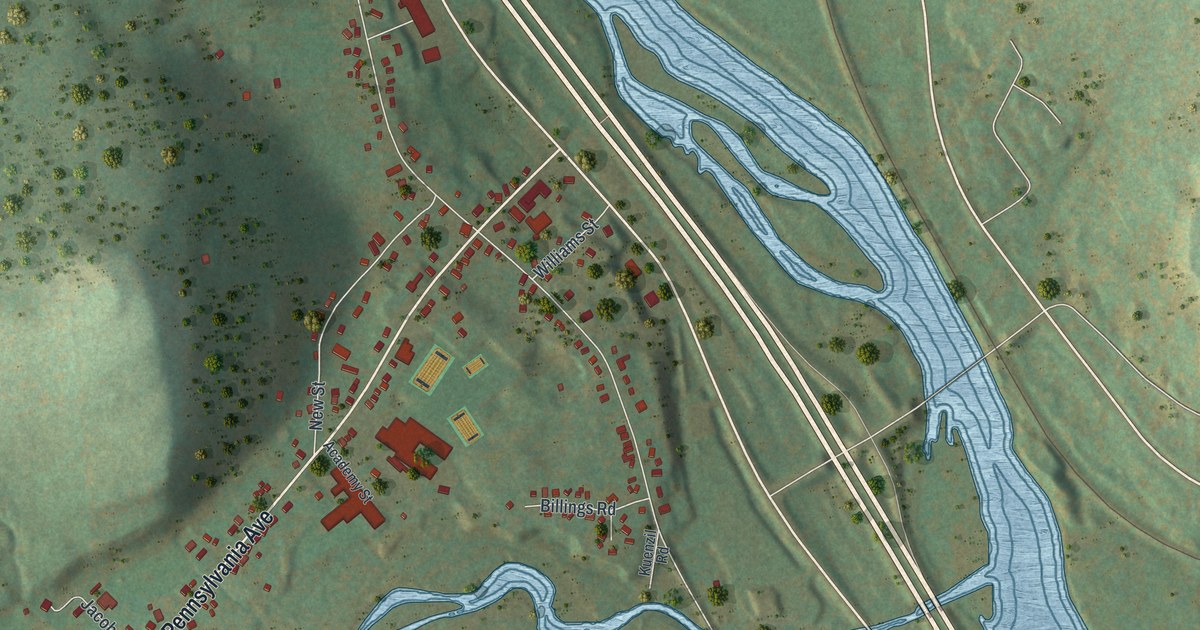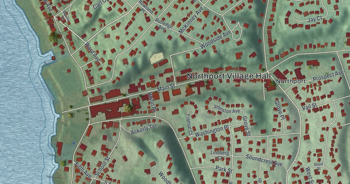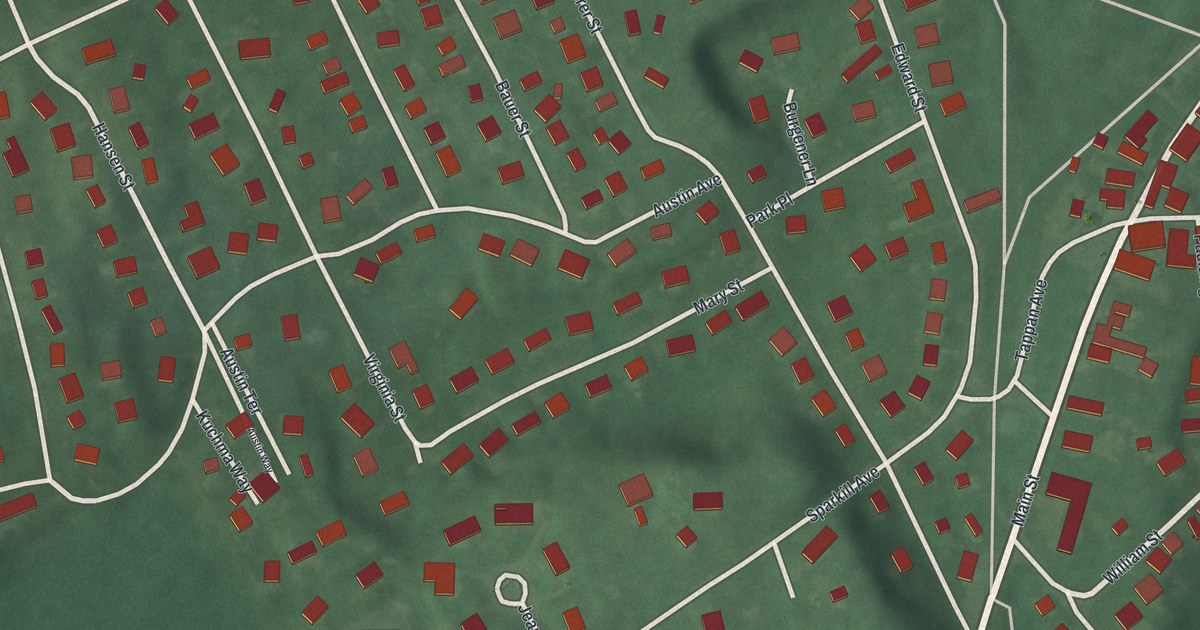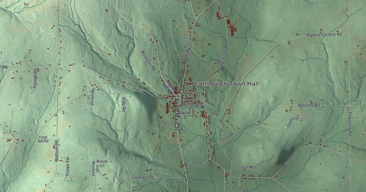
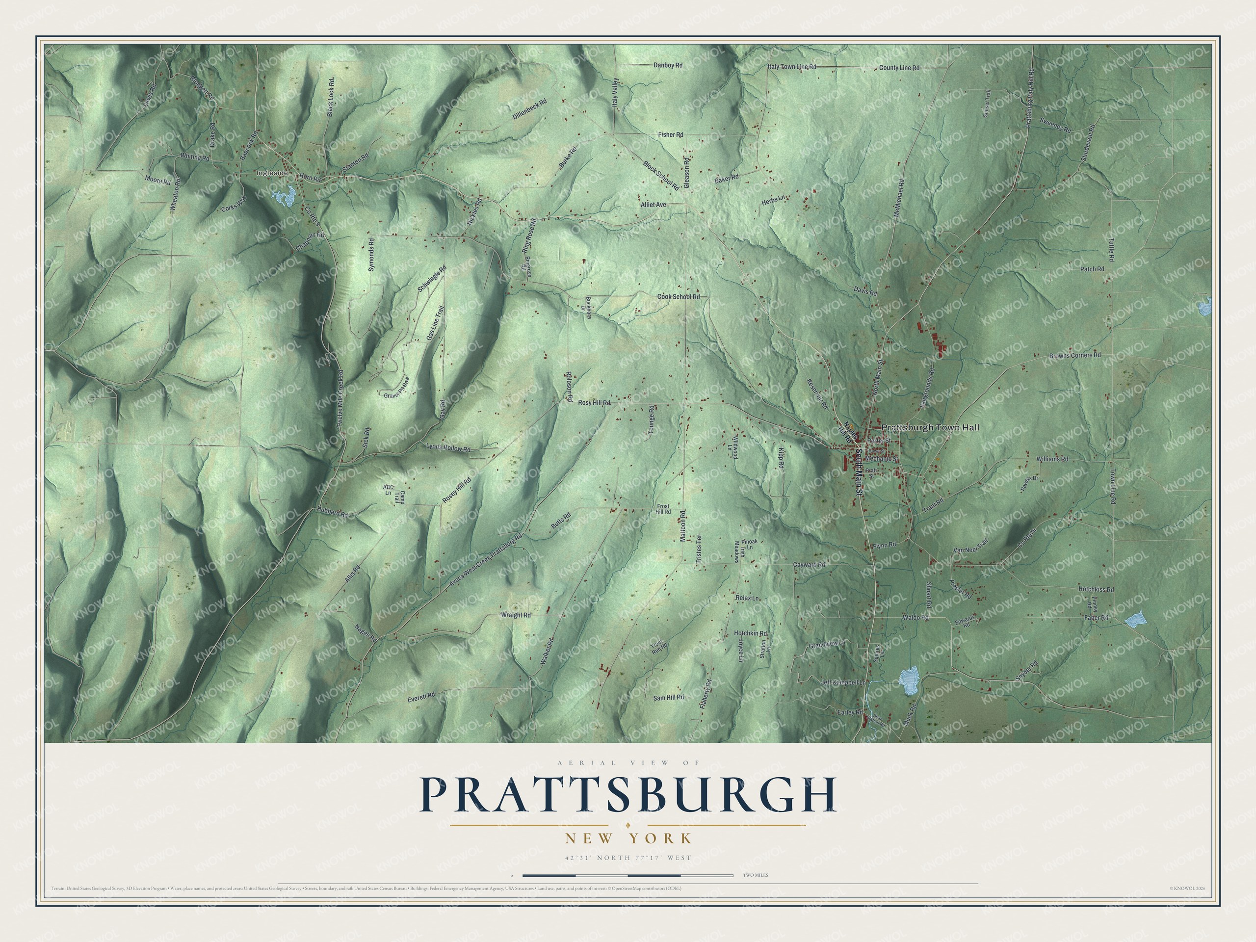
This beautifully detailed map of Prattsburgh, New York was created in 2026 using aerial imagery combined with modern topographical, census, street and landmark data. It’s a one-of-a-kind view of Prattsburgh that combines accurate data with a vintage aesthetic. The map shows every building in its true location, many of the roads carry their names, and the shaded topographic relief shows the shape of the land.
Explore an aerial view of Prattsburgh, New York
On the map you’ll find Prattsburgh Town Hall and Ingleside, along with Main Street, Naples Hill Road, McMichael Road, Italy Town Line Road, and more. If you look closely you can even find your house accurately drawn in its correct location. Zoom in on the preview to look for yours.
Did You Know?
Prattsburgh is named for Joel Pratt, who came around 1799 to buy land here. Other settlers followed in 1801. The town was split from Pulteney in 1813. From about 1889 to 1961, a short rail line linked Prattsburgh to the Erie Railroad at Kanona.
Take a closer look at the Prattsburgh map
Names on this map
These names are printed on this map.
Places: Prattsburgh Town Hall and Ingleside.
Streets and roads: South Main Street, McMichael Road, County Line Road, Italy Town Line Road, Prattsburg Italy Hill Road, Block School Road, Mattoon Road, Town Line Road, Shuart Road, Flaherty Road, Williams Road, Kipp Road.
More street names, A to Z
ABC Lane, Alliet Avenue, Allis Road, Avoca West Creek Prattsburg Road, Babcock Road, Baker Road, Bean Station Road, Black Lock Road, Blodgett Road, Browns Corners Road, Buckhorn Drive, Burke Road, Butts Road, Camp Trail, Cayward Road, Chapman Road, Cook School Road, Corks Way, Co Rte74, County Route 9, Danboy Road, Davis Road, Dillenbeck Road, Drake Road, Earley Road, Edwards Road, Everett Road, Faber Road, Fairgrounds Road, Fisher Road, Flynn Road, Frost Hill Road, Gas Line Trail, Gay Road, Gleason Road, Grandview Lane, Gravel Pit Row, Herbs Lane, Horn Road, Hotchkin Road, Hotchkiss Road, Howe Street, Hubbard Road, Irish Meadows, Italy Valley, Jeff Campbell Lane, Joyce Lane, Lewis Road, Lyons Hollow Road, Mechanic Street, Moore Road, Muck Road, Nageli Road, Naples Hill Road, Nickles Road, North Main Street, Patch Road, Pinney Road, Pinoak Lane, Porter Street, Powers Drive, Pratt Street, Presler Road, Relax Lane, Reservoir Road, Ring Rose Road, Ringrose Road, Roloson Road, Rosey Hill Road, Rosy Hill Road, Sam Hill Road, Schwingle Road, Sick Road, Snyder Road, Squires Lane, Stanton Road, Stratton Lane, Sturdevant Road, Sunset Trail, Sweeney Road, Symonds Road, Tounge Road, Trant Road, Tristes Terrace, Trout Run Road, Tuttle Road, Twelve Mile Creek Road, Van Neel Trail, Waldo Road, Walker Road, Wheaton Road, Whiting Road, Wildwood Lane, Wraight Road.
See it on a wall
The Prattsburgh map as a framed print. Swipe for more.


This beautifully detailed map of Prattsburgh makes an attractive addition to your office, library, or den, and it can even be used to teach children the geography and history of the area. It also makes a great gift for someone who left Prattsburgh and still calls it home. When you’re done exploring, click here to get your copy of the Prattsburgh map.