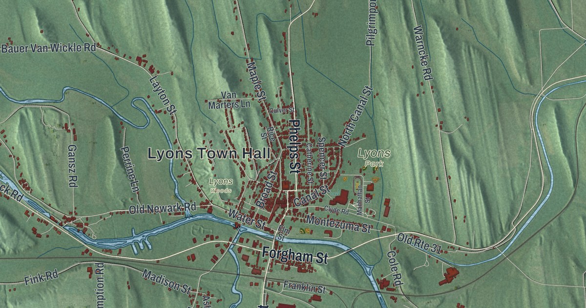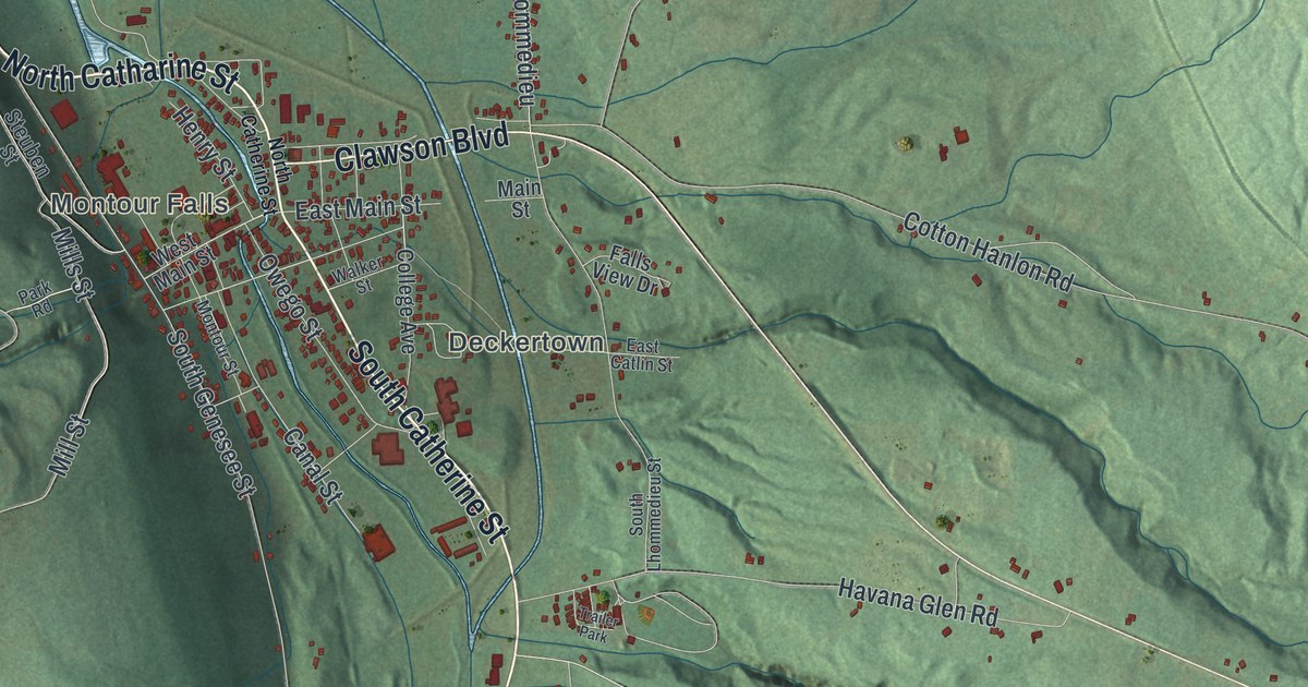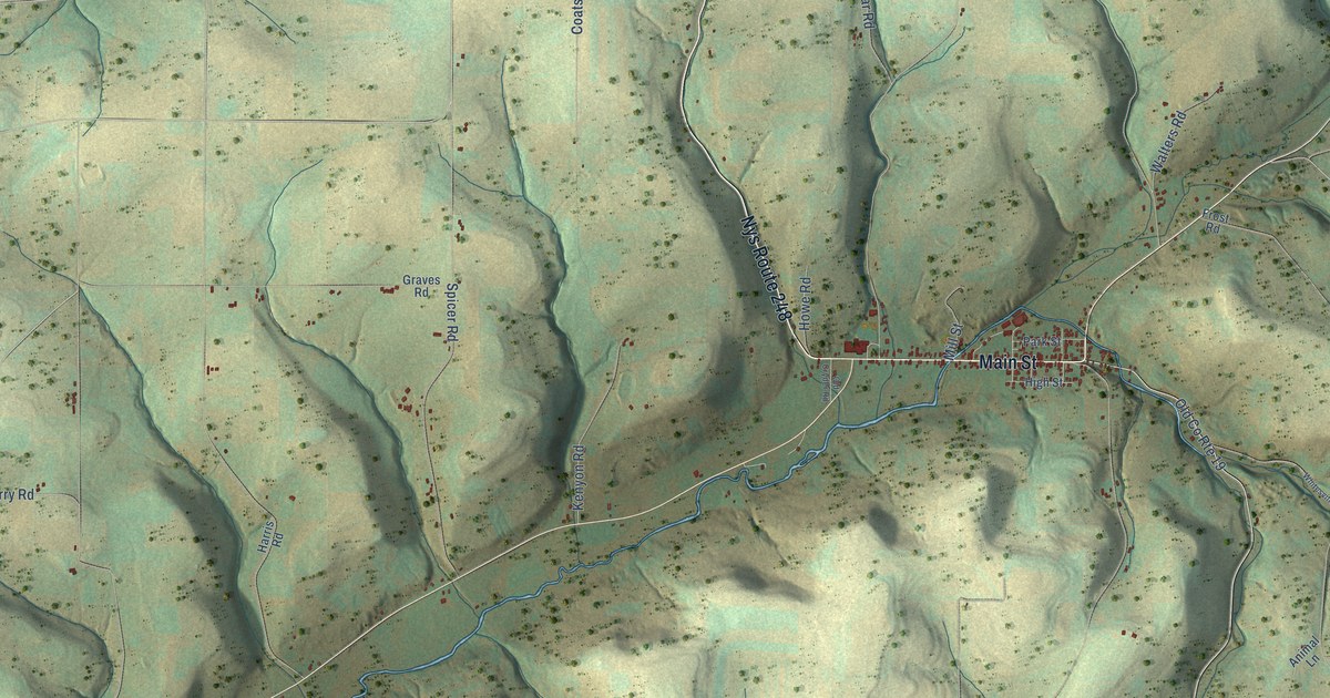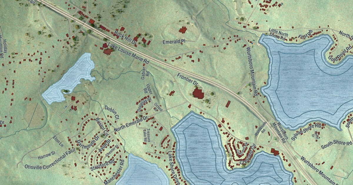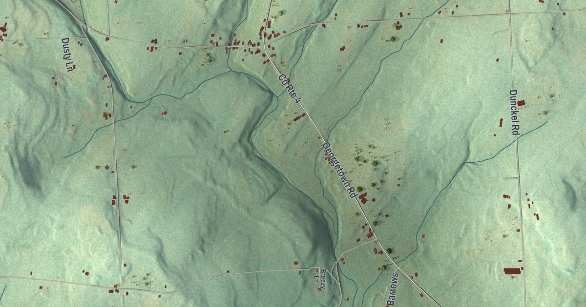
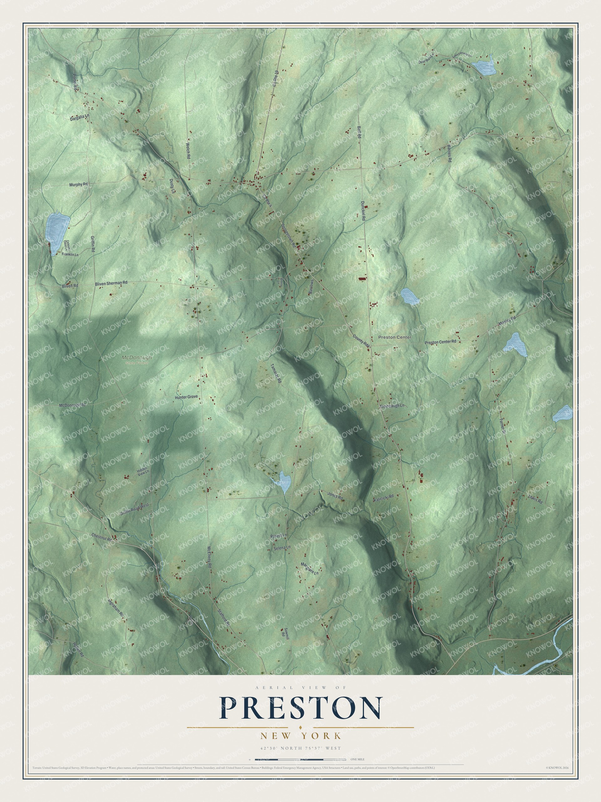
This beautifully detailed map of Preston, New York was created in 2026 using aerial imagery combined with modern topographical, census, street and landmark data. It’s a one-of-a-kind view of Preston that combines accurate data with a vintage aesthetic. The map shows every building in its true location, many of the roads carry their names, and the shaded topographic relief shows the shape of the land.
Explore an aerial view of Preston, New York
On the map you’ll find Preston Center and McDonough State Forest, along with Georgetown Road, Dunckel Road, Tamarac Road, Bliven Road, Griffin Road, and more. If you look closely you can even find your house accurately drawn in its correct location. Zoom in on the preview to look for yours.
Did You Know?
The first settler came to Preston around 1787, and the town was formed from Norwich in 1806. The botanist Frederick Vernon Coville was born here in 1867. He wrote Botany of the Death Valley Expedition.
Take a closer look at the Preston map
Names on this map
These names are printed on this map.
Places: Preston Center and McDonough State Forest.
Streets and roads: Georgetown Road, Dunckel Road, County Route 4, Tamarac Road, Bliven Road, County Rd4, Griffin Road, Turner Street, McDonough Road, County Route 19, Bliven Sherman Road, Barnes Road.
More street names, A to Z
Balf Road, Barrows, Breezy Lane, Celeste Crest Lane, Chestnut Road, Dargalia Lane, Deer Run Lane, Dusty Lane, Franklin Lane, Gordon Lane, Griffin Road West, Hidden View Lane, Hoben Road, Hunter Grove, Ingraham Road, Jones Road, Kalicicki Road, Lake Lorraine Lane, Lewis Road, Macguire Lane, Manley Road, McEneny Road, Murphy Road, Parent Lane, Porter Road, Preston Center Road, Sawmill Road, Selena Lane, Stafford Road, Steinbaugh Lane, Welch Road.
See it on a wall
The Preston map as a framed print. Swipe for more.


This beautifully detailed map of Preston makes an attractive addition to your office, library, or den, and it can even be used to teach children the geography and history of the area. It also makes a great gift for anyone with Preston roots. When you’re done exploring, click here to get your copy of the Preston map.