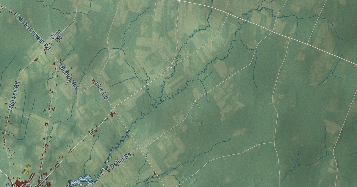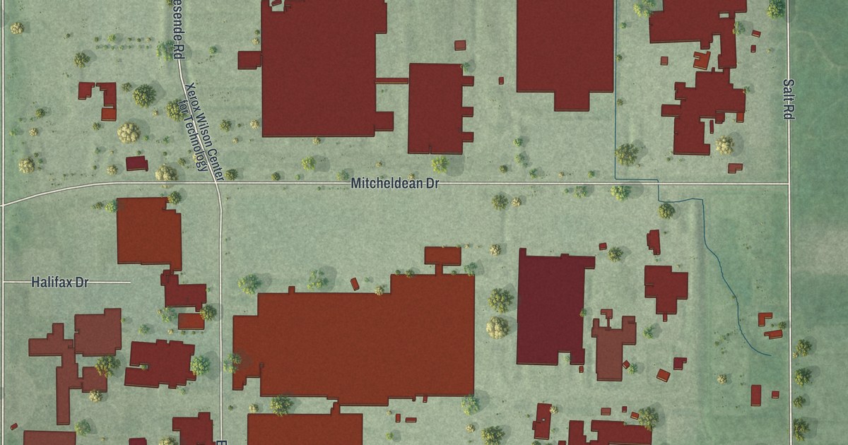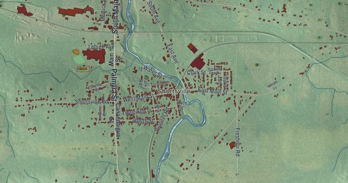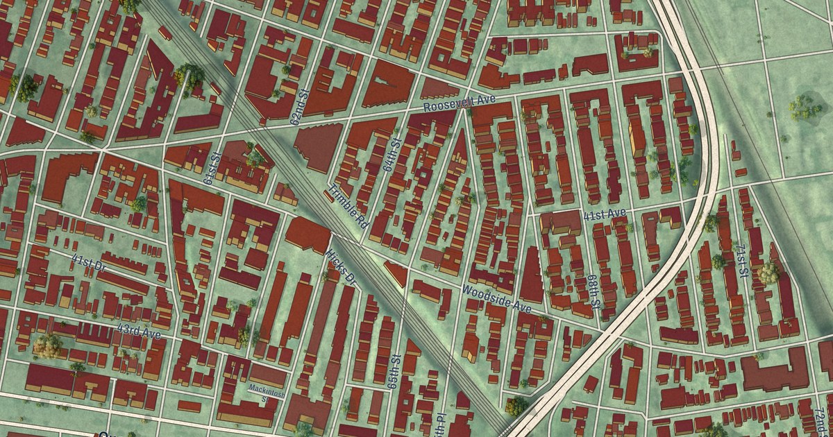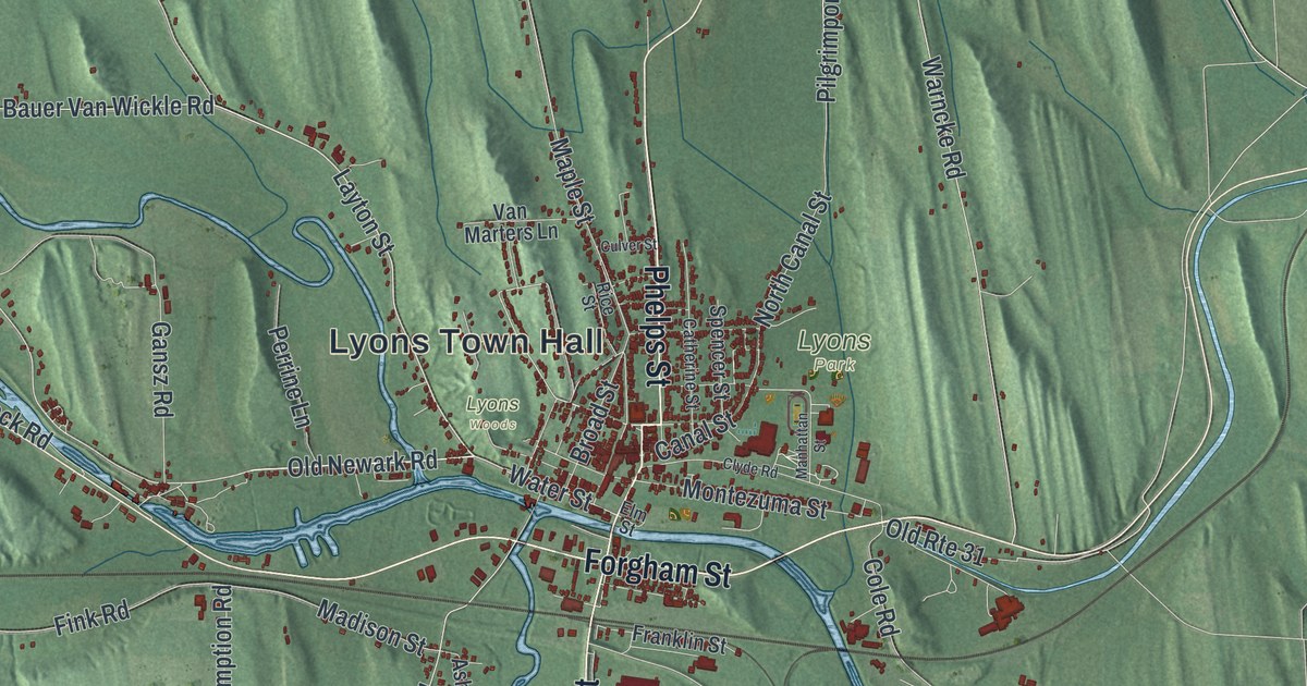
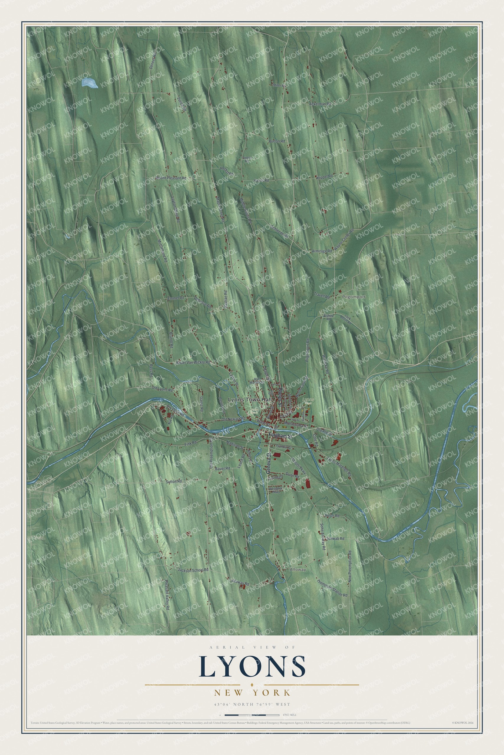
This beautifully detailed map of Lyons, New York was created in 2026 using aerial imagery combined with modern topographical, census, street and landmark data. It’s a one-of-a-kind view of Lyons that combines accurate data with a vintage aesthetic. The map shows every building in its true location, many of the roads carry their names, and the shaded topographic relief shows the shape of the land.
Explore an aerial view of Lyons, New York
On the map you’ll find Lyons Town Hall, Alloway, and Pilgrimport, along with Forgham Street, Geneva Street, Phelps Street, Layton Street, and more. If you look closely you can even find your house accurately drawn in its correct location. Zoom in on the preview to look for yours.
Did You Know?
Settlers arrived around 1789 in an area first known as The Forks. The town took its name from Lyon, France, and was formed from Sodus in 1811. The Erie Canal reached Lyons by 1821. Today Lyons is the seat of Wayne County.
Take a closer look at the Lyons map
Names on this map
These names are printed on this map.
Places: Lyons Town Hall, Alloway, Pilgrimport, Lyons Park and Lyons Woods.
Streets and roads: Forgham Street, Geneva Street, Phelps Street, Layton Street, Old Newark Road, Pleasant Valley Road, Water Street, Old Lyons Road, Sutton Road, Layton Street Road, Old Route 31, Armitage Road.
More street names, A to Z
Ackerman Road, Alloway Road, Ashley Street, Bastian Road, Bauer Road, Bauer Van Wickle Road, Bishop Road, Brandt Road, Broad Street, Burton Road, Canal Street, Catherine Street, Clyde Road, Cole Road, Culver Street, Debusse Road, Deneef Road, Dry Dock Road, Dunn Road, Elm Street, Emmel Road, Fink Road, Franklin Street, Gansz Road, Grist Mill Drive, Harris Road, Helch Road, Herbst Road, Jackson School Road, Klippel Road, Leach Road, Lock Berlin Road, Lyons Marengo Road, Madison Street, Manhattan Street, Maple Street, Maple Street Road, McClelland Road, Middle Sodus Road, Miller Road, Montezuma Street, Mount Pleasant Road, New Preemption Road, North Canal Street, Nye Road, Old Preemption Road, Paliotti Parkway, Perrine Lane, Pilgrimport Road, Rice Street, Ross Road, Schleede Road, Schwab Road, Sohn Alloway Road, Spencer Street, Sterns Road, Thompson Station Road, Travell Road, Van Marters Lane, Warncke Road, Wayne Center Road, Westphal Parkway, Zurich Road.
See it on a wall
The Lyons map as a framed print. Swipe for more.


This beautifully detailed map of Lyons makes an attractive addition to your office, library, or den, and it can even be used to teach children the geography and history of the area. It also makes a great gift for anyone with Lyons roots. When you’re done exploring, click here to get your copy of the Lyons map.