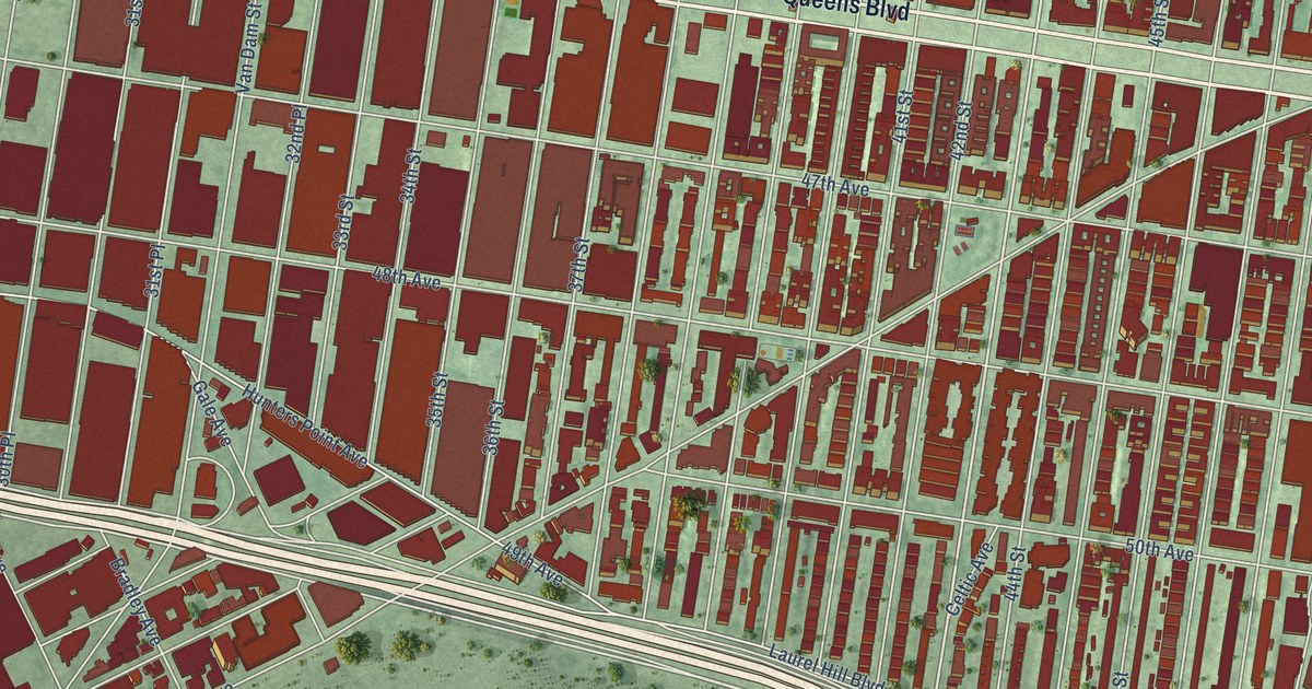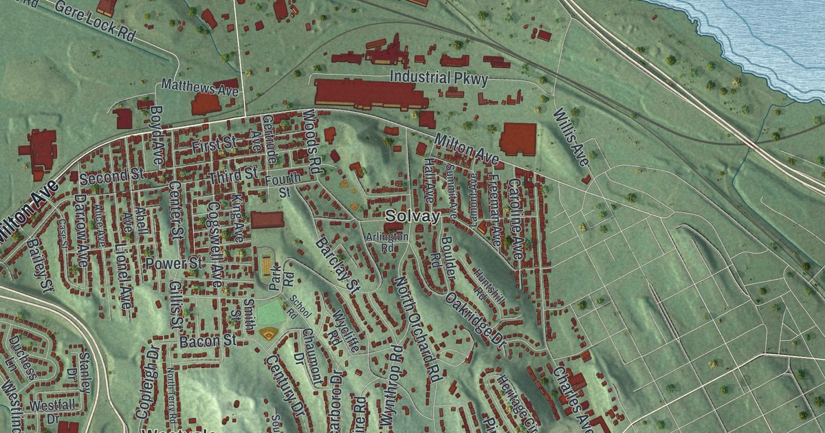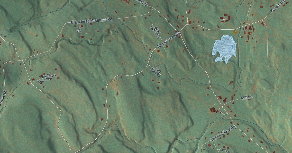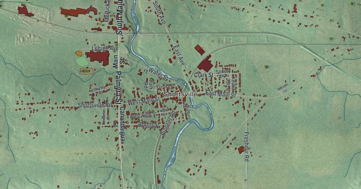
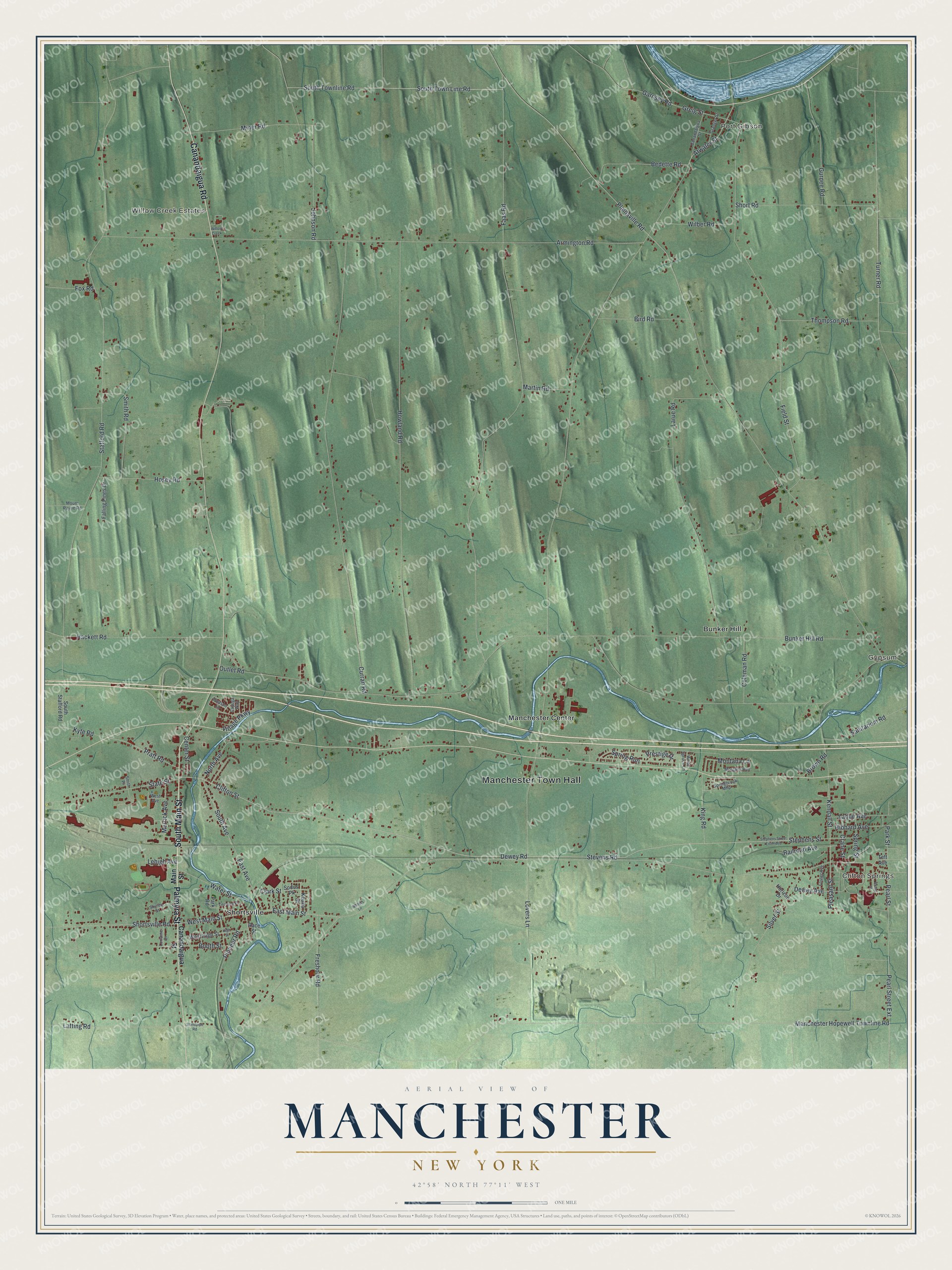
This beautifully detailed map of Manchester, New York was created in 2026 using aerial imagery combined with modern topographical, census, street and landmark data. It’s a one-of-a-kind view of Manchester that combines accurate data with a vintage aesthetic. The map shows every building in its true location, many of the roads carry their names, and the shaded topographic relief shows the shape of the land.
Explore an aerial view of Manchester, New York
On the map you’ll find Manchester Town Hall, Port Gibson, Clifton Springs, Gypsum, Bunker Hill, and Manchester Center, along with Main Street, Palmyra Street, Canandaigua Road, Canandaigua Street, and more. If you look closely you can even find your house accurately drawn in its correct location. Zoom in on the preview to look for yours.
Did You Know?
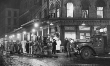
Early residents named the settlement for the English city of Manchester. By 1940 it bustled around the Lehigh Valley freight transfer yard. There about 500 Syrian, Ukrainian and Italian workers loaded and unloaded 100 or more freight cars each day. That’s from the 1940 WPA guide to New York.
Take a closer look at the Manchester map
Names on this map
These names are printed on this map.
Places: Manchester Town Hall, Port Gibson, Clifton Springs, Gypsum, Willow Creek Estates, Bunker Hill, Manchester Center and Shortsville.
Streets and roads: South Main Street, Palmyra Street, Canandaigua Road, Dewey Road, Stevens Road, Stephens Street, Clifton Street, East Main Street, Pleasant Street, Greig Street, Kendall Street, Manchester Hopewell Townline Road.
More street names, A to Z
Armington Road, Atwater Street, Bedette Road, Bird Road, Booth Street, Broad Street, Brown Road, Bunker Hill Road, Canandaigua Street, Cayuga Way, Center Street, Clark Street, Coleman Road, Crane Street, Curran Road, Dewey Avenue, East Avenue, Faas Road, Falling Pines Drive, Field Street, Foster Avenue, Fox Road, Freshour Road, Garnsey Road, Granger Street, Gurnee Road, Hackett Road, Hibbard Avenue, High Street, Horizon Drive, Hosey Road, Howland Road, Johnson Road, Keuka Street, King Road, Kyte Road, Ladue Avenue, Larue Road, Latting Road, Lehigh Avenue, Lorraine Drive, Lovers Lane, Main Street, Martin Road, Merrick Avenue, Miner Road, Montana Lane, Morgans Run, Mount Payne Road, North Avenue, Outlet Road, Owasco Lane, Park Road, Park Street, Pearl Street, Pearl Street Extension, Pioneer Road, Plainsville Road, Pratt Road, Prestige Drive, Race Street, Railroad Avenue, Sanitarium Road, Shirley Street, Short Road, Shortsville Road, Silver Street, Smith Place, Smith Road, Sodus Pk, South Avenue, South Stafford Road, South Town Line Road, South Townline Road, Springbrook Mhp, Spring Run, Spring Street, Stafford Road, Standpipe Road, State Street, Stephens Street Extended, Teft Avenue, Terrace Place, Thompson Road, Turner Road, Village Parkway, Walters Lane, Water Street, West Avenue, West High Street, West Main Street, White Spruce Lane, Wilber Road, Willow Creek.
See it on a wall
The Manchester map as a framed print. Swipe for more.


This beautifully detailed map of Manchester makes an attractive addition to your office, library, or den, and it can even be used to teach children the geography and history of the area. It also makes a great gift for anyone with Manchester roots. When you’re done exploring, click here to get your copy of the Manchester map.