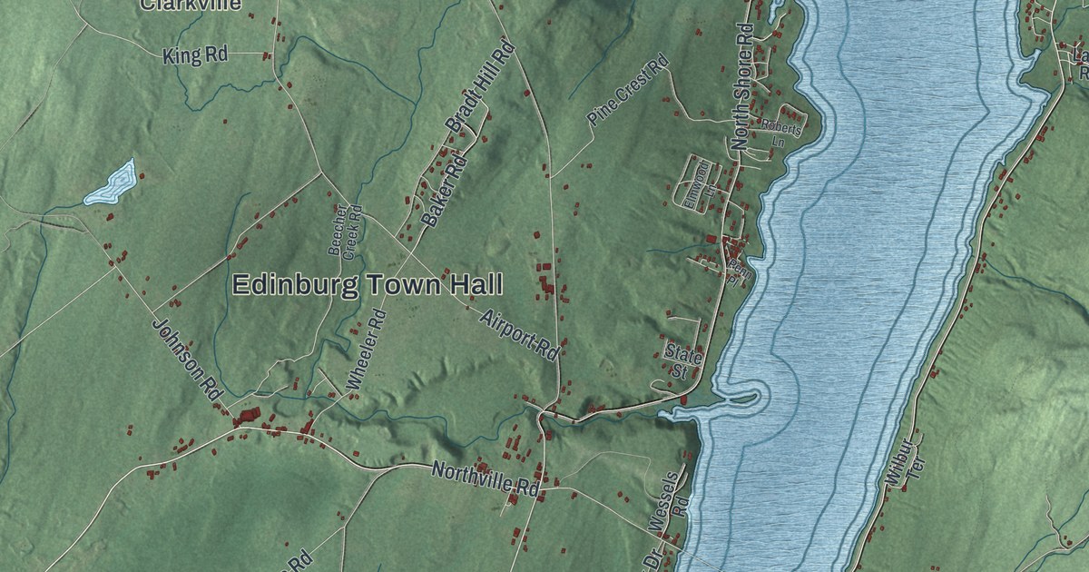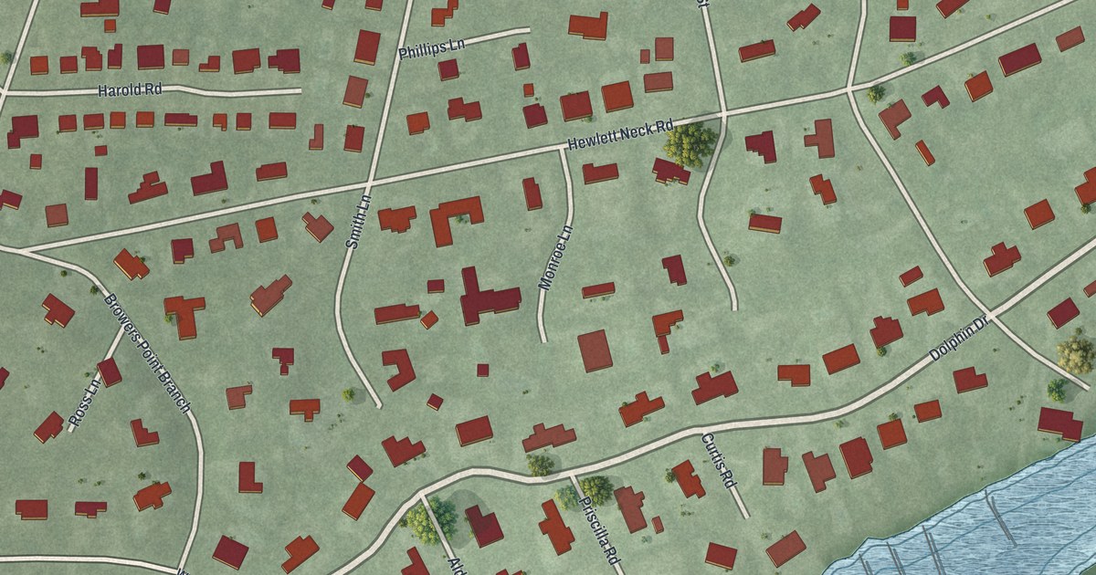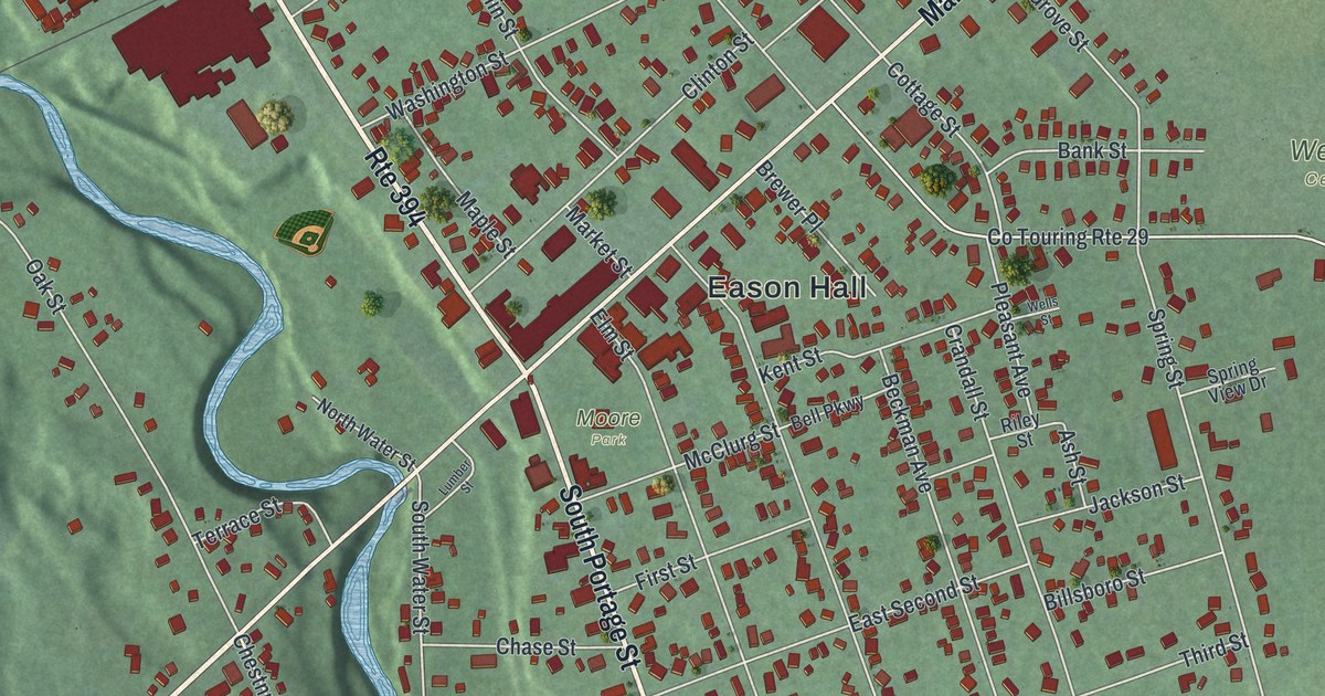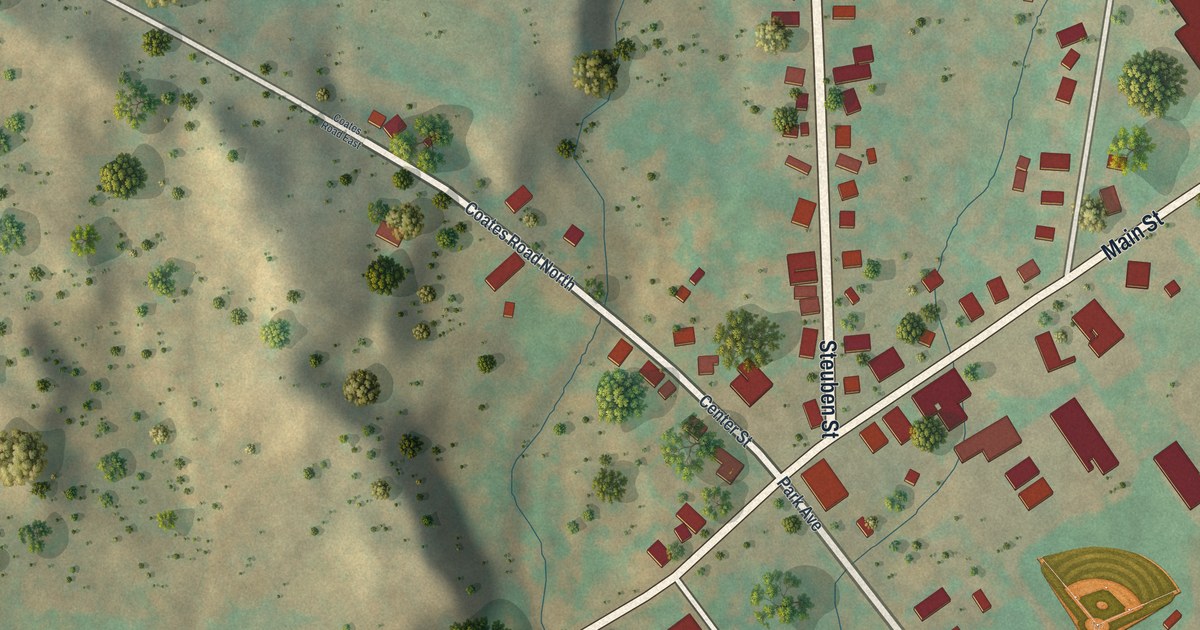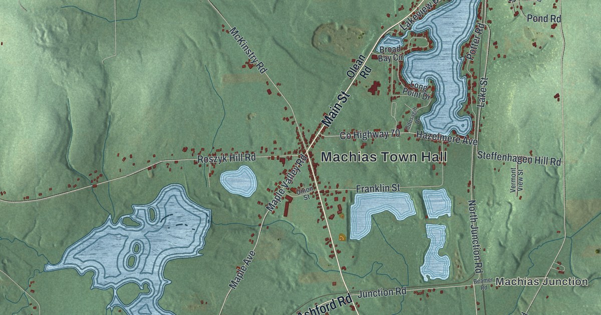
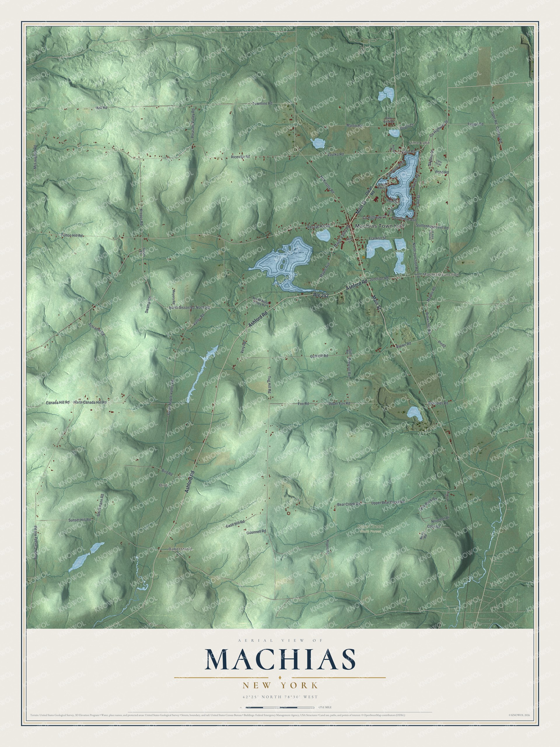
This beautifully detailed map of Machias, New York was created in 2026 using aerial imagery combined with modern topographical, census, street and landmark data. It’s a one-of-a-kind view of Machias that combines accurate data with a vintage aesthetic. The map shows every building in its true location, many of the roads carry their names, and the shaded topographic relief shows the shape of the land.
Explore an aerial view of Machias, New York
On the map you’ll find Machias Town Hall, Bakerstand, Lime Lake, Machias Junction, Bird, and Bear Creek State Forest, along with Main Street, Ashford Road, Olean Road, Sisson Road, and more. If you look closely you can even find your house accurately drawn in its correct location. Zoom in on the preview to look for yours.
Did You Know?
Machias got its name from settlers who came from Maine. The area was first settled around 1813. The town was formed from part of Yorkshire in 1827, and it grew in 1847 when it gained more land from Yorkshire.
Take a closer look at the Machias map
Names on this map
These names are printed on this map.
Places: Machias Town Hall, Bakerstand, Lime Lake, Machias Junction, Bird and Bear Creek State Forest.
Streets and roads: Main Street, Ashford Road, Route 242, North Sisson Road, Brown Road, County Highway 36, Roszyk Hill Road, Marble Road, Maple Valley Road, North Road, Elton Road, Valley Road.
More street names, A to Z
Beamer Road, Bear Creek Road, Bird Road, Broad Bay Circle, Brown Hill Road, Canada Hill Road, Cash Hill Road, Cote Road, County Highway 70, Cutting Road, Felton Hill Road, Fox Road, Franklin Street, Gray Buck Road, Greybuck Road, Gulf Hill Road, Gulf Road, Hall Road, Hazelmere Avenue, Hooper Road, Junction Road, King's Court, Krepps Road, Lake Street, Lakeview Boulevard, Long Point Drive, Maple Avenue, Martin Road, McKinstry Road, McLaughlin Road, Meyers Road, Morin Road, North Canada Hill Road, North Junction Road, North Maple Valley Road, Nouchlel Drive, Odonnell Road, Odosagih Drive, Olean Road, Pine View Drive, Pleasant Valley Road, Pond Road, Potter Road, Prescott Road, Prrd2, Reynolds Road, Riceville Road, Rogers Road, Schrader Road, Sisson Road, Skyline Drive, South Canada Hill Road, South Maple Valley Road, Steckmann Road, Steffenhagen Hill Road, Sunset Drive, Sunset Hill Road, Swamp Road, Tingue Road, Townline Road, Tug Hill Road, Union Street, Upper Bear Creek Road, Upper Fox Road, Upper Hill Road, Vermont View Street, Very Road, Zoulko Road.
See it on a wall
The Machias map as a framed print. Swipe for more.


This beautifully detailed map of Machias makes an attractive addition to your office, library, or den, and it can even be used to teach children the geography and history of the area. It also makes a great gift for anyone with Machias roots. When you’re done exploring, click here to get your copy of the Machias map.