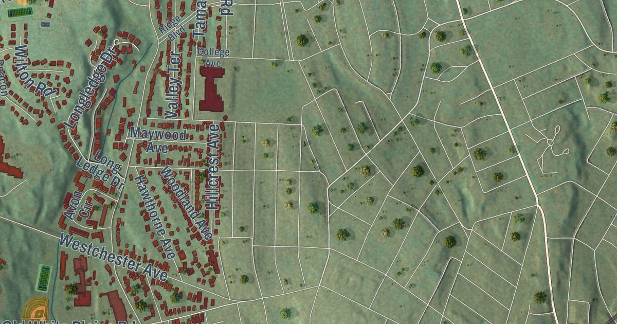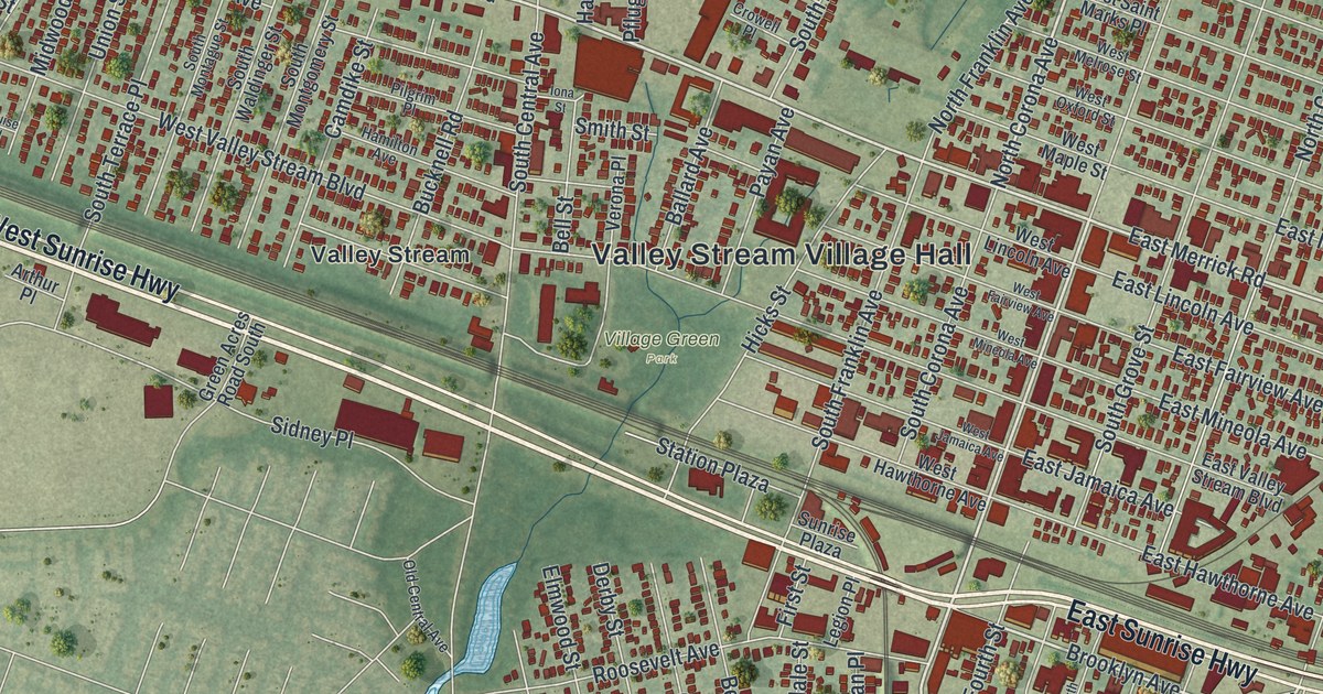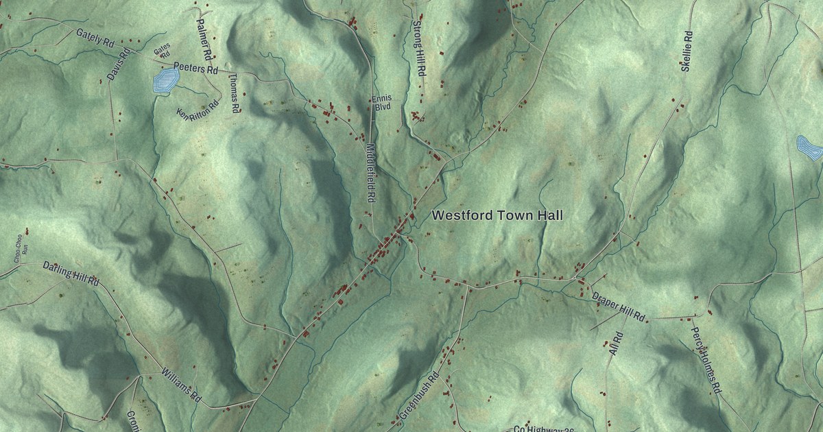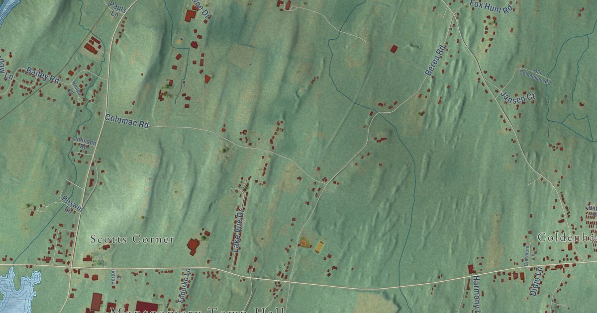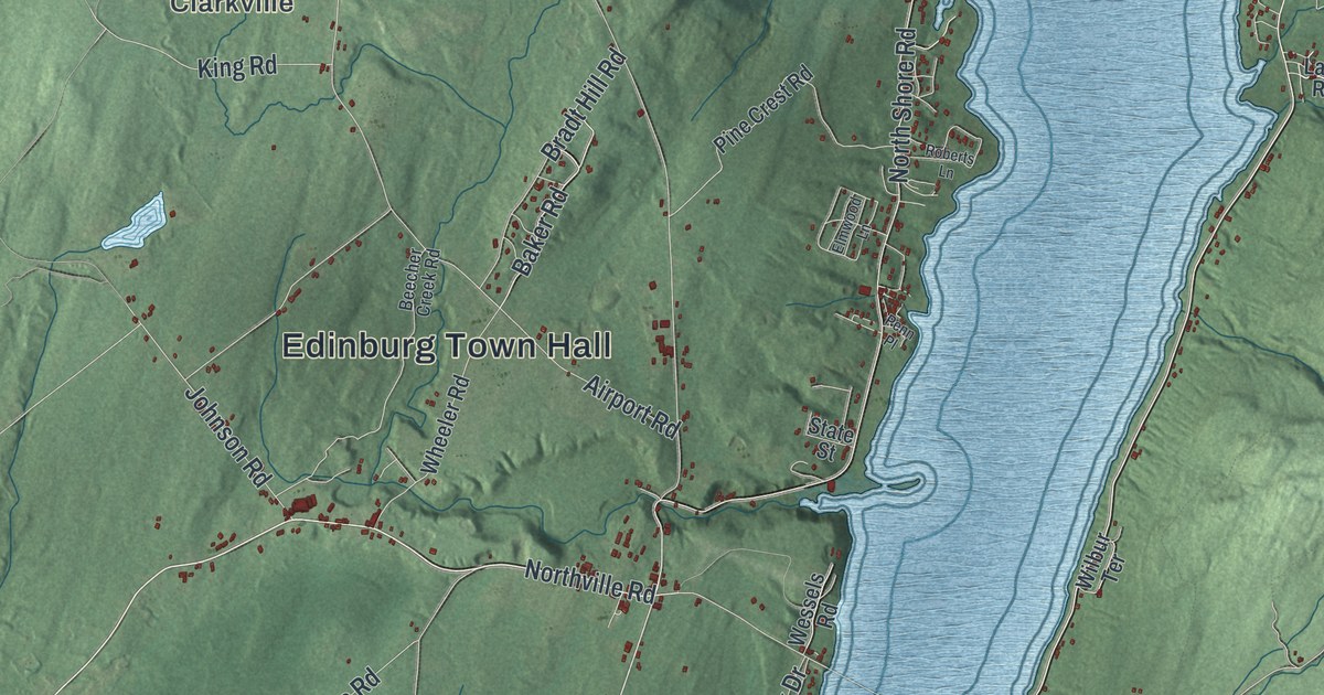
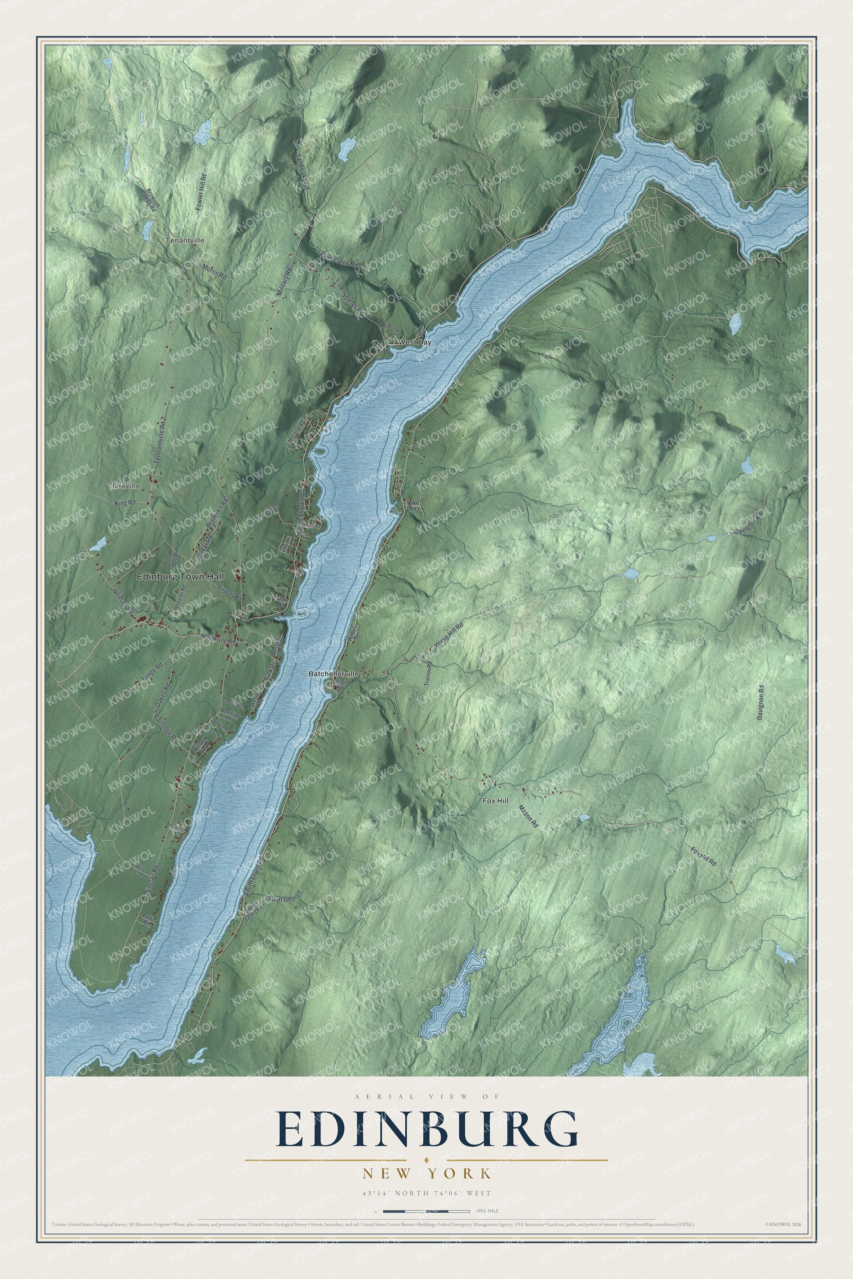
This beautifully detailed map of Edinburg, New York was created in 2026 using aerial imagery combined with modern topographical, census, street and landmark data. It’s a one-of-a-kind view of Edinburg that combines accurate data with a vintage aesthetic. The map shows every building in its true location, many of the roads carry their names, and the shaded topographic relief shows the shape of the land.
Explore an aerial view of Edinburg, New York
On the map you’ll find Edinburg Town Hall, Tenantville, Clarkville, Fox Hill, Batchellerville, and West Day, along with Northville Road, Sinclair Road, Shore Road, Fowler Hill Road, and more. If you look closely you can even find your house accurately drawn in its correct location. Zoom in on the preview to look for yours.
Did You Know?
Edinburg’s mills once turned local timber into woodenware. Fires in the early 1880s destroyed many mills, and about a third of residents moved away for work. In 1930 the Conklingville Dam closed its gates. By 1931 rising water from Sacandaga Reservoir covered the valley. Today its shores hold hundreds of seasonal homes.
Take a closer look at the Edinburg map
Names on this map
These names are printed on this map.
Places: Edinburg Town Hall, Tenantville, Clarkville, Fox Hill, Batchellerville and West Day.
Streets and roads: Northville Road, Sinclair Road, South Shore Road, Fowler Hill Road, Baker Road, Fox Hill Road, Military Road, Tennantville Road, North Shore Road, Oavignon Ed, Horse Hill Road, Sand Creek Road.
More street names, A to Z
Airport Road, Beecher Creek Road, Bradt Hill Road, Brownell Camps Road, Bruce Boulevard, Bullis Road, Butternut Hill, Davignon Road, Degolia Road, Elmwood Lane, Farmers Lane, Fireplace Road, Hilltop Drive, Jensen Road, Johnson Road, King Road, Lakeland Road, Lake Road, Lakeside Avenue, Mason Road, Morris Road, Oakes Road, Park Drive, Partridge Road, Penn Place, Pine Crest Road, Prim Rose Lane, Roberts Lane, Rockwell Lane, Saint George, Saint George Lane, Sand Lake Road, Scott Lane, Shields Road, State Street, Tange Road, Trainor Road, Wessels Road, Wheeler Road, White Birch Road, Wilbur Terrace, Wozniak Lane.
See it on a wall
The Edinburg map as a framed print. Swipe for more.


This beautifully detailed map of Edinburg makes an attractive addition to your office, library, or den, and it can even be used to teach children the geography and history of the area. It also makes a great gift for anyone who grew up in Edinburg or moved away. When you’re done exploring, click here to get your copy of the Edinburg map.