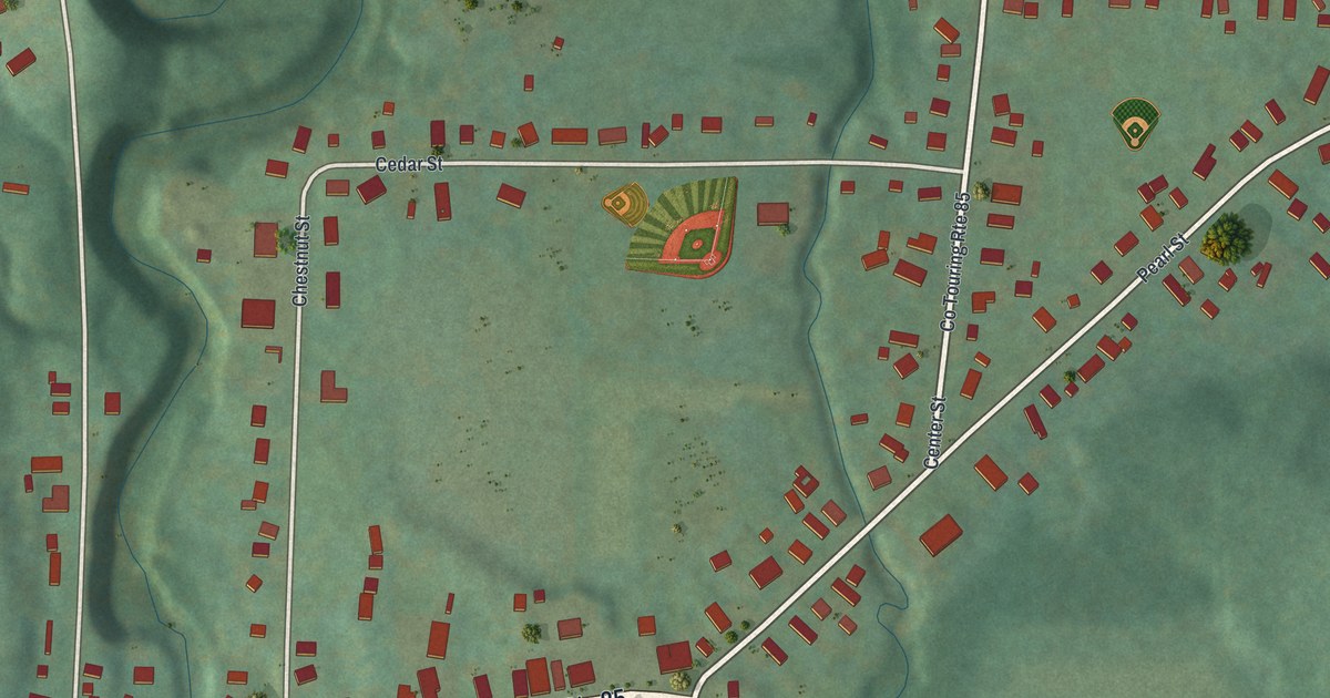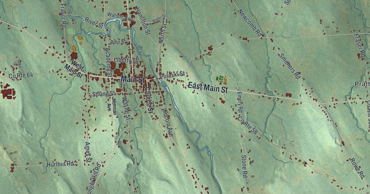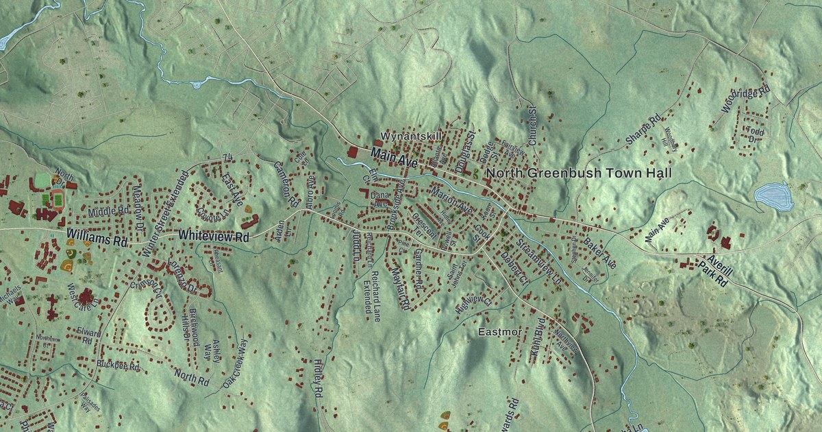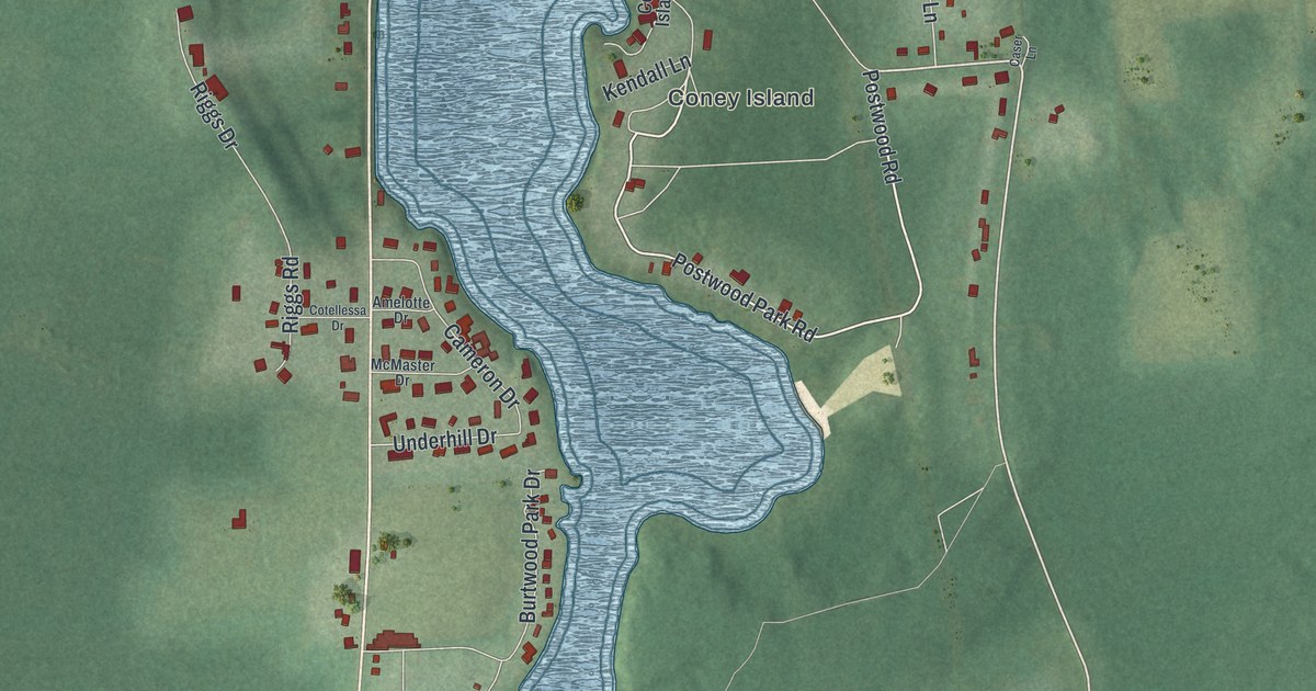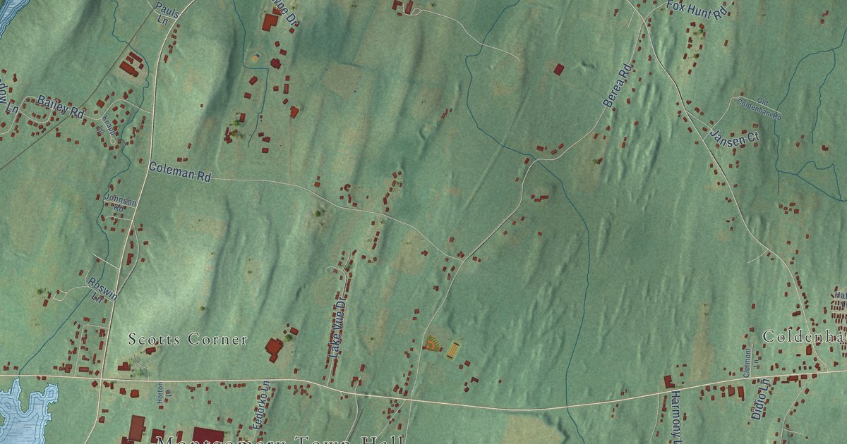
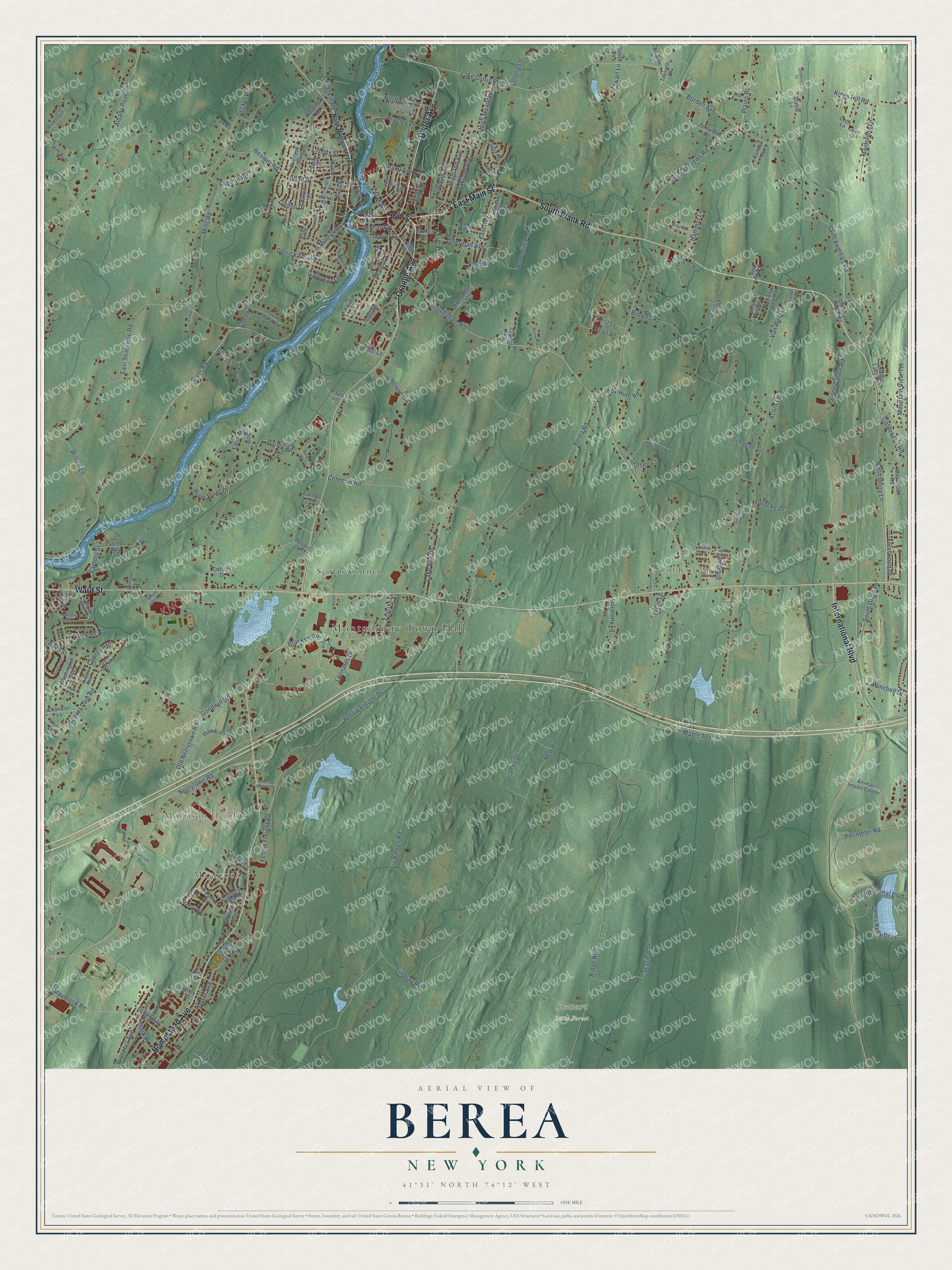
This beautifully detailed map of Berea, New York was created in 2026 using aerial imagery combined with modern topographical, census, street and landmark data. It’s a one-of-a-kind view of Berea that combines accurate data with a vintage aesthetic. The map shows every building in its true location, many of the roads carry their names, and the shaded topographic relief shows the shape of the land.
Explore an aerial view of Berea, New York
On the map you’ll find Montgomery Town Hall, Maybrook, Morrison Heights, Coldenham, Stewart State Forest, and Scotts Corner, along with South Plank Road, Homestead Avenue, Ulster Avenue, Orange Avenue, East Main Street, International Boulevard, and more. If you look closely you can even find your house accurately drawn in its correct location. Zoom in on the preview to look for yours.
Did You Know?
From Internet Archive: "The church was organized under the statute of the State by the name of Berea, which was suggested by Elder Thomas McKissock, and adopted by the congregation."
Berea is a community in Orange County.
Take a closer look at the Berea map
Names on this map
These names are printed on this map.
Places: Montgomery Town Hall, Maybrook, Morrison Heights, Coldenham, Stewart State Forest, Scotts Corner and Wanderling Park.
Streets and roads: South Plank Road, Homestead Avenue, Ulster Avenue, Orange Avenue, East Main Street, International Boulevard, Ward Street, River Road, Neelytown Road, East Searsville Road, Borden Avenue, South Montgomery Street.
More street names, A to Z
Acorn Drive, Albany Avenue, Albany Post Road, Alfred Place, Angelo Drive, Animal Import Center, Antonelli Lane, Autumn Leaf Court, Bailey Road, Barron Road, Beamer Road, Beaver Dam Road, Bel Air Court, Berea Road, Blake Road, Bookstaver Lane, Borden Road, Bowne Drive, Boyd Street, Bracken Road, Bradley Lane, Brazien Court, Briarwood Lane, Broadway, Brook Road, Browns Road, Capron Street, Cavalin Drive, Chandler Lane, Chris Lane, Clair Drive, Clark Place, Clermont Lane, Cliff Street, Coldenham Road, Colden Hill Road, Coleman Road, Conklin Lane, Conroy Avenue, Country Club Drive, Country Road, Crist Lane, Daisy Lane, Decker Drive, Decker Road, Delong Lane, Derrick Lane, Didio Lane, Dimartino Court, Drillers Lane, East Avenue, Edmunds Lane, Elm Street, Evergreen Lane, Factory Street, Farm Meadow Lane, Fedorko Lane, First Street, Fleetwood Drive, Fox Hunt Road, Galloway Lane, Goodwill Road, Grand View Terrace, Grant Street, Hammer Lane, Hanson Drive, Harmony Lane, Harts Lane, Harvest Court, Hatter Lane, Hawkins Drive, Henry Henning Drive, Highland Avenue, High Meadows, Hill Avenue, Hill Street, Holiday Park Road, Holly Lane, Horton Lane, Houston Street, Houtman Drive, Ichabod Lane, Indian Trail, James Kelly Drive, Jamieson Drive, Jansen Court, Johnson Road, John Street, Keith Lane, Kent Lane, Kerry Drive, Kings Hill Road, Knapp Lane, Kool Lane, Lake Osiris Road, Lake Vue Drive, Leonards Drive, Liberty Street, Linden Drive, Lindsay Road, Lira Lane, Little Lane, Loch Lane, Lotocke Drive, Madison Avenue, Maidstone Drive, Main Street, Maple Avenue, Maple Street, Mark Twain Drive, Maybrook Road, Maywood Road, Middle School Road, Mill Place, Mills Road, Mountain View Terrace, New Road, Noelle Drive, North Drury Lane, Northern Avenue, North Montgomery Street, Oakland Avenue, Oak Street, Old Coldenham Road, Old Neelytown Road, Old South Plank Road, Orange Lake Road, Orchard Street, Orlando Drive, Overlook Terrace, Patchett Way, Paul Lane, Pauls Lane, Penny Lane, Perimeter Road, Pine Street, Plains Road, Pleasant Avenue, Pond Road, Princeton Drive, Prospect Avenue, Purple Heart Way, Rakov Road, Randall Avenue, Rapelje Road, Ridge Road, River Point Drive, Riverview Street, Robert Street, Roswin Lane, Saint Andrews Road, Saracino Drive, Schroeder Lane, Scofield Lane, Scofield Street, Second Street, Seely Street, Sherman Avenue, Shipps Lane, Silo Drive, Smith Lane, South Drury Lane, Stable Lane, Stone Castle Road, Stunton Circle, Summer Set Drive, Sundown Drive, Sunny Place, Tassielli Drive, Third Street, Tompkins Road, Tower Avenue, Twin Island Circle, Tyler Street, Valley Avenue, Van Dale Court, Van Wert Lane, Velde Court, Wait Street, Walker Street, Wallkill Road, Walnut Street, Washington Avenue, Water Wheel Drive, Watkins Drive, Westwood Drive, Wileman Avenue, Wiley Street, Willow Lane, Wilson Lane, Winchell Drive, Yale, Yellow Freight Drive, Yellow Freight Road, Zwart Lane.
See it on a wall
The Berea map as a framed print. Swipe for more.


This beautifully detailed map of Berea makes an attractive addition to your office, library, or den, and it can even be used to teach children the geography and history of the area. It also makes a great gift for anyone who grew up in Berea or moved away. When you’re done exploring, click here to get your copy of the Berea map.