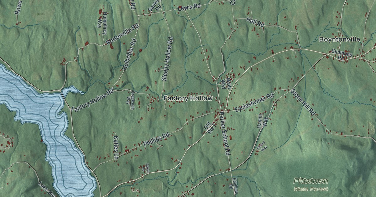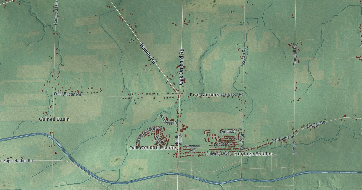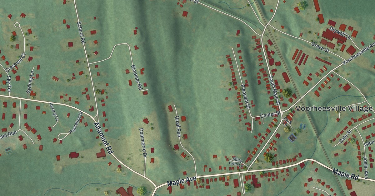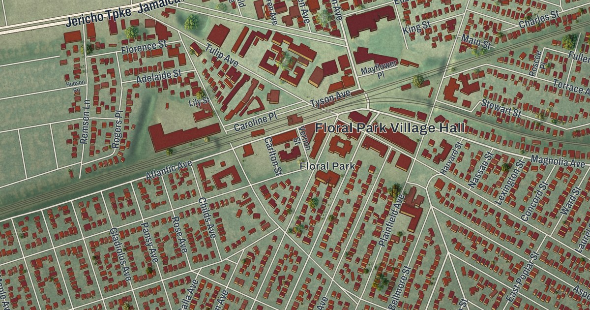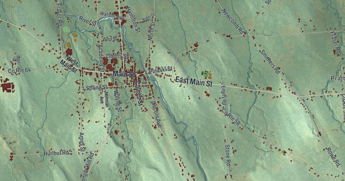
This beautifully detailed map of Mexico, New York was created in 2026 using aerial imagery combined with modern topographical, census, street and landmark data. It’s a one-of-a-kind view of Mexico that combines accurate data with a vintage aesthetic. The map shows every building in its true location, many of the roads carry their names, and the shaded topographic relief shows the shape of the land.
Explore an aerial view of Mexico, New York
On the map you’ll find Texas, Arthur, Colosse, Graftons Square, and Maple View, along with Main Street, Scenic Avenue, Church Street, Norman Avenue, La Casse Road, and more. If you look closely you can even find your house accurately drawn in its correct location. Zoom in on the preview to look for yours.
Did You Know?
Mexico’s people took a stand against slavery. As early as 1835, they signed petitions to Washington asking for its end. Asa Wing traveled across the state, urging voters to press for laws against owning slaves. Starr Clark led the local Underground Railroad as the area’s station master.
Take a closer look at the Mexico map
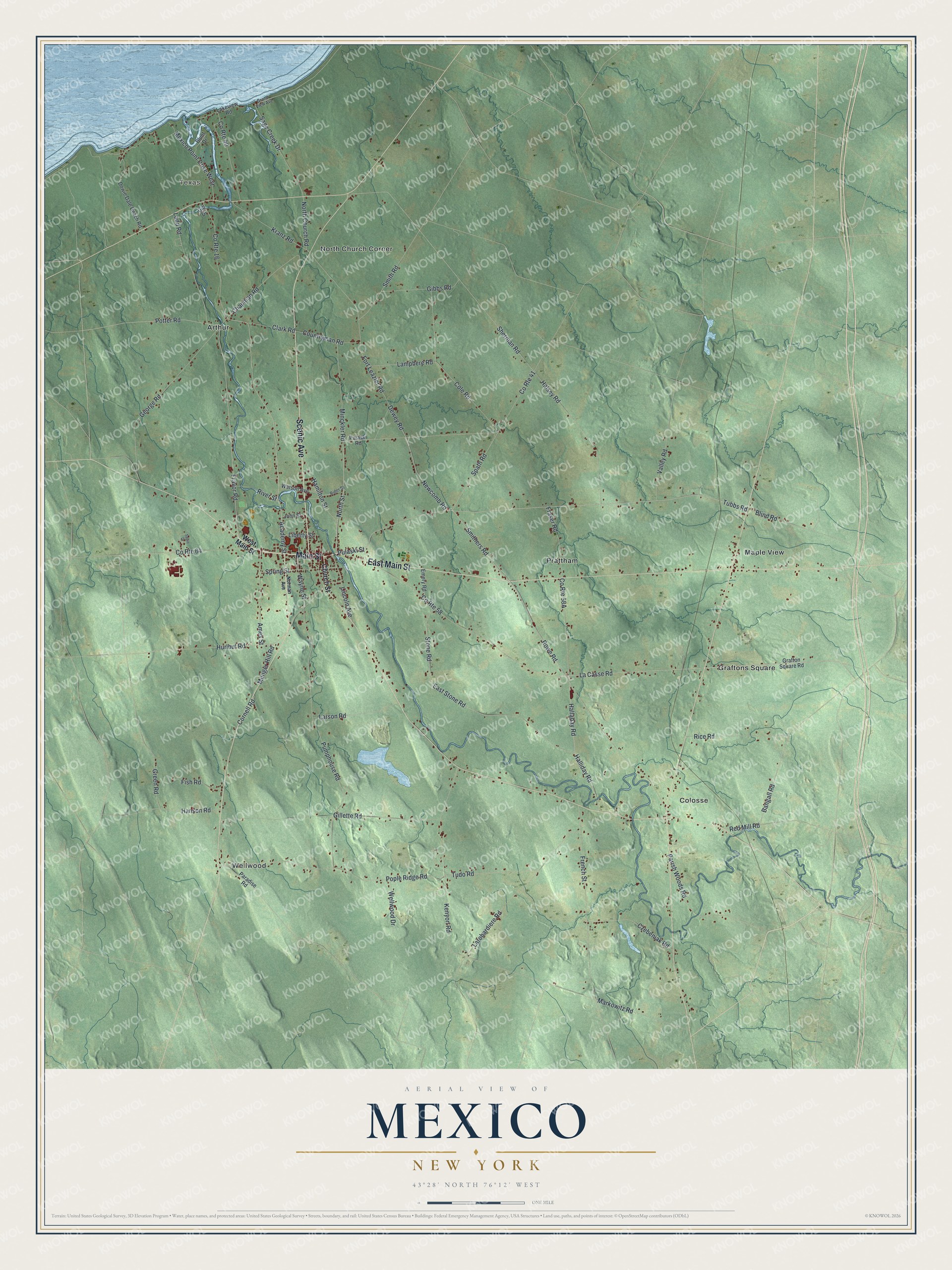
Names on this map
These names are printed on this map.
Places: Texas, Arthur, Colosse, Graftons Square, Maple View, North Church Corner, Prattham and Wellwood.
Streets and roads: Main Street, Scenic Avenue, East Main Street, County Route 58, La Casse Road, Rowe Road, Smithers Road, Spath Road, Pulaski Street, Fravor Road, Tubbs Road, Potter Road.
More street names, A to Z
Academy Street, Ames Street, Bangall Road, Blind Road, Blunt Drive, Chapman Road, Church Street, Clark Road, Cole Road, Cornell Road, Countryman Road, County Route 16, County Route 40, County Route 41, County Route 64, Czebeniak Road, Dewey Road, Dowie Dale Beach Road, East Stone Road, Emery Road, Fish Road, Fort Leazier Road, Fraser Road, French Street, George Road, Gibbs Road, Gill Drive, Gillette Road, Grafton Square Road, Grand View Avenue, Green Road, Halladay Road, Halliday Road, Halsey Road, Hamilton Street, Hanson Road, Hurlbut Road, John Street, Kenyon Road, Kranz Road, Ladd Road, Lakeview Road, Lamphere Road, Larobardiere Road, Larson Road, Liberty Street, Lincoln Avenue, Markowitz Road, Mexico Point Drive West, Minckler Road, Munger Hill Road, Newcomb Road, Norman Avenue, North Church Road, North Street, Paradise Road, Parish Woods Road, Pople Ridge Road, Pulaski Road, Pumphouse Road, Red Mill Road, Rice Road, Rider Street, River Street, Sabill Drive, Sage Creek Drive, Sherman Road, Smith Road, Spring Street, Stone Road, Tudo Road, Valley Road, Watson Avenue, Wayne Street, Wellwood Drive, West Main Street.
See it on a wall
The Mexico map as a framed print. Swipe for more.


This beautifully detailed map of Mexico makes an attractive addition to your office, library, or den, and it can even be used to teach children the geography and history of the area. It also makes a great gift for anyone who grew up in Mexico or moved away. When you’re done exploring, click here to get your copy of the Mexico map.