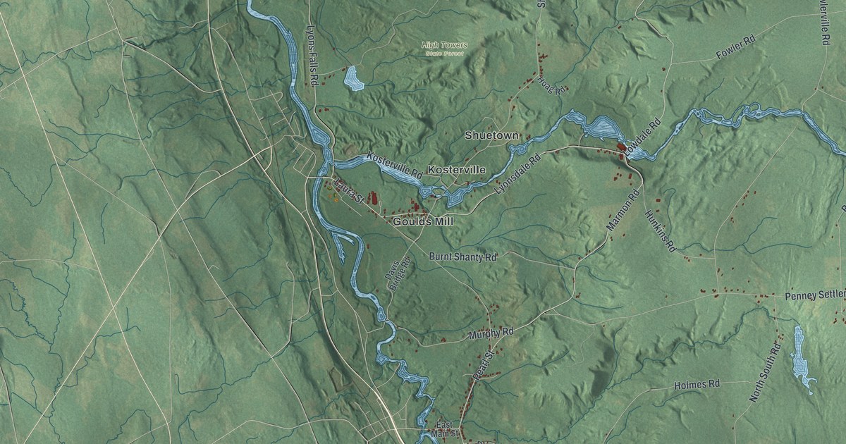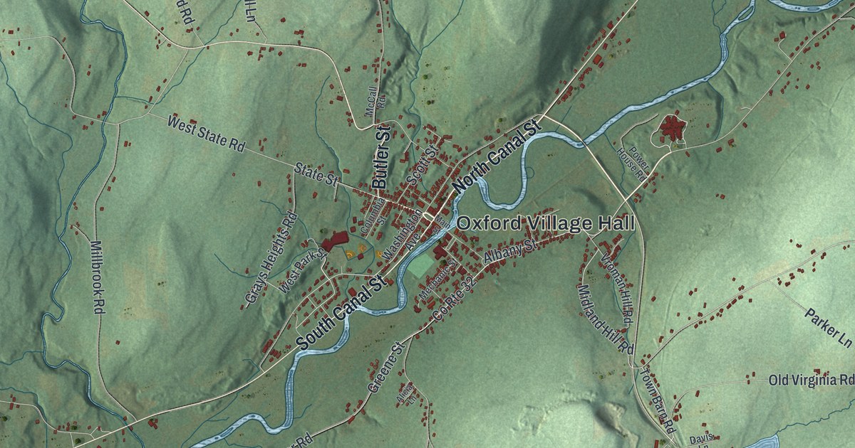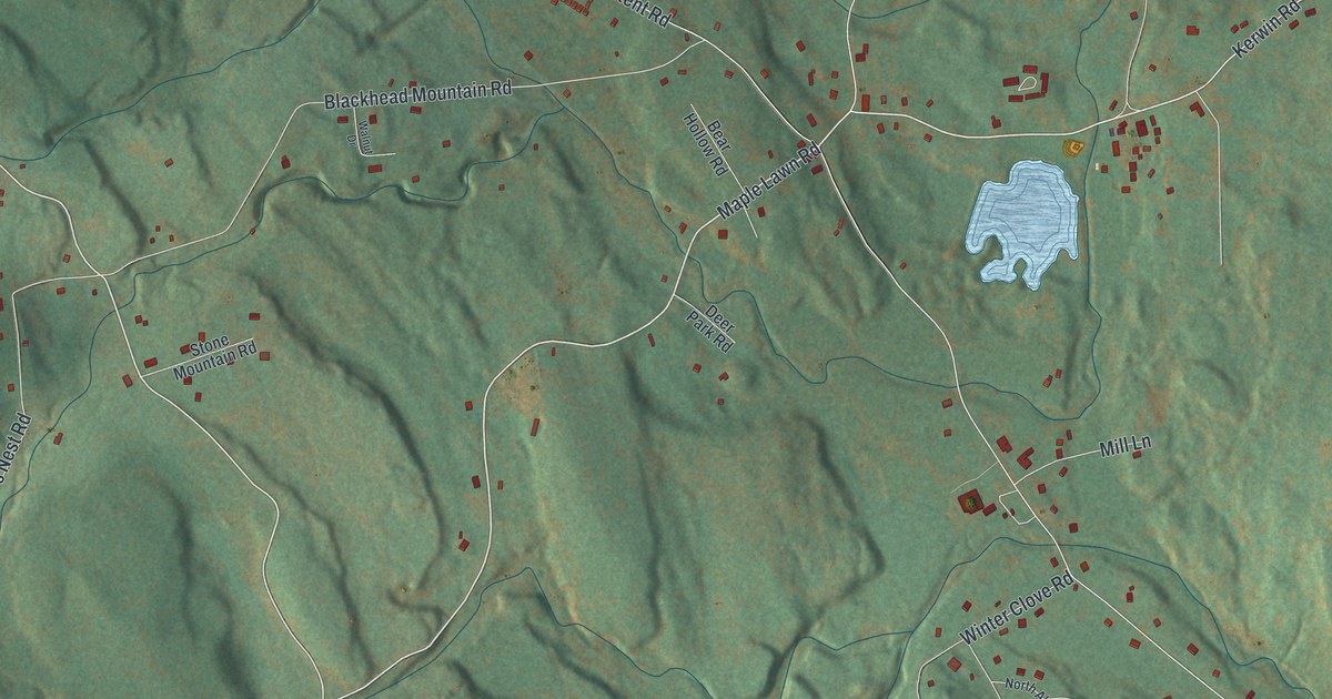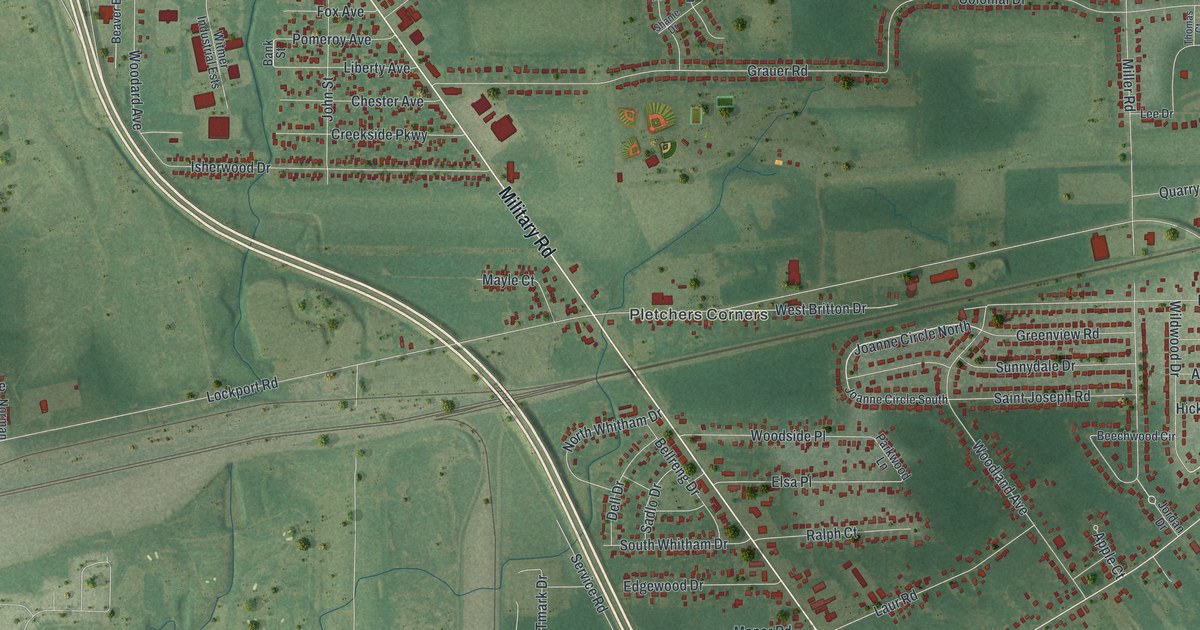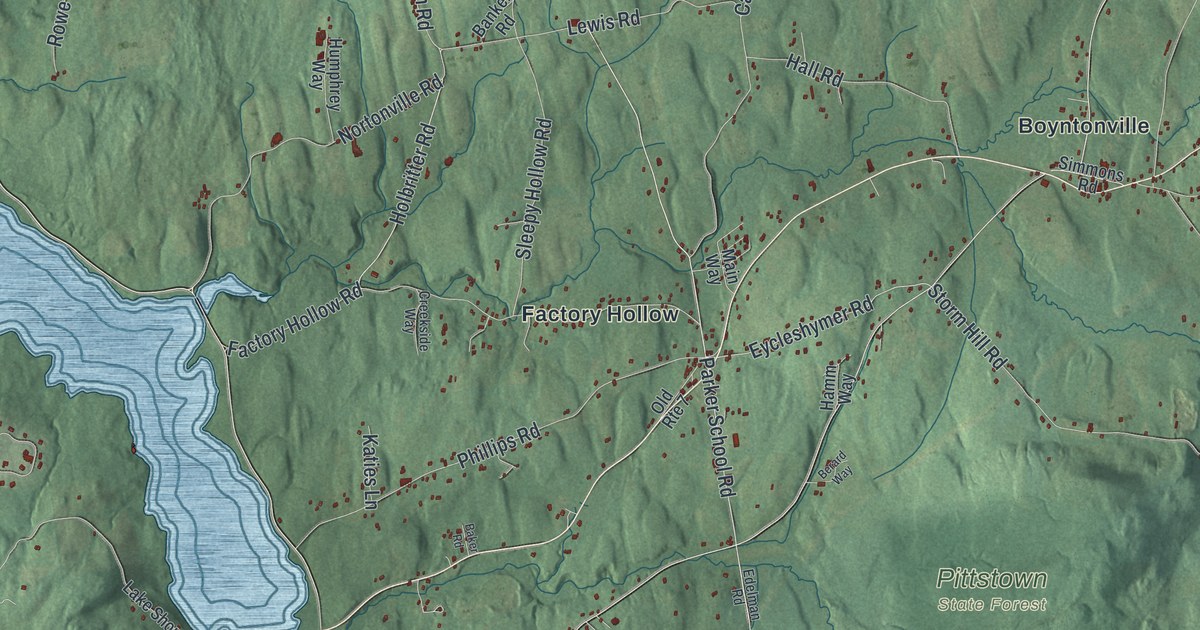
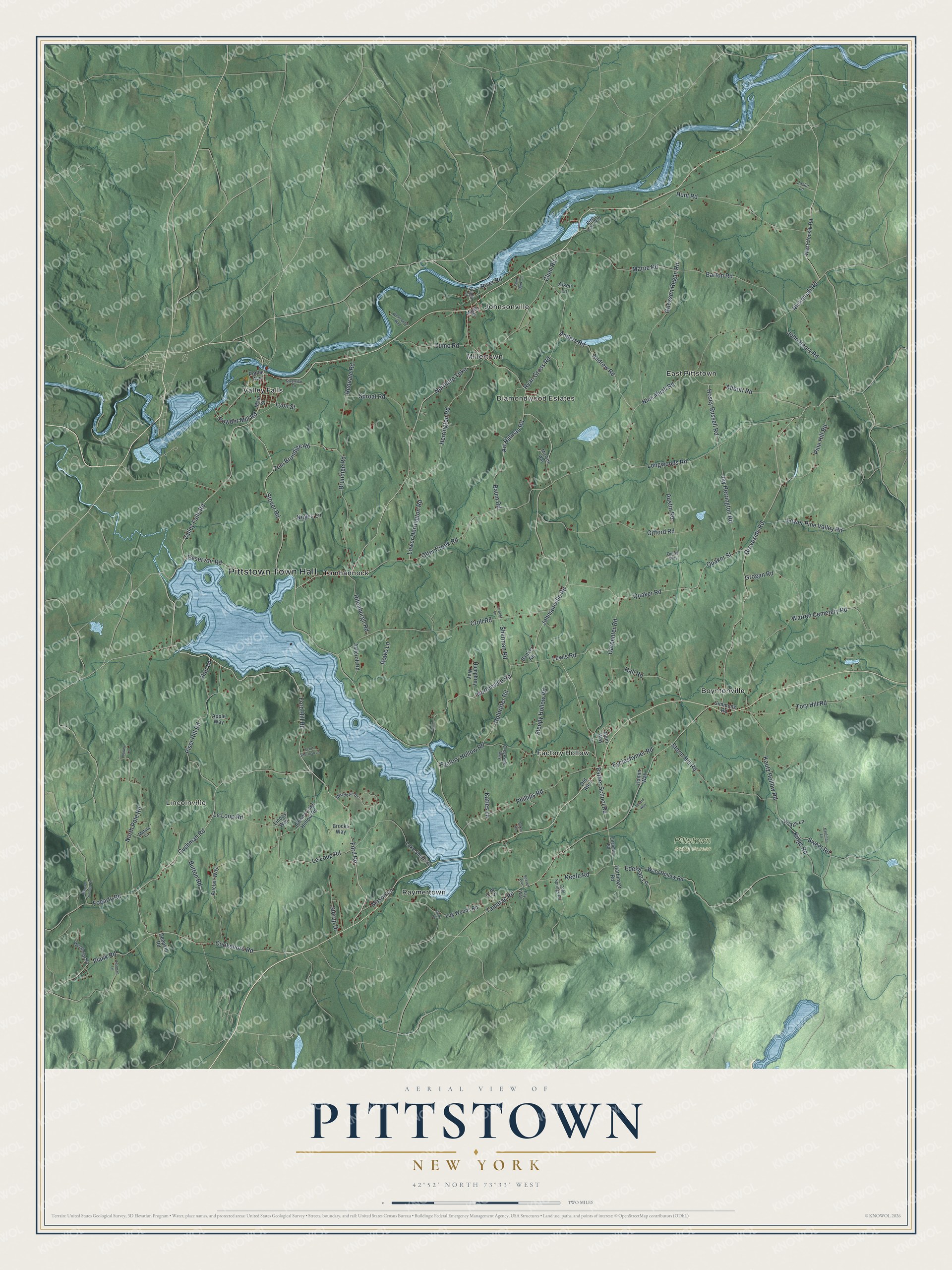
This beautifully detailed map of Pittstown, New York was created in 2026 using aerial imagery combined with modern topographical, census, street and landmark data. It’s a one-of-a-kind view of Pittstown that combines accurate data with a vintage aesthetic. The map shows every building in its true location, many of the roads carry their names, and the shaded topographic relief shows the shape of the land.
Explore an aerial view of Pittstown, New York
On the map you’ll find Pittstown Town Hall, Lincolnville, Boyntonville, East Pittstown, Factory Hollow, and Johnsonville, along with Ford Road, Ford Hill Road, Cushman Road, Cooksboro Road, and more. If you look closely you can even find your house accurately drawn in its correct location. Zoom in on the preview to look for yours.
Did You Know?
Pittstown was named in honor of William Pitt, Earl of Chatham. At the time, Pitt was the leading statesman of England. A royal patent under King George III made the tract a township, to be known as Pittstown forever after. That’s from the 1880 History of the Seventeen Towns of Rensselaer County.
Take a closer look at the Pittstown map
Names on this map
These names are printed on this map.
Places: Pittstown Town Hall, Lincolnville, Pittstown State Forest, Boyntonville, Diamondwood Estates, East Pittstown, Factory Hollow, Johnsonville, Millertown, Raymertown, Tomhannock and Valley Falls.
Streets and roads: Ford Road, Ford Hill Road, Valley Falls Road, Cushman Road, Cooksboro Road, Powder Mill Road, Northern Turnpike, Le Loup Road, Herrington Road, Parker School Road, Keefe Road, Brundige Road.
More street names, A to Z
Abbott Road, Aiken Lane, Anders Road, Andrew Road, Apple Way, Art Hillman Road, Ashcroft Road, Auclair Way, Austin Road, B'S Lane, Baker Road, Banker Road, Barton Road, Baum Road, Berard Way, Bornt Road, Bridge Street, Brocks Way, Button Road, Carpenter Road, Clum Road, Cold Springs Road, Creekside Way, Croll Road, Cumo Road, Deepkill Road, Edelman Lane, Edelman Road, Eycleshymer Road, Factory Hollow Road, Fay Way, Fogarty Road, Gifford Road, Goossen Regan Road, Grogan Road, Groveside Road, Hair Lane, Hall Road, Hamm Way, Harbinger Road, Hoags Lane, Holbritter Road, Hosey Russell Road, Humphrey Way, Hunt Road, Jay Herrington Road, Jewett Lane, John Henry Road, Johnny Cake Hollow Road, Johnsonville Road, Joslin Lane, Katies Lane, Kaufman Lane, Kautz Hollow Road, Kings Road, Lake Shore Road, Le Loop Road, Lewclif Lane, Lewis Road, Lindas Way, Log Woods Road, Longwoods Road, Lower Herrington Road, Lower Pine Valley Road, Lyon Street, Main Street, Main Way, Maple Street, Marpe Road, Mason Lane, Matala Lane, Meadows Drive, Miclette Way, Mineral Springs Road, Nickmush Road, Nick Mush Road, Norman Lane, North Pole Road, Nortonville Road, Noyes Lane, Old Route 7, Otter Creek Road, Phillips Road, Pine Hill Road, Pine Lake Way, Piser Hill Road, Plank Road, Poplar Avenue, Quaker Road, Quaker Street, Quinn Way, Requate Road, Reservoir Road, Rifenburgh Road, River Road, Riverview Drive, Rowe Lane, Ryan Gross Road, Sand Bank Lane, Scott Sherman Lane, Seaver Way, Sherman Road, Simmons Road, Sleepy Hollow Road, Sproat Road, Sterup Drive, Storm Hill Road, Stover Road, Sweet Road, Tamarac Road, Tom Brundige Road, Tory Hill Road, Ward Hollow Road, Warren Cemetery Road, Wentodular Way, West Hoosik Road, Woodview Road.
See it on a wall
The Pittstown map as a framed print. Swipe for more.


This beautifully detailed map of Pittstown makes an attractive addition to your office, library, or den, and it can even be used to teach children the geography and history of the area. It also makes a great gift for anyone who grew up in Pittstown or moved away. When you’re done exploring, click here to get your copy of the Pittstown map.