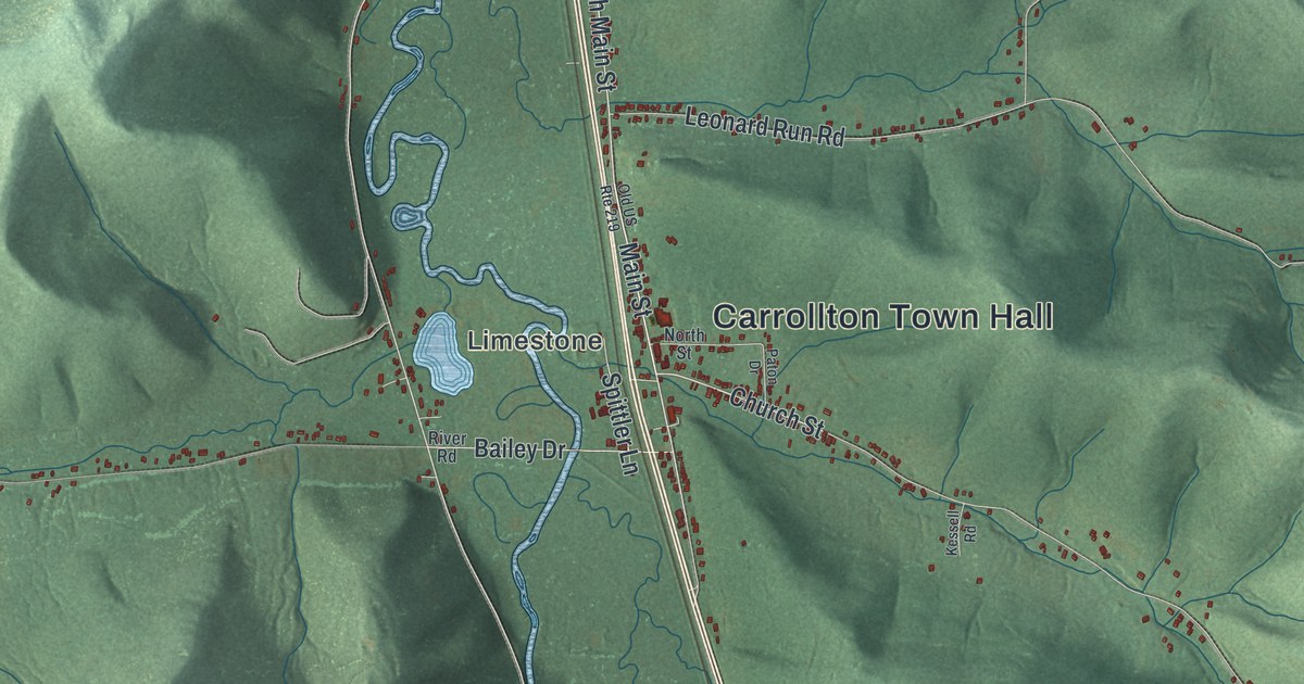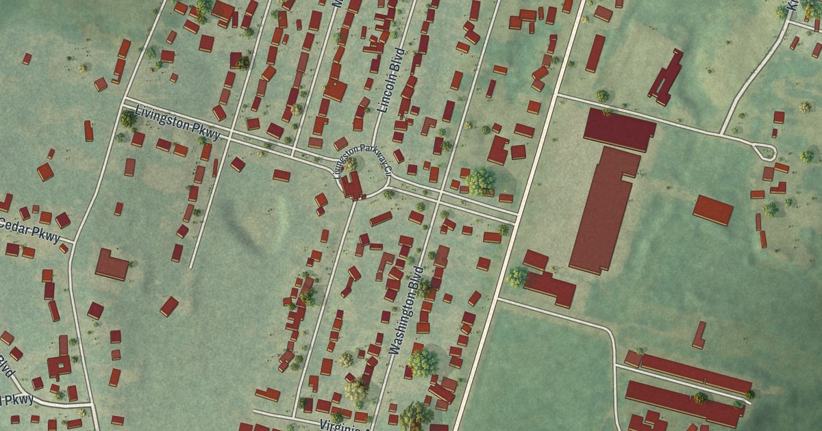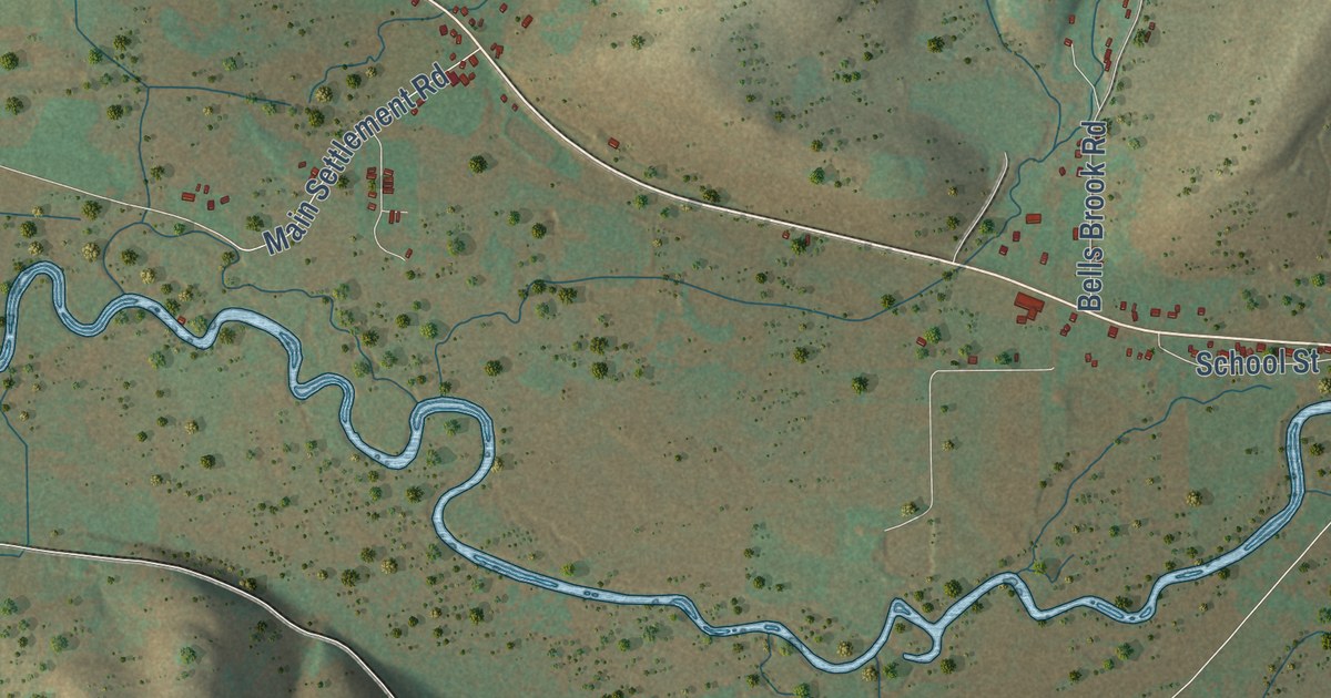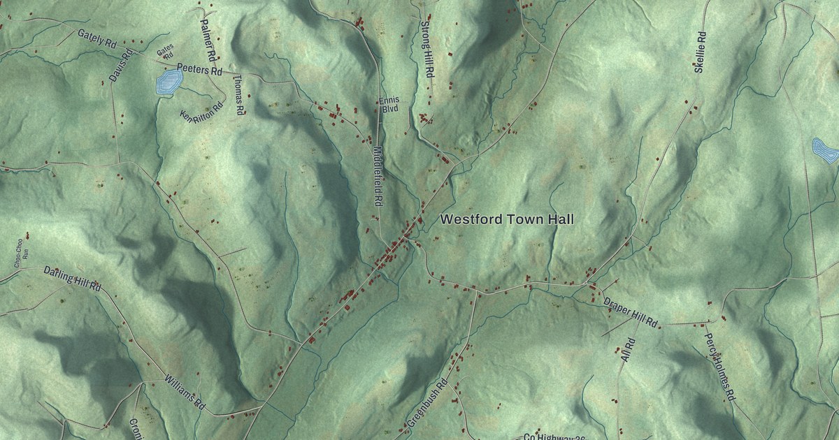
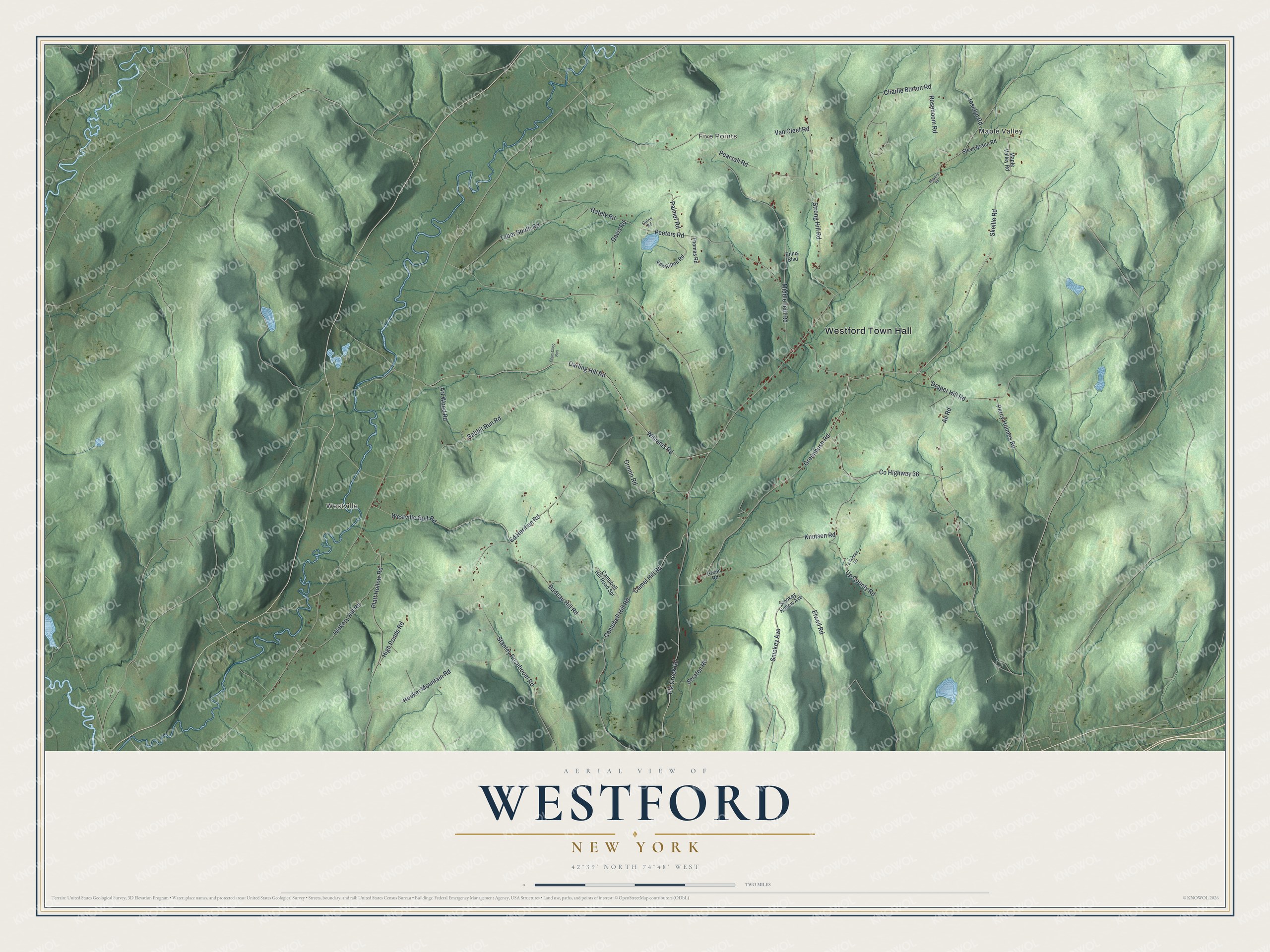
This beautifully detailed map of Westford, New York was created in 2026 using aerial imagery combined with modern topographical, census, street and landmark data. It’s a one-of-a-kind view of Westford that combines accurate data with a vintage aesthetic. The map shows every building in its true location, many of the roads carry their names, and the shaded topographic relief shows the shape of the land.
Explore an aerial view of Westford, New York
On the map you’ll find Westford Town Hall, Westville, Maple Valley, and Five Points, along with Skellie Road, Williams Road, Darling Hill Road, Elwell Road, and more. If you look closely you can even find your house accurately drawn in its correct location. Zoom in on the preview to look for yours.
Did You Know?
Pioneers from Vermont first settled Westford around 1790. Through that decade, more New Englanders hungry for land poured in. These newcomers set up the town’s first churches and schools. In 1808 Westford was split off from Worcester and became a town of its own.
Take a closer look at the Westford map
Names on this map
These names are printed on this map.
Places: Westford Town Hall, Westville, Maple Valley and Five Points.
Streets and roads: Skellie Road, County Highway 36, Williams Road, Darling Hill Road, Elwell Road, Middlefield Road, Rabbit Run Road, Greenbush Road, Strong Hill Road, Stanley Roseboom Road, Badeau Hill Road, Charlie Burton Road.
More street names, A to Z
All Road, Art Wood Road, Camel Hill Road, Campbell Hill Road, Campbell Hill Road Spr, Choo-Choo Run, Cronin Road, Davis Road, Draper Hill Road, Ed Herman Road, Elk Creek Road, Ennis Boulevard, Gately Road, Gates Road, Green Road, Hickory Hill Road, High Ponds Road, Hooker Mountain Road, Joselyn Road, Ken Ritton Road, Knutsen Road, Lg Bentley Road, Maple Valley Road, Meyers Road, Palmer Road, Pearsall Road, Peeters Road, Percy Holmes Road, Platt Hollow Road, Roseboom Road, Serafen Road, Smokey Avenue, Smokey Hollow Avenue, Steve Braun Road, Tabor South Road, Thomas Road, Up County Road, Van Cleef Road, Westville Gulf Road.
See it on a wall
The Westford map as a framed print. Swipe for more.


This beautifully detailed map of Westford makes an attractive addition to your office, library, or den, and it can even be used to teach children the geography and history of the area. It also makes a great gift for anyone who grew up in Westford or moved away. When you’re done exploring, click here to get your copy of the Westford map.