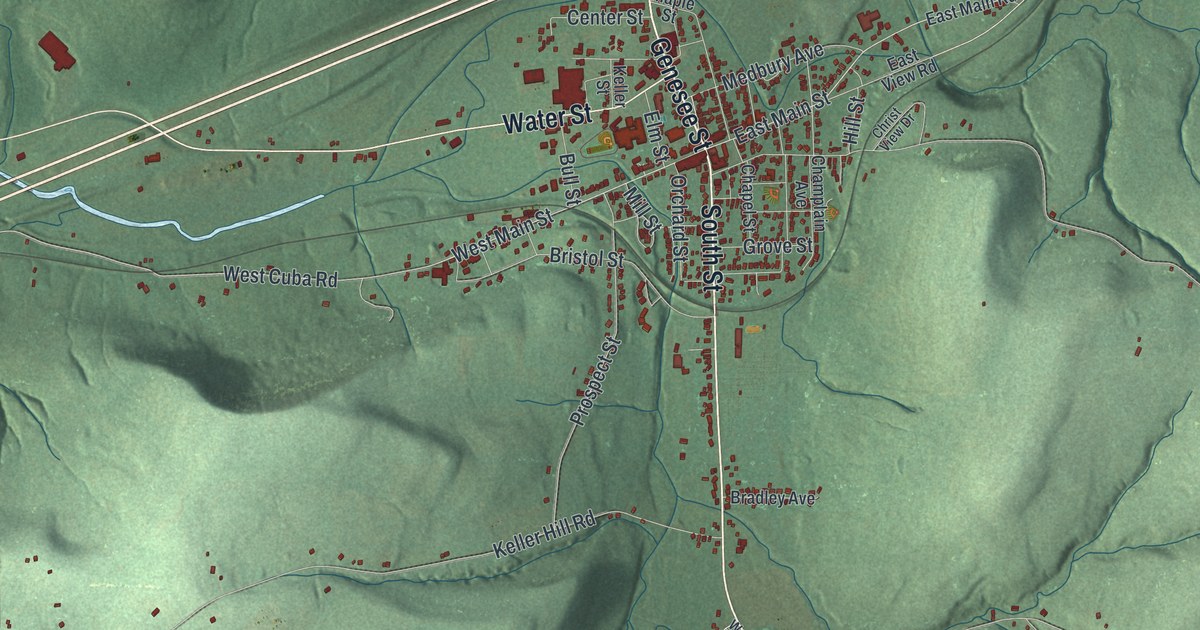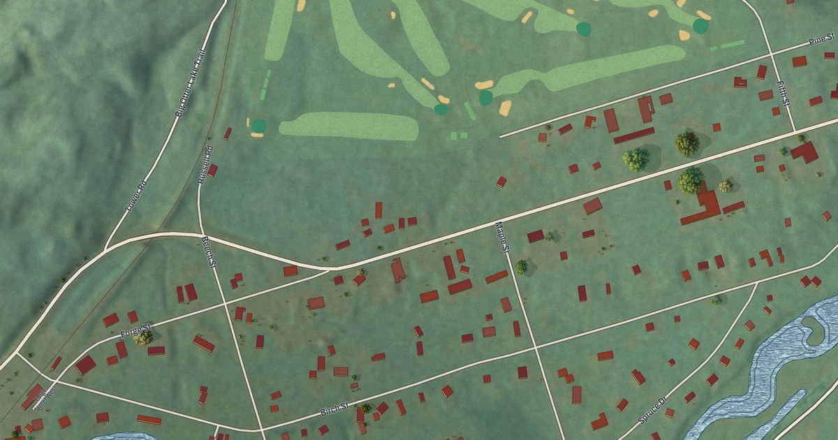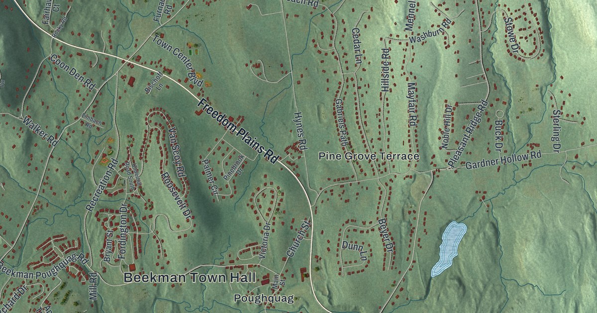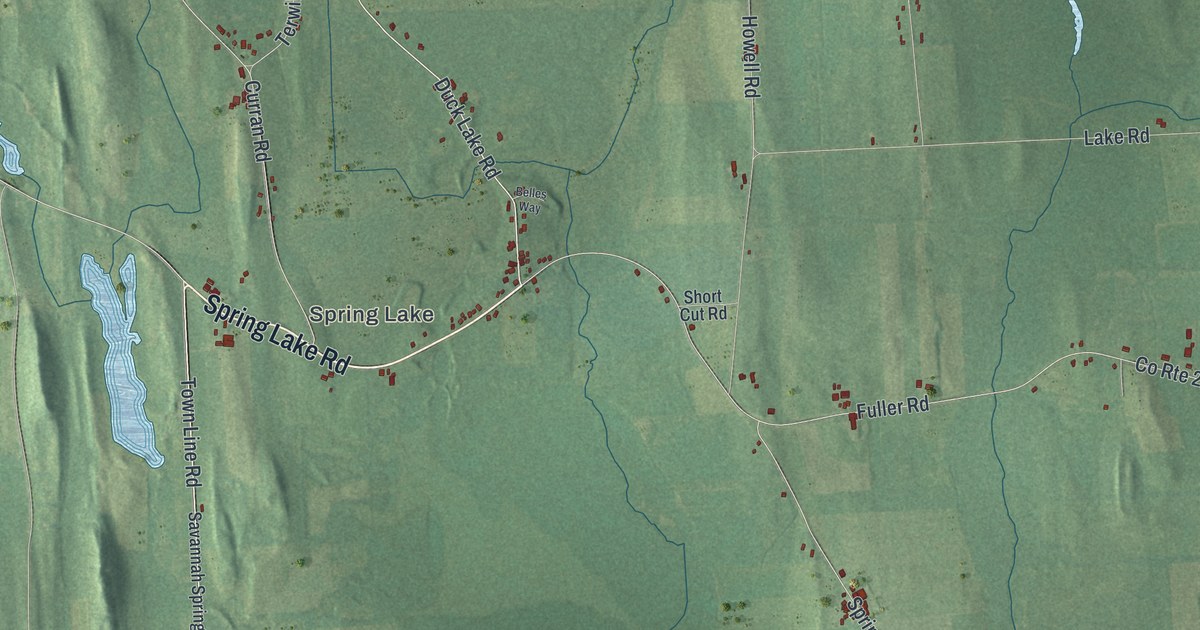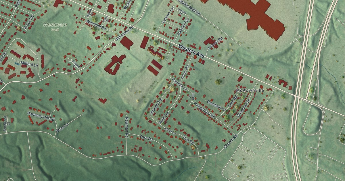
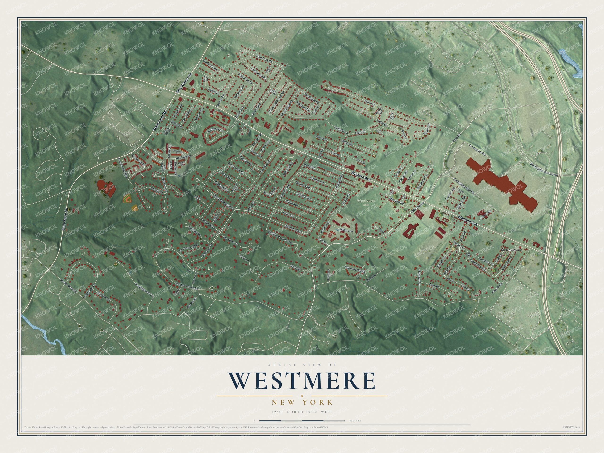
This beautifully detailed map of Westmere, New York was created in 2026 using aerial imagery combined with modern topographical, census, street and landmark data. It’s a one-of-a-kind view of Westmere that combines accurate data with a vintage aesthetic. The map shows every building in its true location, many of the roads carry their names, and the shaded topographic relief shows the shape of the land.
Explore an aerial view of Westmere, New York
On the map you’ll find McKownville, along with Western Avenue, New Karner Road, Johnston Road, Crossgates Mall Road, Brandon Terrace, and more. If you look closely you can even find your house accurately drawn in its correct location. Zoom in on the preview to look for yours.
Did You Know?
Long before Westmere had a name, pioneers crossed this ground heading west from Albany and New England. In 1796 alone, some 300 wagons and winter sleighs came by. The Great Western Turnpike followed in 1799, with a toll gate here. The name Westmere arrived in the 1940s, as homes filled the old woods.
Take a closer look at the Westmere map
Names on this map
These names are printed on this map.
Places: McKownville and Westmere Trail.
Streets and roads: Western Avenue, State Farm Road, New Karner Road, Johnston Road, Crossgates Mall Road, Brandon Terrace, Rapp Road, Crossgates Road, Ableman Avenue, Palma Boulevard, West Bentwood Court, Ruth Terrace.
More street names, A to Z
Albright Avenue, Alton Road, Alvina Boulevard, Arden Craig Drive, Ardsley Road, Arlene Avenue, Ashford Drive, Barnard Avenue, Bedford Square, Bentwood Court East, Beverwyck Drive, Bleeker Road, Briarwood Court, Brooks Road, Camp Terrace, Centre Lane, Chainyk Drive, Chapman Drive, Church Road, Clark Parkway, Cornell Avenue, Delee Avenue, Doctor Shaw Road, Drawbridge Drive, Dresden Court, Echo Lane, Executive Drive, Fletcher Road, Francis Avenue, Friar Tuck Road, Gabriel Terrace, Garrett's Place, Gipp Road, Gladwish Avenue, Goodwin Lane, Gracemore Street, Graylon Place, Guilder Lane, Hanes Street, Harmony Hill Road, Henderson Lane, Heritage Road, Highwood Circle, Homes Terrace, Hungerford Road, Ildra Lane, Janet Lane, Jefferson Court, Joan Lane, Joseph Terrace, Kelly Avenue, Kent Place, Klink Road, Kraus Road, Lawton Terrace, Lehner Road, Leto Road, Lincoln Drive, Little John Road, Locust Hill Road, Longhouse Lane, Loren Avenue, Malpass Road, Marie Avenue, Maynes Avenue, Milford Lane, Newman Road, Norman Avenue, Northgate Drive, Nottingham Road, Oxford Place, Paden Circle, Patricia Avenue, Patricia Lane, Pauline Avenue, Pine Knob Drive, Pine Street, Presidential Way, Rickey Boulevard, Rizzo Lane, Robinhood Road, Rockinghorse Lane, Schuyler Road, Seeley Drive, Seward Street, Shepard Avenue, Sherwood Forest Road, Sir Charles Way, Spring Hollow Court, Spy Glass Court, Steuben Drive, Sumter Avenue, Sussex Court, Sutton Place, Ten Eyck Place, Tice Road, Tiernan Court, Toll Lane, Torquay Boulevard, Turnpike Lane, Turnstile Drive, Van Bael Drive, Van Dyke Place, Van Patten Lane, Van Wie Terrace, Veeder Road, Velina Drive, Venezio Avenue, Victor Drive, Walden's Pond Road, Washington Avenue Extension, Wendom Road, Westmere Terrace, Willey Street, Witte Road, Woodridge Court, York Road, Zorn Road.
See it on a wall
The Westmere map as a framed print. Swipe for more.


This beautifully detailed map of Westmere makes an attractive addition to your office, library, or den, and it can even be used to teach children the geography and history of the area. It also makes a great gift for anyone who grew up in Westmere or moved away. When you’re done exploring, click here to get your copy of the Westmere map.