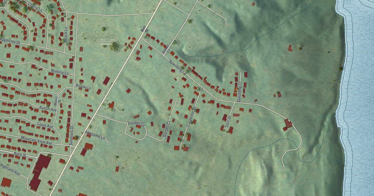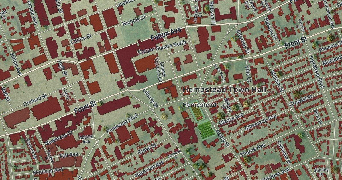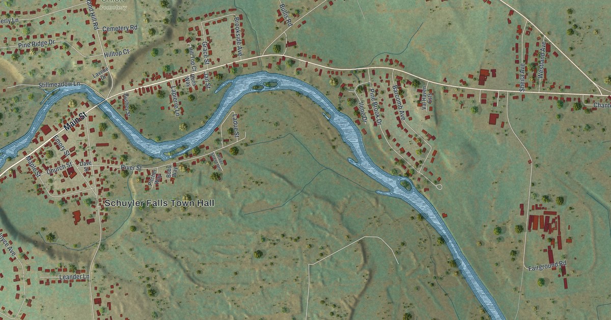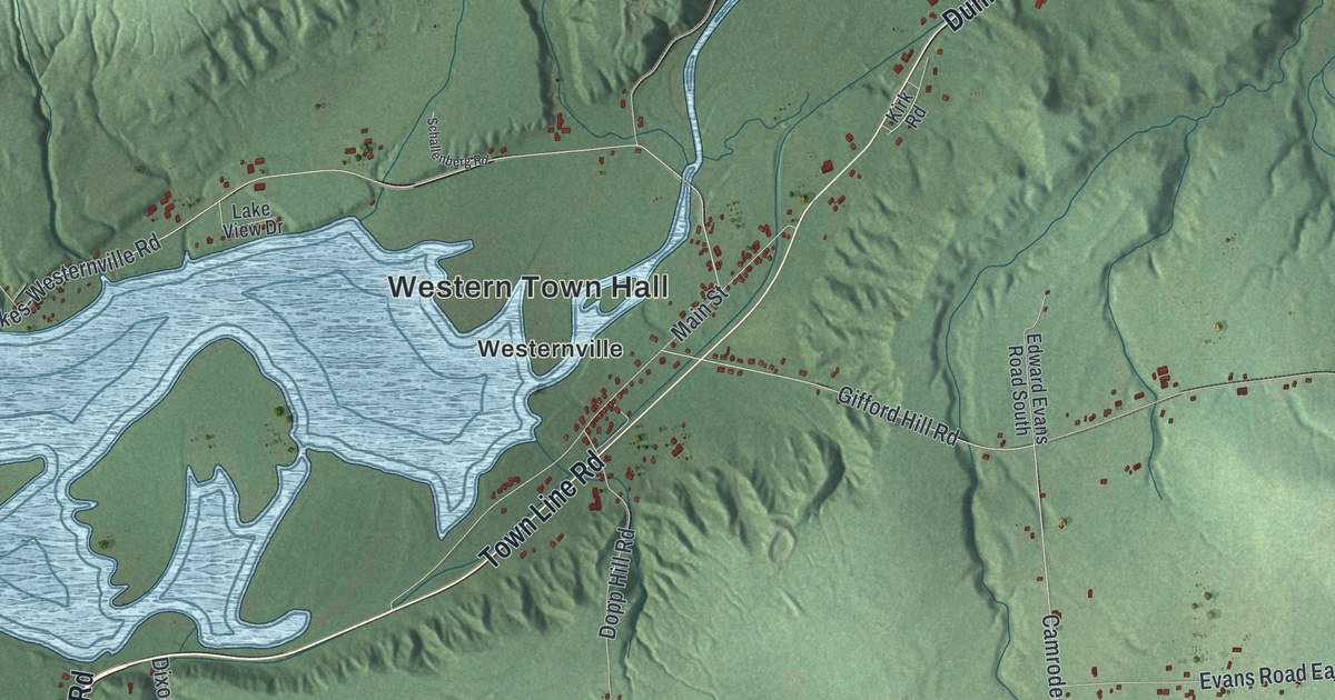
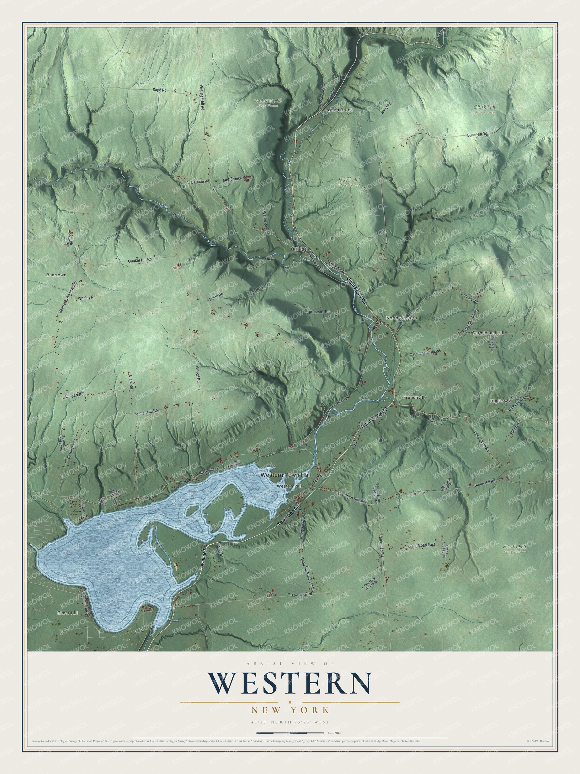
This beautifully detailed map of Western, New York was created in 2026 using aerial imagery combined with modern topographical, census, street and landmark data. It’s a one-of-a-kind view of Western that combines accurate data with a vintage aesthetic. The map shows every building in its true location, many of the roads carry their names, and the shaded topographic relief shows the shape of the land.
Explore an aerial view of Western, New York
On the map you’ll find Western Town Hall, Elmer Hill, Dunn Brook, Beartown, Big Brook, Carmichael Hill, Buck Hill State Forest, Clark Hill State Forest, South Hill State Forest, and Webster Hill State Forest, along with Townline Road, Dunn Brook Road, Cady Road, and more. If you look closely you can even find your house accurately drawn in its correct location. Zoom in on the preview to look for yours.
Did You Know?
William Floyd of New York signed the Declaration of Independence. Weeks later the British seized his house and estate and held it for seven years. He moved to Oneida County in 1794 and lived at his house in Westernville. He died in 1821 and is buried in the Westernville Cemetery.
Take a closer look at the Western map
Names on this map
These names are printed on this map.
Places: Western Town Hall, Elmer Hill, Dunn Brook, Beartown, Big Brook, Carmichael Hill, Buck Hill State Forest, Clark Hill State Forest, South Hill State Forest, Webster Hill State Forest, Frenchville, Hillside, North Western and Westernville.
Streets and roads: Townline Road, Town Line Road, Dunn Brook Road, Cady Road, Mezzler Hill Road, Beartown Road North, Dopp Hill Road, Stokes-Westernville Road, Quaker Hill Road, Buck Hill Road, Webster Hill Road, Mullen Hill Road.
More street names, A to Z
Bankert Road, Beartown Road South, Beckwith Road, Brooks Road, Camroden Road, Carmichael Hill Road, Clark Road, Coleman Road, Dixon Drive, Dopp Hill Road South, Driftwood Drive, Edward Evans Road South, Elmer Hill Road, Evans Road East, Evans Road South, Gifford Hill Road, Gillett Road, Grocholski Road, Hertz Road, Hillside Road, Hilltop Road, Kettle Hill Road, Kirk Road, Knoll Wood Circle, Krzewinski Road, Lake View Drive, Long Shore Road, Main Street, McCormick Road, Mill Street, Oatman Road, Old South Hill Road, Oliver Road, Platt Road, Pronevitch Road, River Road, Sage Road, Schallenberg Road, Sly Hill Road, Smith Road, South Hill Road, Tannery Road, Town Line Road East, Waffel Road, Whaley Road, Wilson Road.
See it on a wall
The Western map as a framed print. Swipe for more.


This beautifully detailed map of Western makes an attractive addition to your office, library, or den, and it can even be used to teach children the geography and history of the area. It also makes a great gift for anyone with Western roots. When you’re done exploring, click here to get your copy of the Western map.