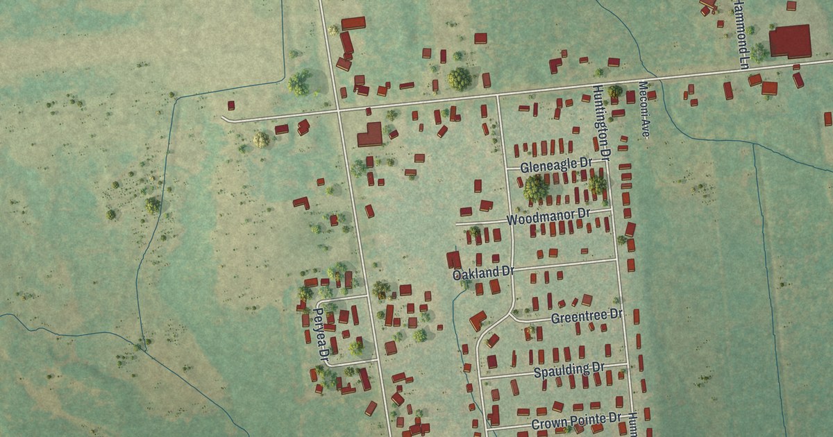
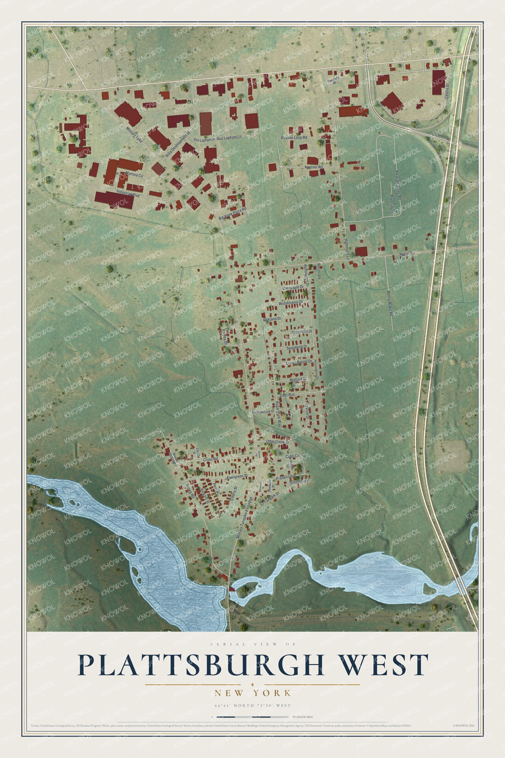
This beautifully detailed map of Plattsburgh West, New York was created in 2026 using aerial imagery combined with modern topographical, census, street and landmark data. It's a modern aerial view of Plattsburgh West in Clinton County, New York, that combines modern data with a vintage aesthetic. The roads feature printed names, and if you look closely you can find your exact house accurately shown in its correct location.
Explore an aerial view of Plattsburgh West, New York
On this map you'll find Centre Drive, Cross Road, Military Turnpike Extended, Brown Road, Industrial Boulevard, Military Turnpike, Rugar Street, Pleasant Acres Road, Hammond Lane, Rugar Park Way, Kaycee Loop Road, Area Development Drive, and more. Each red shape is a building, so zoom in on the preview and look for yours.
Plattsburgh West is a community in Clinton County. The Census Bureau counted 1,382 people here in 2020. Plattsburgh West sits about 3 miles east of Morrisonville, 3 miles northwest of Parc and 6 miles southwest of Cumberland Head. The map prints the town name in its title panel, with the coordinates below it.
Take a closer look at the Plattsburgh West map
Names on this map
These names are printed on this map.
Streets and roads: Centre Drive, Cross Road, Military Turnpike Extended, Brown Road, Industrial Boulevard, Military Turnpike, Rugar Street, Pleasant Acres Road, Hammond Lane, Rugar Park Way, Kaycee Loop Road, Area Development Drive.
More street names, A to Z
Benny Blake Road, Big Hank Plaza Road, Brown Road Extension, Cherry Street, Church Street, Crown Pointe Drive, Cubb Circle, Deer Run, Evergreen Street, Everleth Drive, Foxfire Drive, Franklin Avenue, Gleneagle Drive, Greentree Drive, Gus Lapham Drive, Gus Lapham Lane, Hazelray Drive, Hickory Street, Hunnington Drive, Huntington Drive, Kastner Road, Locust Street, Mallard Drive, Martina Circle, Meadow Lark Drive, Meconi Avenue, Middle Road, Oakland Drive, Otter Creek Drive, Pear Street, Peryea Drive, Schuyler Terrace, Shelburn Street, Spaulding Drive, Tanbark Drive, Vermont Street, Woodmanor Drive.
See it on a wall
The Plattsburgh West map as a framed print. Swipe for more.


Created by KNOWOL in 2026. The buildings are small red shapes, the roads carry their printed names, and shaded relief shows the shape of the land. The title panel reads "AERIAL VIEW OF PLATTSBURGH WEST, NEW YORK" with 44°41' NORTH 73°30' WEST.
It looks right in a kitchen, an office or a den, and it's a gift for anyone who grew up in Plattsburgh West or moved away. Open the preview and find your street. See sizes and frames for the Plattsburgh West map.