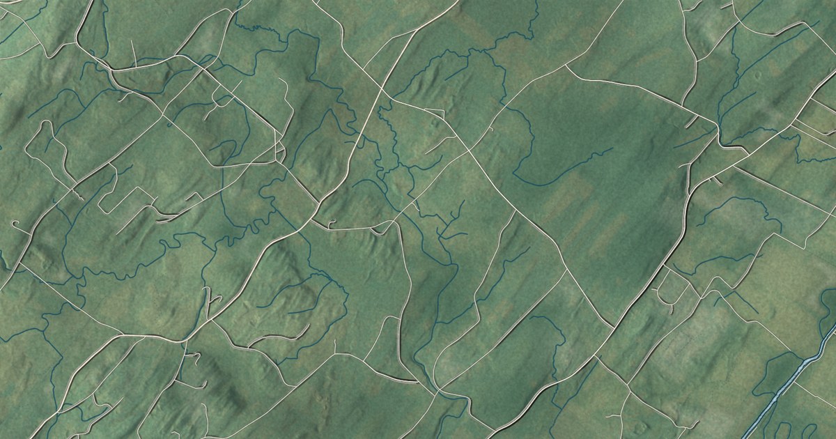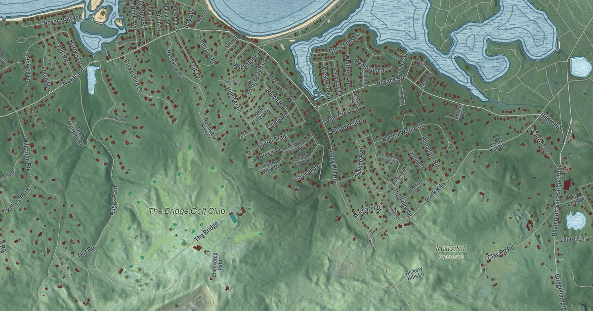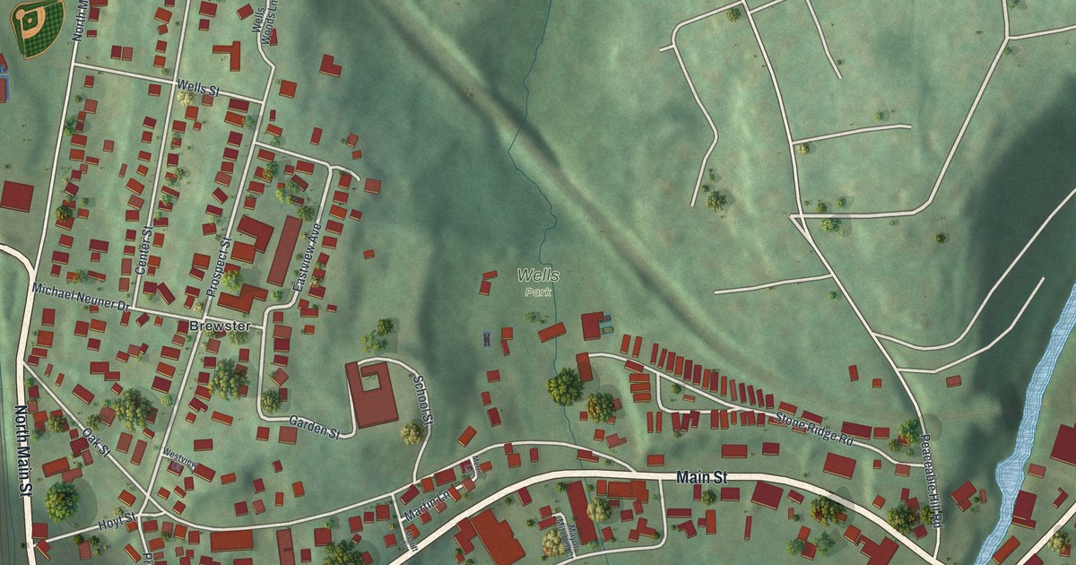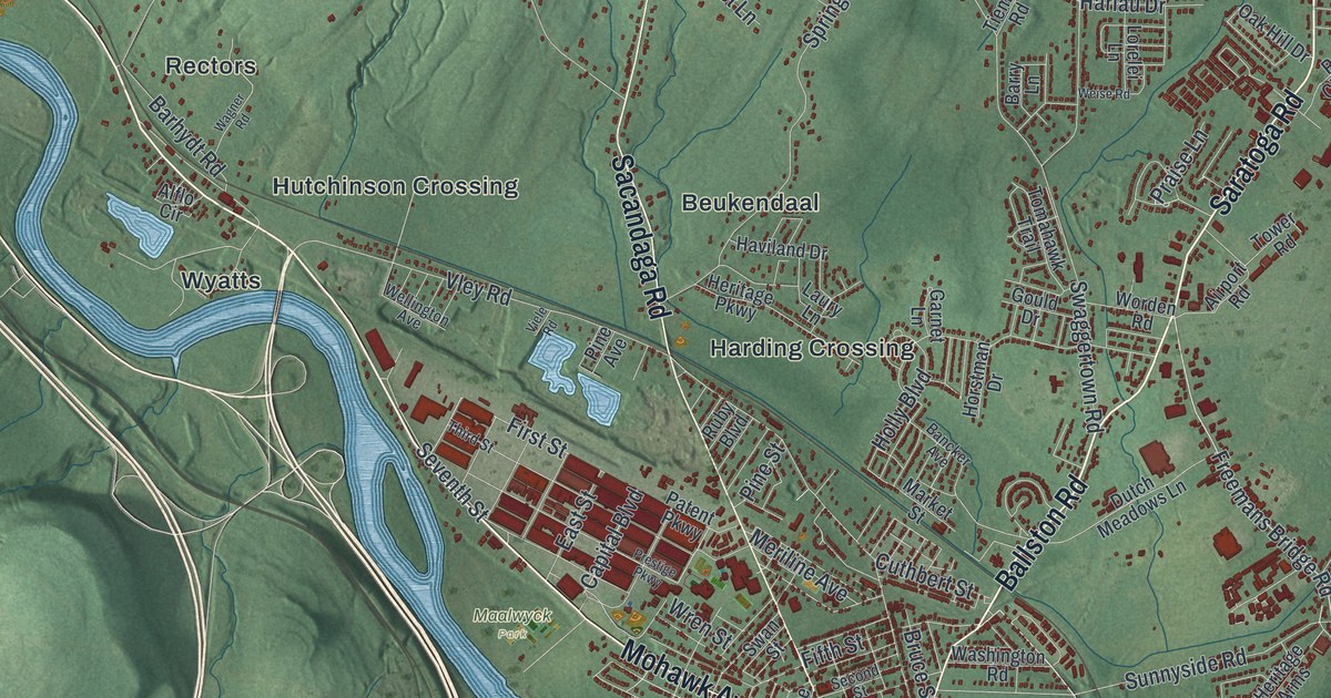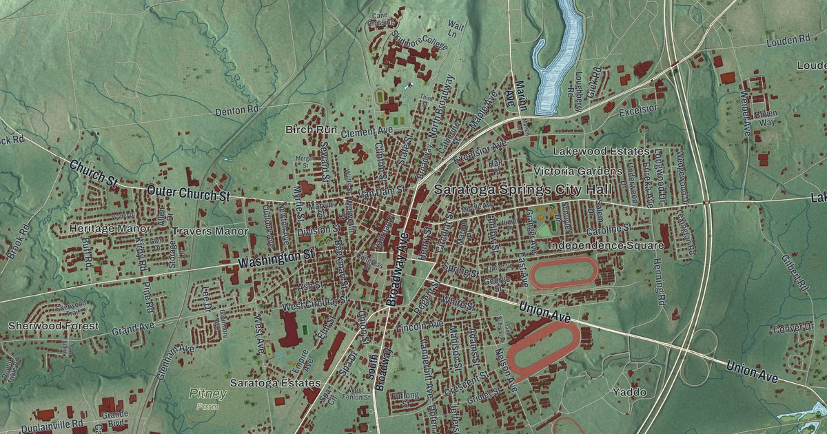
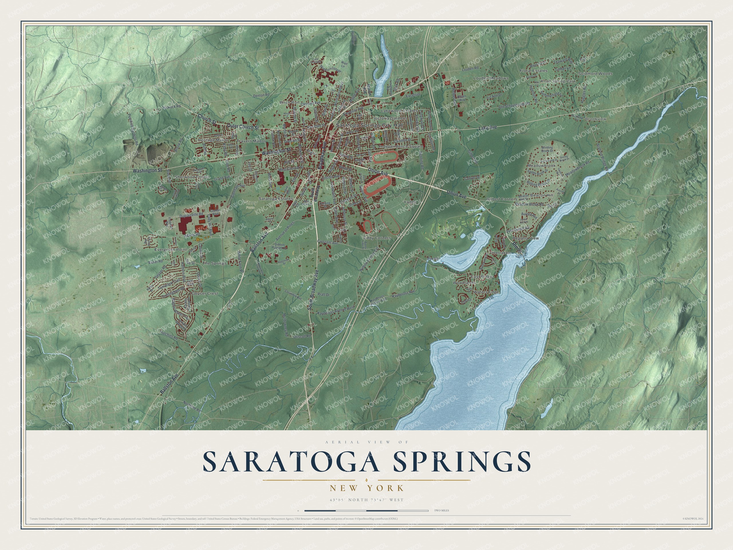
This beautifully detailed map of Saratoga Springs, New York was created in 2026 using aerial imagery combined with modern topographical, census, street and landmark data. It’s a one-of-a-kind view of Saratoga Springs that combines accurate data with a vintage aesthetic. The map shows every building in its true location, many of the roads carry their names, and the shaded topographic relief shows the shape of the land.
Explore an aerial view of Saratoga Springs, New York
On the map you’ll find Saratoga Springs City Hall, Knoll Spring Park, Brookview, Beacon Hill, Birch Run, and East Ridge, along with Union Avenue, Broadway Avenue, Ballston Avenue, Outer Church Street, and more. If you look closely you can even find your house accurately drawn in its correct location. Zoom in on the preview to look for yours.
Did You Know?
Long before the resort, Mohawk hunters used this ground, and some believed Manitou had given them its mineral springs. In 1767 Native friends brought Sir William Johnson here. The British officer had won fame fighting the French. He came hoping the spring water would heal his wounds.
Take a closer look at the Saratoga Springs map
Names on this map
These names are printed on this map.
Places: Saratoga Springs City Hall, Knoll Spring Park, Brookview, Pitney Farm, Beacon Hill, Birch Run, East Ridge, Eddy Corners, Evergreen Point, Floral Estates, Geyser Crest, Gilbert Corners, Heritage Manor, Independence Square, Interlaken, Lakewood Estates, Louden Meadows, Meadowbrook, Regatta View, Saratoga Estates, Scidmore Woods, Sherwood Forest, The Springs, Travers Manor, Victoria Gardens, Waters Edge, Woodlands, Yaddo and Saratoga Spa State Park.
Streets and roads: Union Avenue, South Broadway Avenue, Broadway Avenue, Ballston Avenue, Outer Church Street, Lake Avenue, Church Street, Washington Street, Maple Avenue, Circular Street, Van Dam Street, Adams Road.
More street names, A to Z
Adams Street, Albany Street, Allen Drive, Ash Street, Aurora Avenue, Autumn Lane, Avenue of Pines, Azalea Drive, Baker Road, Beacon Hill Drive, Beekman Street, Bliven Way, Broadway, Brook Road, Brookview Terrace, Buff Road, Bunny Lake Drive, Cady Hill Boulevard, Cane Crossing, Caroline Street, Casino Drive, Cassidy Drive, Catherine Street, Clement Avenue, Clinton Street, Columbia Avenue, Congress Street, Conver Drive, Crescent Avenue, Crescent Street, Curt Boulevard, Cygnet Circle, Denton Road, Division Street, Doten Avenue, Driscoll Road, Duplainville Road, Dyer Circle, Dyer Switch Road, East Avenue, East Street, Elm Street, Empire Avenue, Eureka Avenue, Excelsior, Excelsior Avenue, Ferndell Spring Drive, Frank Sullivan Place, Freedom Way, Furlong Street, George Street, Geyser Road, Gick Road, Gideon Putnam Road, Gilbert Road, Glen Drive, Glenham Avenue, Glen Mitchell Road, Glenmore Avenue, Grand Avenue, Grande Boulevard, Granger Avenue, Gridley Street, Hall Place, Hathorn Boulevard, Henning Road, Henry Street, Hickock Road, Hutchins Road, Ingersoll Road, Iris Drive, Jane Street, Jefferson Street, Jenna Jo Avenue, Jumel Place, Karista Spring Drive, Kaydeross Avenue, Kaydeross Avenue East, Kaydeross Avenue West, Kirby Road, Knight Way, Larkspur Drive, Leaward Way, Lee Drive, Leonard Street, Lexington Road, Lilac Lane, Lincoln Avenue, Liz Ann Drive, Longwood Drive, Louden Road, Loughberry Road, Ludlow Street, Madison Street, Magnolia Drive, Marion Avenue, Marion Place, Marvin Street, Meadowbrook Road, Meadow Brook Road, Middle Avenue, Morgan Street, Muldowney Road, Myrtle Street, Nelson Avenue, Nelson Avenue Extension, Newton Avenue, North Broadway, Northline Road, Northway Court, Oakbrook Boulevard, Old Schuylerville Road, Outlook Avenue, Pamela Lane, Petrified Gardens Road, Pine Road, Poe Road, Pratt Drive, Quevic Drive, Railroad Place, Regent Street, Rip Van Lane, Rolling Brook Drive, Roosevelt Drive, Round Table Road, Ruggles Road, Saddle Brook Drive, Salem Drive, Sarazen Street, Schuyler Drive, Seward Street, Sherwood Trail, Sicada Street, Skidmore College, Slade Road, South Broadway, Spa Circle, Spa Drive, Spring Street, Stafford Bridge Road, State Street, Stoney Brook Drive, Stony Brook Drive, Storage Lane, Sulky Lane, Summerfield Lane, Tamarack Trail, Third Street, Tiffany Place, Timber Lane, Tipton Lane, Trottingham Road, Tyler Drive, Underwood Drive, Union Street, Vanderbilt Avenue, Vichy Drive, Vista Drive, Wagon Wheel Trail, Wait Lane, Walter Drive, Walworth Street, Waterview Drive, Wedgewood Drive, Weibel Avenue, Wells Street, West Avenue, West Circular Street, West Fenlon Street, White Farm Road, White Street, Winding Brook Drive.
See it on a wall
The Saratoga Springs map as a framed print. Swipe for more.


This beautifully detailed map of Saratoga Springs makes an attractive addition to your office, library, or den, and it can even be used to teach children the geography and history of the area. It also makes a great gift for anyone with Saratoga Springs roots. When you’re done exploring, click here to get your copy of the Saratoga Springs map.