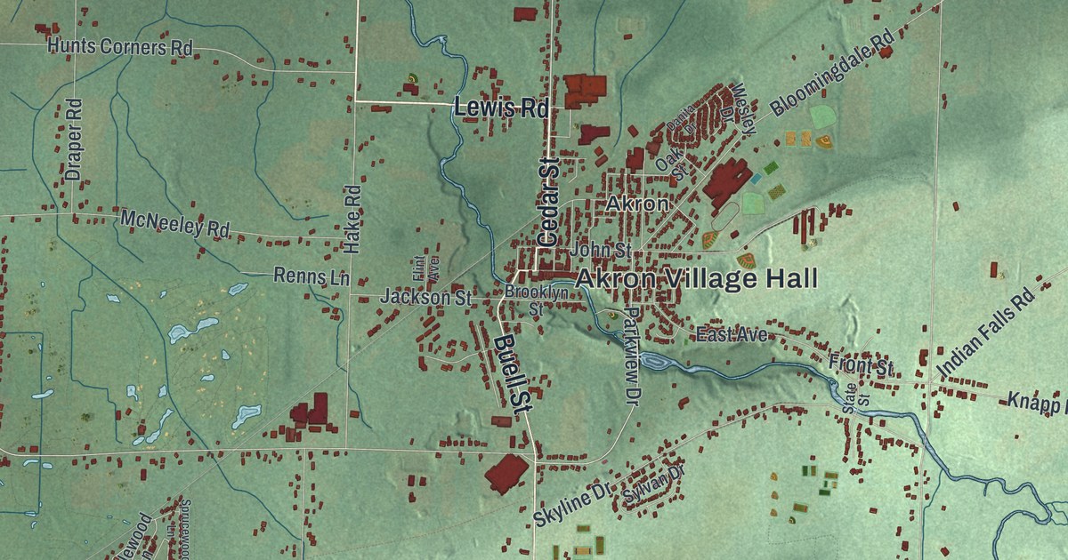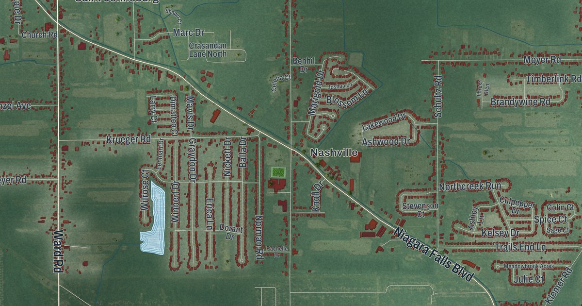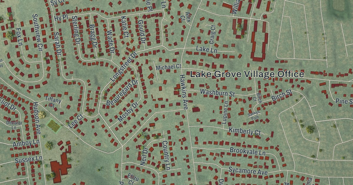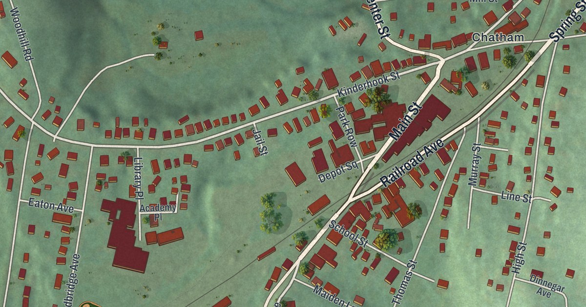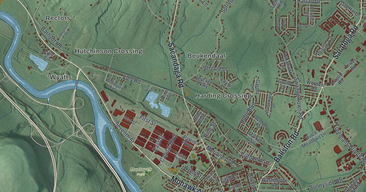
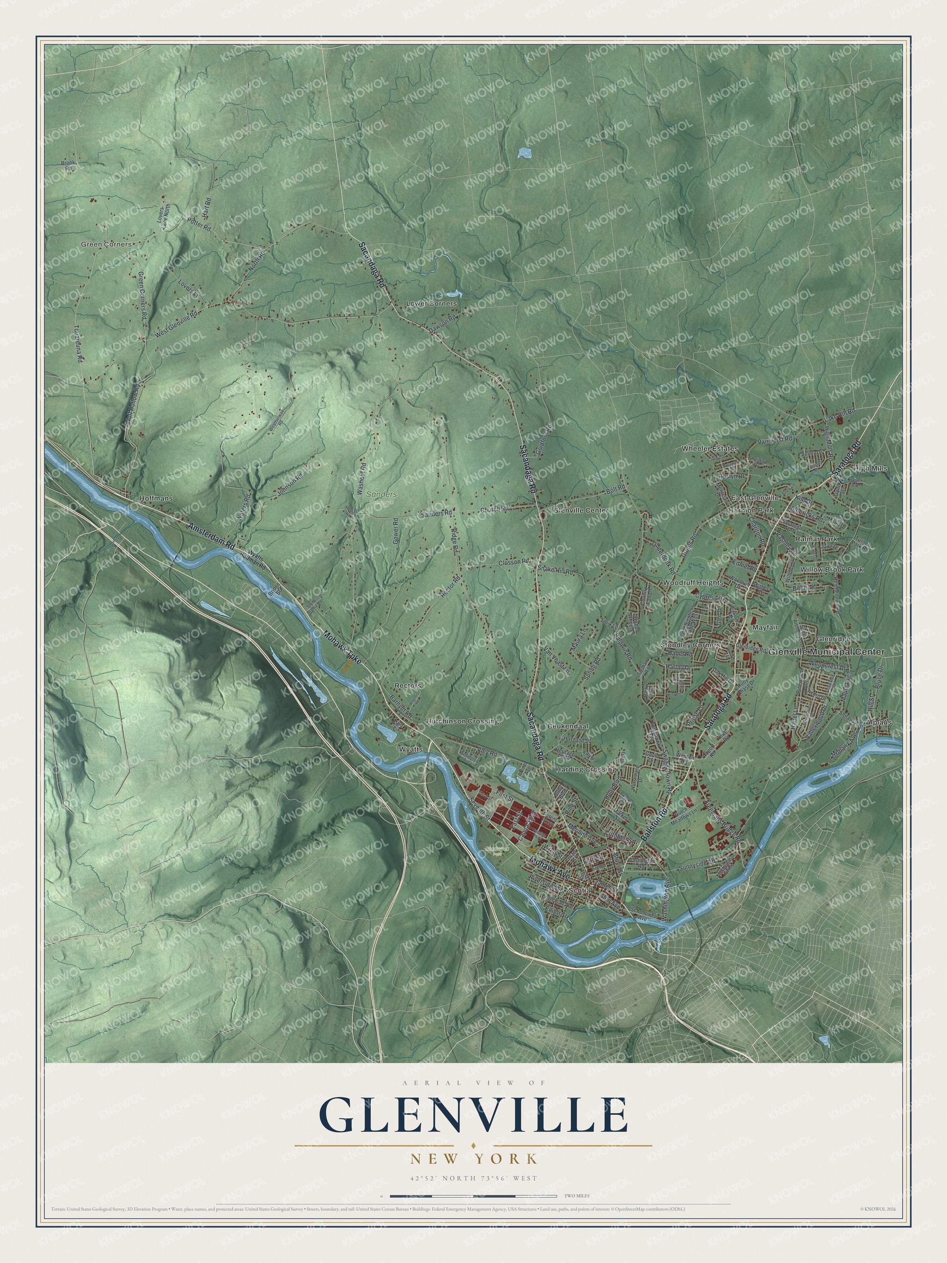
This beautifully detailed map of Glenville, New York was created in 2026 using aerial imagery combined with modern topographical, census, street and landmark data. It’s a one-of-a-kind view of Glenville that combines accurate data with a vintage aesthetic. The map shows every building in its true location, many of the roads carry their names, and the shaded topographic relief shows the shape of the land.
Explore an aerial view of Glenville, New York
On the map you’ll find Glenville Municipal Center, Green Corners, Alplaus, Beukendaal, East Glenville, Glenridge, Maalwyck Park, and Sanders Preserve, along with Mohawk Turnpike, Mohawk Avenue, Ballston Road, Saratoga Road, and more. If you look closely you can even find your house accurately drawn in its correct location. Zoom in on the preview to look for yours.
Did You Know?
Glenville takes its name from Alexander Lindsay Glen, a Scotsman. In the 1650s he gained a large tract of land along the Mohawk River’s north side. He called his manor Scotia after his homeland. The town was formed from Schenectady in 1821.
Take a closer look at the Glenville map
Names on this map
These names are printed on this map.
Places: Glenville Municipal Center, Green Corners, Maalwyck Park, Sanders Preserve, Alplaus, Beukendaal, East Glenville, Glenridge, Glenville Center, Harding Crossing, Harmon Park, High Mills, Hoffmans, Hutchinson Crossing, Lower Corners, Mayfair, Ralmar Park, Rectors, Scotia, Stoodley Corners, Wheeler Estates, Willow Brook Park, Woodruff Heights and Wyatts.
Streets and roads: Mohawk Turnpike, Mohawk Avenue, Ballston Road, Saratoga Road, Amsterdam Road, Sacandaga Road, Freemans Bridge Road, Washington Avenue, Capital Boulevard, Touareuna Road, Wolf Hollow Road, Glen Avenue.
More street names, A to Z
Acorn Drive, Airport Road, Alflo Circle, Alplaus Avenue, Baldwin Road, Bancker Avenue, Barhydt Road, Barry Lane, Bigwood Road, Birch Lane, Bolt Road, Bridge Street, Bronk Road, Bruce Drive, Bruce Street, Charlton Road, Cherry Lane, Church Road, Clifford Drive, Closson Road, Country Fair Lane, Cuthbert Street, Cypress Drive, Dawson Road, Droms Road, Dutch Meadows Lane, East Street, Edmel Road, Ellen Lane, Elliott Street, Engleman Avenue, Fifth Street, First Street, Fredericks Road, Garnet Lane, Glenridge Road, Glen Terrace, Goldfoot Road, Gould Drive, Governor Drive, Gower Road, Green Corners Road, Habel Lane, Hadel Road, Harlau Drive, Hart Road, Haviland Drive, Heritage Arms, Heritage Parkway, Hetcheltown Road, High Mills Road, Hill Street, Holly Boulevard, Horstman Drive, James Street, Jane Drive, Johnson Road, Kile Drive, Lake Hill Road, Laury Lane, Lolik Lane, Lorelei Lane, Lovers Lane, Lovers Lane North, Maple Avenue, Market Street, Maura Lane, Meriline Avenue, Montclair Drive, Mountainwood Drive, North Road, Oak Hill Drive, Onderdonk Road, Paradowski Road, Park Lane, Pashley Road, Patent Parkway, Pine Avenue, Pine Street, Pinewood Drive, Potter Road, Praise Lane, Prestige Parkway, Rector Road, Ridge Road, Riverside Avenue, Rosemere Road, Roslyn Drive, Ruby Boulevard, Rudy Chase Drive, Saint Anthony Lane, Saint Stephens Lane West, Sanders Road, Saratoga Drive, Schonowee Avenue, Second Street, Seventh Street, Sheldon Drive, Slater Drive, Snake Hill Road, Spring Road, Stone Arabia Road, Sunnyside Road, Swaggertown Road, Swan Street, Third Street, Tieman Road, Tomahawk Trail, Tower Road, Tryon Street, Turner Park Road, Valleywood Drive, Van Voast Lane, Van Vorst Road, Velina Drive, Vernon Road, Via Maria Drive, Viele Road, Vine Street, Vley Road, Wagner Road, Wagon Wheel Lane, Washington Road, Washout Road, Waters Road, Weatherwax Road, Weise Road, Wellington Avenue, West Glenville Road, Willow Lane, Witbeck Drive, Woodcrest Drive, Woodruff Drive, Worden Road, Wren Street, Wyatts Hoffman Road, Yolanda Drive.
See it on a wall
The Glenville map as a framed print. Swipe for more.


This beautifully detailed map of Glenville makes an attractive addition to your office, library, or den, and it can even be used to teach children the geography and history of the area. It also makes a great gift for anyone who grew up in Glenville or moved away. When you’re done exploring, click here to get your copy of the Glenville map.