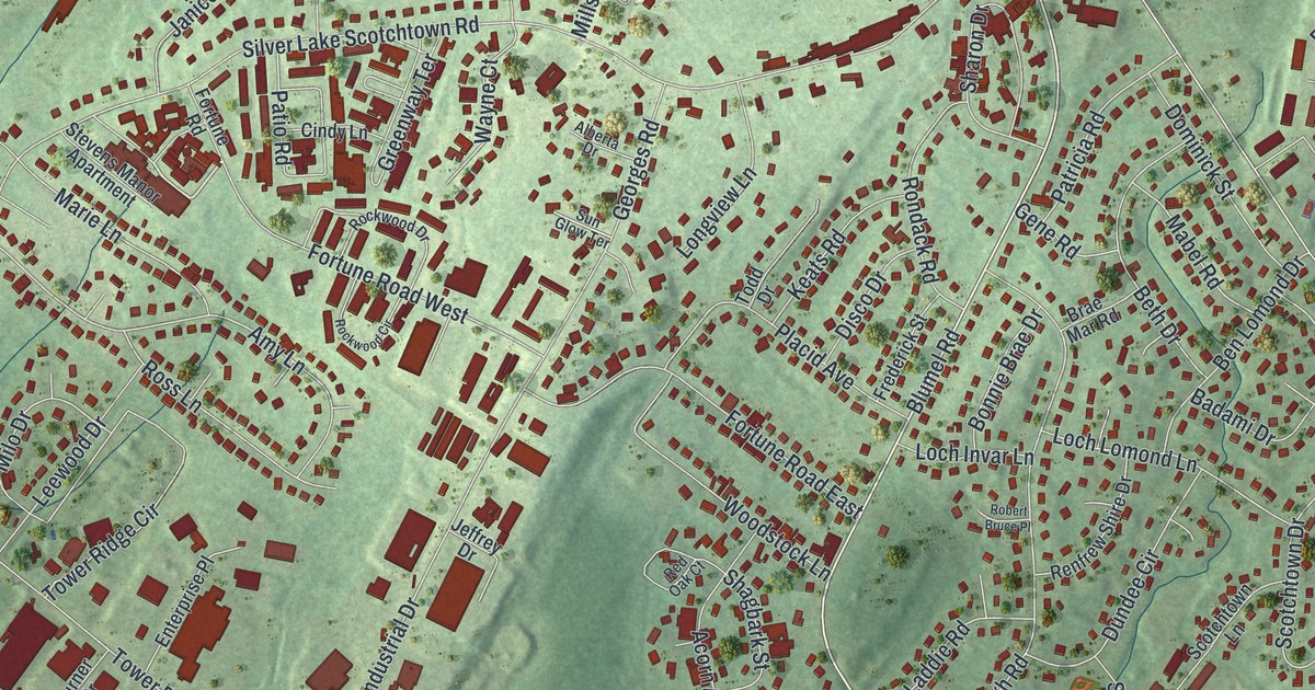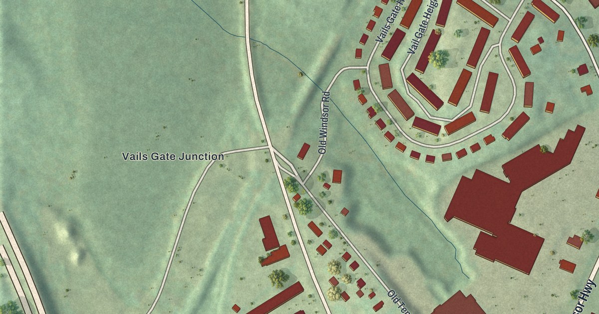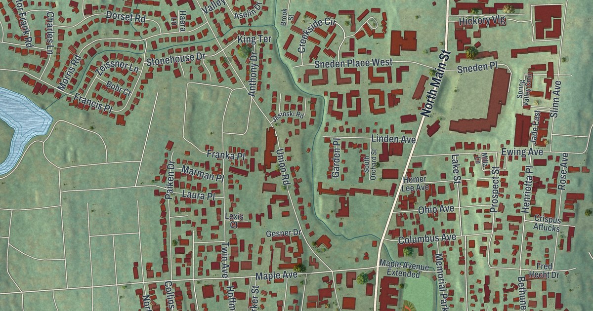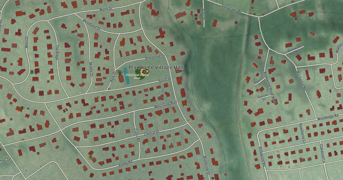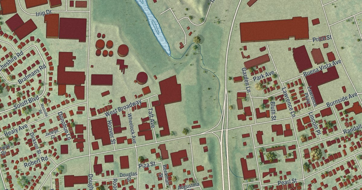
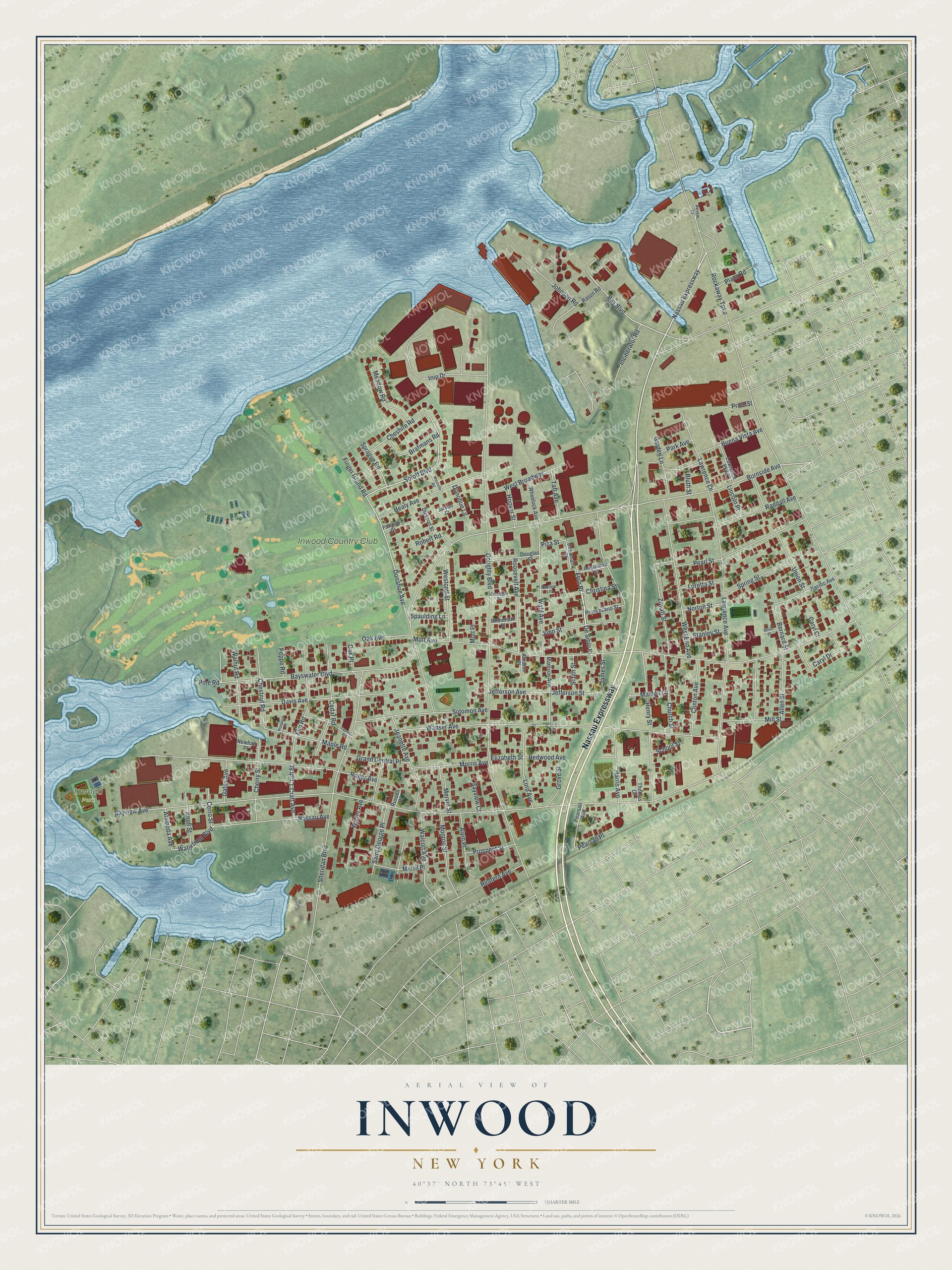
This beautifully detailed map of Inwood, New York was created in 2026 using aerial imagery combined with modern topographical, census, street and landmark data. It’s a one-of-a-kind view of Inwood that combines accurate data with a vintage aesthetic. The map shows every building in its true location, many of the roads carry their names, and the shaded topographic relief shows the shape of the land.
Explore an aerial view of Inwood, New York
On the map you’ll find Fern Place, along with Nassau Expressway, Soloff Boulevard, Finger Island Road, Donahue Avenue, and more. If you look closely you can even find your house accurately drawn in its correct location. Zoom in on the preview to look for yours.
Did You Know?
After 1871 this community was called Westville. When residents asked for a post office, they were turned down, since upstate New York already had a Westville. So in December 1888 locals voted on a new name. Inwood won over choices like Bayhead, Pike’s Peak and Custer. The post office opened on February 25, 1889.
Take a closer look at the Inwood map
Names on this map
These names are printed on this map.
Places: Inwood Park and Inwood Country Club.
Streets and roads: Nassau Expressway, Fern Place, Soloff Boulevard, Finger Island Road, Donahue Avenue, Bay Boulevard, Lord Avenue, Waterfront Boulevard, Bayview Avenue, Doughty Boulevard, Rockaway Turnpike, Sheridan Boulevard.
More street names, A to Z
Abrams Place, Alameda Avenue, Allen Street, Alvin Place, Augustina Street, Bayswater Boulevard, Bayview Court, Beekman Street, Bernard Street, Bluth Street, Brafmans Road, Buena Vista Avenue, Burnside Avenue, Caryl Court, Caryl Drive, Cedar Road, Cerro Street, Cherry Street, Cheshire Road, Chestnut Road, Christina Street, Church Street, Clinton Avenue, Craft Avenue, Craft Street, Crescent Street, Cypress Road, Davis Avenue, De Sibio Place, Dickson Street, Donohue Lane, Douglas Street, Elizabeth Street, Elm Road, Fairway Drive, Garden Lane, Gates Avenue, Grand Central Place, Grove Street, Harris Avenue, Healy Avenue, Henry Street, Hoover Street, Incinerator Road, Inip Drive, Jacklyn Court, James Street, Jeanette Avenue, Jefferson Avenue, Jefferson Street, Johnson Road, John Street, Knoll Street, Lawrence Avenue, Lawrence Lane, Lawrence Parkway, Lincoln Place, Loretta Street, Madison Avenue, Maiden Lane, Maple Road, Meadow Road, Merril Place, Mervin Street, Mill Street, Monroe Street, Morris Avenue, Mott Avenue, Mott Place, Narrow Lane, Nassau Avenue, Newhall Place, Norton Street, Oak Avenue, Oak Place, Pacific Avenue, Park Avenue, Pearl Street, Pearsall Avenue, Pearsall Place, Peppe Road, Pine Road, Piza Street, Plaza Road, Price Street, Prospect Place, Prospect Street, Provenzano Street, Randall Avenue, Rason Road, Redfern Avenue, Redwood Avenue, Reyem Drive, Rhinehart Place, Robert Road, Roger Avenue, Roosevelt Avenue, Russell Place, Saint George Place, School Street, Smith Street, Solomon Avenue, Spaulding Lane, Sprague Road, Spring Street, Stanley Street, Taft Avenue, Thomas Court, Union Street, Wahl Avenue, Walcott Avenue, Walnut Road, Walter Avenue, Wanser Avenue, Wells Place, West Broadway, Westcott Street, West End Avenue, Westville Road, Wheelock Avenue, Zavatt Street.
See it on a wall
The Inwood map as a framed print. Swipe for more.


This beautifully detailed map of Inwood makes an attractive addition to your office, library, or den, and it can even be used to teach children the geography and history of the area. It also makes a great gift for anyone with Inwood roots. When you’re done exploring, click here to get your copy of the Inwood map.