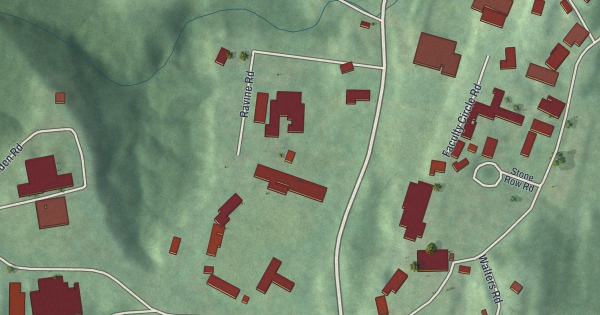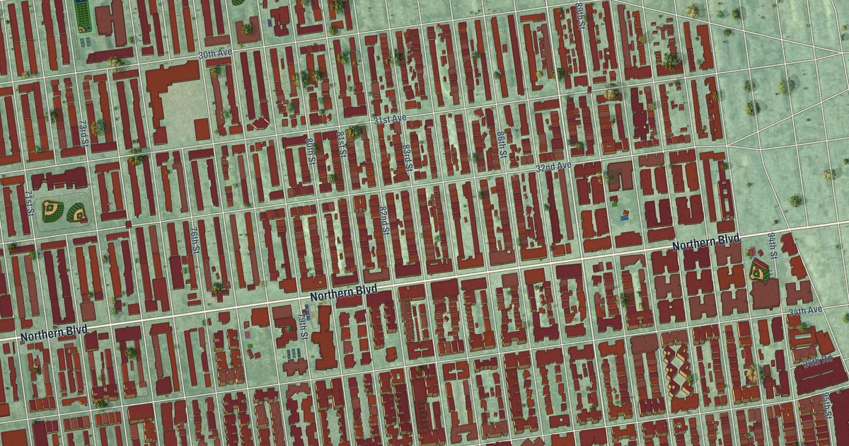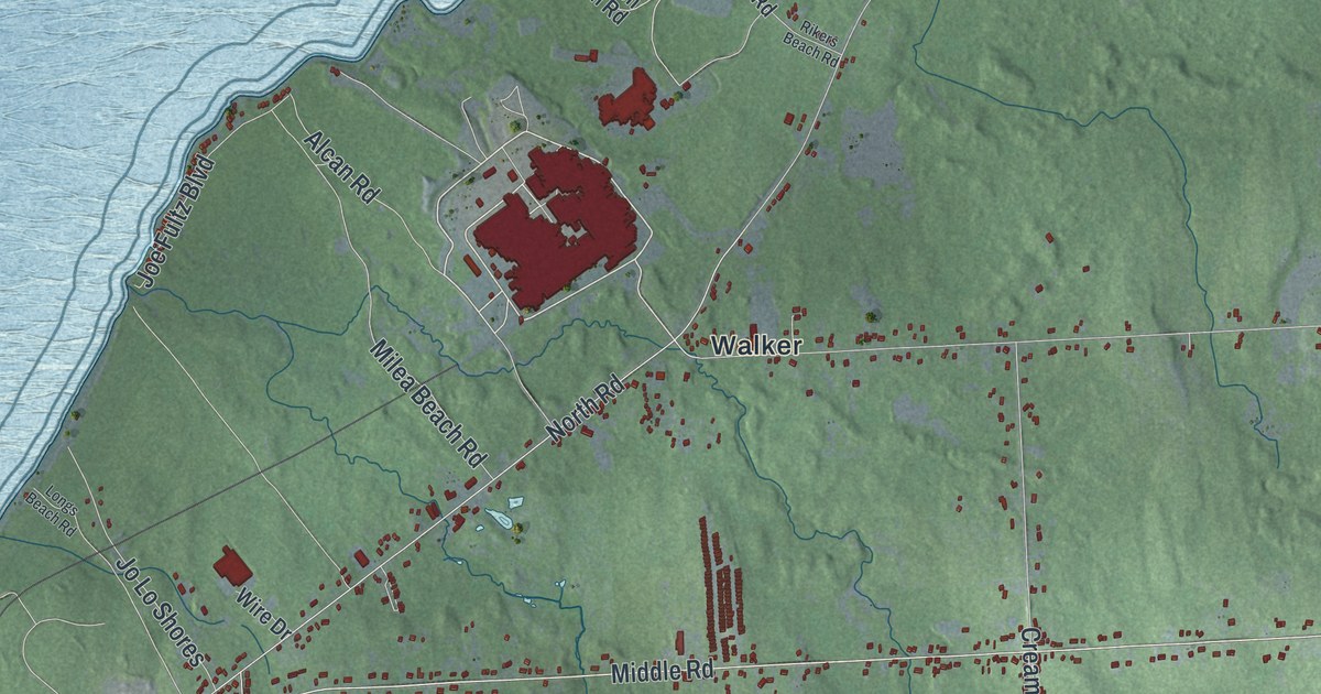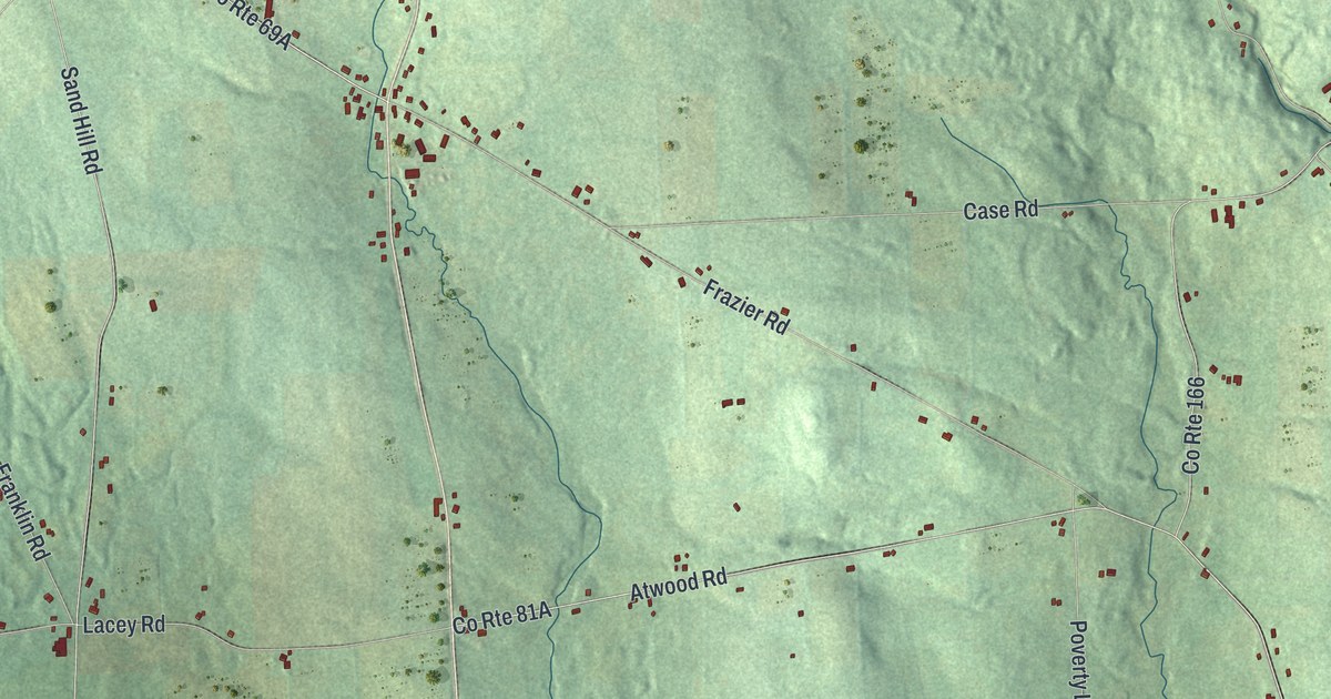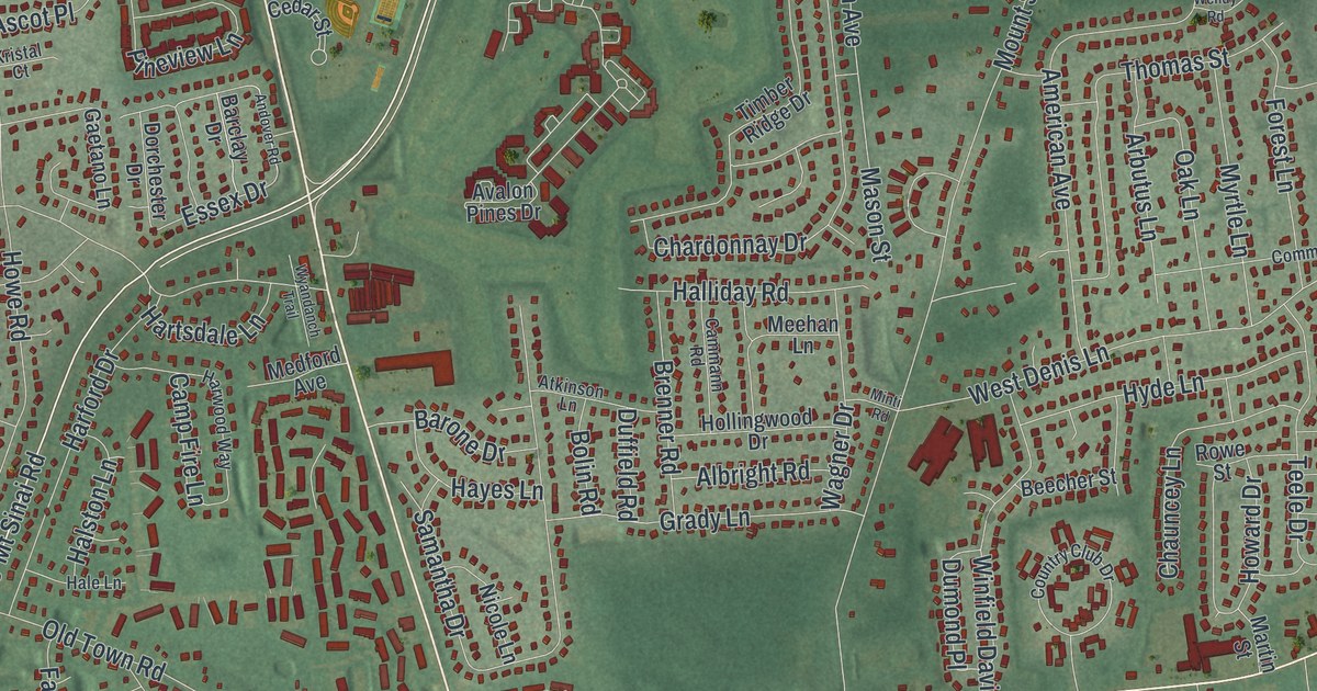
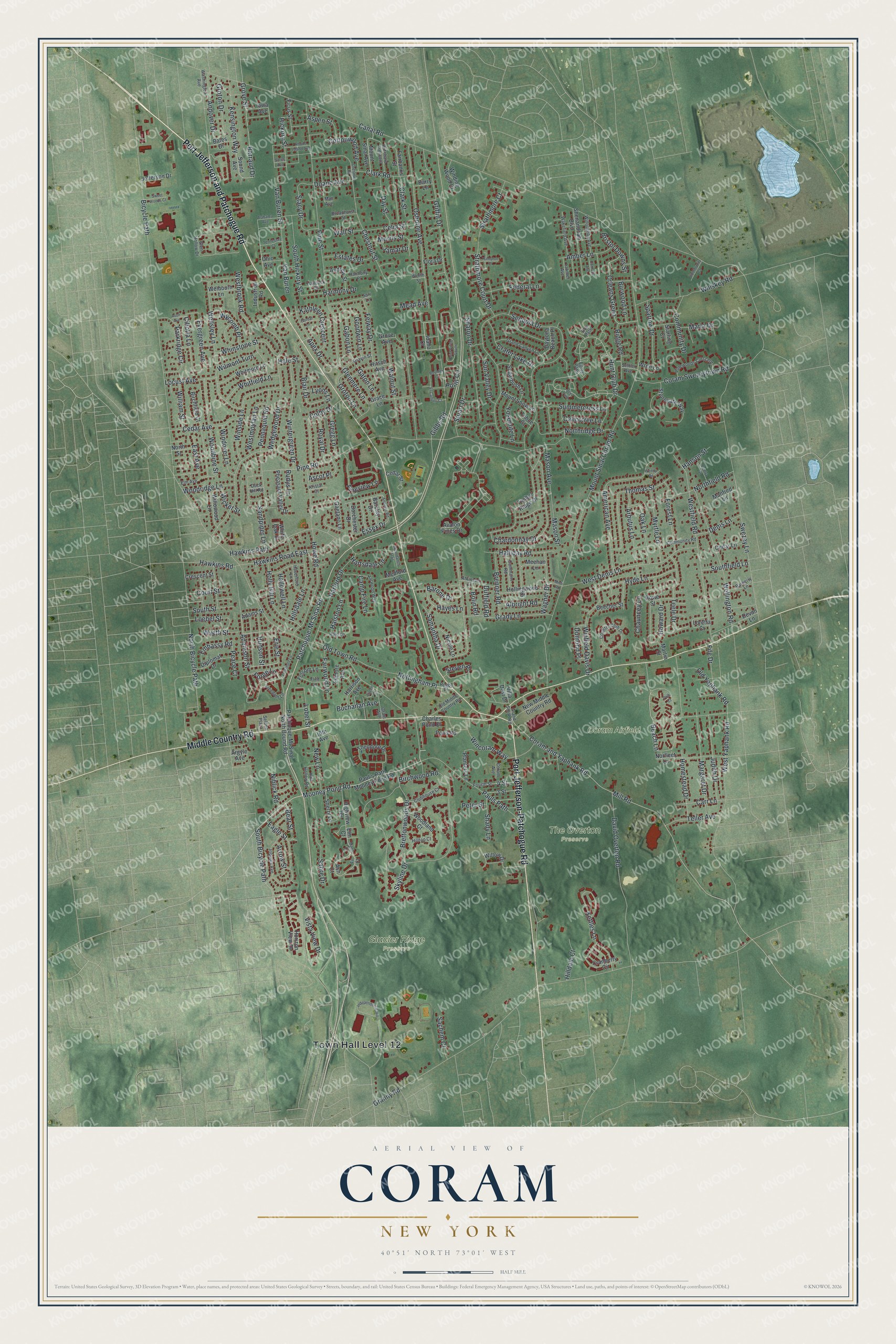
This beautifully detailed map of Coram, New York was created in 2026 using aerial imagery combined with modern topographical, census, street and landmark data. It’s a one-of-a-kind view of Coram that combines accurate data with a vintage aesthetic. The map shows every building in its true location, many of the roads carry their names, and the shaded topographic relief shows the shape of the land.
Explore an aerial view of Coram, New York
On the map you’ll find Glacier Ridge Preserve and The Overton Preserve, along with Port Jefferson-Patchogue Road, Port Jefferson and Patchogue Road, Middle Country Road, Patchogue-Mt Sinai Road, Beach Lane, and more. If you look closely you can even find your house accurately drawn in its correct location. Zoom in on the preview to look for yours.
Did You Know?
Coram is the oldest settlement in central Brookhaven. During the Revolutionary War, Benjamin Tallmadge led his Light Dragoons and 12 Culper Ring men on a raid there. They burned 300 tons of hay the British had stored for their horses. George Washington wrote to thank him, and Coram marks the raid each October.
Take a closer look at the Coram map
Names on this map
These names are printed on this map.
Places: Town Hall Level 12, Coram Airfield, Glacier Ridge Preserve and The Overton Preserve.
Streets and roads: Port Jefferson-Patchogue Road, Port Jefferson and Patchogue Road, Middle Country Road, Patchogue-Mt Sinai Road, Beach Lane, Hunt Club Drive, Mooney Pond Road, Van Buren Street, Amber Lane, Canal Road, Mount Sinai Coram Road, Granny Road.
More street names, A to Z
3 Street, 4 Street, 16th Avenue, Adamson Street, Adams Street, Alabama Avenue, Albright Road, American Avenue, Andover Drive, Andover Road, Andrew Street, Apex Drive, Arbutus Lane, Argyle Avenue, Arrow Street, Ascot Place, Ash Court, Aspen Street, Atkinson Lane, Avalon Pines Drive, Avon Avenue, Barberry Lane, Barclay Drive, Barone Drive, Barraud Drive, Barry Lane, Bates Drive, Bear Street, Beecher Street, Bicycle Path, Birchfield Court, Birchwood Road, Blair Drive, Bolin Road, Boulder Court, Brenner Road, Brettonwoods Drive, Bristol Downs Street, Broadhurst Street, Buchanan Avenue, Burwood Lane, Calicotree Lane, Cammann Road, Camp Fire Lane, Carnaby Avenue, Carr Lane, Cedar Avenue, Cedar Lane, Cedar Street, Celia Street, Centra Street, Chardonnay Drive, Charles Pond Drive, Chauncey Lane, Chestnut Road, Chestnut Street, Ciliotta Lane, Clark Road, Clark Street, Clubhouse Court, Colby Drive, Community Court, Community Drive, Community Road, Coram and Yaphank Road, Coram Avenue, Coram Swezeytown Road, Cottonwood Avenue, Country Club Drive, Court Street, Cranberry Circle, Crater Lake Drive, Crescent Street, David Overton Road, Day Street, Daytona Beach Place, Deer Path, Denis Lane, Devon Lane, Diplomat Drive, Doane Avenue, Doe Path, Dorchester Drive, Duck Hill Road, Duffield Road, Dumond Place, Eagle Street, East Avenue, Egret Path, Eileen Court, El Camino Court, Elm Avenue, Elm Court, Embassy Road, Erie Street, Essex Drive, Estates Drive, Evergreen Avenue, Fairbanks Street, Fairwood Lane, Federal Lane, Felway Drive, Ficus Street, Fife Drive, Filmore Avenue, Fir Court, Flint Lane, Flora Drive, Folsom Lane, Forest Lane, Forge Lane, Fourth Street, Freedom Lane, Freemont Lane, Gabon Lane, Gaetano Lane, Gates Avenue, Gaton Lane, Gibbs Road, Glen Hollow Drive, Glenmere Lane, Goodwin Lane, Gordal Lane, Grace Lane, Grady Lane, Grand Canyon Lane, Grand Smith Road, Grant Avenue, Gravin Street, Gregg Lane, Griffin Drive, Groton Drive, Groton Lane, Grove Avenue, Grove Street, Hale Lane, Hale Street, Half Hollow Road, Halliday Road, Hallowell Lane, Halston Lane, Hampton Court, Hancock Street, Hanson Street, Harford Drive, Harmony Drive, Harmony Place, Harrison Avenue, Hartsdale Lane, Harwood Way, Haverford Lane, Hawkins Path, Hawkins Road, Hawkins Road East, Hayes Lane, Hickory Street, Highview Terrace, Hilldale Court, Hillsdale Lane, Hilltop Court, Hirsch Avenue, Hollingwood Drive, Holly Hill Lane, Homestead Drive, Horizon View Drive, Howard Drive, Howe Road, Hudson Street, Hyde Lane, Idaho Court, Independence Hill, Industrial Road, Iowa Avenue, Iriquois Avenue, Jamar Drive, Jefferson Drive, Judith Drive, Kathleen Crescent, Kensington Way, Kettles Lane, Kristal Court, Latimer Avenue, Lobel Street, Locust Avenue, Loebel Street, Loretta Court, Lyons Lane, Mall Avenue, Manfred Lane, Maple Court, Margaret Drive, Marla Drive, Martin Street, Mason Avenue, Mason Street, Mead Avenue, Medford Avenue, Meehan Lane, Mill Road, Minti Road, Morris Street, Mount Sinai Avenue, Mount Snow Lane, Myrtle Lane, New Lane, New Middle Country Road, Niblick Road, Nicole Lane, Norfleet Lane, North Bicycle Path, Northfield Road, Northridge Drive, North Street, Nottingham Place, Oak Lane, Ohio Avenue, Old Middle Country Road, Old Town Road, Old Yaphank Road, Orleans Green, Osborne Avenue, Parkridge Circle, Patchoque-Mt Sinai North Bound Road, Paul's Path Mooney Pond Road, Pauls Path, Peace Court, Pennaquid Road, Peter Street, Pheasant Valley Drive, Pine Road, Pine Street, Pineview Lane, Pinewoods Crescent, Planters Lane, Point Circle, Point Circle South, Polk Court, Pond Road, Pritchard Crescent, Rhode Island Avenue, Ridge Road, Rowe Street, Royal Drive, Rudys Lane, Rugby Place, Sabre Drive, Sachem Court, Samantha Drive, Sandpiper Lane, Sari Lane, Selden Plaza, Sequoia Drive, Settler Avenue, Shady Lane, Sharon Drive, Shenandoah Boulevard, Sherry Lane, Skyline Drive, Sound Avenue, South Bicycle Path, Southfield Lane, South Hickory Street, South Street, Sparrow Drive, Stacy Drive, Starling Court, Steven Place, Stonegate Way, Strathmore Court, Strathmore Court Drive, Stuart Drive, Sugarbush Lane, Summercress Lane, Sun Valley Drive, Sweet Woods Court, Swezey Lane, Tahoe Court, Teele Drive, Teller Avenue, Tennessee Court, Theodore Drive, Thomas Street, Timber Ridge Drive, Van Buren, Villa Dest Drive, Vista View Drive, Wagner Drive, Wakefield Avenue, Wall Street, Walnut Street, Washington Avenue, Wedgewood Drive, Welbourn Lane, Wellington Road, Wellsley Lane, Wendy Road, Westbrook Road, West Denis Lane, Westfield Road, Westmoylan Lane, West Yaphank Road, Whinstone Street, Whiskey Road, White Oak Court, Whitfield Lane, Whitmore Lane, Wicket Street, William Street, Willoughby Avenue, Willow Drive, Willowood Lane, Wilmont Turn, Wincoram Way, Winding Wood Court, Windover Lane, Winfield Davis Drive, Winside Lane, Wintergreen Drive, Woodbine Street, Woodland Court, Woodridge Lane, Worth Street, Wren Lane, Wyandanch Trail, Wycomb Place, Wyeth Street, Yosemite Lane.
See it on a wall
The Coram map as a framed print. Swipe for more.


This beautifully detailed map of Coram makes an attractive addition to your office, library, or den, and it can even be used to teach children the geography and history of the area. It also makes a great gift for anyone who grew up in Coram or moved away. When you’re done exploring, click here to get your copy of the Coram map.