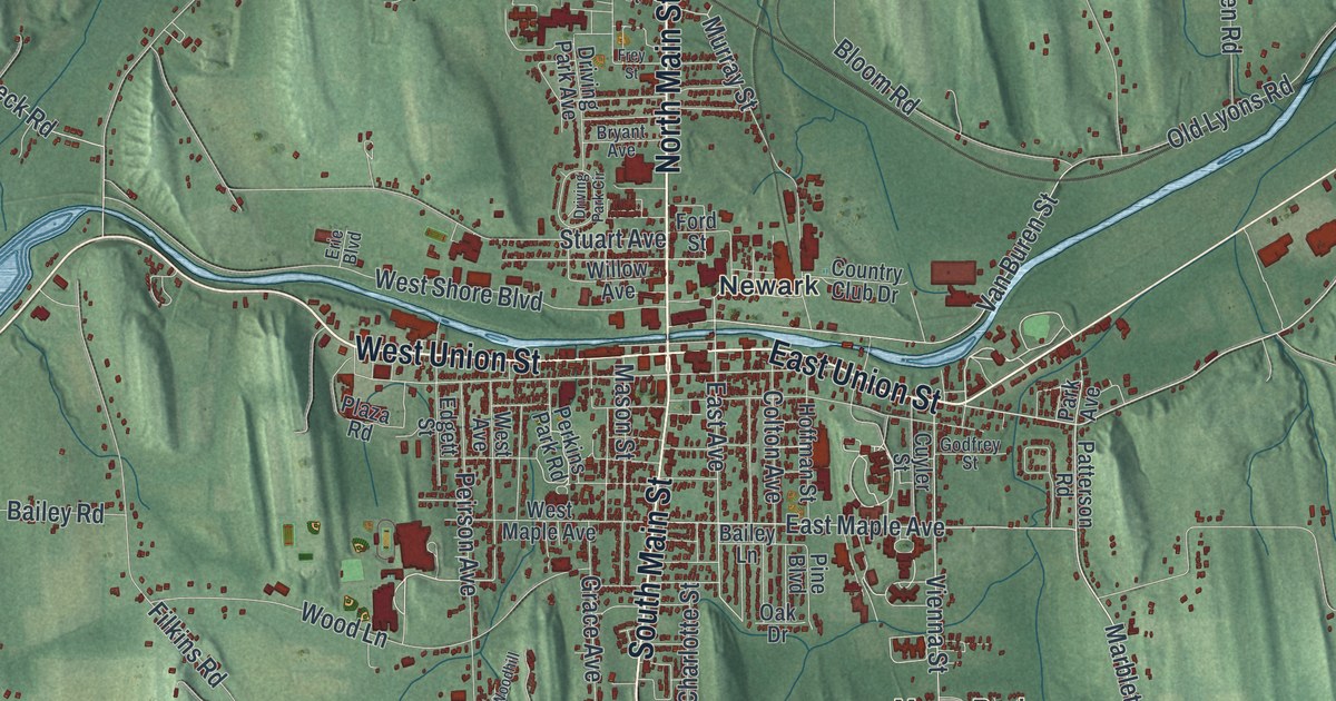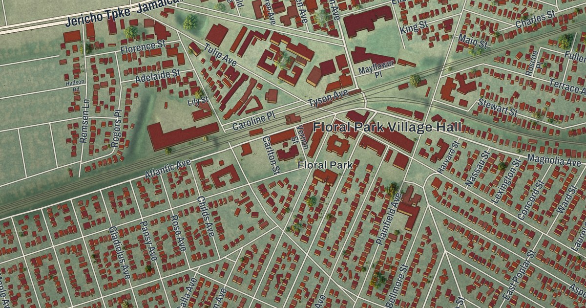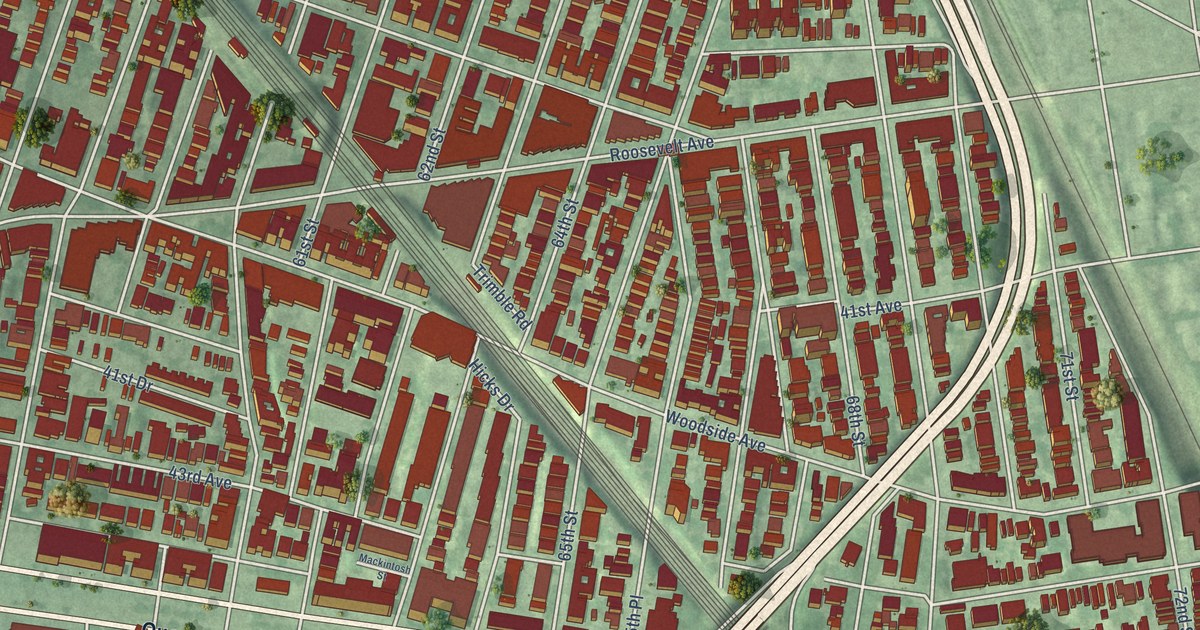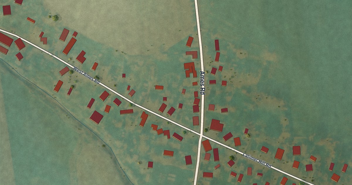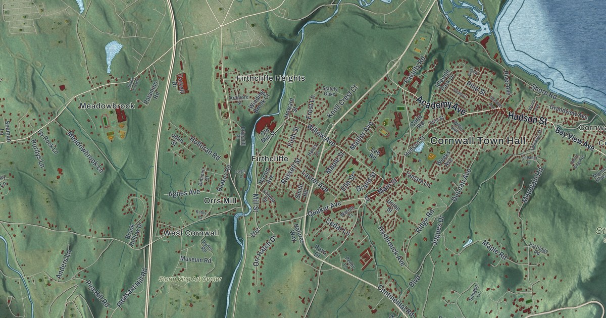
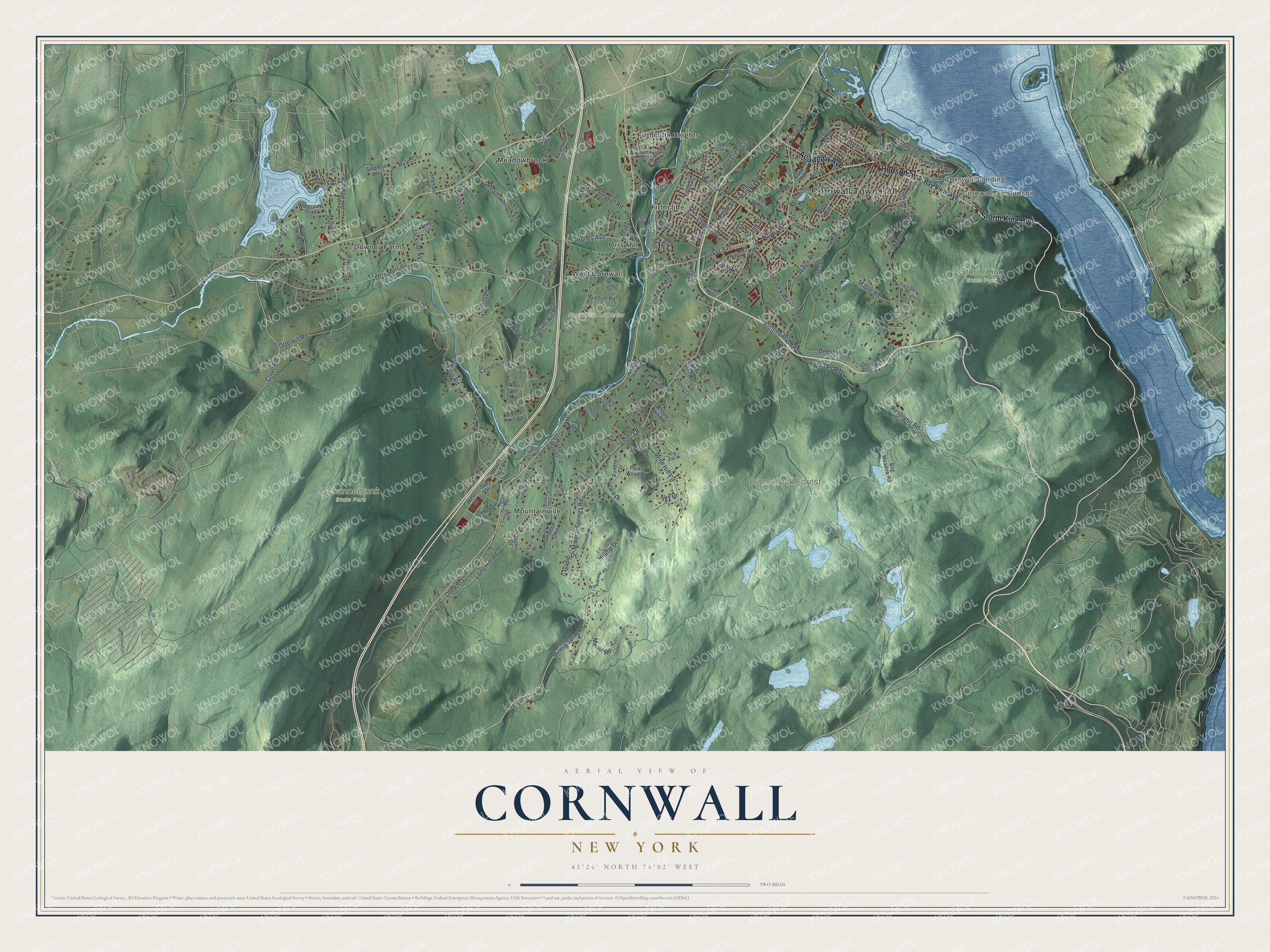
This beautifully detailed map of Cornwall, New York was created in 2026 using aerial imagery combined with modern topographical, census, street and landmark data. It’s a one-of-a-kind view of Cornwall that combines accurate data with a vintage aesthetic. The map shows every building in its true location, many of the roads carry their names, and the shaded topographic relief shows the shape of the land.
Explore an aerial view of Cornwall, New York
On the map you’ll find Cornwall Town Hall, Cornwall Landing, Cornwall-on-Hudson, Downey Farms, Firthcliffe, Firthcliffe Heights, Black Rock Forest, Schunnemunk State Park, and Storm King State Park, along with Storm King Highway, Hudson Street, Academy Avenue, Bay View Avenue, and more. If you look closely you can even find your house accurately drawn in its correct location. Zoom in on the preview to look for yours.
Did You Know?
In 1685 a colony of 25 Scottish families settled near the mouth of Moodna Creek. Major Patrick McGregor led them, along with David Toiseach, who was his brother-in-law. Later settlers called the high farmland above the river New Cornwall, since it looked so much like Cornwall in England. The town became simply Cornwall in 1797.
Take a closer look at the Cornwall map
Names on this map
These names are printed on this map.
Places: Cornwall Town Hall, Cornwall Landing, Cornwall-on-Hudson, Black Rock Forest, Schunnemunk State Park, Storm King State Park, Storm King Art Center, Downey Farms, Firthcliffe, Firthcliffe Heights, Meadowbrook, Mountainville, Orrs Mill and West Cornwall.
Streets and roads: Storm King Highway, Hudson Street, Academy Avenue, Mineral Springs Road, Willow Avenue, Main Street, Mill Street, Reservoir Road, Duncan Avenue, Angola Road, Orrs Mills Road, Otterkill Road.
More street names, A to Z
Agnes Avenue, Alder Drive, Amy Lane, Anders Lane, Ardmore Street, Armands Way, Bay View Avenue, Beakes Road, Black Locust, Bog Meadow Road, Boulder Drive, Boulevard, Breeze Hill Road, Briarcliff Place, Brook Hollow Drive, Cedar Lane, Cemetery Road, Cherry Hill Road, Chris Court, Clove Road, Continental Road, Creekside Lane, Curie Road, Deerfield Lane, Deer Hill Road, Deer Hill Road Extension, Dimiceli Street, Eagle Drive, Elm Drive, Elm Street, Erin Court, Faculty Road, Fawn Hill Road, Filomia Drive, First Street, Firth Street, Frost Lane, Gadiri Drive, Gayton Drive, Grand Street, Grandview Avenue, Harold Avenue, Harris Lane, Hasbrouck Avenue, Hemlock Hill Road, Hess Road, Hidden Glen, Hilltop Drive, Holloran Road, Howard Street, Idlewild Avenue, Idlewild Park Drive, Industry Drive, Iris Road, Ivy Rock Lane, Jackson Avenue, Jeff, Jogues Drive, John Street, Juenger Road, Juniper Glen, Kathy Court, Kellsey Lane, Knoll Crest Court, Lafayette Street, Lakeview Trail, Lapanni Lane, Laurel Avenue, Lee Road, Log Lane, Long Hill Road, Mailler Avenue, Maple Hill Drive, Maple Road, Maple Street, Meadowbrook Lane, Merrill Road, Mine Hill Road, Mineral Spring Road, Morris Lane, Mountain House Lane, Mountain Road, Museum Road, Nanuwitt Lane, Natures Way, Noor Lane, Nova Drive, Oak Tree Drive, Ogden Drive, Old Mill Street, Old Route 32, Orr Hatch Drive, Palamino Road, Paradise Hill, Parks Wood Drive, Partridge Road, Paula Court, Pea Hill Road, Pecks Road, Penny Lane, Pine Street, Pleasant Hill Road, Ponderosa Drive, Pozo Drive, Purdys Lane, Quaker Avenue, Ridge Road, River Avenue, Rock Acres, Russell Street, Ryan Court, Ryder Road, Sara Drive, Seaman Lane, Seidman Way, Sengen Lane, Shaw Road, Shore Drive, Shore Road, Sky Drive, Smith Road, Star Drive, Stately Oaks, Stony Acres Trail, Storm Haven Road, Storm King Avenue, Sugar Maples, Sycamore Drive, Tamara Lane, Tarkett Drive, Taylor Road, Tenny Lane, Tilford Place, Tolleson Place, Tundra Terrace, Union Street, Vaida Lane, Viva Lane, Warren Court, Waterbrook Road, Waterview Trail, Weeks Avenue, West Drive, West Street, Willis Avenue, Winding Brook Court, Windsor Lane, Wood Avenue, Woodbury Road, Wyndgate Drive.
See it on a wall
The Cornwall map as a framed print. Swipe for more.


This beautifully detailed map of Cornwall makes an attractive addition to your office, library, or den, and it can even be used to teach children the geography and history of the area. It also makes a great gift for someone who left Cornwall and still calls it home. When you’re done exploring, click here to get your copy of the Cornwall map.