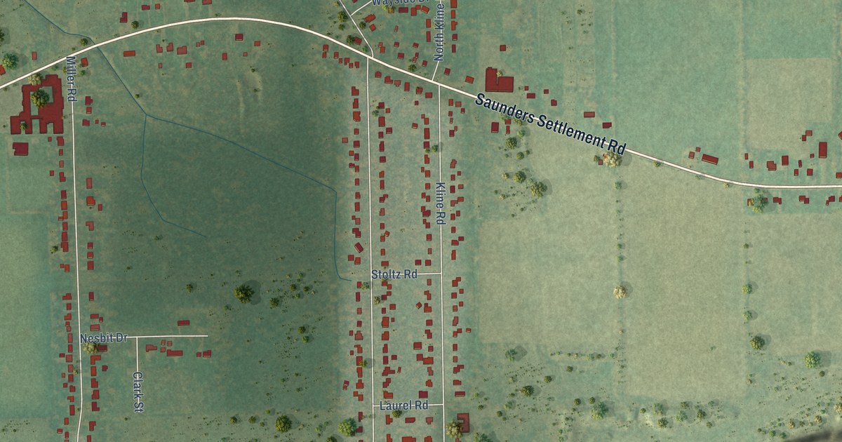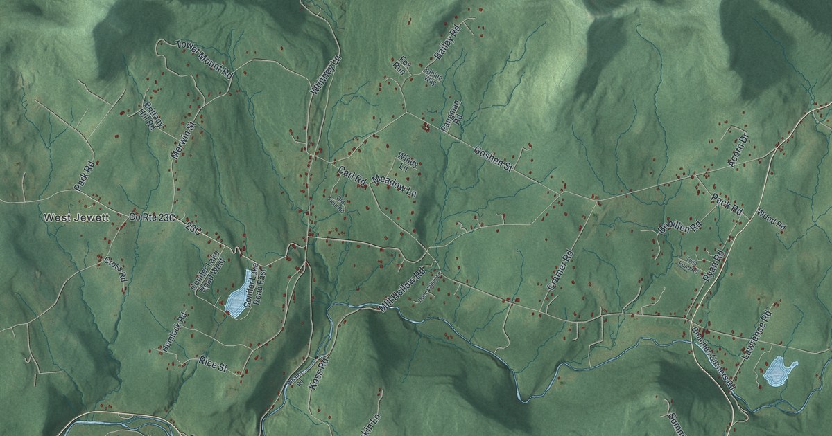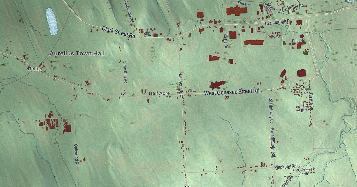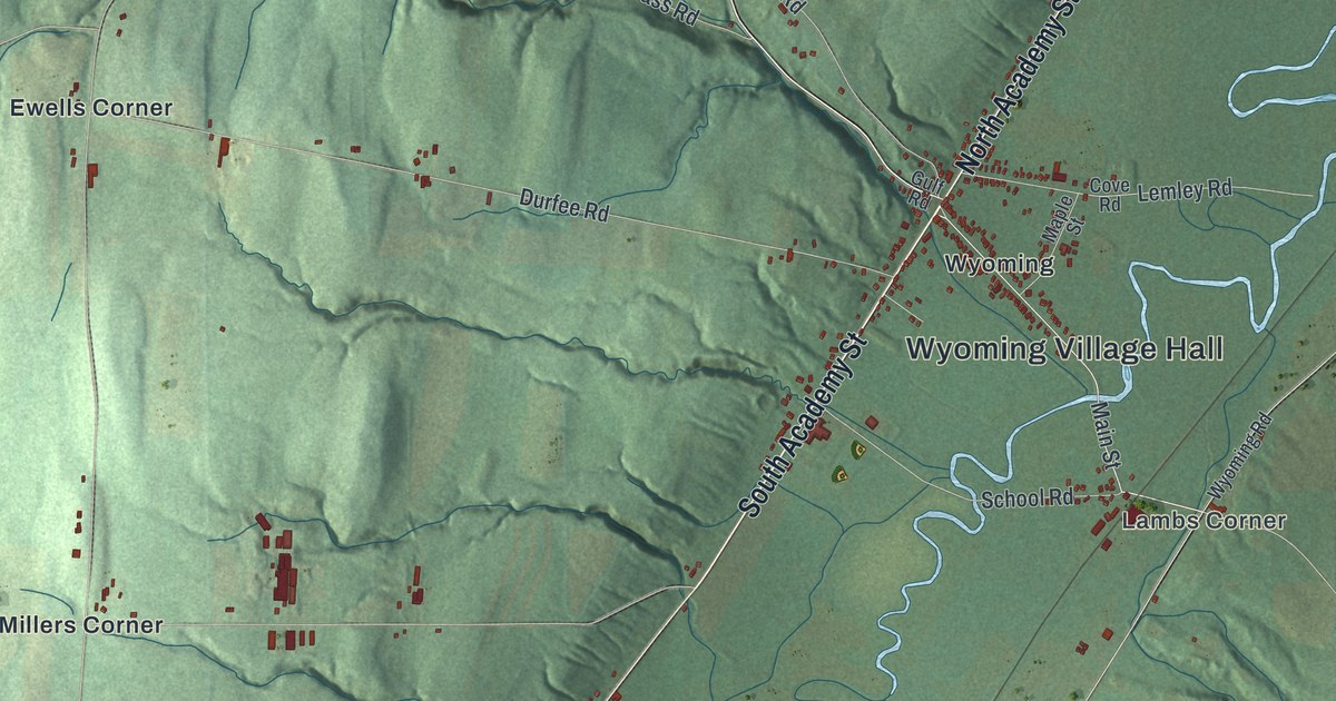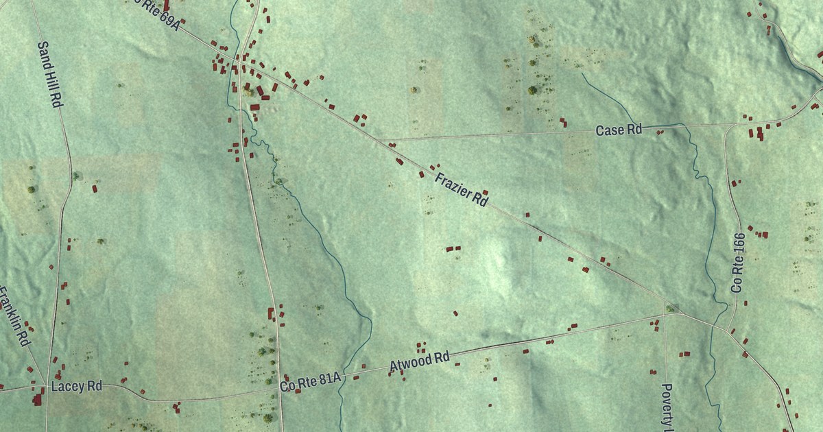
This beautifully detailed map of Sempronius, New York was created in 2026 using aerial imagery combined with modern topographical, census, street and landmark data. It’s a one-of-a-kind view of Sempronius that combines accurate data with a vintage aesthetic. The map shows every building in its true location, many of the roads carry their names, and the shaded topographic relief shows the shape of the land.
Explore an aerial view of Sempronius, New York
On the map you’ll find Dresserville, Glen Haven, Morse Mill, Bear Swamp State Forest, and Summer Hill State Forest, along with Lake Como Road, Dumplin Hill Road, Hatheway Road, Ridge Road, White Road, and more. If you look closely you can even find your house accurately drawn in its correct location. Zoom in on the preview to look for yours.
Did You Know?
Robert Harpur, a clerk with a love of the classics, named Sempronius for a Roman military and political leader. The first settler arrived around 1793, and the town broke away from Scipio in 1799. John Wood was born here on December 20, 1798. He later served as the 12th Governor of Illinois.
Take a closer look at the Sempronius map
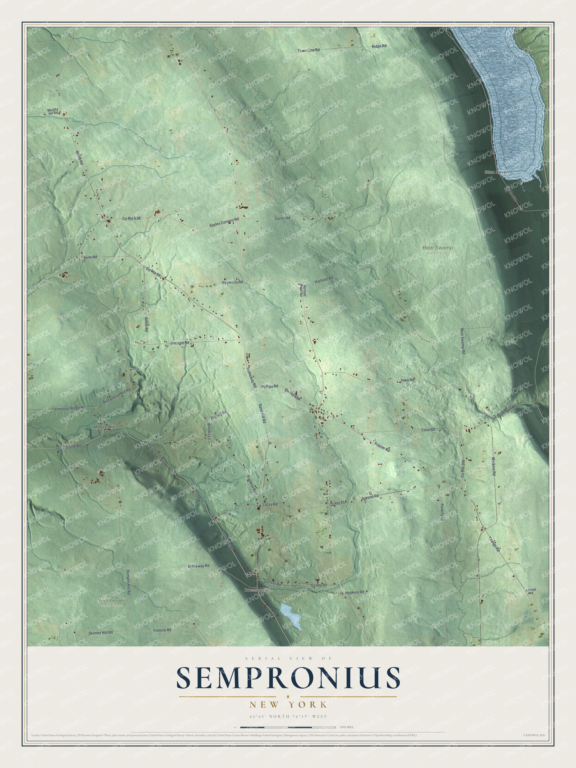
Names on this map
These names are printed on this map.
Places: Dresserville, Glen Haven, Bear Swamp State Forest, Summer Hill State Forest and Morse Mill.
Streets and roads: Lake Como Road, Dumplin Hill Road, Hatheway Road, Ridge Road, White Road, Phillips Road, Richardson Hill Road, Atwood Road, Bear Swamp Road, Youngs Road, County Route 69, Dresserville Road.
More street names, A to Z
Big Hill Road, Brockway Road, Brooks Lane, Case Road, Chestnut Ridge Road, County Route 80, County Route 166, Crofoot Road, Curtin Road, Filmore Road, Franklin Road, Frazier Road, Hartnett Road, Hartnett Road Spr, Hopkins Road, Iowa Road, Lacey Road, Leland Road, Mitchell Road, Murphy Hill Road, New Road, North Glen Haven Road, Poverty Lane, Reynolds Road, Sand Hill Road, Sayles Corners Road, Scott Gulf Road, Skinner Hill Road, Smith Road, Town Line Road, Watkins Road.
See it on a wall
The Sempronius map as a framed print. Swipe for more.


This beautifully detailed map of Sempronius makes an attractive addition to your office, library, or den, and it can even be used to teach children the geography and history of the area. It also makes a great gift for someone who left Sempronius and still calls it home. When you’re done exploring, click here to get your copy of the Sempronius map.