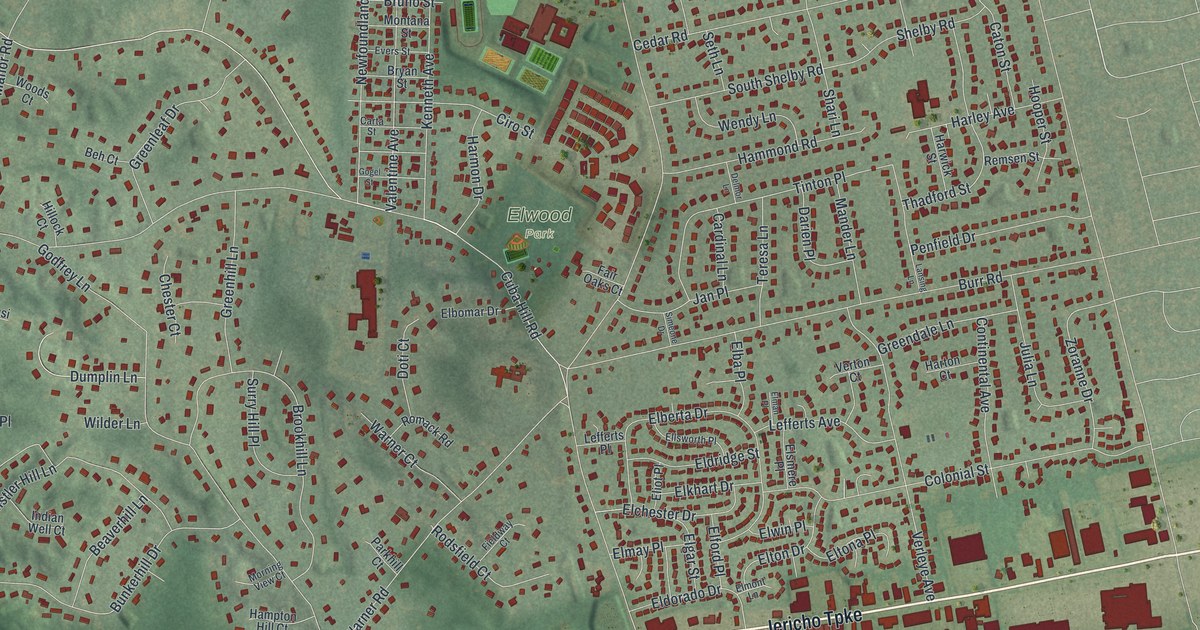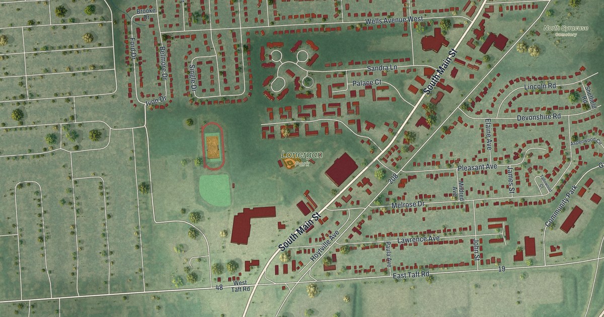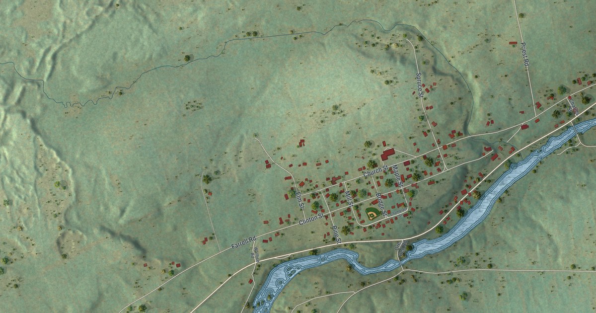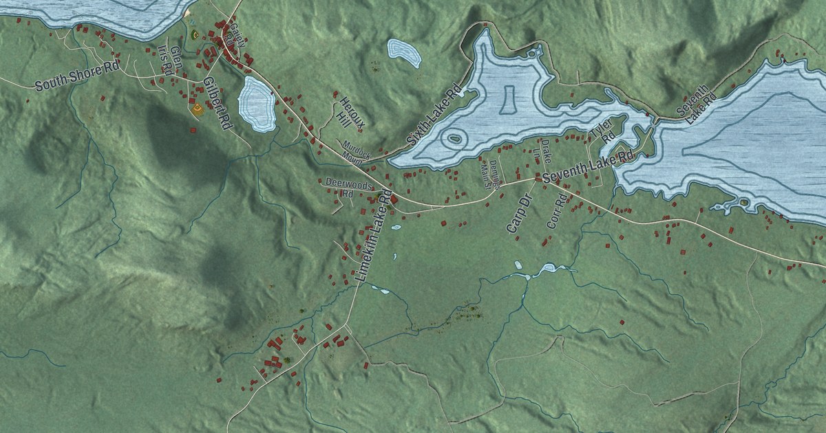
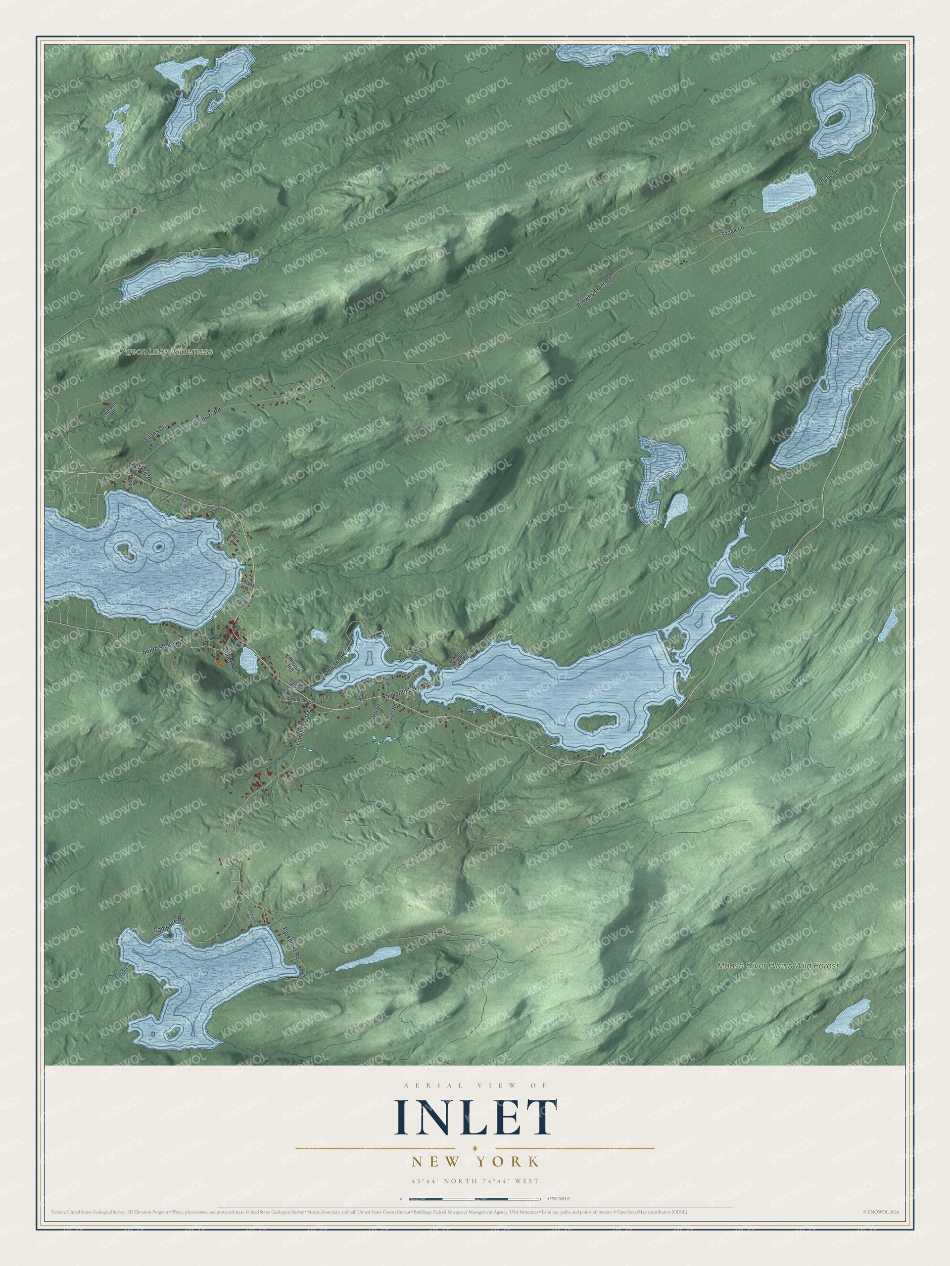
This beautifully detailed map of Inlet, New York was created in 2026 using aerial imagery combined with modern topographical, census, street and landmark data. It’s a one-of-a-kind view of Inlet that combines accurate data with a vintage aesthetic. The map shows every building in its true location, many of the roads carry their names, and the shaded topographic relief shows the shape of the land.
Explore an aerial view of Inlet, New York
On the map you’ll find Moose River Plains Wild Forest, along with Browns Tract Road, Limekiln Lake Road, Uncas Road, Sixth Lake Road, Campsite Road, and more. If you look closely you can even find your house accurately drawn in its correct location. Zoom in on the preview to look for yours.
Did You Know?
Inlet took its name from its spot at the eastern end, or inlet, of Fourth Lake in the Fulton Chain of Lakes. The area grew after the middle 1800s to serve visiting sportsmen. It became its own town in 1901, carved from the north part of Morehouse.
Take a closer look at the Inlet map
Names on this map
These names are printed on this map.
Places: Moose River Plains Wild Forest and Pigeon Lake Wilderness.
Streets and roads: Browns Tract Road, Limekiln Lake Road, Uncas Road, Sixth Lake Road, Campsite Road, Uncas Street, Stock Lane, South Shore Road, Parkhurst Road, Seventh Lake Road, Evans Drive, Gilbert Road.
More street names, A to Z
Albredor, Carp Drive, Cliffview, Corr Road, Deerwoods Road, Demings Main Street, Drake Lane, Gaiety Road, Glen Iris Road, Heroux Hill, Highland Trail, Murdock Mount, Old Route 28, Paownyc Road, Rocky Point Lane, Shady Lane, Solvay Lane, Tamarack Road, Thibado Road, Tyler Road.
See it on a wall
The Inlet map as a framed print. Swipe for more.


This beautifully detailed map of Inlet makes an attractive addition to your office, library, or den, and it can even be used to teach children the geography and history of the area. It also makes a great gift for anyone who grew up in Inlet or moved away. When you’re done exploring, click here to get your copy of the Inlet map.