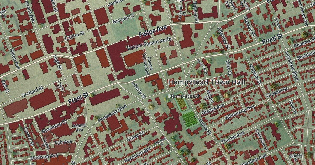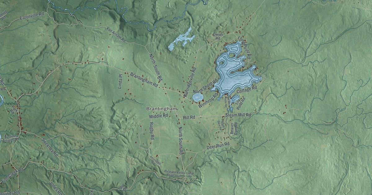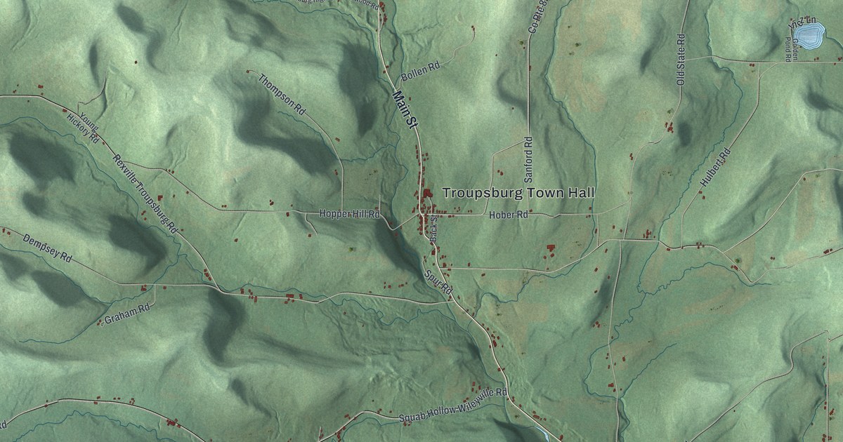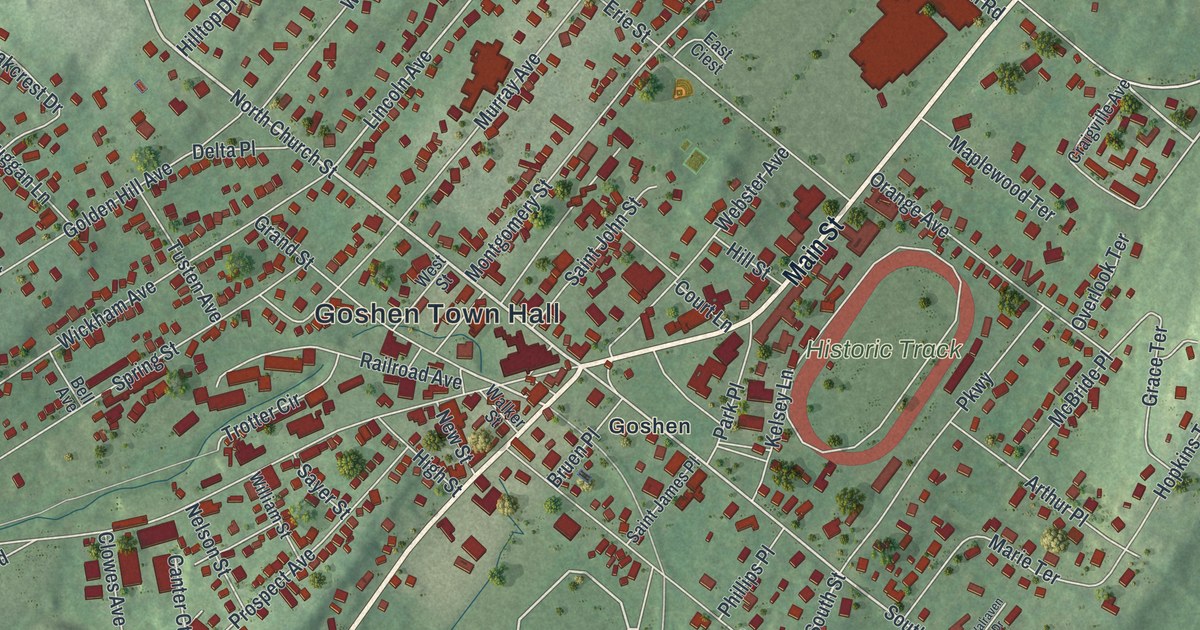
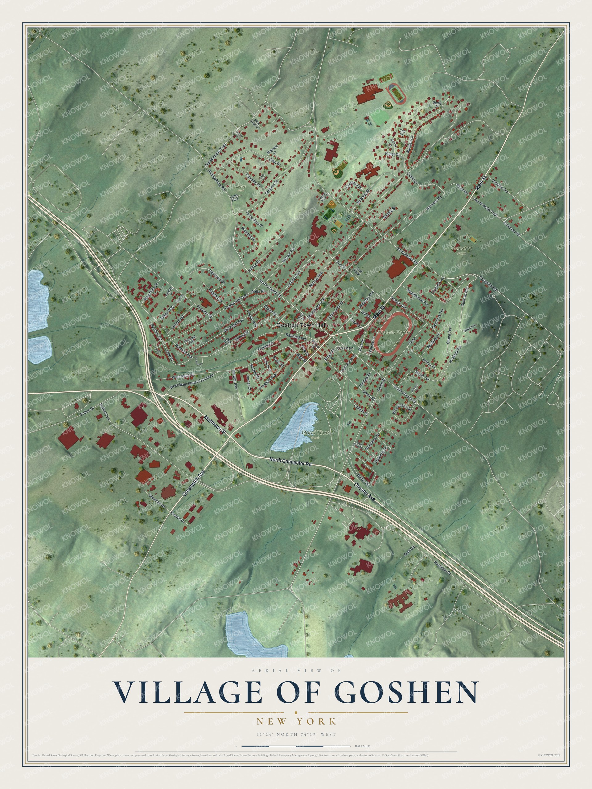
This beautifully detailed map of the Village of Goshen, New York was created in 2026 using aerial imagery combined with modern topographical, census, street and landmark data. It’s a one-of-a-kind view of the Village of Goshen that combines accurate data with a vintage aesthetic. The map shows every building in its true location, many of the roads carry their names, and the shaded topographic relief shows the shape of the land.
Explore an aerial view of the Village of Goshen, New York
On the map you’ll find Goshen Town Hall, Good Time Park, Salesian Park, and Lions Park, along with Greenwich Avenue, Main Street, Chester Avenue, Matthews Street, and more. If you look closely you can even find your house accurately drawn in its correct location. Zoom in on the preview to look for yours.
Did You Know?
By the 1750s, Goshen people were racing horses down the road that is now Main Street. In 1838 they built a round track near a circus ground. It became the Historic Track, and races are still run there one week a year. No horse racing track in the country has been in use longer.
Take a closer look at the Village of Goshen map
Names on this map
These names are printed on this map.
Places: Goshen Town Hall, Good Time Park, Historic Track, Salesian Park, Lions Park and Goshen.
Streets and roads: Greenwich Avenue, Main Street, Chester Avenue, North Connector Road, Matthews Street, North Church Street, Sunrise Heights, Craigville Road, South Street, South Church Street, Grand Street, Railroad Avenue.
More street names, A to Z
Arthur Place, Aunt Circle, Bell Avenue, Bruen Place, Butler Drive, Cahill Drive, Camelot Drive, Canter Court, Clowes Avenue, Coates Drive, Coleman Road, Colt Court, Corral Lane, Court Lane, Craigville Avenue, Crescent Drive, Delta Place, Derby Circle, Dikeman Drive, Duggan Lane, East Ciest, Erie Street, Fletcher Street, Garden Terrace, Glen Drive, Golden Hill Avenue, Grace Terrace, Green Street, Gregory Drive, Hanna Lane, Harness Road, Harriman Drive, Hatfield Lane, High Street, Hillcrest Avenue, Hill Street, Hilltop Drive, Hopkins Terrace, Horsre Shoe Court, Jackson Lane, Judd Place, Justin Court, Kelsey Lane, Le Baron Lane, Lincoln Avenue, Loretta Lane, Ludlum Place, Maiden Lane, Majestic Lane, Maplewood Terrace, Marie Terrace, McBride Place, McNally Street, Middle Street, Montgomery Street, Murray Avenue, Nelson Street, New Street, Oakcrest Drive, Old Minisink Trail, Orange Avenue, Overlook Terrace, Oxford Road, Pacer Court, Park Place, Parkway, Phillipsburg Road, Phillips Place, Pine Tree Lane, Police Drive, Pond Road, Prospect Avenue, Ridge Way, Ridgeway, Robalene Drive, Ryerson Avenue, Saint James Place, Saint John Street, Sarah Wells Trail, Sayer Street, Scotchtown Road, South Brae Road, Spring Rock Drive, Spring Street, Timberly Drive, Trotter Circle, Tusten Avenue, Vers Lane, Victoria Terrace, Walker Street, Walraven Drive, Webster Avenue, West Main Street, West Main Street Extended, West Street, Wickham Avenue, William Street, Winston Drive, Wisner Terrace, Woodhills Drive, Woodmere Circle.
See it on a wall
The Goshen map as a framed print. Swipe for more.


This beautifully detailed map of the Village of Goshen makes an attractive addition to your office, library, or den, and it can even be used to teach children the geography and history of the area. It also makes a great gift for anyone who grew up in the Village of Goshen or moved away. When you’re done exploring, click here to get your copy of the Village of Goshen map.