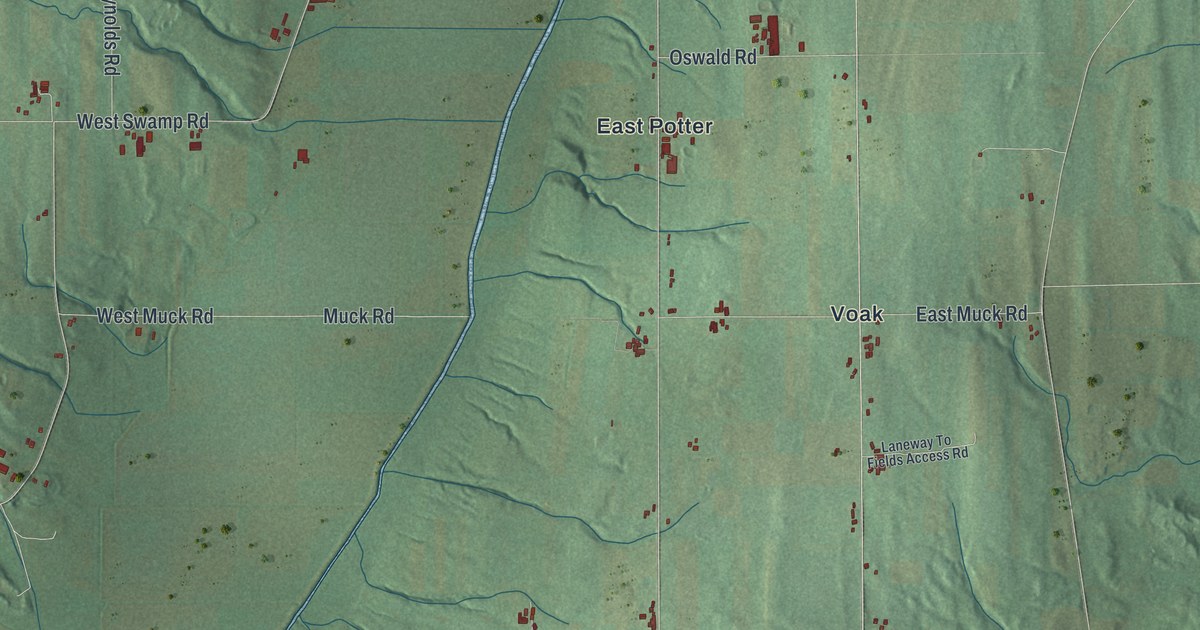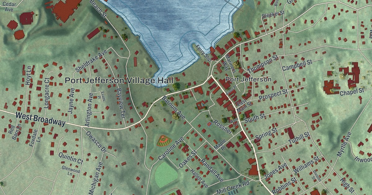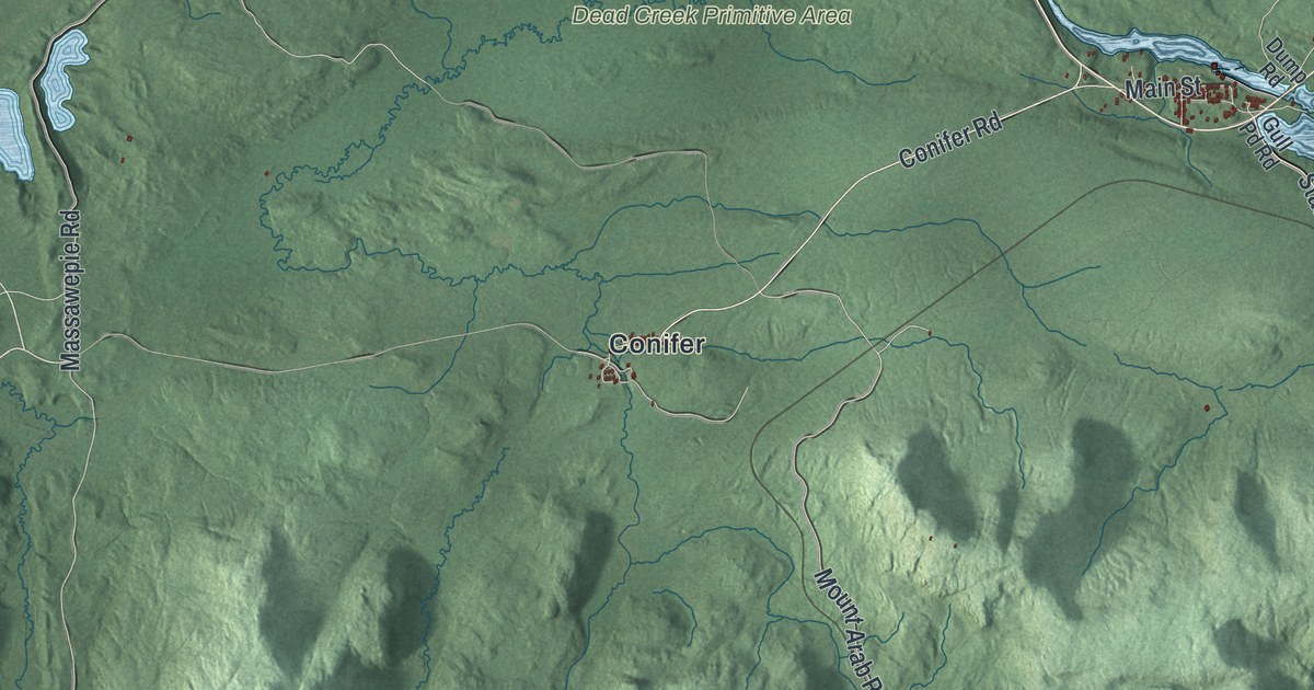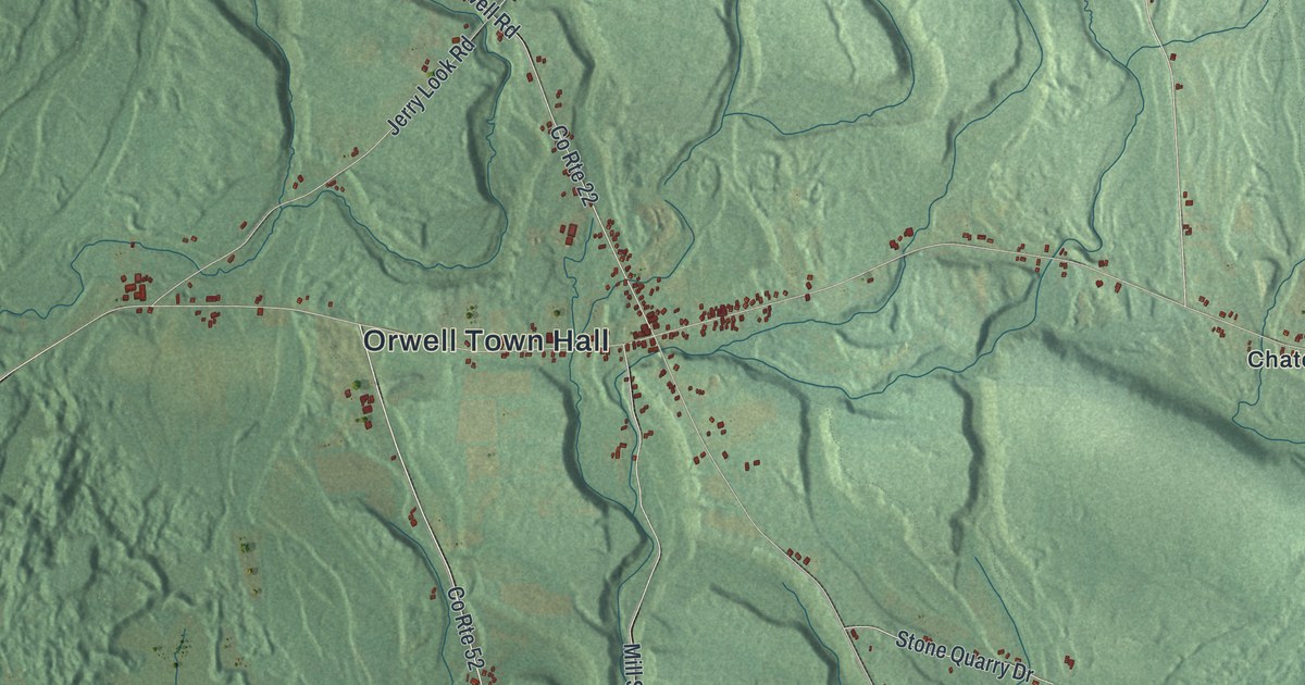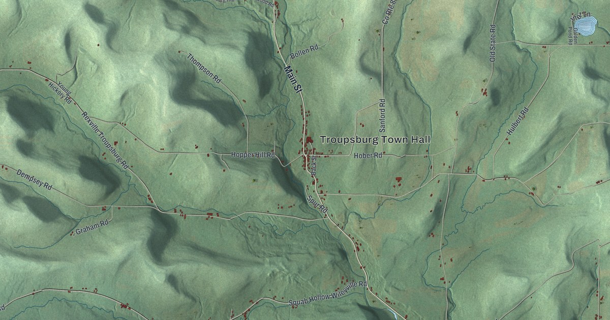
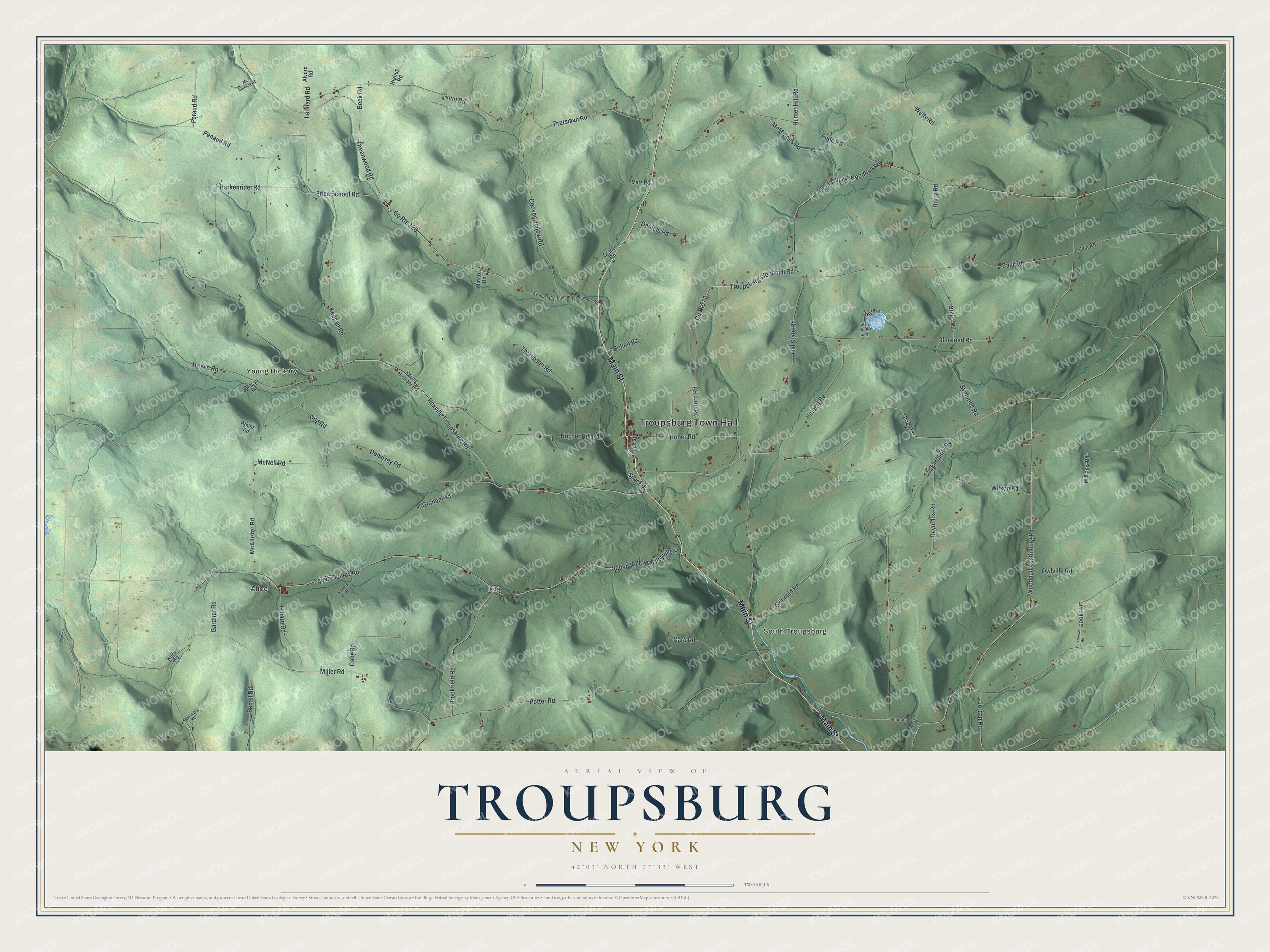
This beautifully detailed map of Troupsburg, New York was created in 2026 using aerial imagery combined with modern topographical, census, street and landmark data. It’s a one-of-a-kind view of Troupsburg that combines accurate data with a vintage aesthetic. The map shows every building in its true location, many of the roads carry their names, and the shaded topographic relief shows the shape of the land.
Explore an aerial view of Troupsburg, New York
On the map you’ll find Troupsburg Town Hall, Alice, Young Hickory, South Troupsburg, and Lila, along with Main Street, Troupsburg Woodhull Road, Brookfield Road, Miller Road, and more. If you look closely you can even find your house accurately drawn in its correct location. Zoom in on the preview to look for yours.
Did You Know?
Troupsburg honors Colonel Robert Troup. He fought in the American Revolution and served as a federal judge. Later he became land agent for the huge Pulteney Estate. The first settler came in 1805, and the town was formed from Canisteo and Addison in 1808.
Take a closer look at the Troupsburg map
Names on this map
These names are printed on this map.
Places: Troupsburg Town Hall, Alice, Young Hickory, South Troupsburg and Lila.
Streets and roads: Main Street, Troupsburg Woodhull Road, Troupsburg-Woodhull Road, Brookfield Road, Miller Road, County Route 82, County Route 126, Cady Road, Price School Road, Peraud Road, Rexville Troupsburg Road, Squab Hollow Road.
More street names, A to Z
Alvord Road, Atkins Road, Back Street, Beck Road, Blueberry Road, Bollen Road, Brown Road, Card Road, Colvin Road, Cook Hollow Road, Cook Road, Coover Hollow Road, Crane Road, Daniels Road, Dempsey Road, Gardner Road, Golden Pond Road, Graham Road, Greenwood Road, Grinnold Road, Gunn Road, Harkenrider Road, Harry Road, Highup Road, Hillard Road, Hober Road, Hopper Hill Road, Hulbert Road, Hunter Hill Road, Inez Lane, Jordan Road, Keegan Road, Kelly Road, King Road, Leonard Road, Log Road, Mason Road, McAllister Road, Mc Cormick Road, McMindes Road, McNeil Road, Metz Road, Minard Road, Old State Road, Olmstead Road, Owlville Road, Paddock Road, Paul Road, Penaud Road, Potter Road, Prutsman Road, Reynolds Road, Rude Road, Sanford Road, Schall Road, Schoonover Road, Spur Road, Squab Hollow Wileyville Road, Stiles Road, Symonds Road, Thompson Road, Tombs Road, Troupsburg Highup Greenwood Road, Welty Road, Williams Road, Wilson Road, Woodhull Austinburg Road, Young Hickory Road.
See it on a wall
The Troupsburg map as a framed print. Swipe for more.


This beautifully detailed map of Troupsburg makes an attractive addition to your office, library, or den, and it can even be used to teach children the geography and history of the area. It also makes a great gift for anyone who grew up in Troupsburg or moved away. When you’re done exploring, click here to get your copy of the Troupsburg map.